4 Days of Fall in Glacier National Park
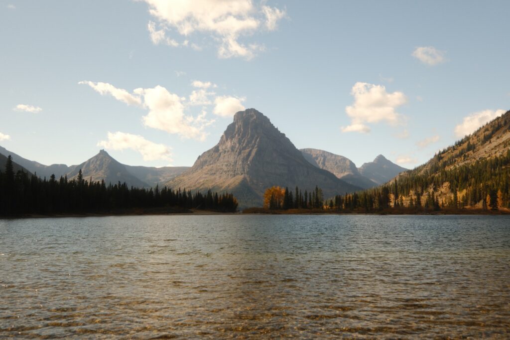
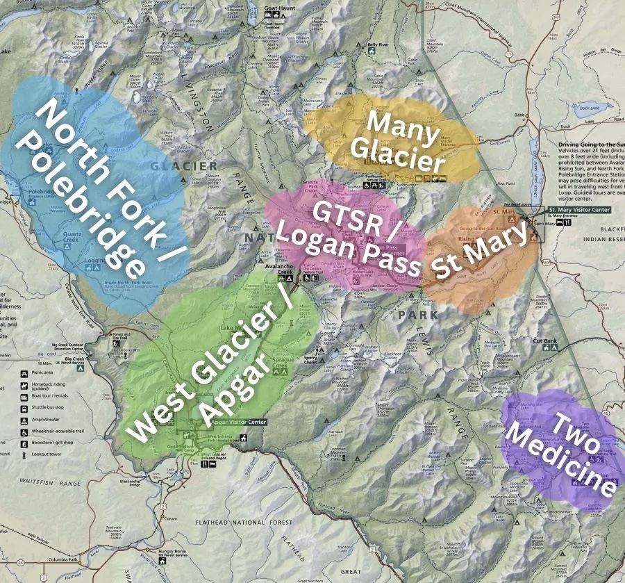
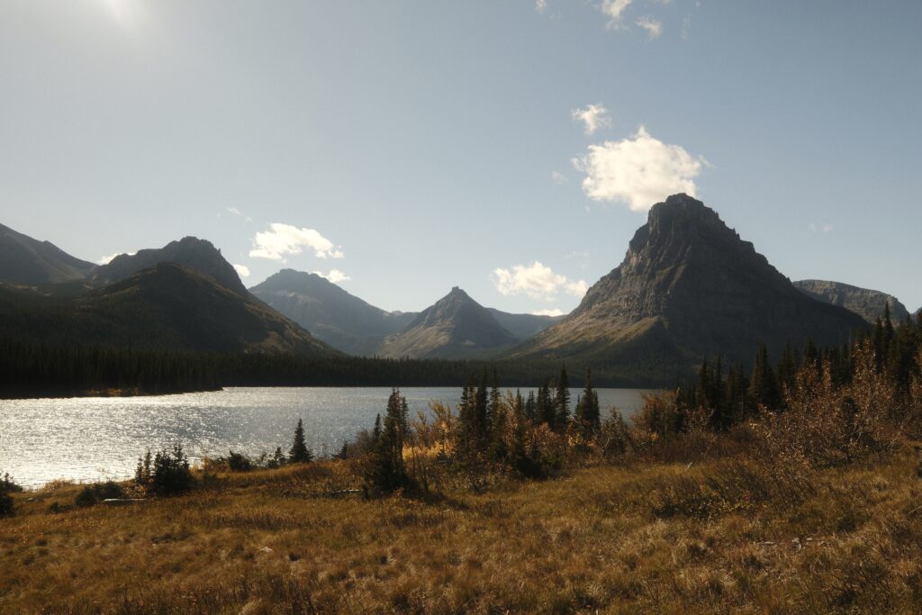
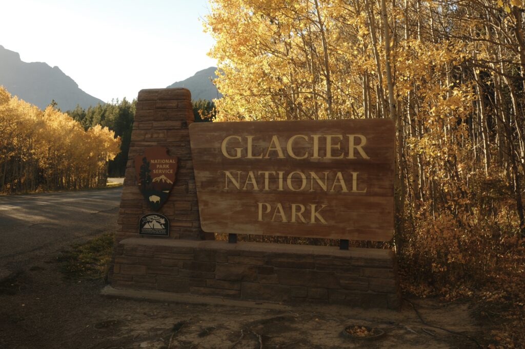
Glacier National Park, nicknamed “The Crown of the Continent”, is an adventurers paradise full of glaciers, mountains, lakes, alpine meadows, wildlife, and over 700 miles of hiking trails. The park spans over one million acres made up of different areas: Lake McDonald, Many Glacier, St Mary, Two Medicine, Logan Pass, and North Fork.
Traveling Around the Park
It can take around two hours to travel between the west side and east side of the park. Because everything is so spread out, I highly recommend renting a car or driving to the park. My fiancé and I drove all the way to Montana from Washington so that we could have our own vehicle. If you are not able to drive or rent a car, then you could stay in one area of the park and explore it in depth. For example, Many Glacier is one of the more popular areas in the park that has tons of hiking trails. You could easily spend multiple days here.
Be aware that sections of the park start to shut down during fall. We went in early October (I wanted to capture fall colors) and most amenities outside of Lake McDonald area were not open, such as boat rides, some visitor centers, and lodging options. In mid-October, or whenever it starts to snow, Going-to-the-Sun-Road will shut down, limiting your access to parts of the park until spring. So, just keep closures in mind when planning your trip. You can check the National Park Service’s website for updated park conditions.
Where to Stay
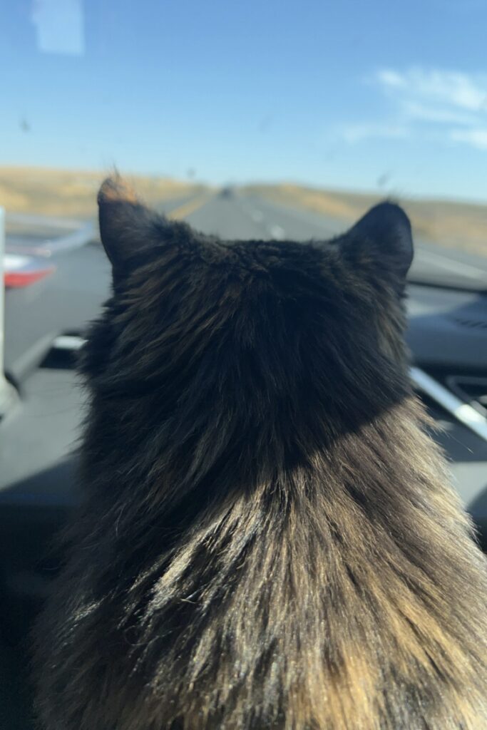
Since the eastern side of the park was mostly closed, we decided to stay on the western side near Lake McDonald. Restaurants were still open on this side of the park as well as the Apgar Visitor Center. We stayed in the small town of Coram on the outskirts of the park for easy access to each area. We found this adorable cabin on Airbnb that is pet friendly, which allowed me to bring my cat and not worry about having to board her (even though she wasn’t to happy about being in an unfamiliar place). Staying in Coram, with Columbia Falls being only a 10 minute drive away, gave us plenty of restaurant options each night and access to grocery stores and gas stations. For breakfast we utilized the kitchen at our Airbnb and for lunch we ate fruit, protein bars, uncrustables (these have become a hiking staple for me), and other snacks.
Our Itinerary
Since we had four full days to spend in the park, we dedicated each day to a different area. I looked up trails before we left (this guide was extremely helpful) and created a list for us to pick from depending on how we were feeling each day. One thing that didn’t cross my mind until we got there was the elevation difference between where we live and that of Glacier National Park, which may be a lot higher than you are used to. I greatly underestimated the elevation gain and was exhausted most of our trip. So we didn’t do any longer, strenuous hikes (like the popular hike to Grinnell Glacier), but we still saw a lot of the park. This is what we ended up doing each day:
Day 1 – Lake McDonald & North Fork
- Avalanche Lake Trail
- Fish Creek Picnic Area on Lake McDonald
- Bowman Lake
- Dinner at Paul Bunyan Bar & Grill
Day 2 – Two Medicine
Day 3 – Lake McDonald to Many Glacier
- Going-to-the-Sun-Road
- St Mary
- Many Glacier
- Snack at Huckleberry Patch
- Dinner at Monaco Steakhouse & Sports Bar
Day 4 – Logan Pass & Lake McDonald
Keep in mind that you WILL NOT have cell service in certain sections of the park. So, make sure you download an offline map or carry a physical map with you. It is also highly advised that you CARRY BEAR SPRAY everywhere you go. Almost every single hike in the park goes into bear territory and there are signs all over the park reminding you that there are bears in the area. We kept our bear spray handy on the side of our backpack and my fiancé ended up carrying it in his hand most of the time on the trails. I also bought these bear proof bags on Amazon to store our snacks in to offer us a little more peace of mind. We didn’t see any bears on the trails while we were there, but we did see a couple of bears running across North Fork Road and a bear on the mountainside near Many Glacier. Don’t stray from the trail, stay alert, and most importantly, enjoy the beauty the park has to offer! Now, let’s get into the details of everything that we saw during our fall trip in Glacier National Park.
avalanche
Avalanche Lake Trail
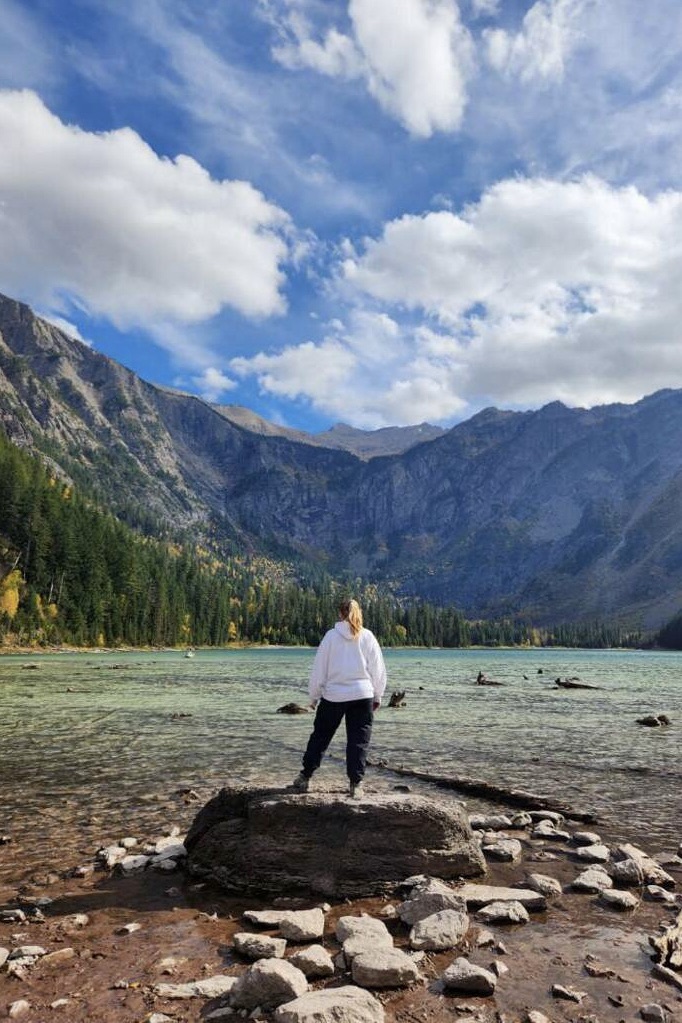
The hike to Avalanche Lake is a fairly easy one, with an elevation gain of 730 feet over the course of 4.5 miles roundtrip. Before you reach the official trail to Avalanche Lake, you will walk along the Trail of Cedars for about half a mile (you could also walk the entire Trail of Cedars Loop, adding an additional mile onto your hike). At the end of the half a mile, the junction for Avalanche Lake will be to the south, winding uphill next to a wooden bridge. This bridge offers views into a beautiful gorge containing Avalanche Creek flowing down into a small waterfall. From the junction, Avalanche Lake Trail climbs steadily through the forest passing by trees that are up to 500 years old.
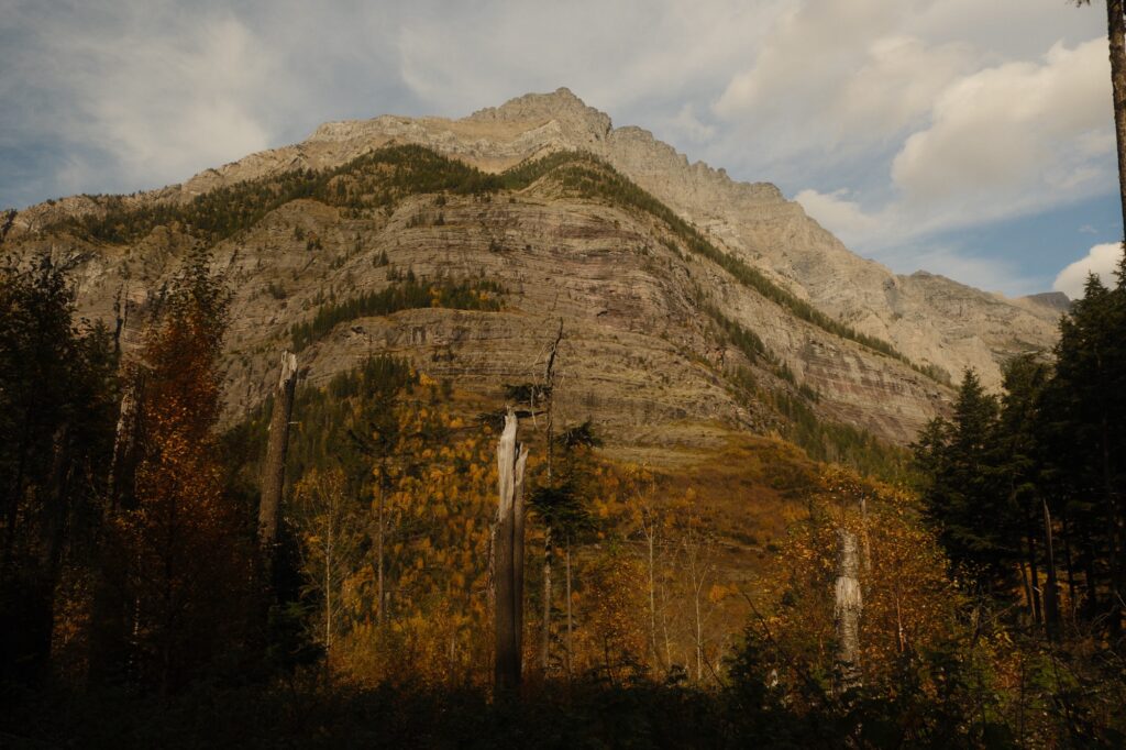
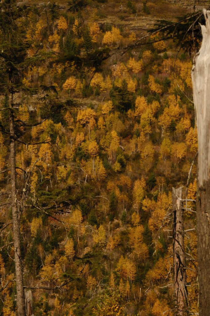
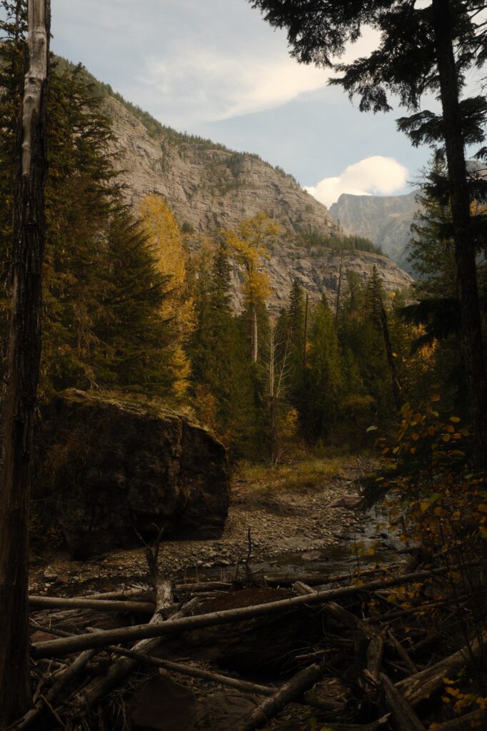
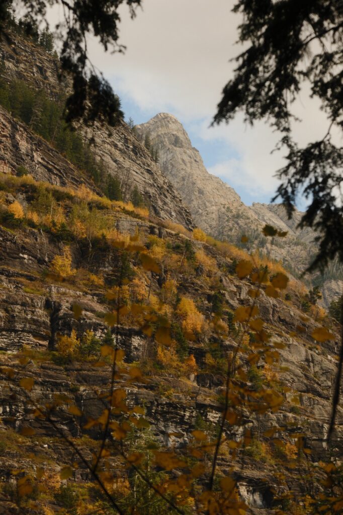
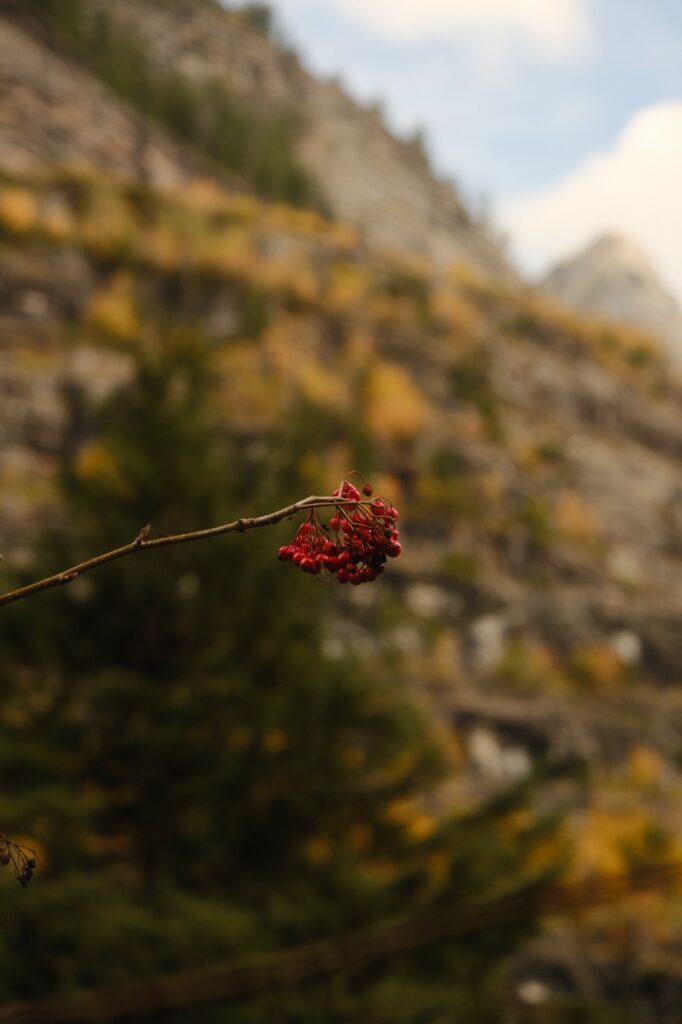
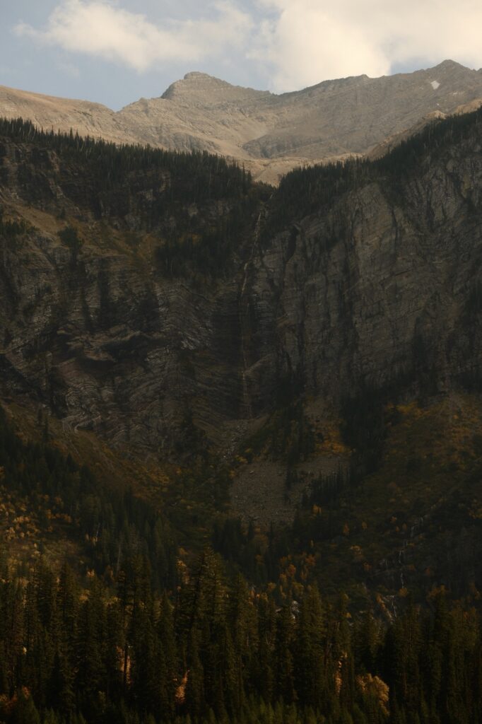
As you can see above, fall colors on this trail were gorgeous. Speckles of yellow covering the surrounding mountainside was a sight to behold. Although there was only 730 feet of elevation gain on this hike, we were huffing and puffing by the time we reached the lake. We were met at the lake by an adorable, unexpected greeter.
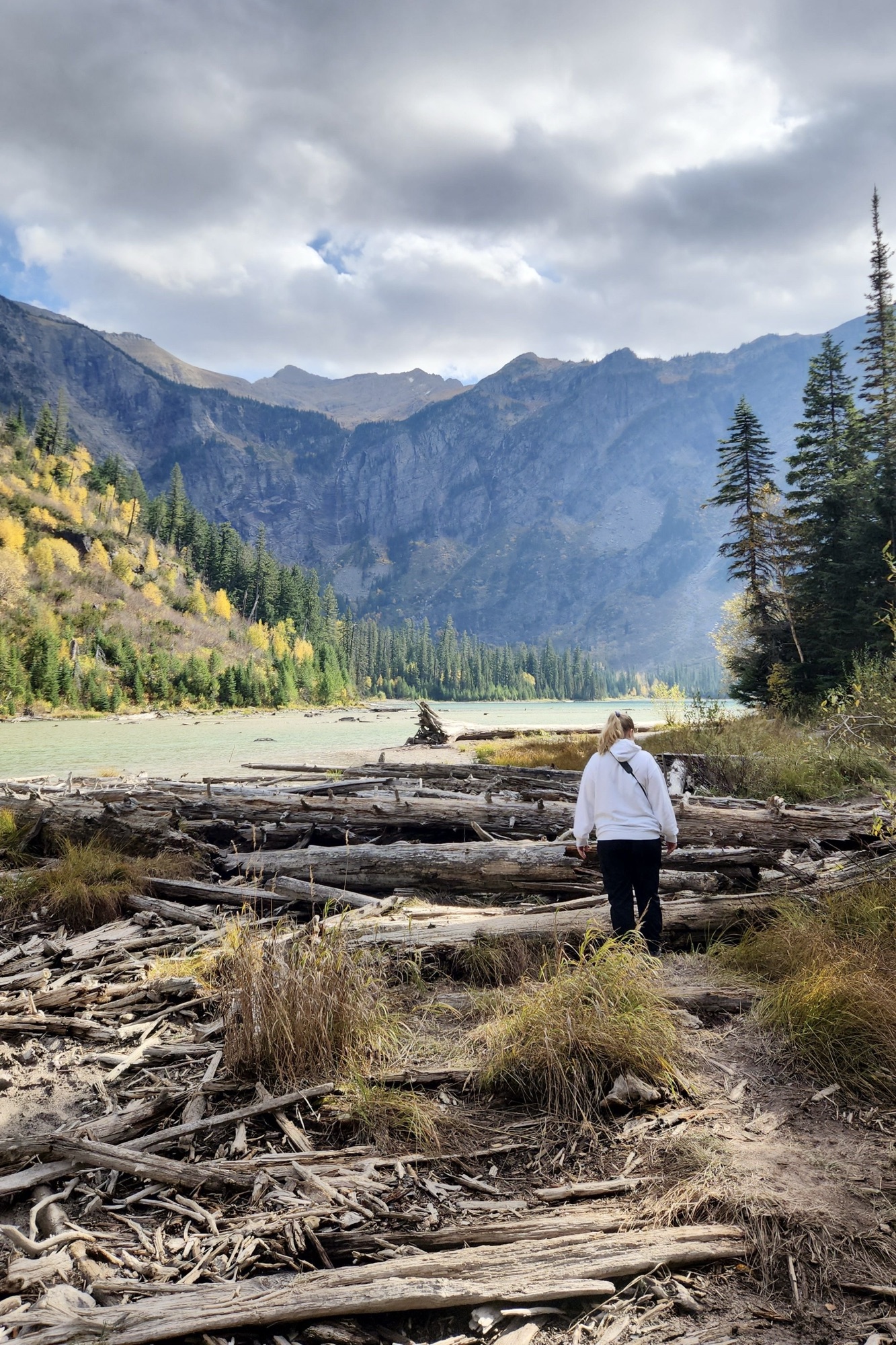
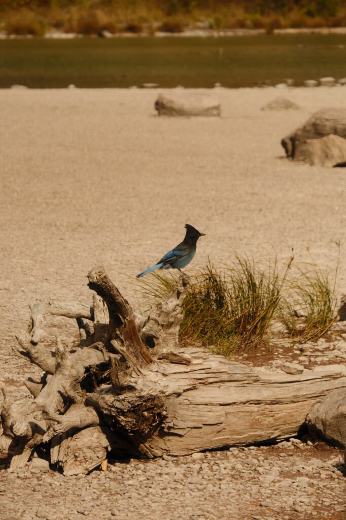
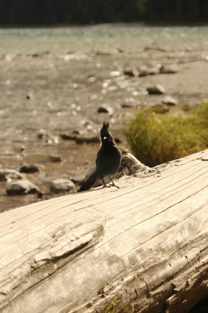
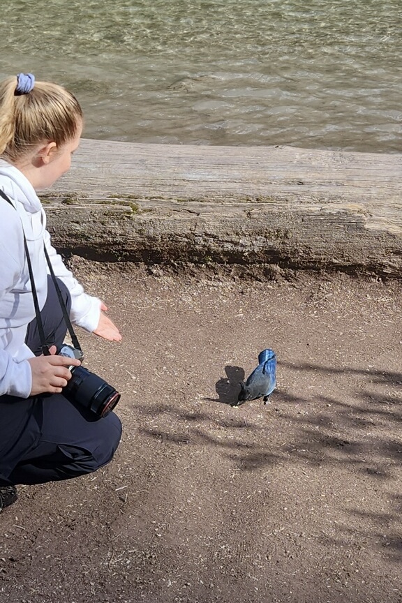
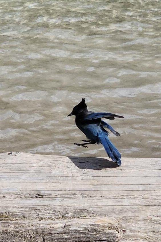
There were about three of these birds flying around near the lake. They were funny to watch and didn’t seem to be too scared of humans. We spent some time at the lake walking around and taking in the views. I was able to test out my new Fujifilm XF 10-24mm and XF 55-200mm lenses for the first time too, which was very exciting!
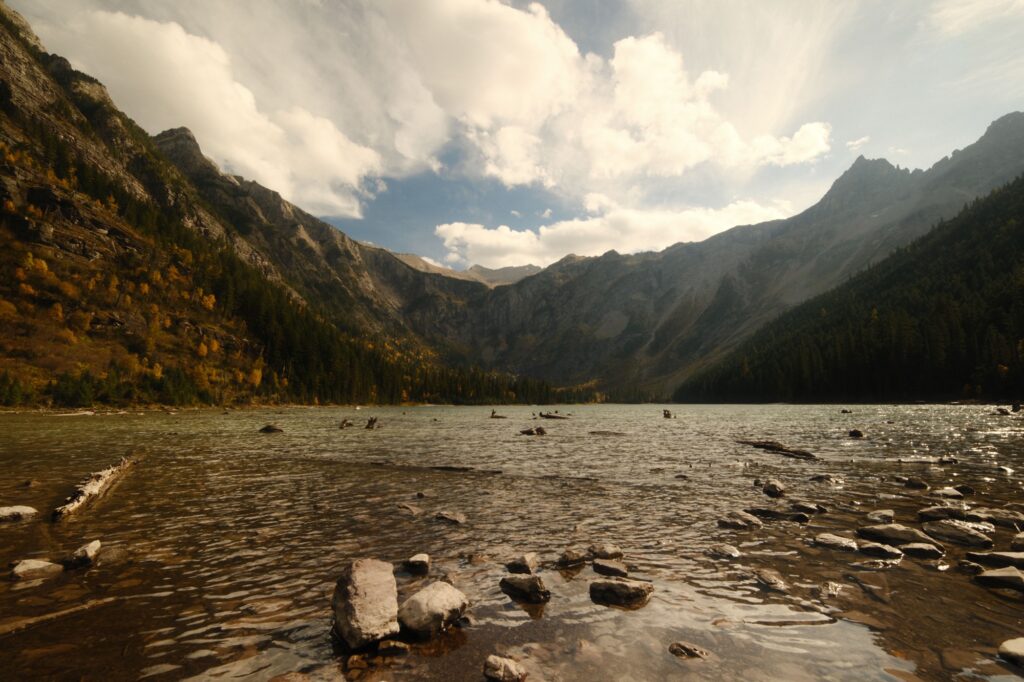
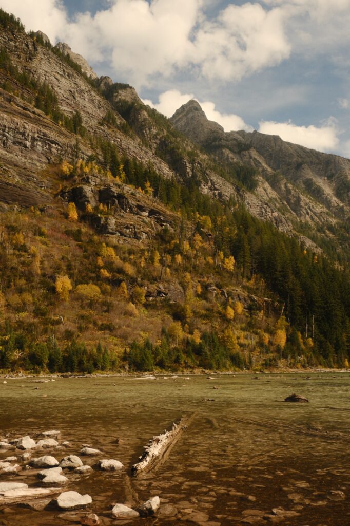
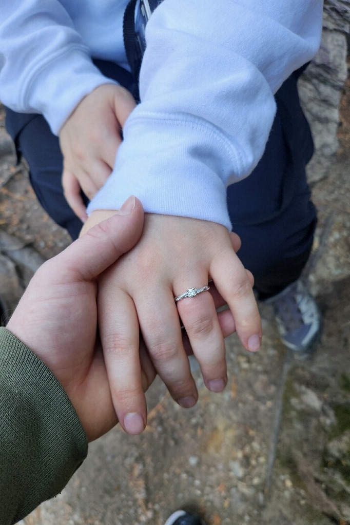
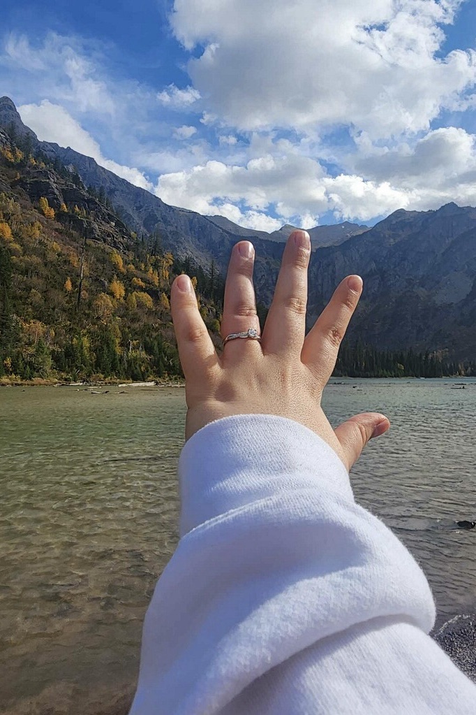
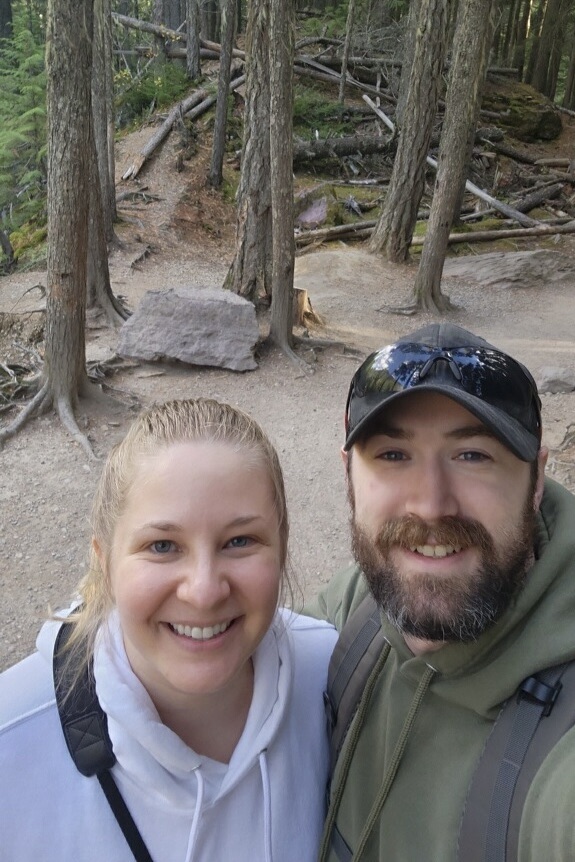
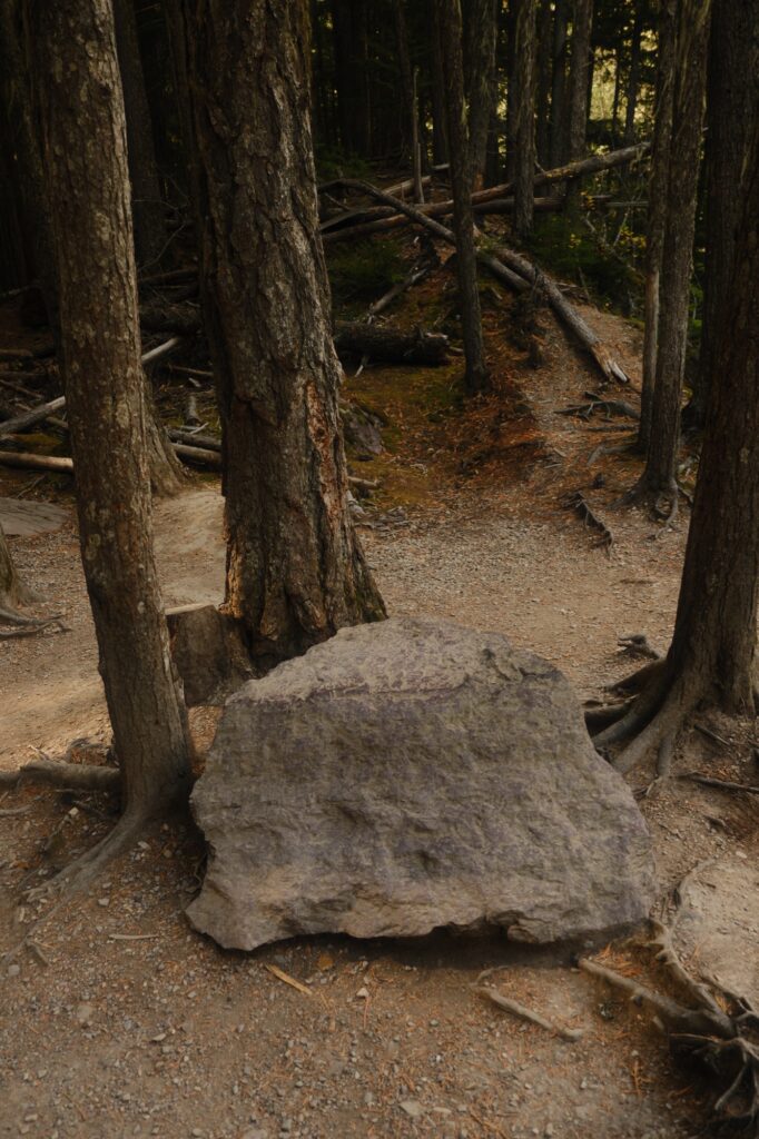
An even more exciting thing that happened on our hike…was getting engaged! Near the junction for Avalanche Lake, we stopped so that I could test out different recipes on my camera to see which one I wanted to use for the fall colors on our trip. I spent about one hour filtering through different recipes until I decided on Elderado. Near the end of my filter tests, my now fiancé knelt down in front of me while I was sitting on a rock (picture below) and said, “I don’t think that I want to do this trip as boyfriend and girlfriend.” He then proceeded to pull out the ring. I was shocked he was proposing in the middle of the hiking trail, so I said in a baffled voice, “Right here?! Right now?!…Yes!”
Fish Creek Picnic Area
Fish Creek Picnic Area
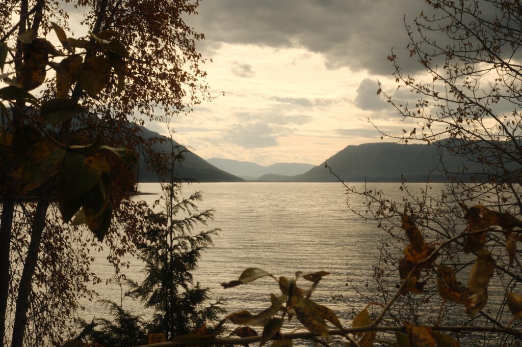
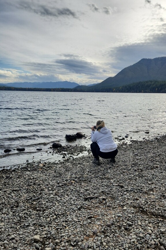
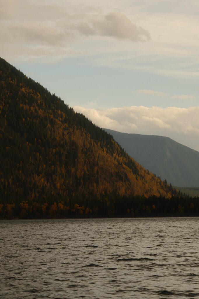
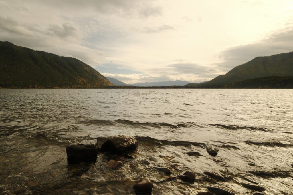
On the way to Bowman Lake we stopped at Fish Creek Picnic Area. I wanted to see Lake McDonald from a different vantage point than the popular view at Apgar Beach. I’m glad we stopped at Fish Creek because we had the entire lakeside to ourselves. It was so peaceful!
Bowman Lake
Bowman Lake
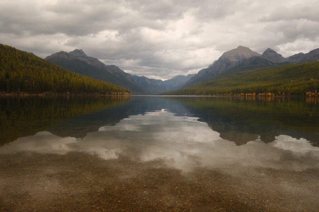
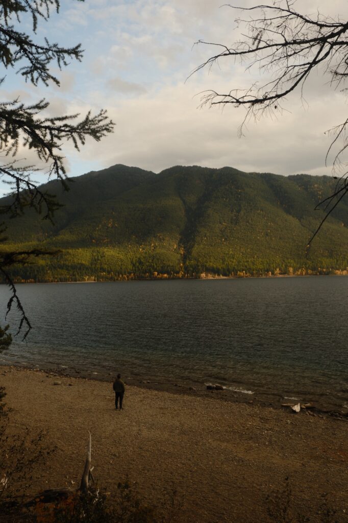
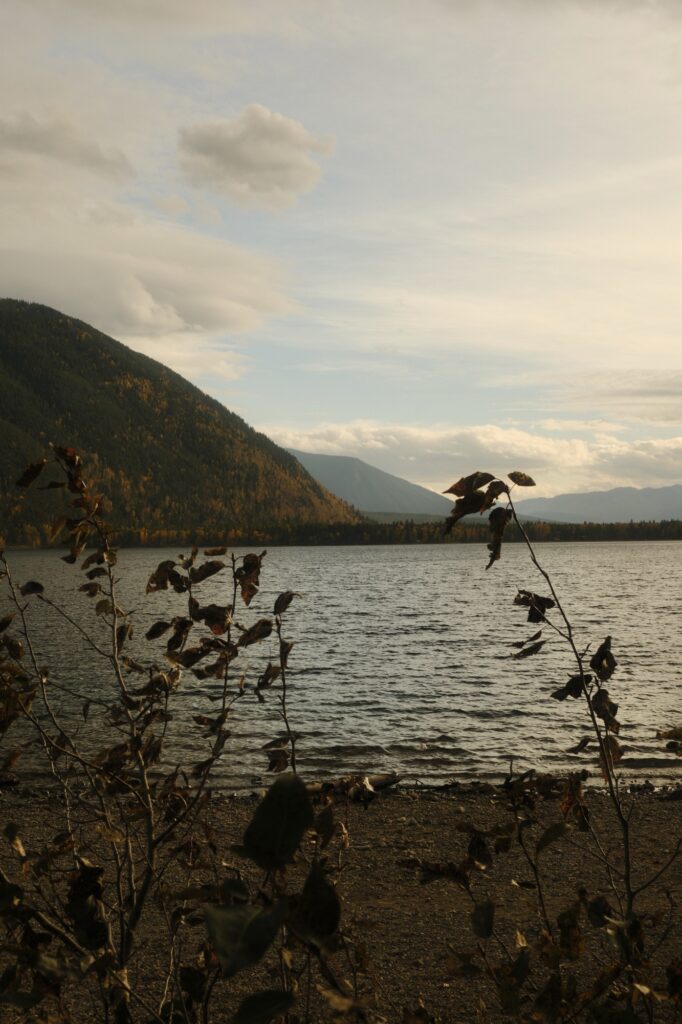
Bowman Lake lies about one hour north of Lake McDonald. It’s the third largest lake in Glacier National Park, sitting at about one mile wide and eight miles long. Bowman is one of the more rural lakes in the park, accessible via dirt roads. It’s a little out of the way to get to the lake, but it is worth it to make the trip if you have extra time. There are a couple of trails surrounding the lake as well as two campgrounds. RVs and truck and trailer combinations are not recommended to make the journey due to the conditions of Bowman Lake Road, a long, narrow, and windy dirt road.
twin
Twin Falls via North Shore Trail
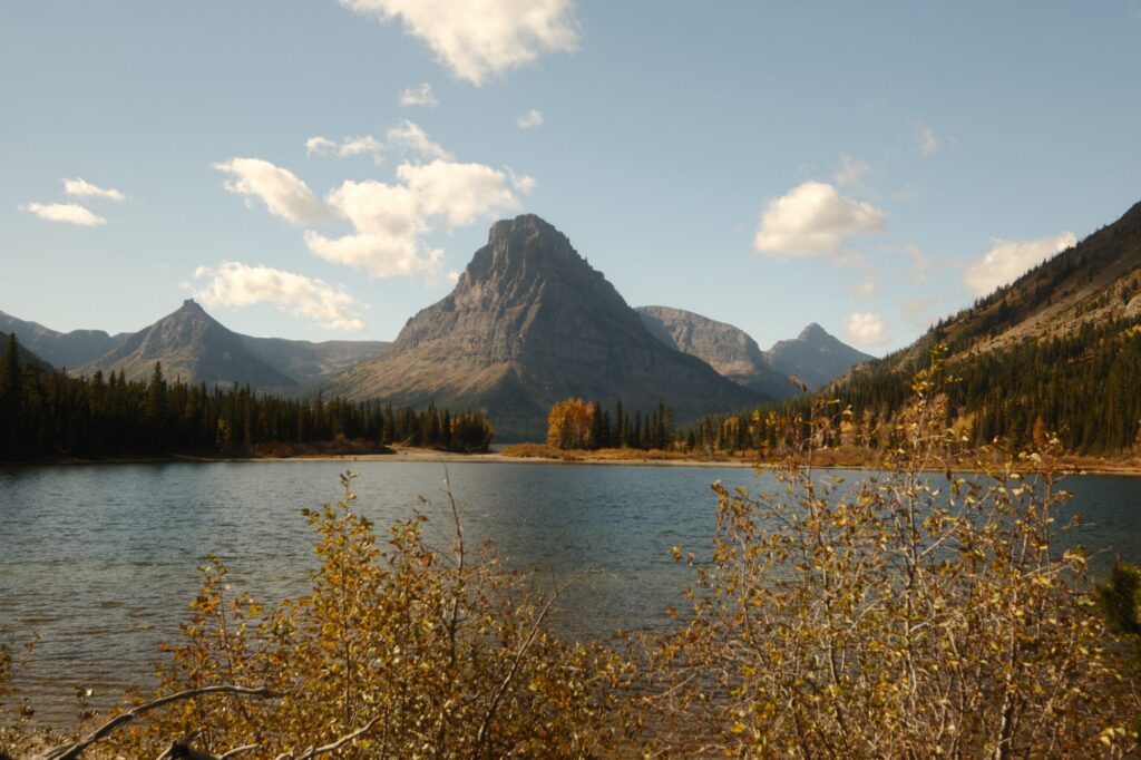
Out of the four days that we spent in Glacier National Park our day in Two Medicine area was one of my favorites. Our original plan was to hike to Upper Two Medicine Lake. We were worried about running out of daylight though, so we decided to hike to Twin Falls instead. When all of the amenities in the park are open, there is a boat that will take you to the western shore of Two Medicine Lake, significantly shortening a few hikes. But, since the Two Medicine area was closed for the season, we had to hike 7 miles roundtrip to the falls instead of 2 miles. The hike may be longer, but it’s fairly easy with very minimal elevation gain. Before starting our journey, we immediately saw a small group of bighorn sheep (or in this case, smallhorn) from the parking lot. I quickly pulled out my 55-200mm lens to get up close and personal shots of the sheep.
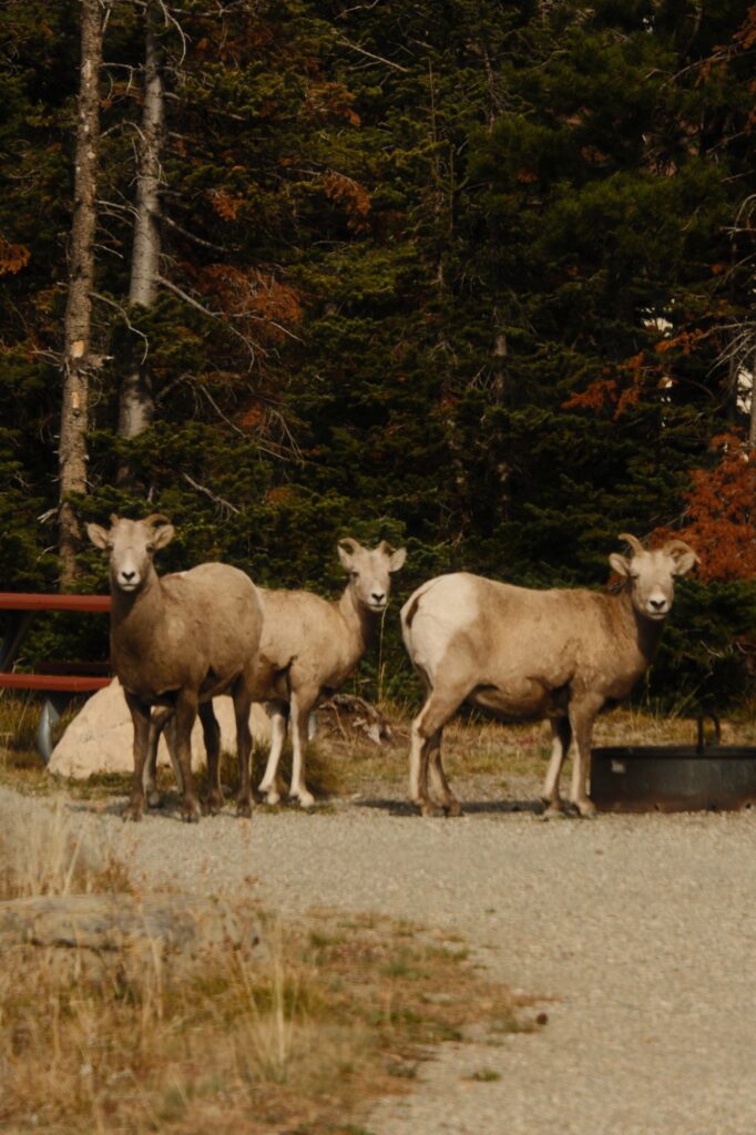
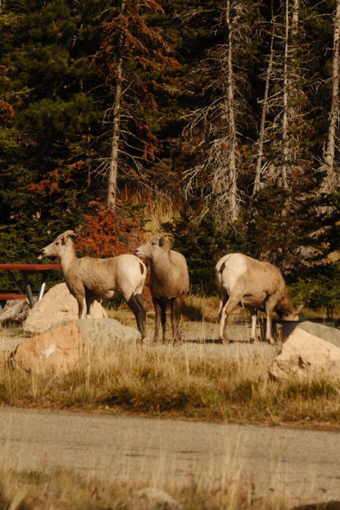
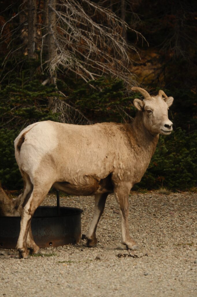
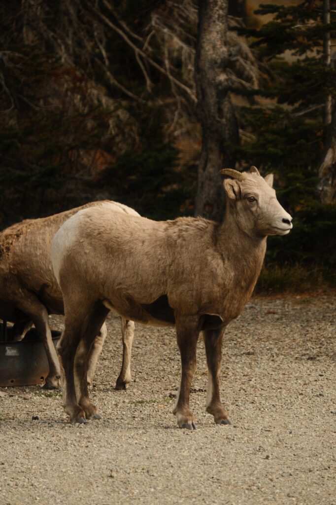
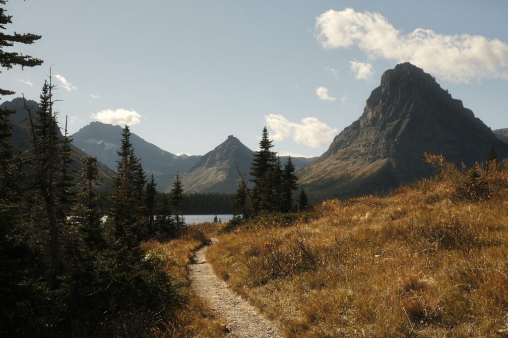
After admiring the sheep from afar, we continued on our way. North Shore Trail starts at the tip of Pray Lake, a small inlet that extends into Two Medicine Lake. You will walk across a small bridge and wind along the northern side of the lake for about 3.6 miles with minimal inclines and declines. There will be continuous gorgeous views of Two Medicine Lake and surrounding mountains. Fall colors made these views even better and we stopped a lot to capture pictures.
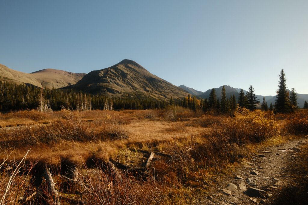
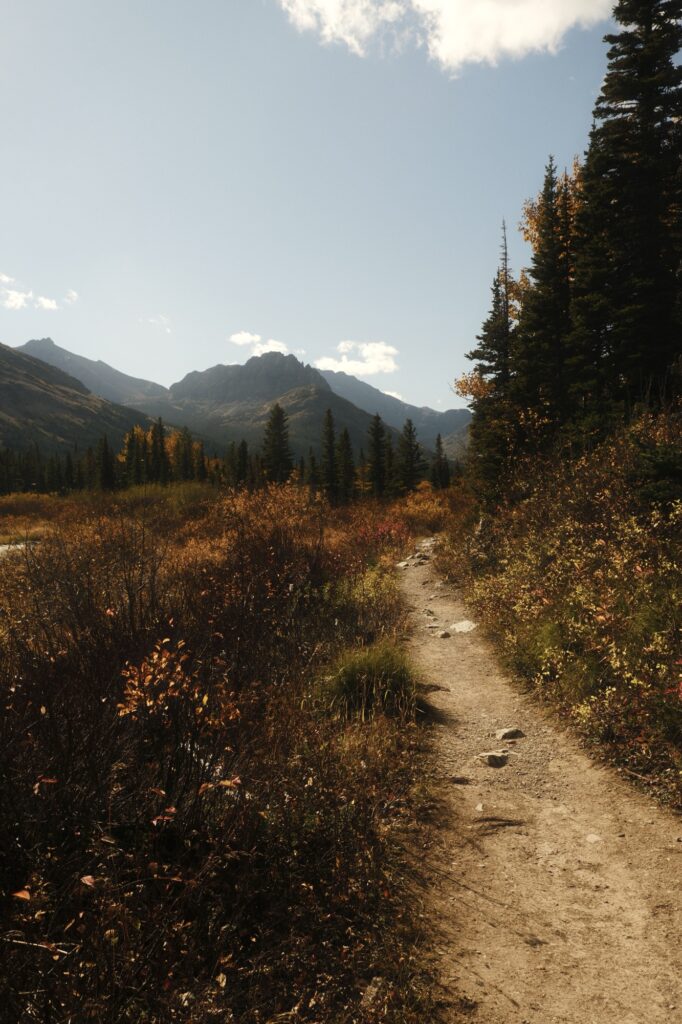
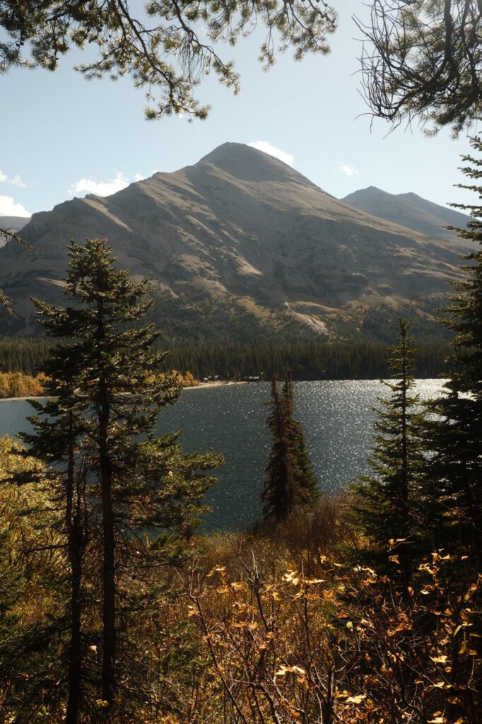
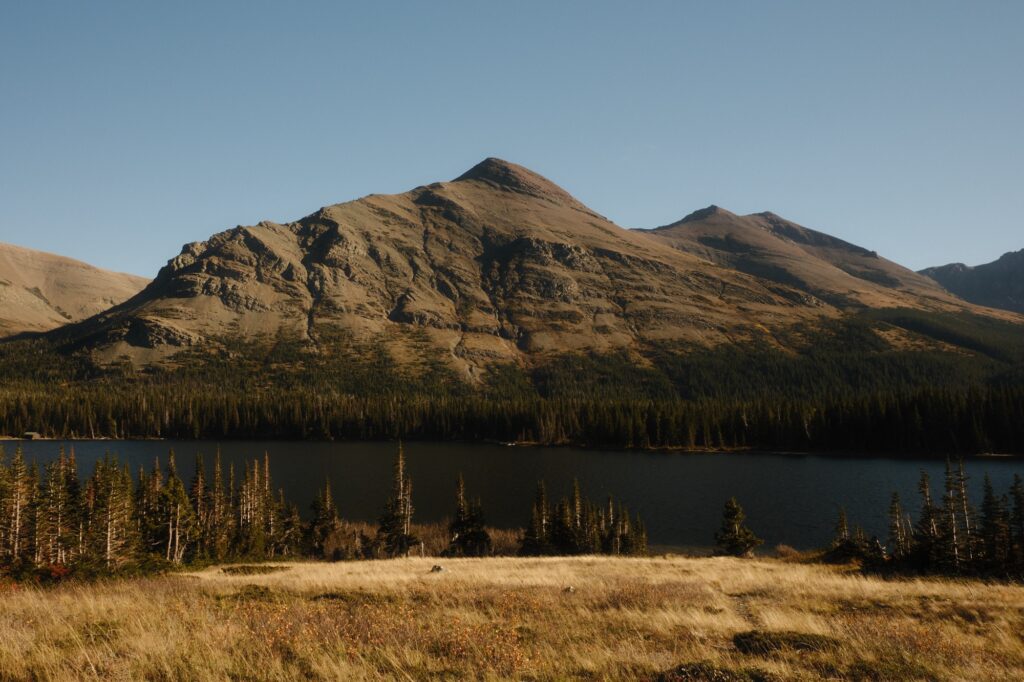
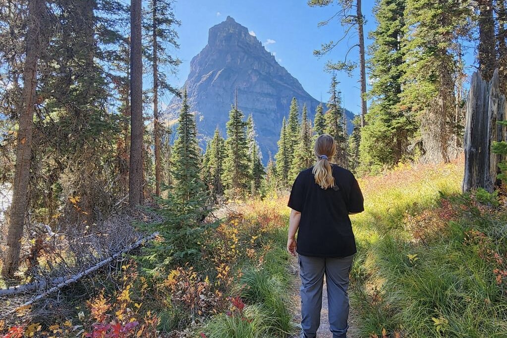
Sinopah Mountain (in the picture directly below on the right hand side of the frame) definitely stole the show for a majority of our hike to the falls. There were other mountains that had their moment too, but Sinopah was my favorite.
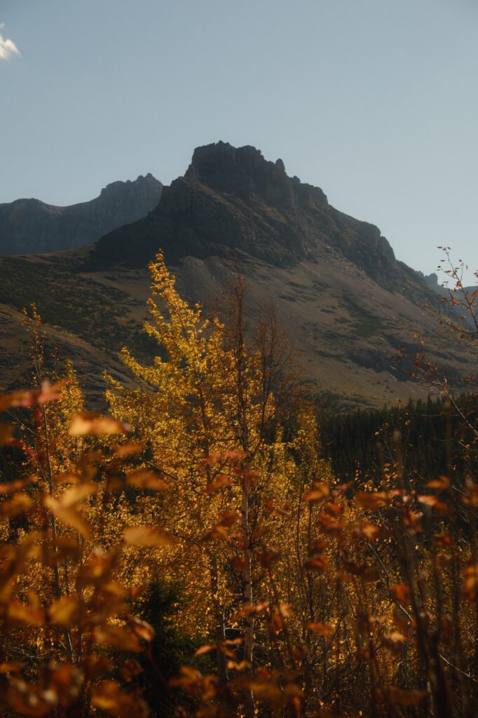
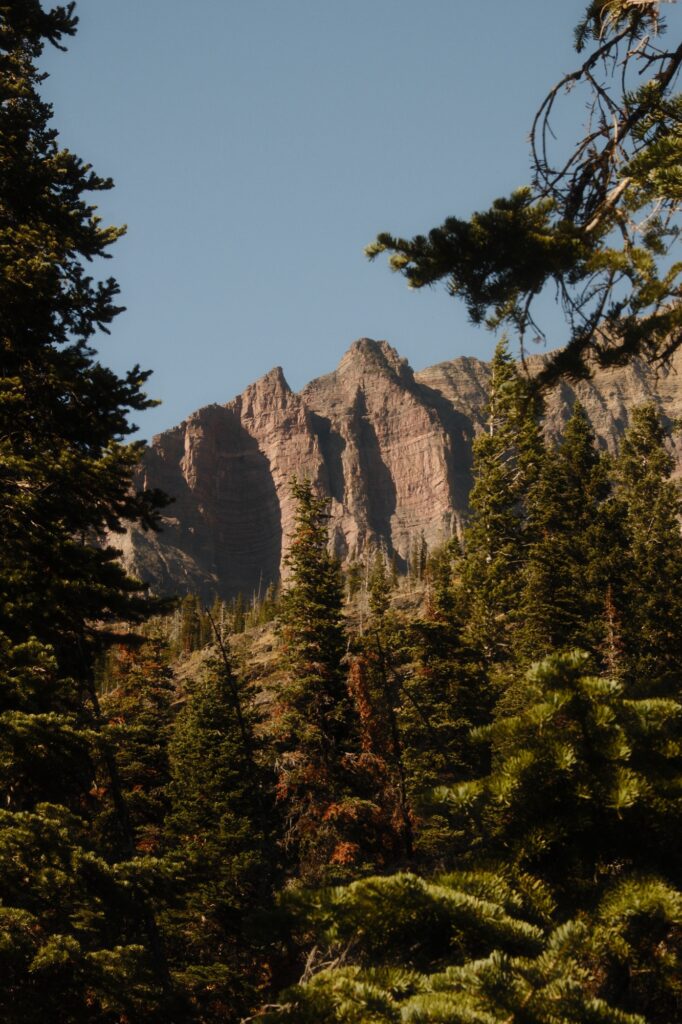
As you reach the western shore of Two Medicine Lake, the trail will start to slowly descend. Mt Helen will lie ahead of you, my second favorite mountain in this area. There was a distinct shadow line on this mountain that I had fun capturing with different focal lengths.
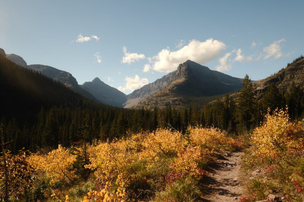
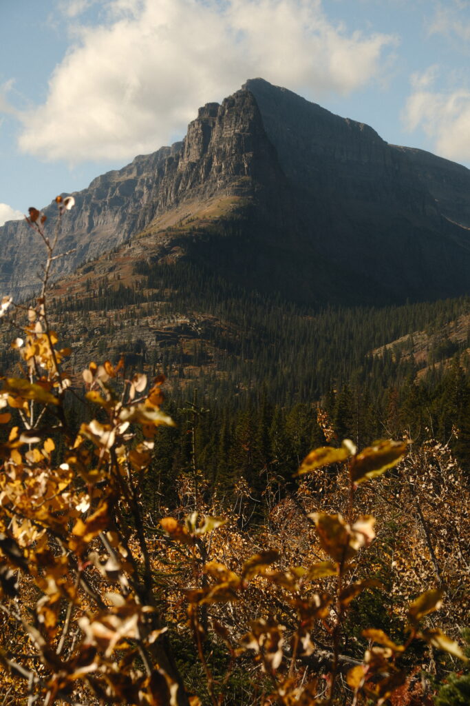
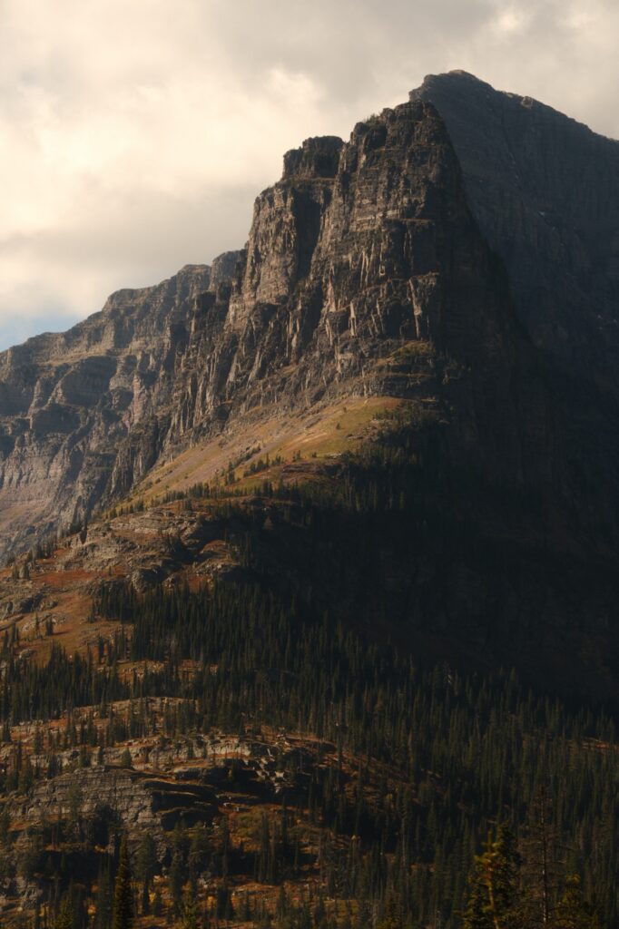
Once you reach the western tip of the lake, you will flank Mt Helen until you reach a couple of junctions in the trail. Just keep following the signs for Twin Falls, which isn’t much further away.
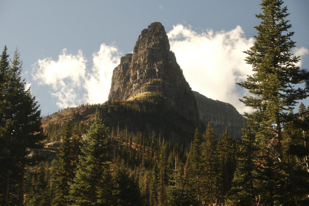
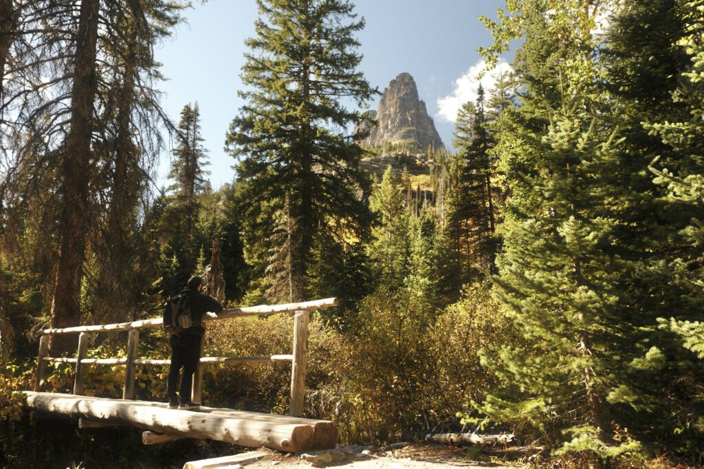
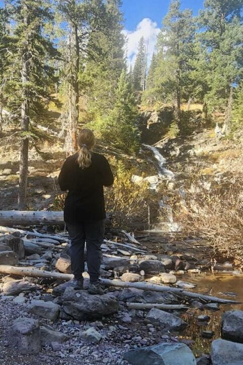
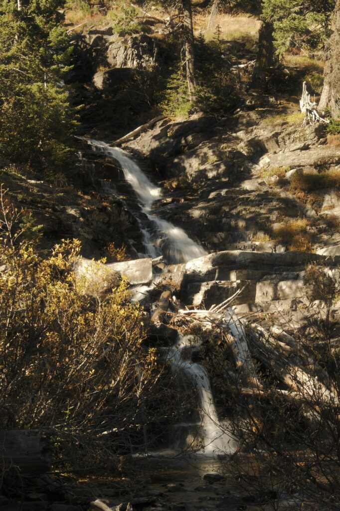
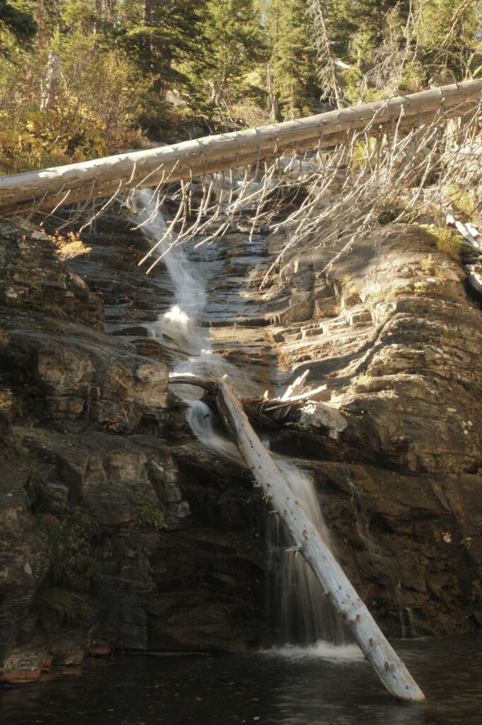
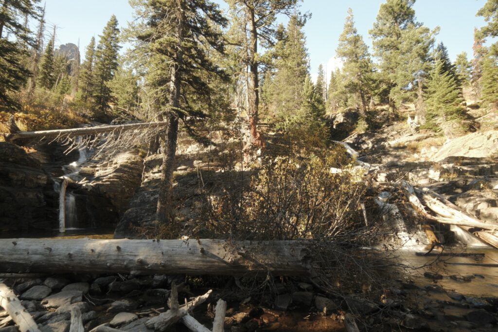
After crossing a small wooden bridge Twin Falls will be on the right-hand side. Although these aren’t the most magnificent falls I’ve ever seen, the journey to them more than made up for the awe factor. This trail was the least crowded one that we hiked on during our time in Glacier National Park, which made the hike even more serene.
Northern Lights
Northern Lights
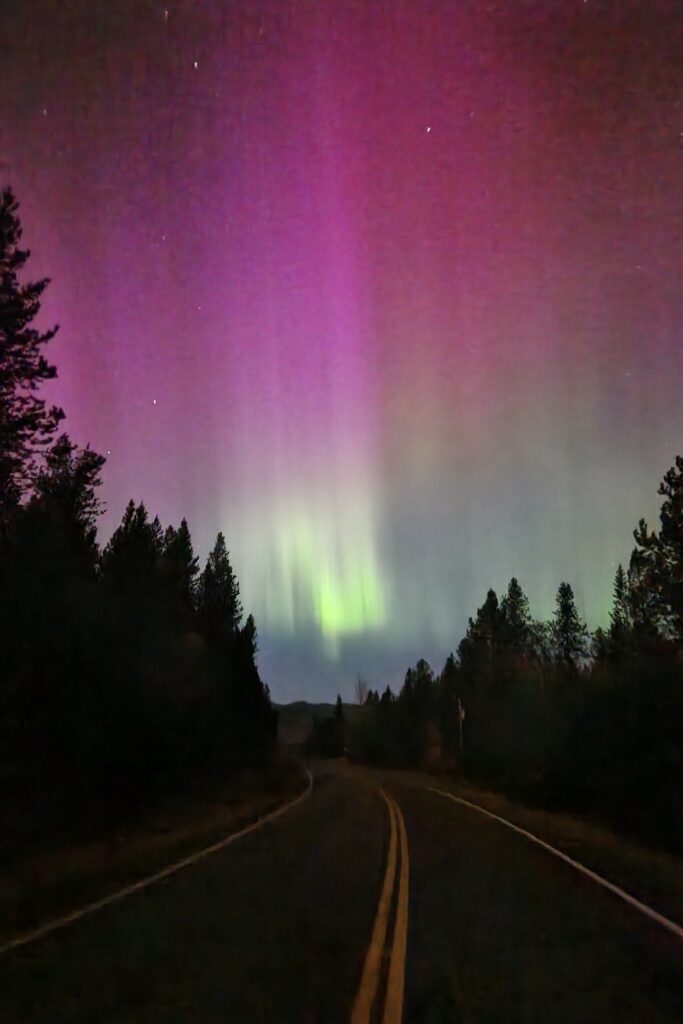
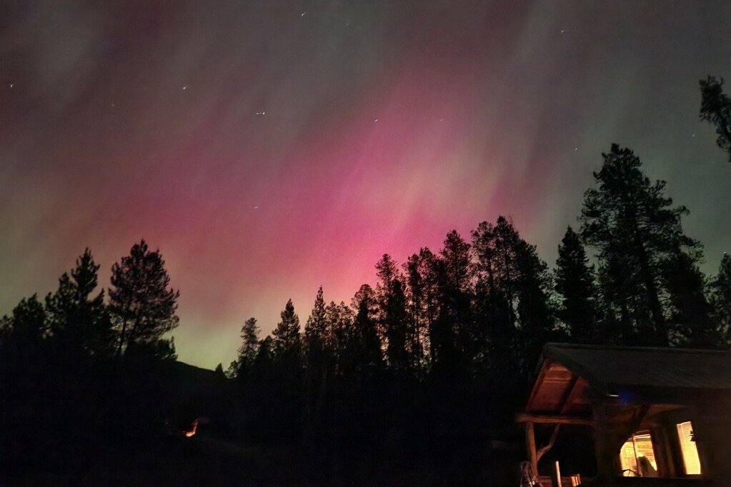
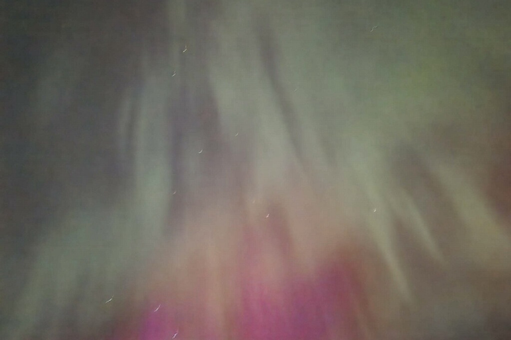
After dinner on our second night, the northern lights made an appearance. We were driving back to our Airbnb and I (slightly tipsy from a couple of huckleberry alcoholic beverages) was looking in the sky when I saw what looked like fog floating around. I watched it for a few more seconds and realized that it wasn’t fog, but was the northern lights dancing faintly. I told my fiancé, “I think the northern lights are out” and he pulled over on the road to our Airbnb. He whipped out his phone to take pictures of the sky and sure enough, they were definitely out. The longer we stood there watching them, the brighter and clearer they became. This was the first time I’d seen northern lights in person.
Going-to-the-Sun-Road
Going-to-the-Sun-Road
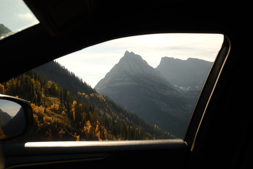
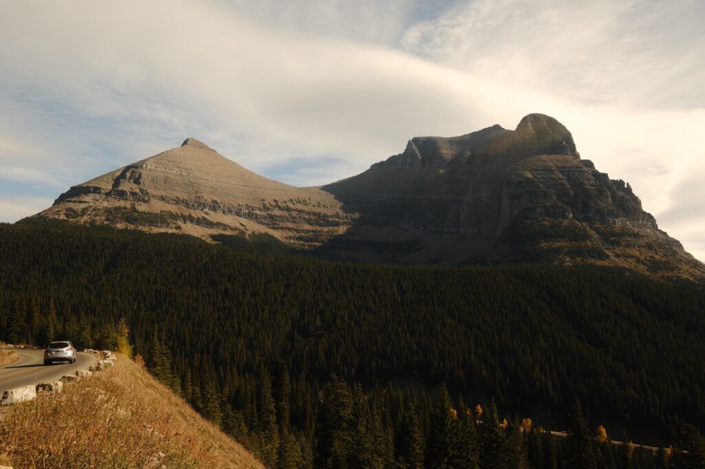
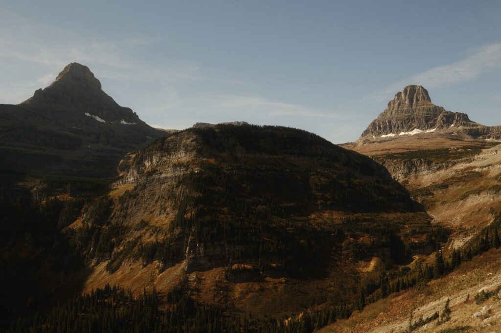
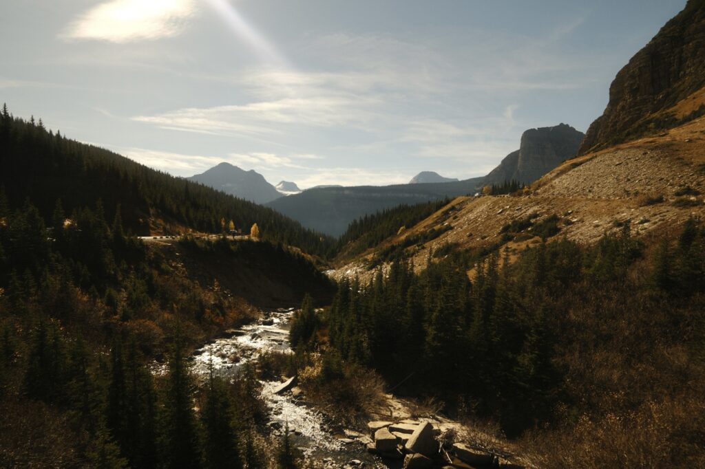
While you are visiting Glacier National Park, you HAVE to experience the breathtaking drive along Going-to-the-Sun-Road. I have been on countless roadtrips and this road is in the top 5 most scenic ones I’ve ever been on. Even if you only have a day or two in the park, this road should be at the top of your list since there is no hiking required to see it. Going-to-the-Sun-Road spans about 50 miles through Logan Pass, winding along the mountainside and climbing over 6,400 feet with steep drop-offs. Due to the hazardous nature of this road, it is only open seasonally, shutting down when there is ice or snow.
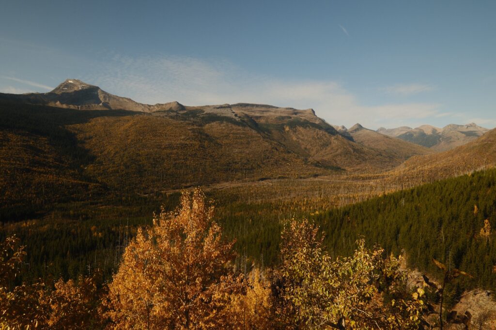
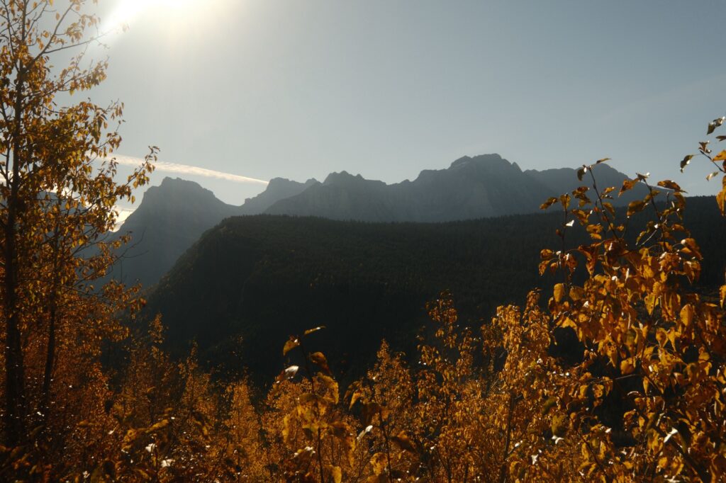
We started the drive along Going-to-the-Sun-Road from Lake McDonald and drove all the way to Many Glacier area. It took us about 2 hours to make it through the pass because we took our time, stopping at almost every single pull out to take pictures. This is one of those places where pictures don’t do what you see in real life justice.
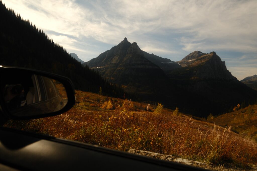
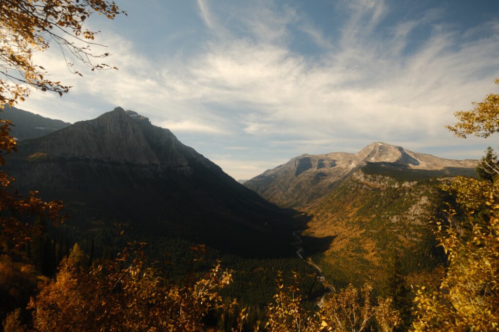
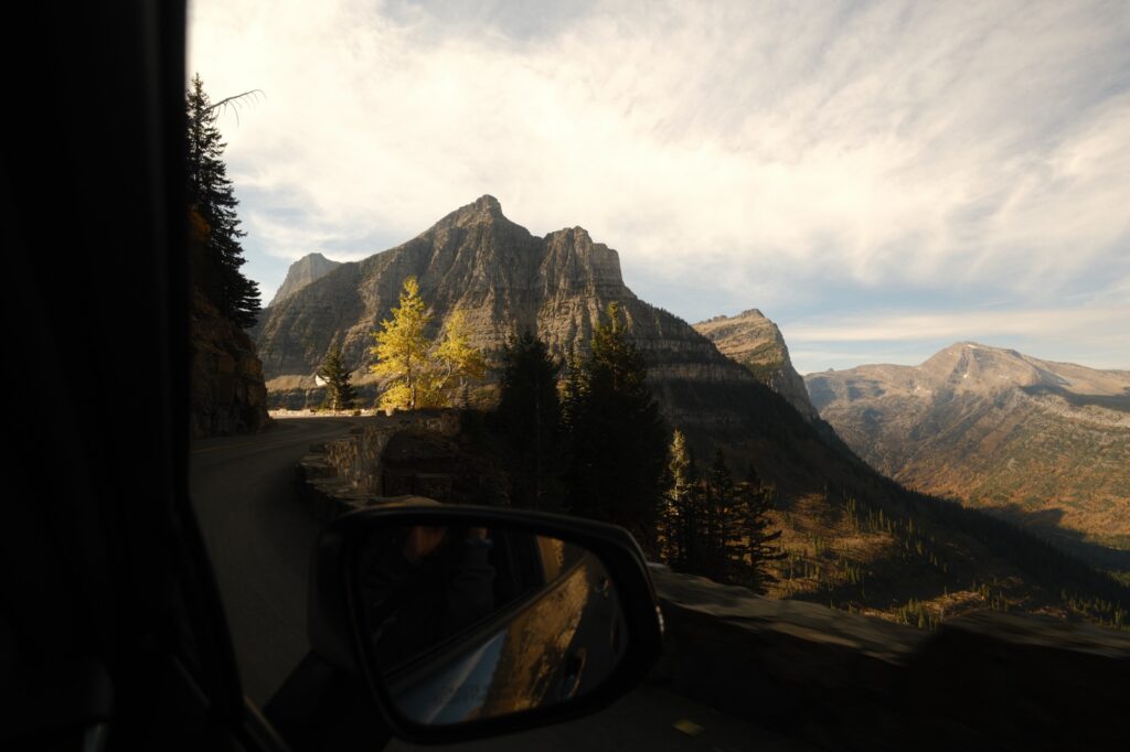
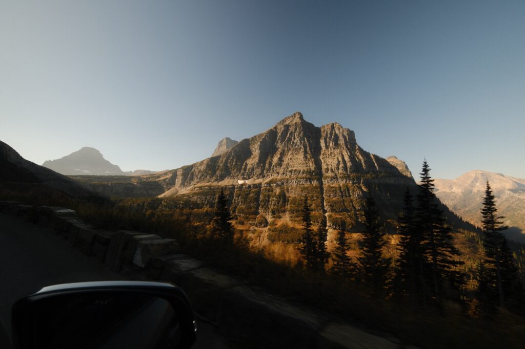
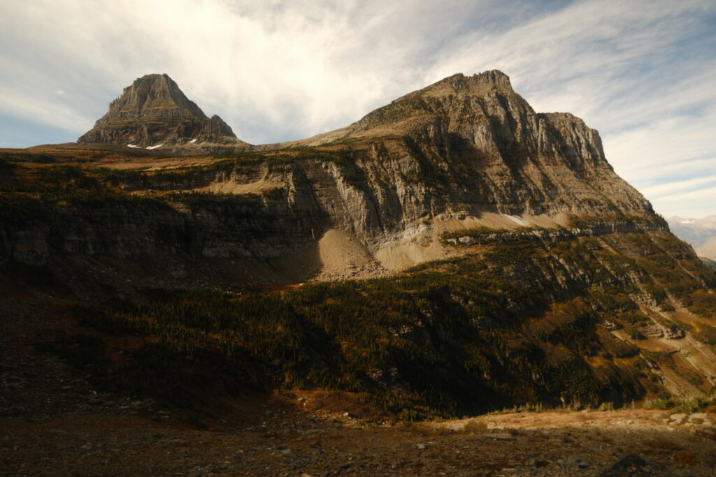
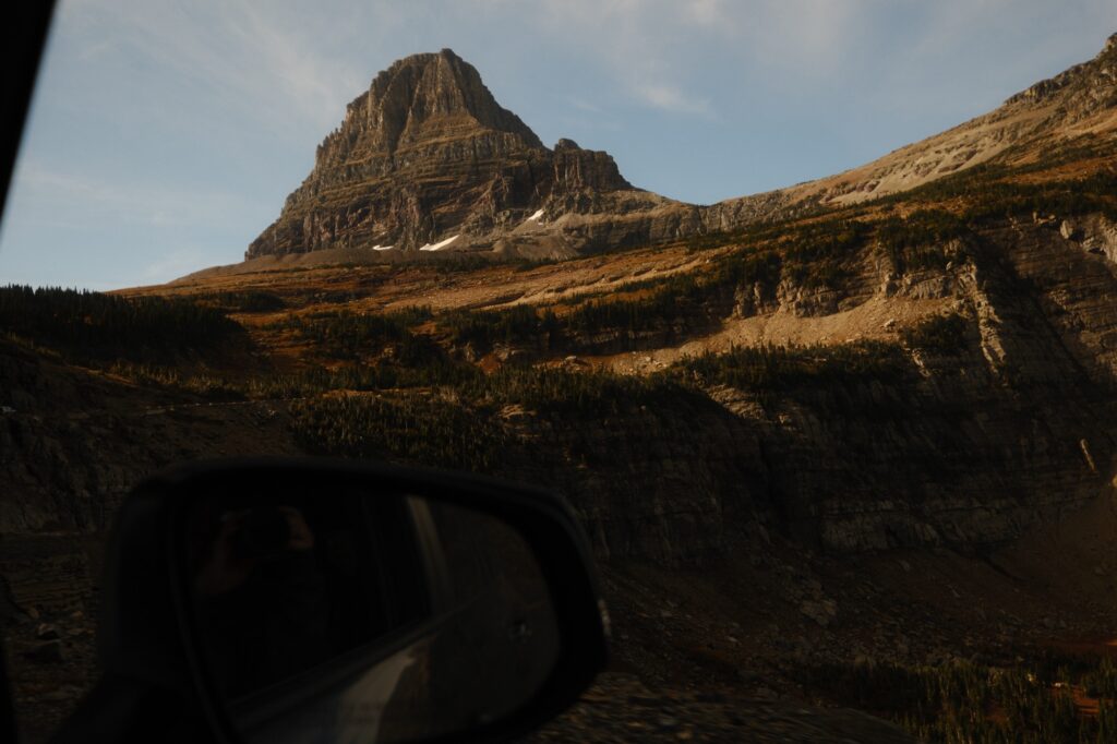
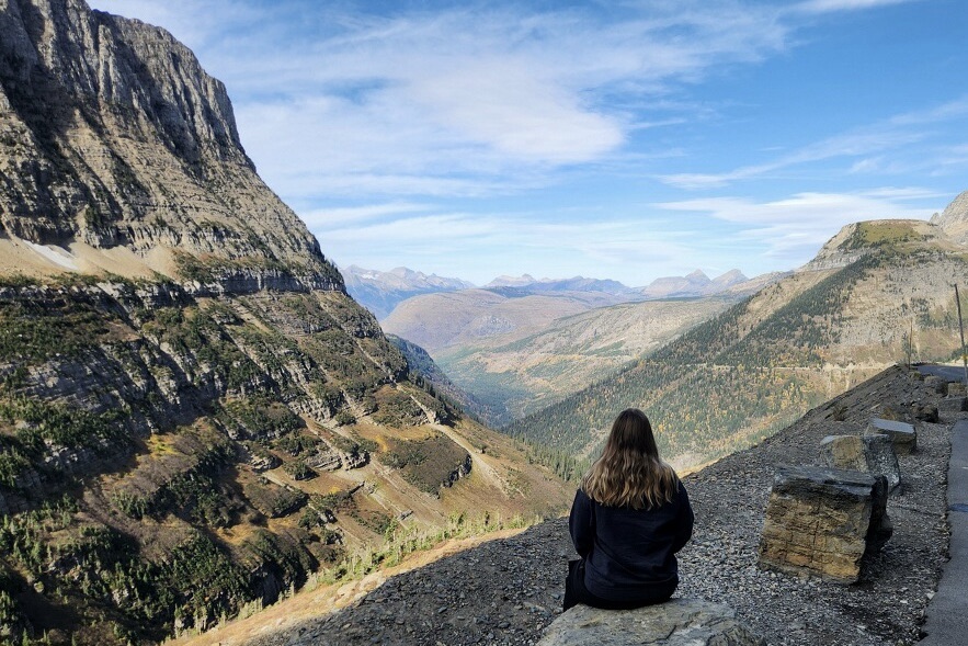
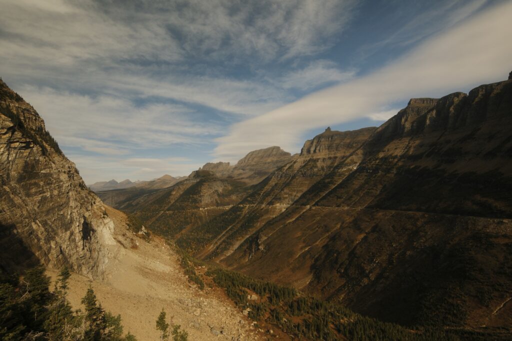
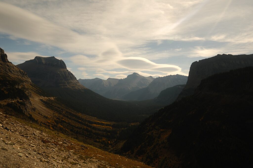
You’ll know you have reached the summit of the pass when you see Logan Pass Visitor Center. The visitor center was closed for the season, but we did come back here to hike to Hidden Lake (more on this later). Going-to-the-Sun-Road slowly declines from the visitor center and continues past St Mary Lake until it ends at the small town of St Mary.
saint mary
St Mary
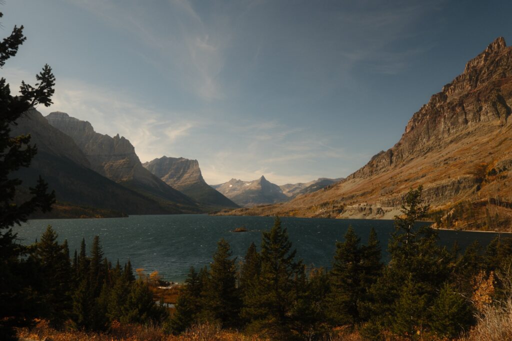
St Mary Lake is the second largest lake in Glacier National Park, spanning 10 miles. There are a lot of hiking trails near the lake, some of which lead to waterfalls. The only place that we stopped at was Wild Goose Island Lookout before continuing on our way to St Mary. There is a visitor center in St Mary, but like Logan Pass, this one was also closed for the season. We stopped to get pictures of the sprawling field across from the visitor center.
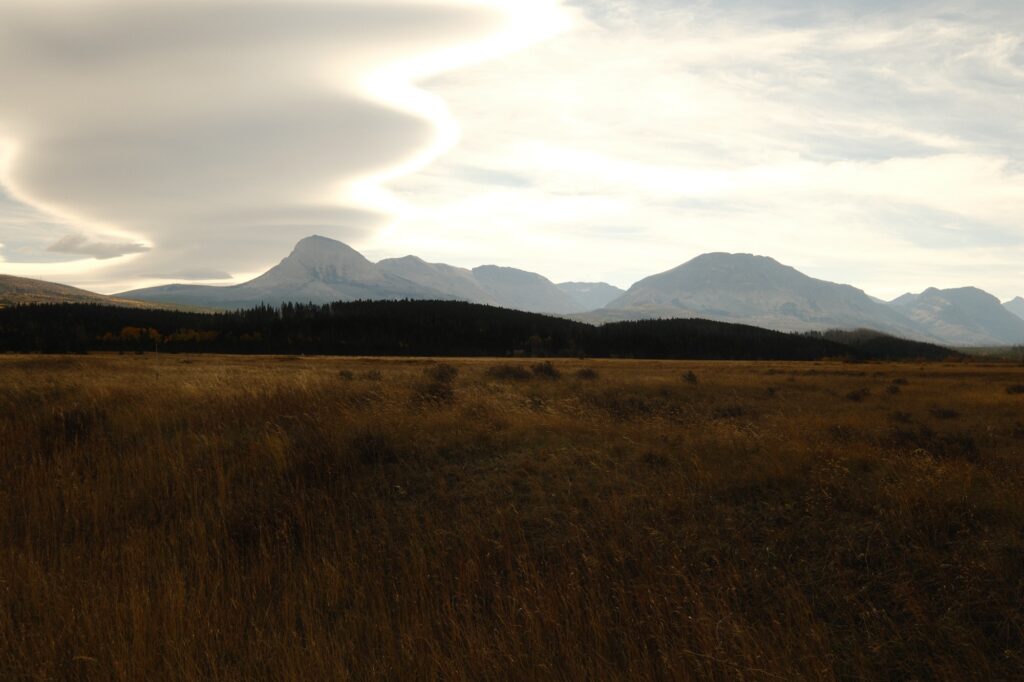
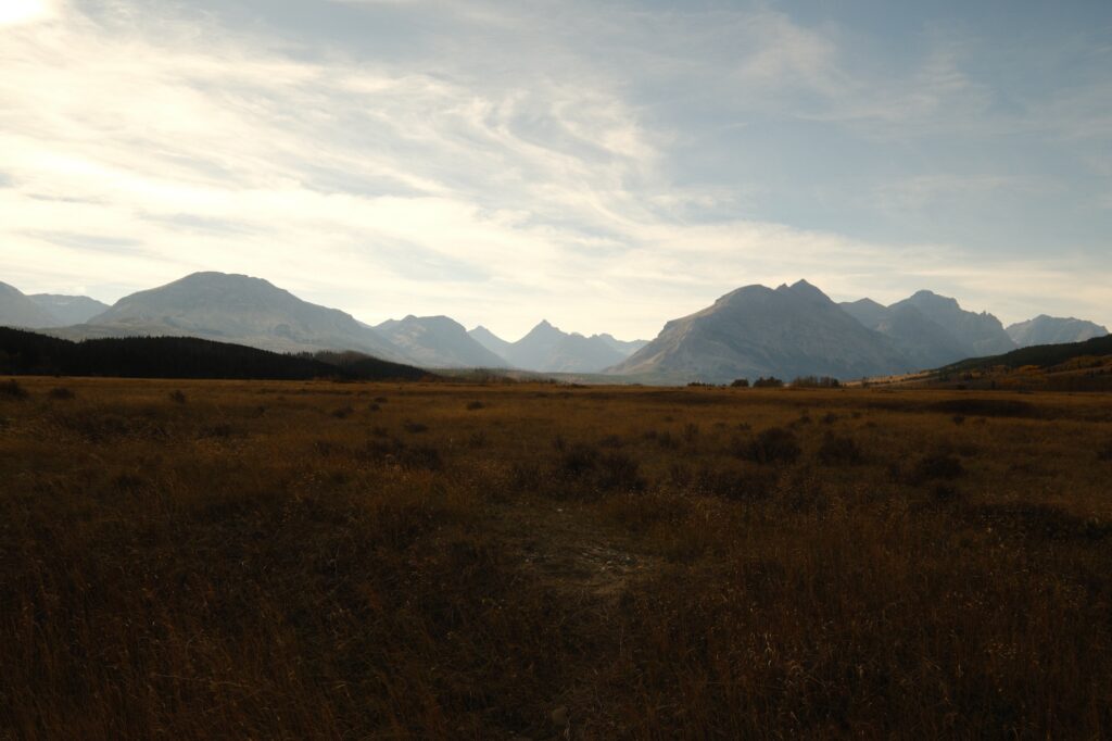
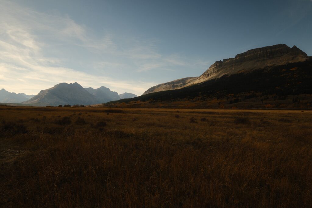
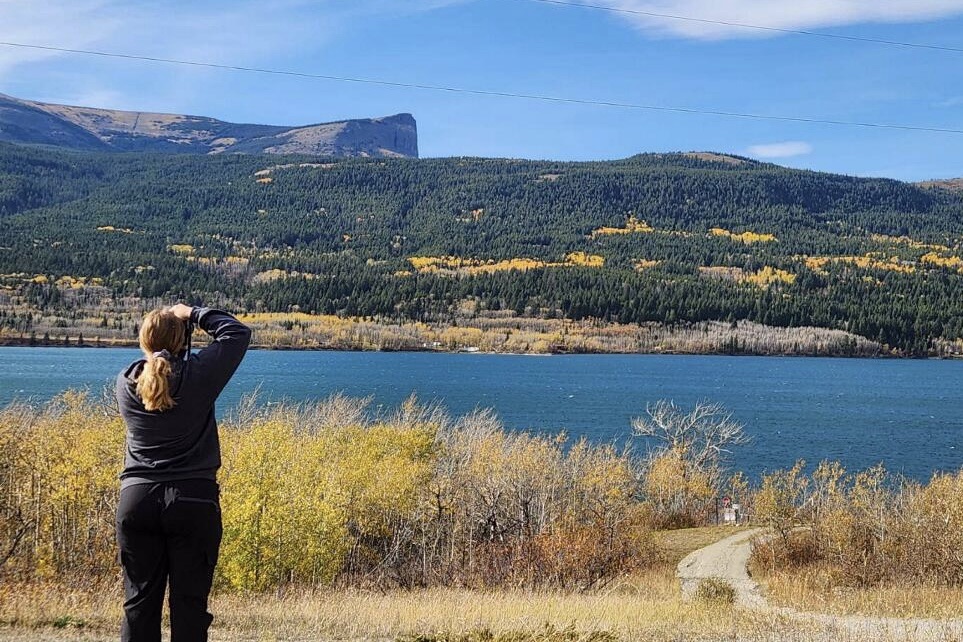
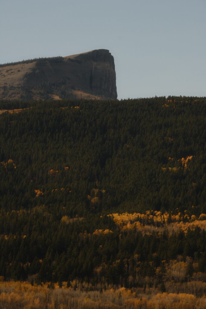
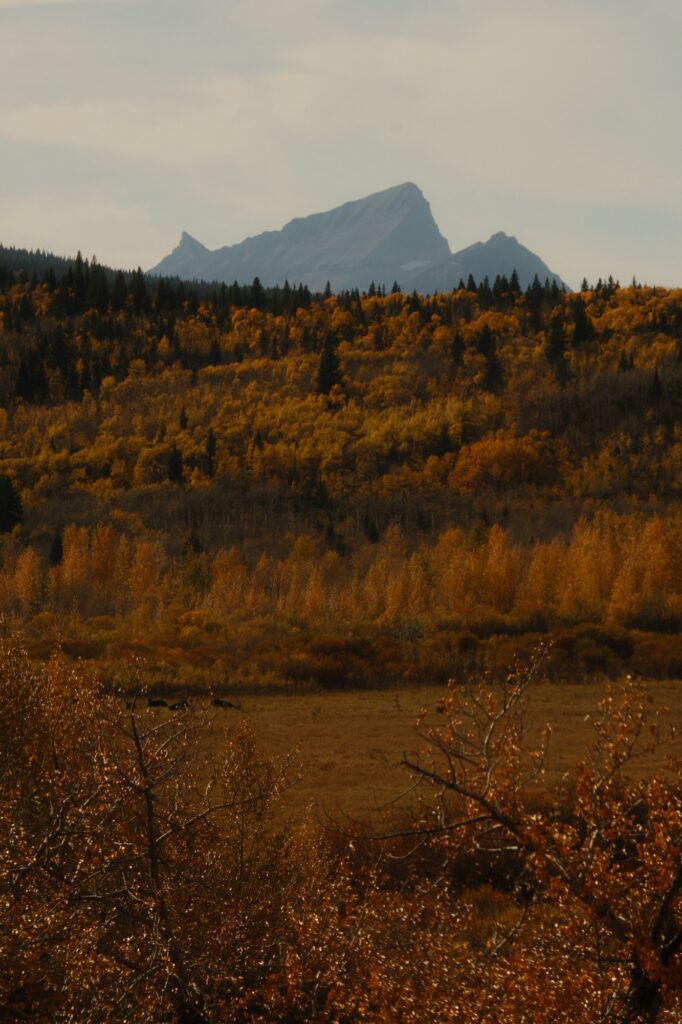
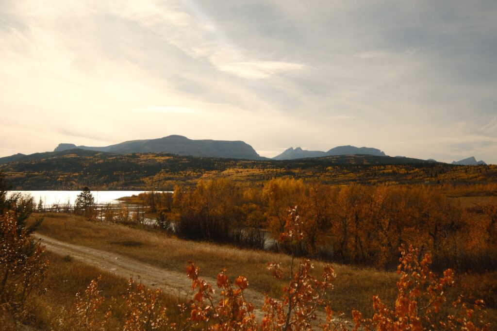
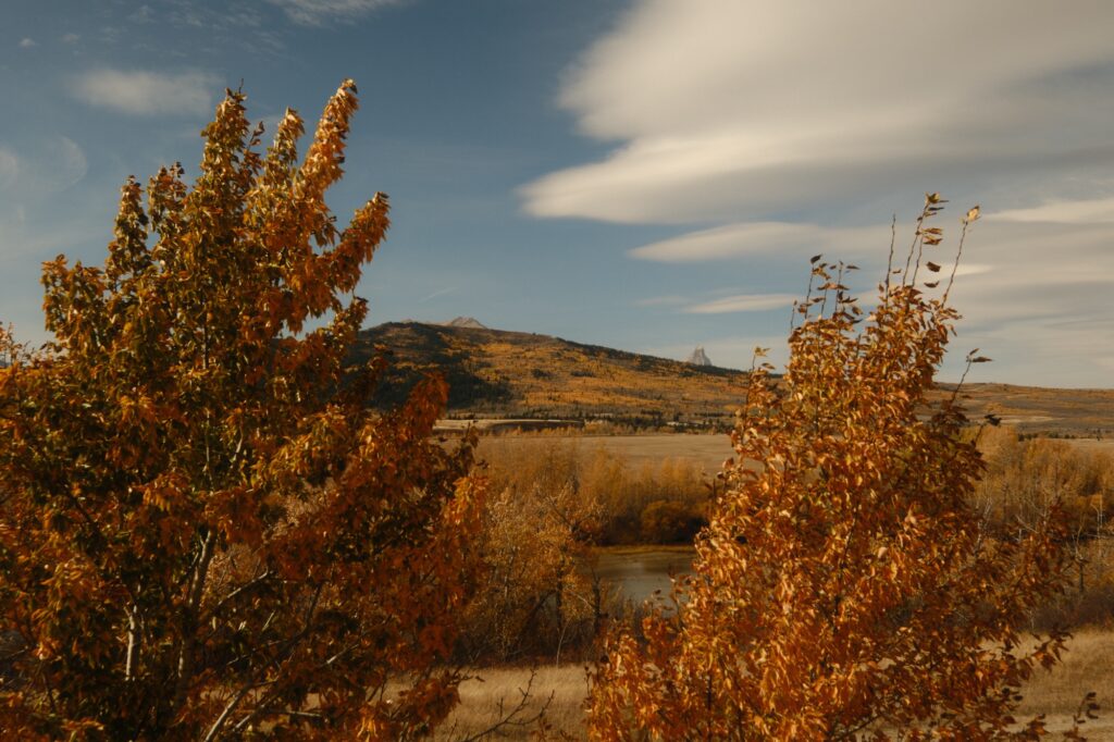
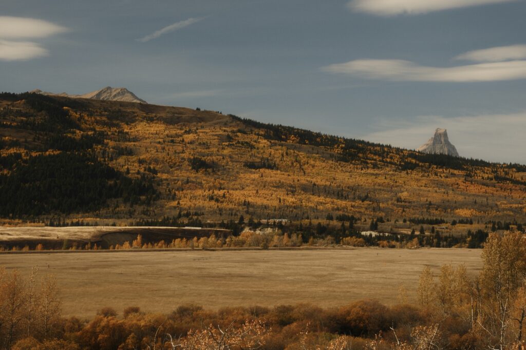
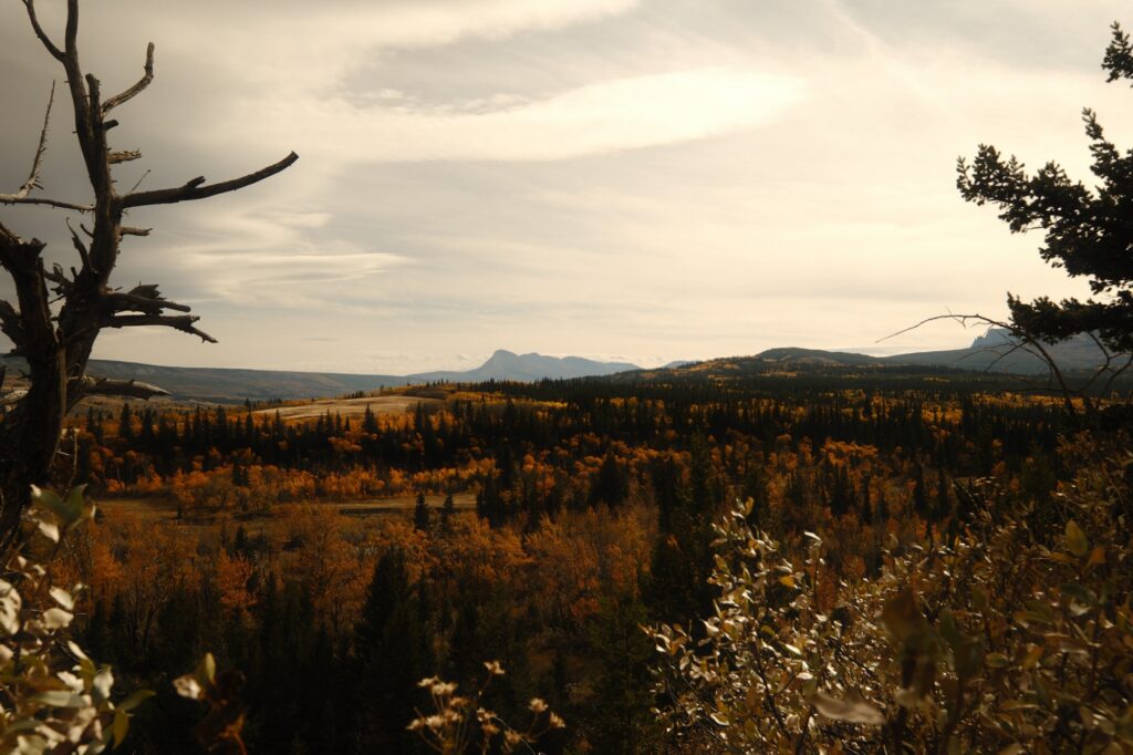
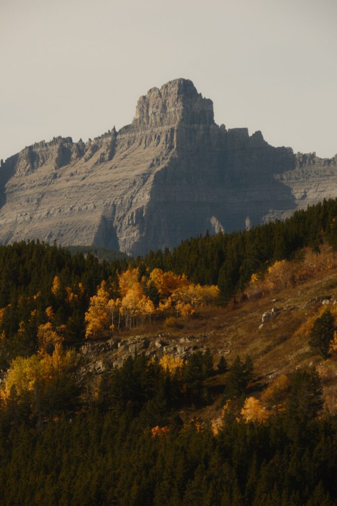
Many Glacier is about 30 minutes away from St Mary. On the way you will pass through the small town of Babb. We stopped several times on the way to Many Glacier because the fall colors in this area were unreal.
Many Glacier
Many Glacier
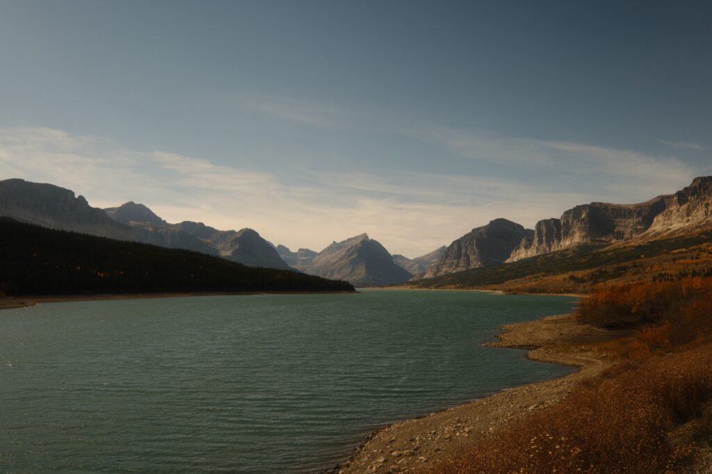
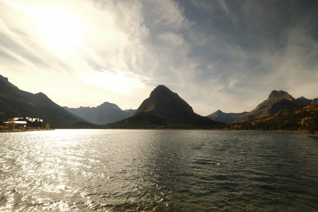
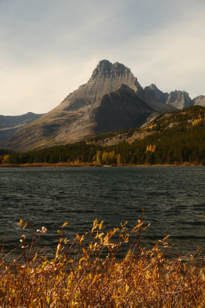
Once you make the turn off to Many Glacier from Babb, you will wind up the hillside until the road turns to dirt. Lake Sherburne will parallel you on your left as you make your way to Many Glacier. When we were a couple miles away from Many Glacier, we noticed that there were multiple vehicles stopped in the middle of the road. As we got closer, we realized that they were watching a grizzly bear on the mountainside. We immediately stopped as well to join in on the bear viewing.
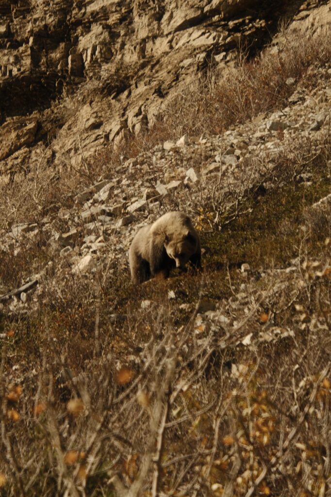
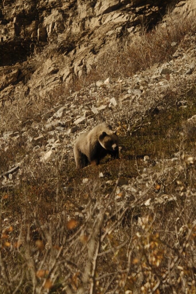
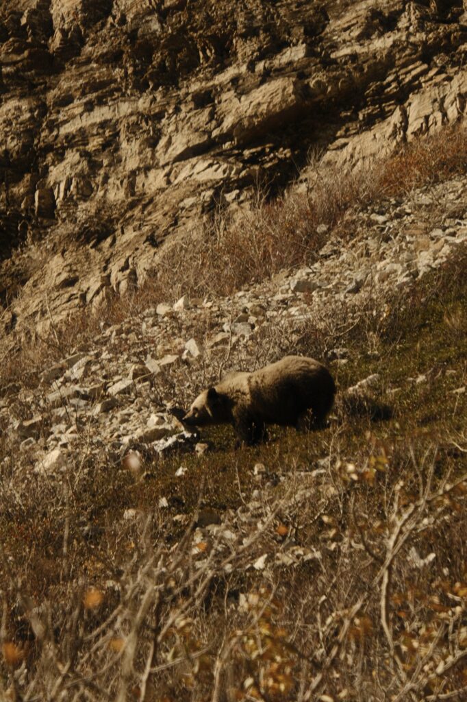
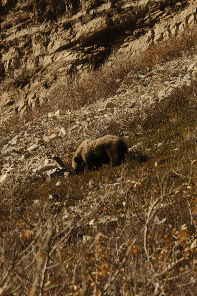
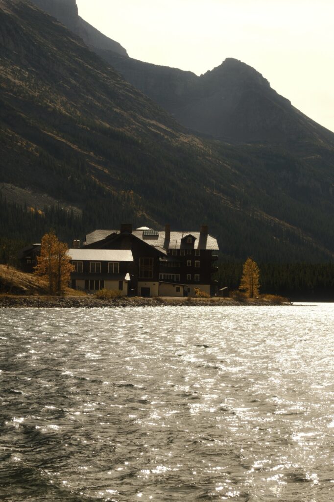
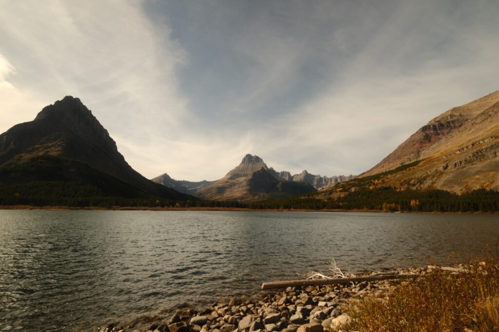
After watching the bear for a while, we drove until we reached the main area by Swiftcurrent Lake. We were met with more closures in this area. The road that continues beyond Swiftcurrent Lake was closed as well as the Many Glacier Hotel. This area is the base for many fantastic hiking trails, both short and long. We opted out of hiking since we spent so much time on Going-to-the-Sun-Road and still had the return drive back to our Airbnb. But, we did walk along Swiftcurrent Lake’s shore in front of the hotel to soak in surrounding scenery before calling it a day.
Hidden Lake Trailhead
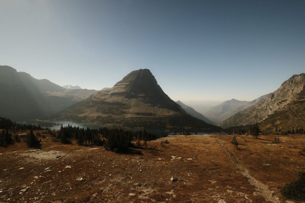
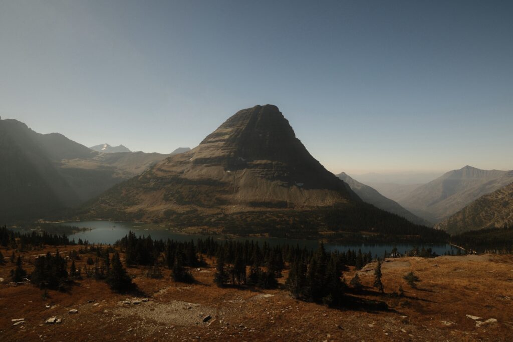
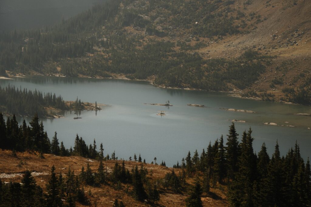
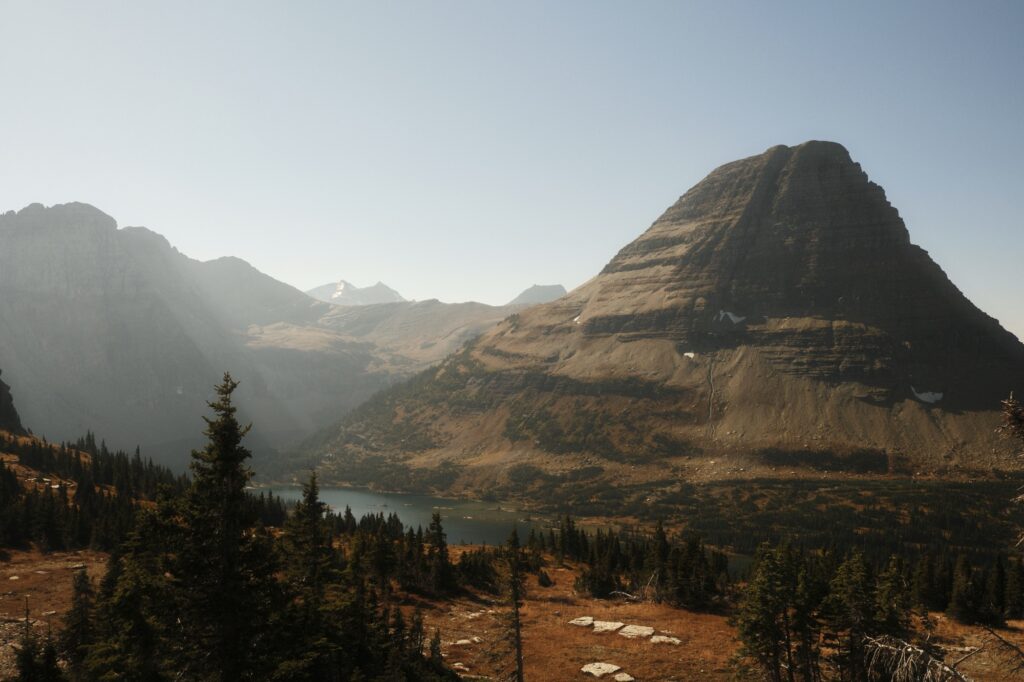
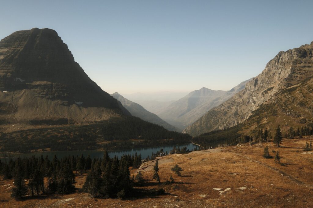
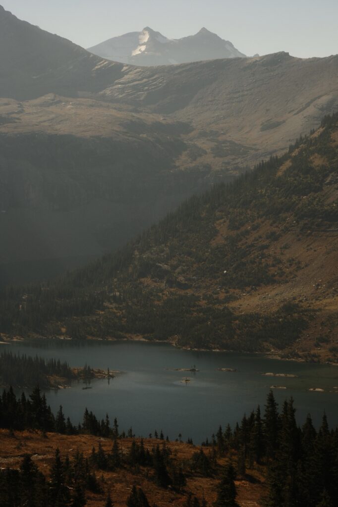
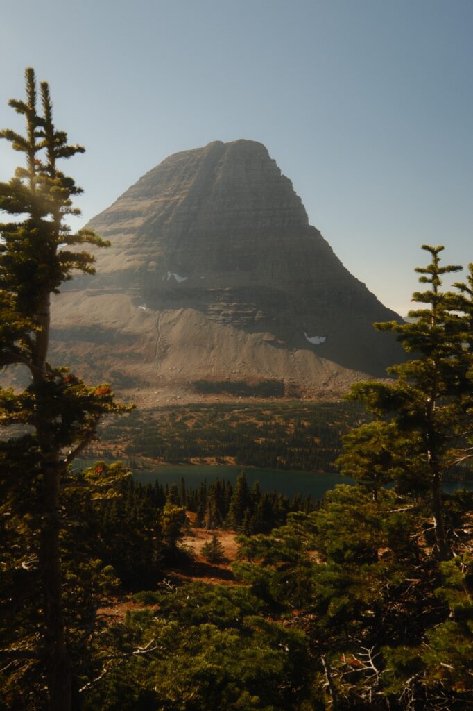
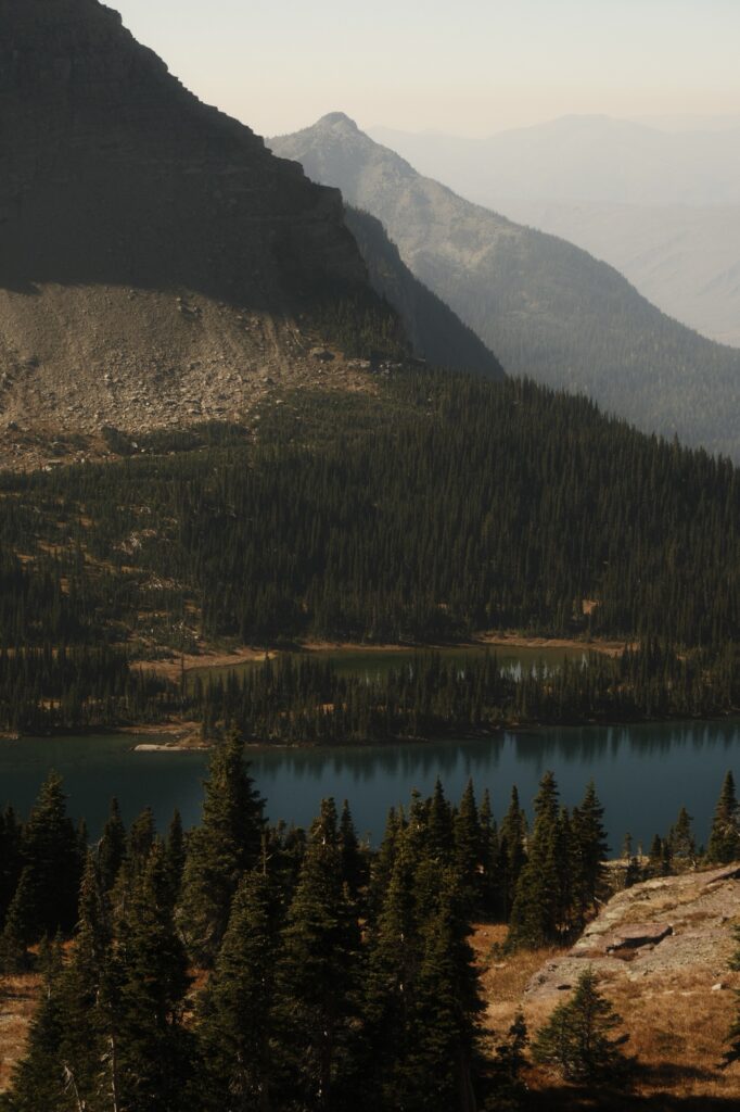
On our final day in Glacier National Park, we made our way back through Logan Pass to Hidden Lake. The hike to Hidden Lake is 5.4 miles roundtrip with an elevation gain of 1,325 feet. The elevation gain is this much because in order to reach the lake’s shore, you have to descend downhill. If you are wanting a less brutal hike, then you can stop at the Hidden Lake Overlook like we did. The hike to the overlook is only 2.7 miles roundtrip with a more forgiving elevation gain of 540 feet.
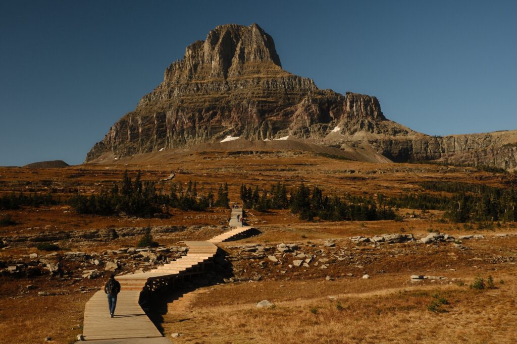
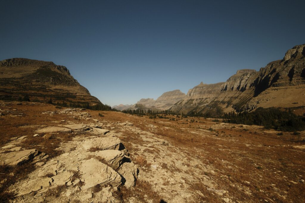
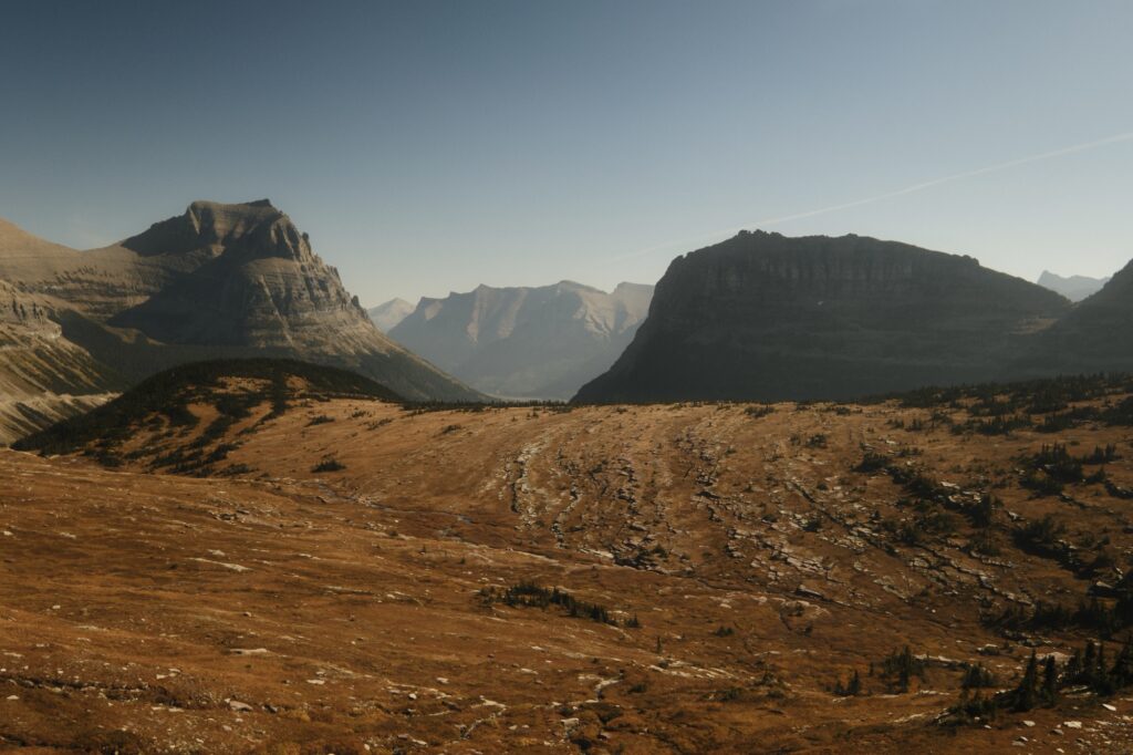
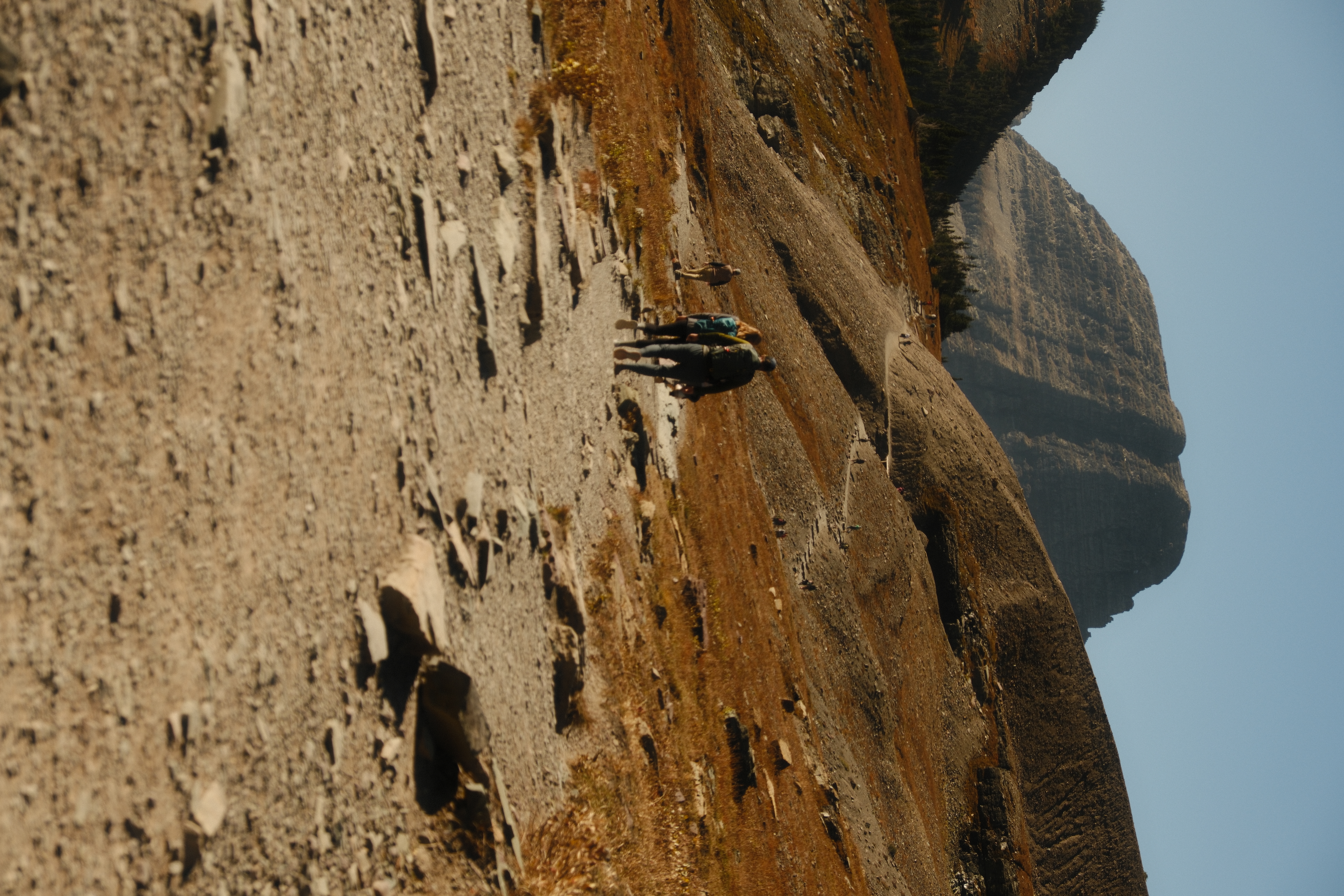
You will have sweeping views of the surrounding section of Logan Pass as you climb the boardwalk uphill. This area is gorgeous, and the boardwalk makes the uphill ascent slightly easier. Once you near the top of the hill though, the boardwalk gives way to a normal dirt trail.
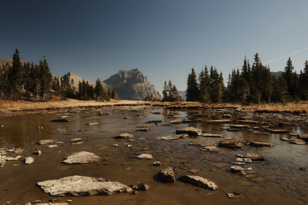
After winding up the hillside you will reach a shallow pool of water. We walked around the pool and caught our breath before continuing to the lake.
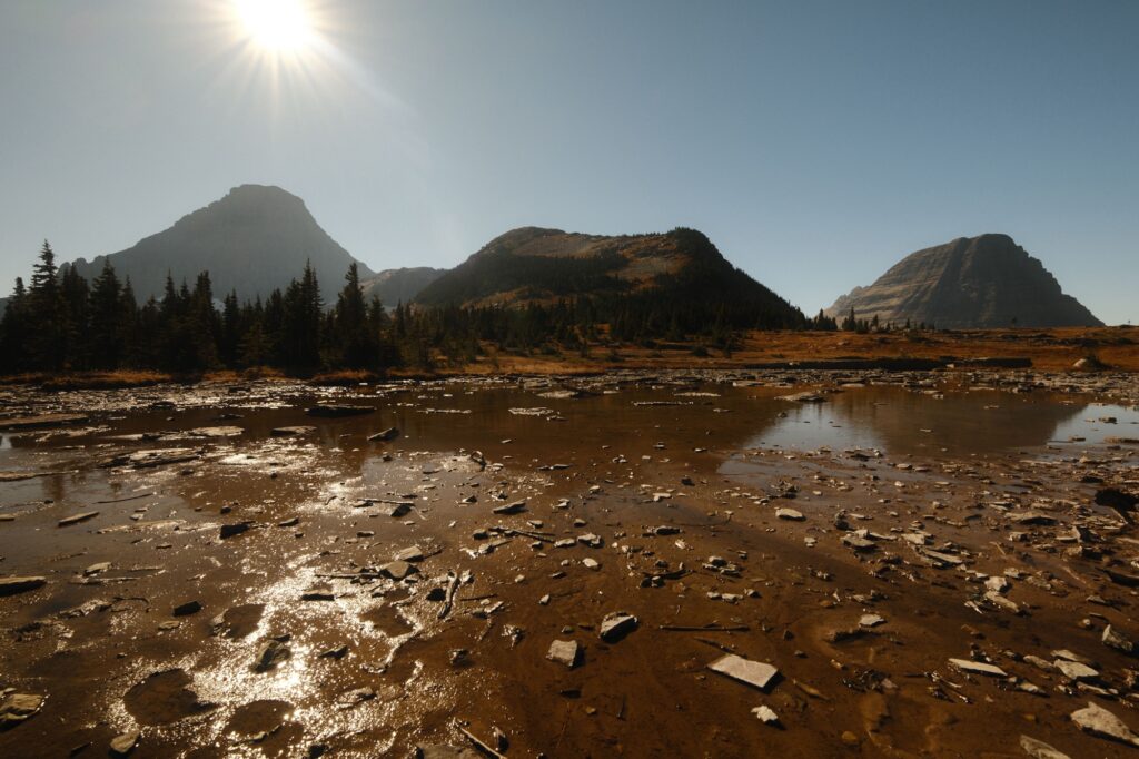
Hidden Lake Overlook and the trail down to the lake isn’t much further from the pool. Once you get to the overlook you can peer down at the lake and decide if you want to make the descent or not. We decided that the views from the overlook were good enough and admired our surroundings while we ate a few snacks.
Apgar Visitor Center & Beach on Lake McDonald
Apgar Visitor Center & Beach on Lake McDonald
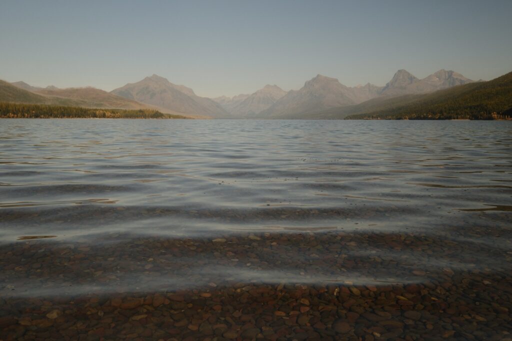
The conclusion of our last day and the grand finale of our trip was at Apgar Visitor Center and Apgar Beach. The visitor center was extremely small and underwhelming, but I was able to get a cute shirt from the gift shop. The beach is a short walk and or a short drive from the visitor center. While this beach is one of the most popular ones in Glacier National Park, it was fairly empty when we went. There are a few shops and restaurants across from the main parking lot at the beach.
I haven’t been to many national parks, but Glacier National Park was truly a sight to behold. While everything wasn’t open when we went, I am glad we went during fall because we were met with breathtaking fall colors and less crowds. This trip will always hold a special place in my heart. Fall colors, northern lights, endless mountains and lakes to see, and an engagement, what more could a girl ask for?
Note for the reader: I share these locations so that others can see beautiful places and enjoy nature as much as I do. Please be respectful of the outdoors and what condition it is in when you visit. Don’t go off trail, leave no trace, and pack out what you came in with.
