Dog Mountain
One of the most popular hikes in the gorge is Dog Mountain. During busier periods, you have to apply for a permit to hike this trial on the weekends. I hiked this trail on a weekday, so I didn’t have to worry about getting a permit. I did have to pay $5 to park at the trailhead though. This hike is roughly 6 miles round-trip depending on which route you take. There are three different routes: the easier one, the harder one, and Augspurger loop. A map of these three different routes and a little more information about the trail can be found here. I chose to go up the harder, steep Old Trail. Once I reached Puppy Dog viewpoint, I did the one mile loop around the top of Dog Mountain. I then made my decent on the easier Scenic Trail side. Bring extra layers as the weather can be drastically different at the top of the mountain than the bottom.
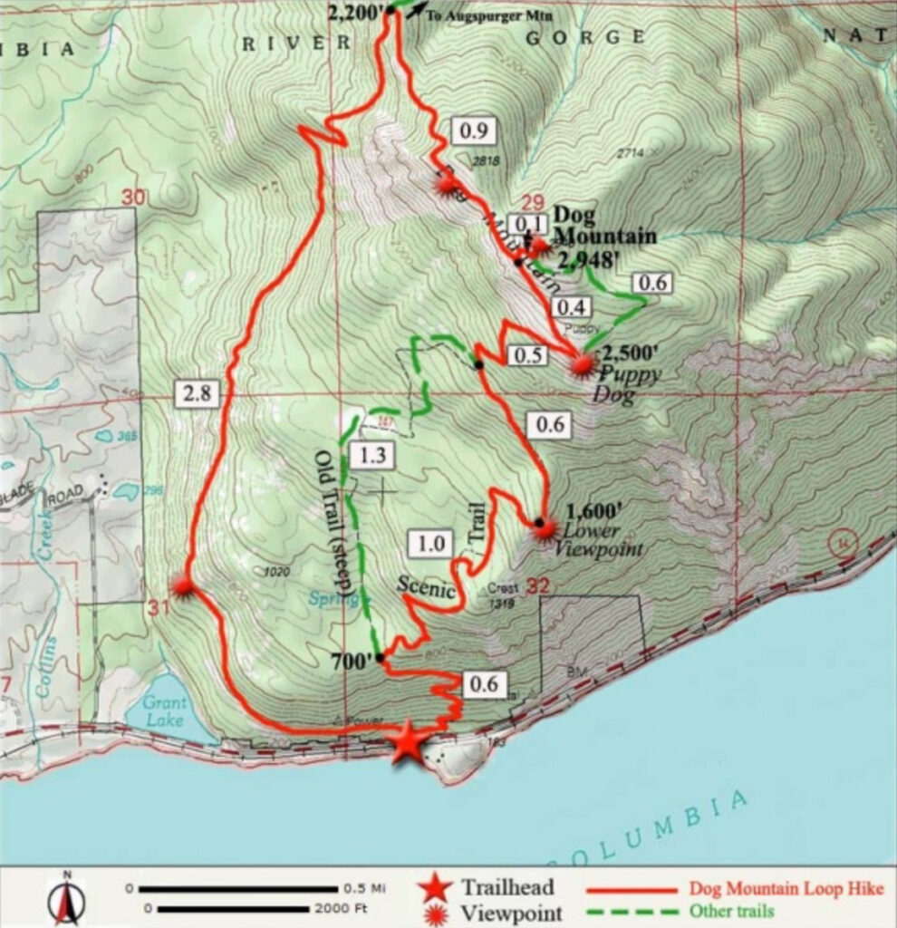
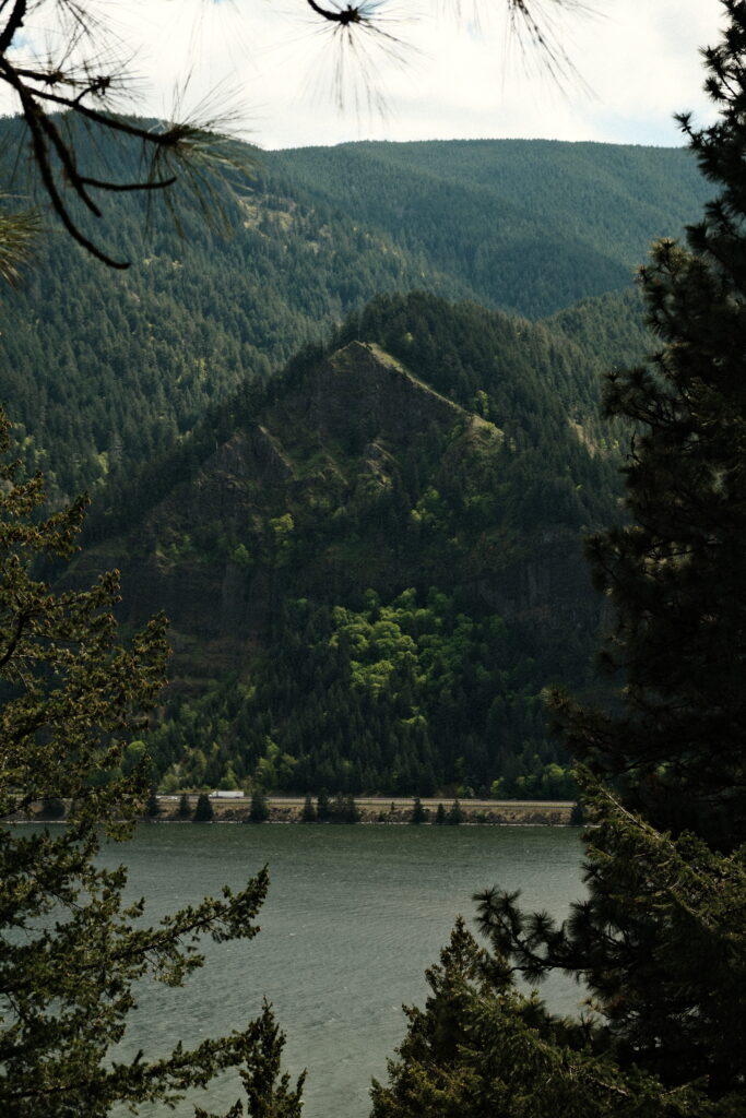
The first 0.6 miles of the trail had a fairly steady incline. I saw a few wildflowers and the Columbia River through the trees.
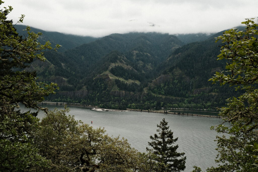
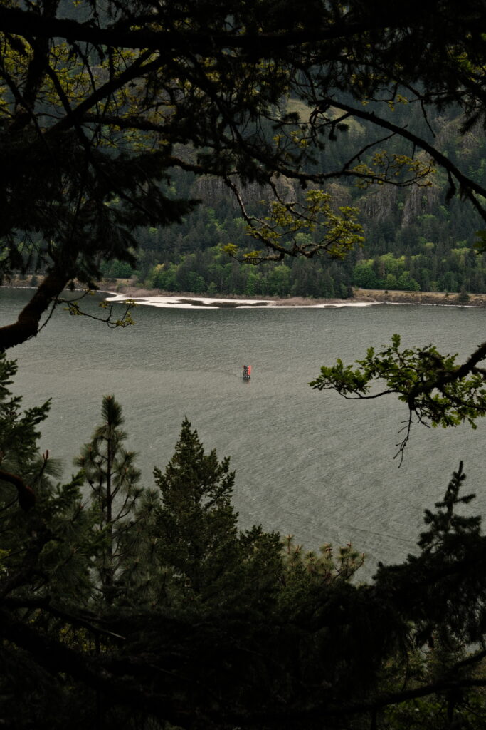
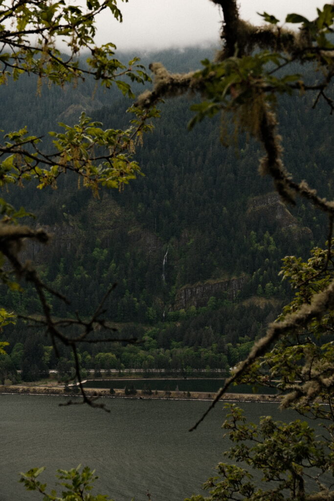

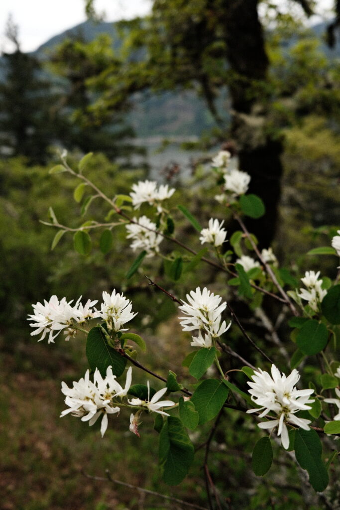
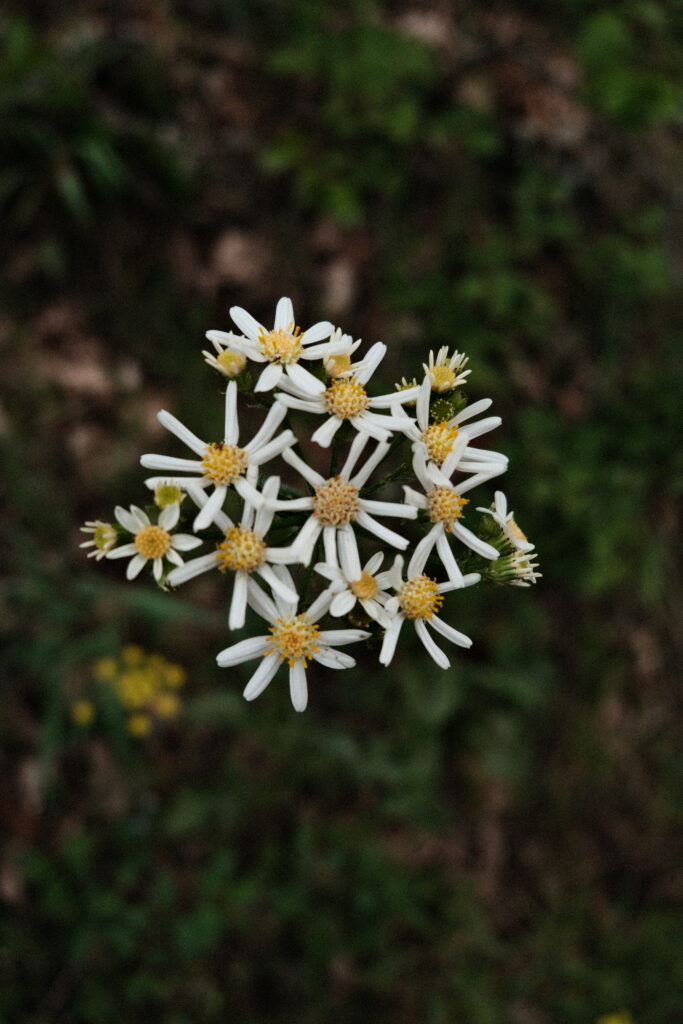
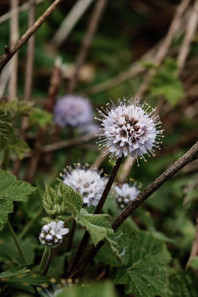
Once I reached the split in the trail, I went left. Even though this route is known as the harder of the two, I didn’t think it was too hard. It was marked steeper, but it honestly felt more like a continuous incline than a steep one. Taking this route saves you an extra 0.3 miles, but you will not have the views from the easier Scenic Trail. I decided to go up this route and come down the Scenic Trail because I was curious about what both routes looked like. The “steeper” one takes you through a forest. There aren’t any views other than trees and wildflowers, but I am glad I did it so that I wasn’t left wondering what this route looked like. I got a few shots of some beautiful wildflowers and red leaves.
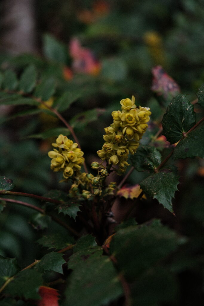
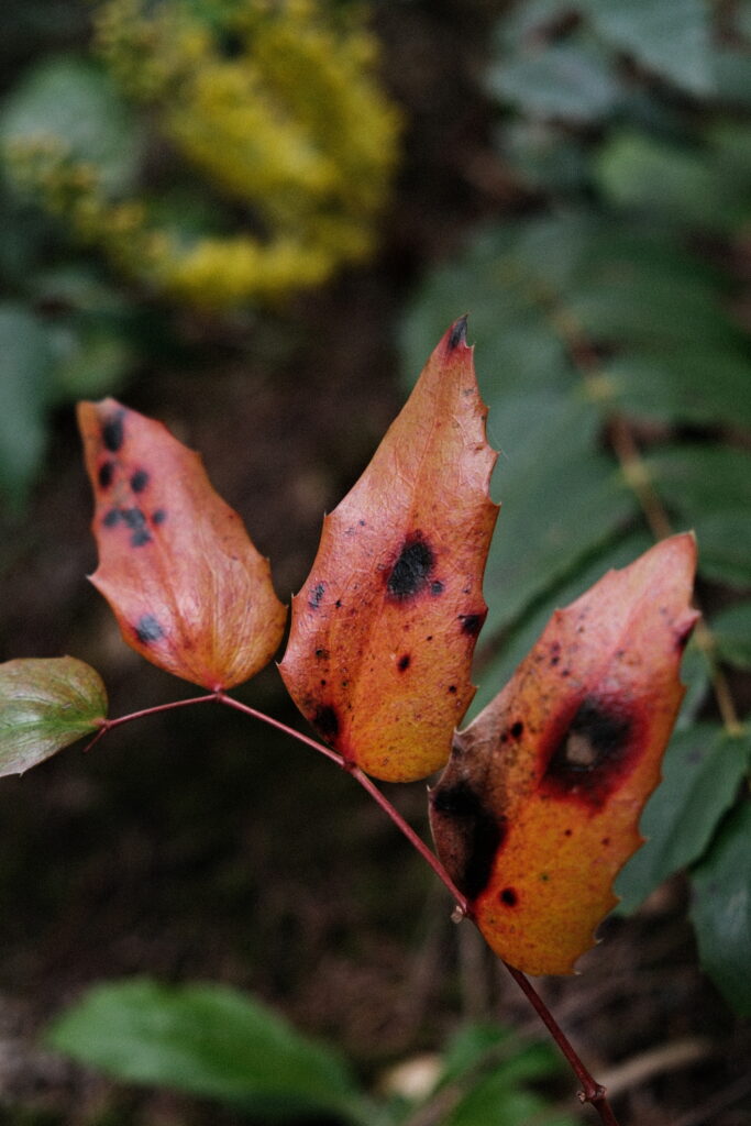
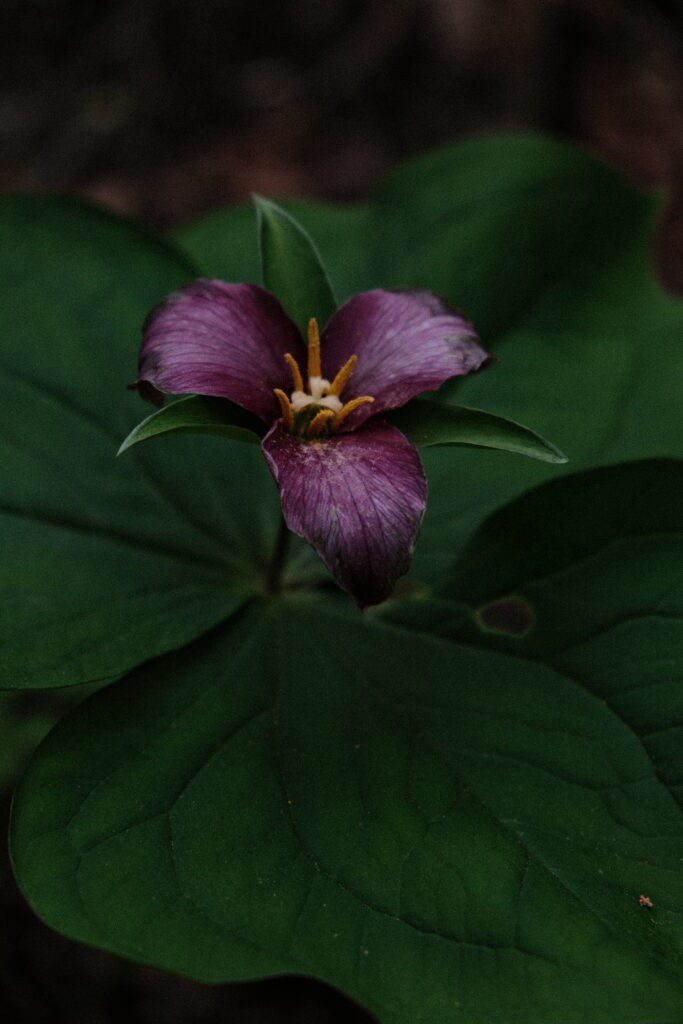
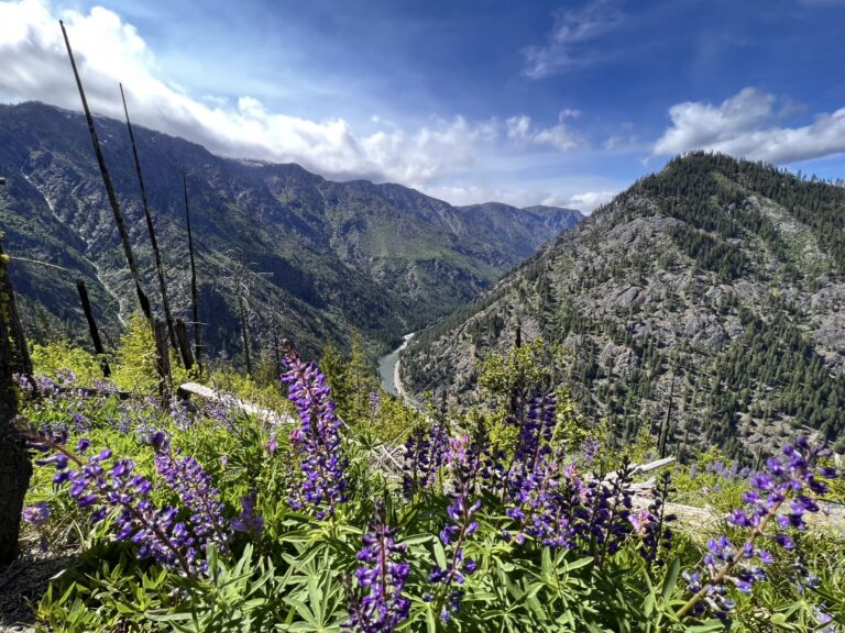
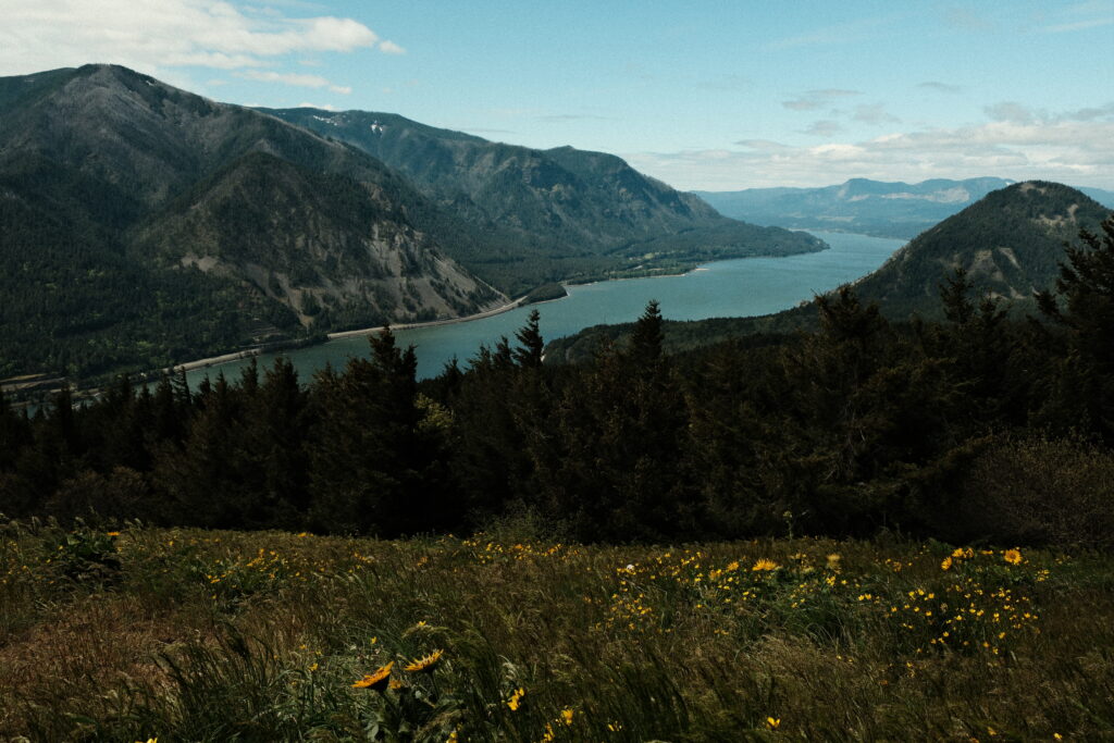
After a 1.3 mile journey through the forest, the two trails will meet back up with each other. Puppy Dog viewpoint is a 0.5 mile climb away. You will pass more wildflowers and begin to see wildflower fields with views of the Columbia River Gorge. I had to put my sweatshirt on as I was coming out of the forest because the wind started to pick up and I got cold.
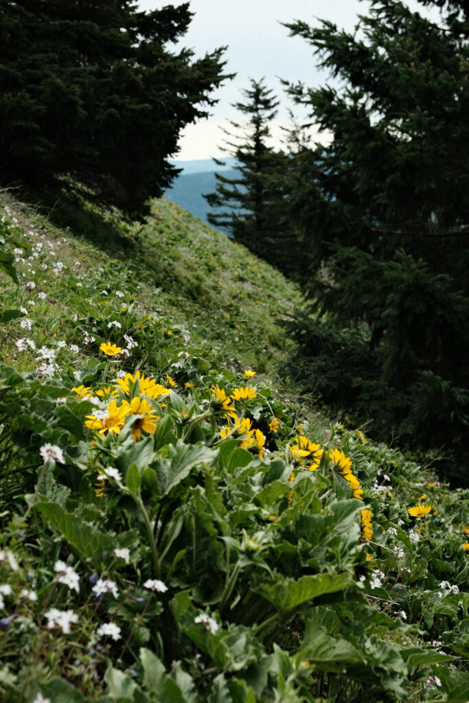
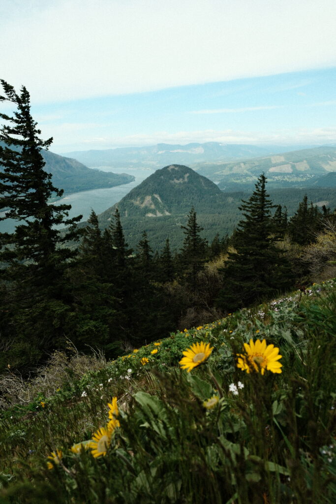

After reaching Puppy Dog viewpoint, I continued up to Dog Mountain. I did this 1.1 mile loop clockwise. It was even windier on the western side on the loop after Puppy Dog because there were no longer any trees sheltering me. It was at this moment that I regretted not bringing more layers.. The views made up for getting blown around.

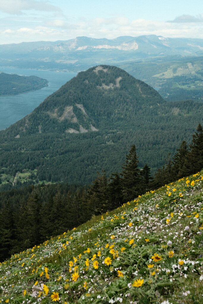
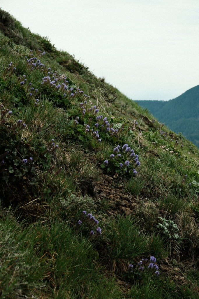
While the loop is exposed on the western side, the eastern side is tucked in the trees. I stopped in these trees to have a snack before braving the wind again and traveling 1.1 miles to the Lower Viewpoint on the Scenic Trail.
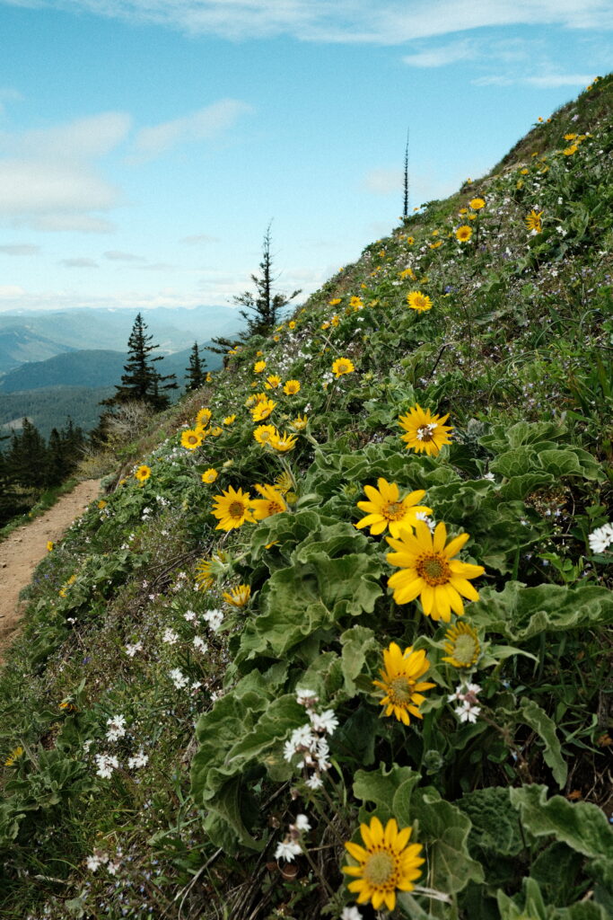
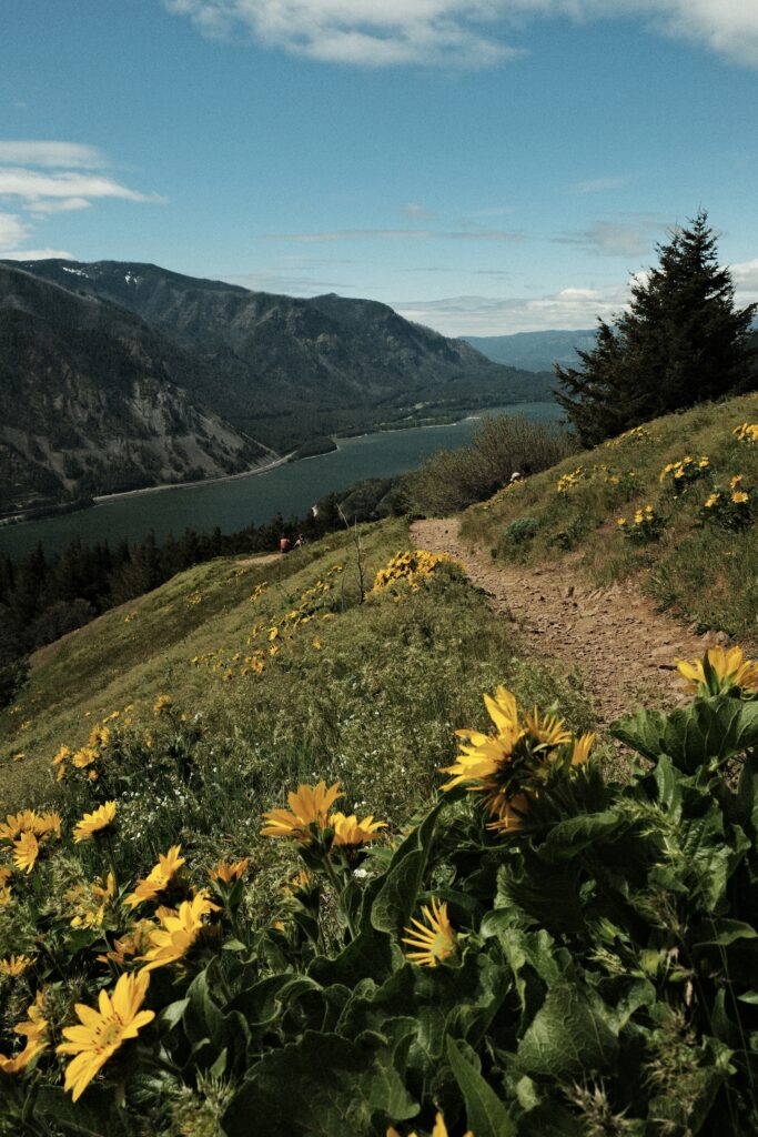
It was still windy when I reached Lower Viewpoint, but the sun started to come out finally. The views from this viewpoint were gorgeous. I spent quite a bit of time here soaking up the views and the sun.
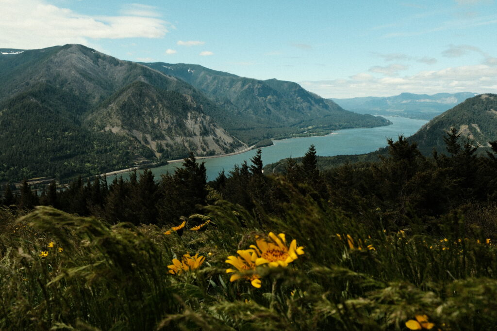
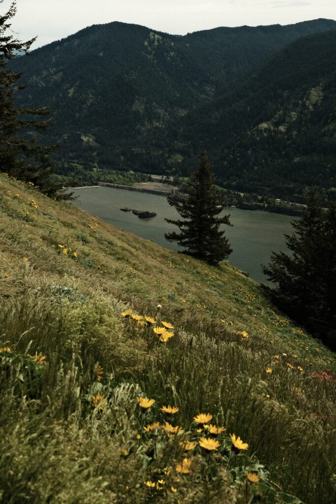
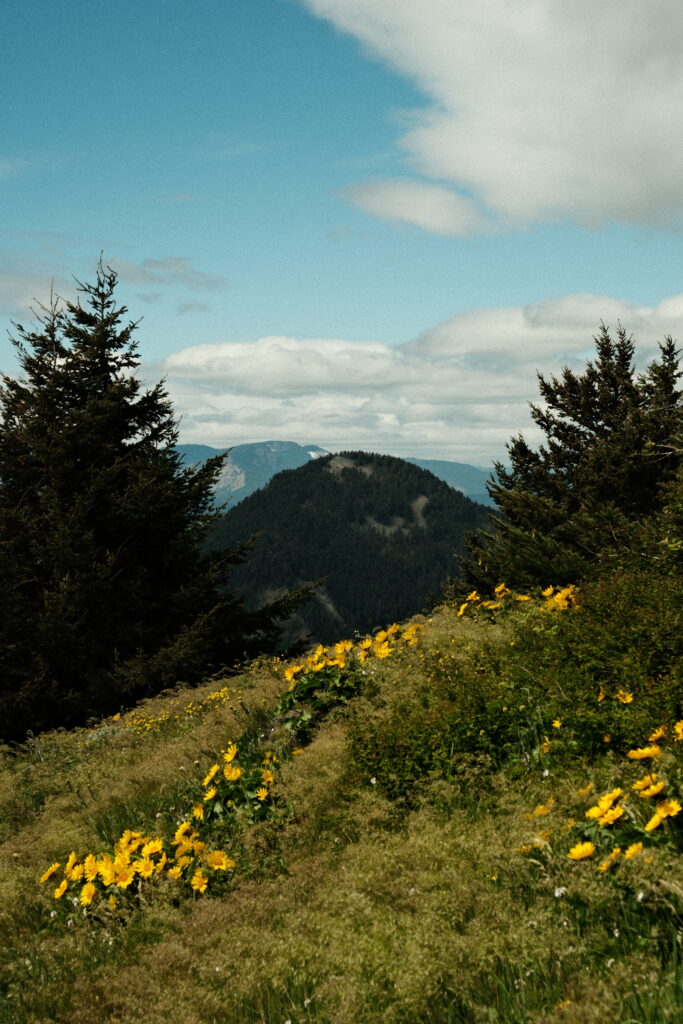
After my break at the viewpoint, I started the 1.6 mile decent to the parking lot. The Scenic Trail had a steadier incline/decline than the “steep side” (even though the steep side wasn’t terrible). This route was kind on my tired legs. This side of the trail was also fairly forested, but it had more views of the Columbia River.
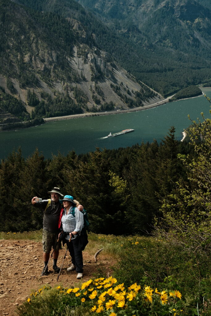
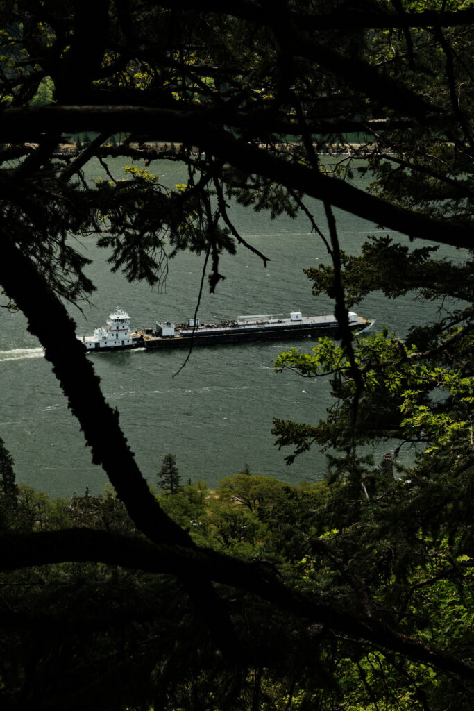
Note for the reader: I share these locations so that others can see beautiful places and enjoy nature as much as I do. Please be respectful of the outdoors and what condition it is in when you visit. Don’t go off trail, leave no trace, and pack out what you came in with.
