Guide to Olympic Peninsula National Park
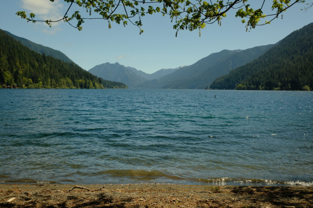
Encompassing nearly a million acres, the Olympic Peninsula National Park protects a vast wilderness, thousands of years of human history, and several distinctly different ecosystems, including glacier-capped mountains, old-growth temperate rain forests, and over 70 miles of coastline. Not only is the scenery diverse, but the weather is as well. It is common for different weather conditions to exist within the park at the same time. Temperatures may vary from 10-20 degrees, especially along the coast and higher elevations. Parts of the peninsula receive 12 feet of rain every year, but summer brings warm, dry weather (usually). I have been to the park three different times: once in March with friends and in May and August alone. During March there was pouring rain, but in May and August it was bright and sunny. No matter what time you go, I recommend bringing a raincoat just in case.
The Olympic Peninsula National Park is one of my favorite places to explore in Washington State. I love that you can see towering mountains, tranquil rainforests, and sandy beaches all in one place. You could easily spend over two weeks exploring the peninsula, but most people only have a few days. Luckily, some of the most popular sights can be seen within a weekend. There are several regions on the peninsula that are a fair distance from one another, so I do not recommend staying the night in one spot. When I visited the peninsula in May, I stayed the night at three different places: Port Angeles, Hoh Rainforest, and Lake Quinault. Although I have been to the peninsula three times, there are parts of it that I still want to explore. I will definitely be making more trips in the future and will update this guide once I do. For now, this guide covers the places that I have seen so far in order going counterclockwise along the peninsula.
- Lake Cushman
- Staircase Rapids
- Mount Ellinor
- Murhut Falls
- Rocky Brook Falls
- Lake Crescent
- Marymere Falls
- Sol Duc Falls
- Rialto Beach
- La Push
- Hoh Rainforest
- Ruby Beach
- Tree of Life
- Lake Quinault
Be aware that there is spotty service on the peninsula. You will have service around the towns, but it is not consistent on other parts of the peninsula. Make sure you download an offline map or carry a physical one with you and mark trailheads you are going to beforehand.
lake cushman
Lake Cushman
iPhone 13 Pro & Fujifilm X-T5
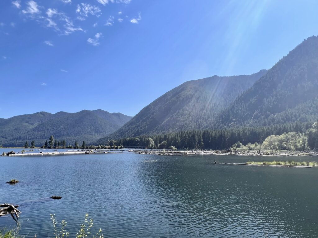
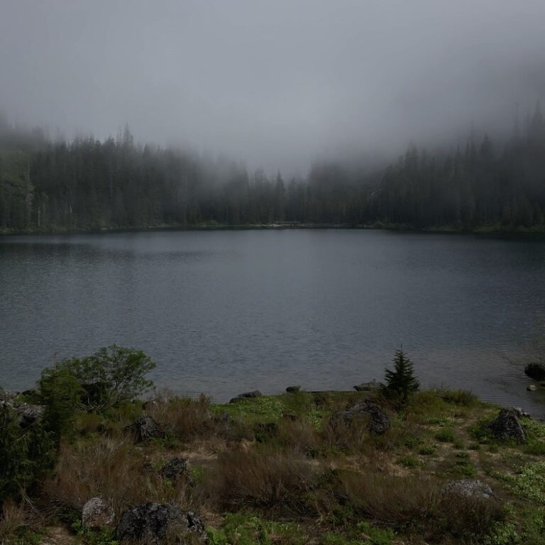
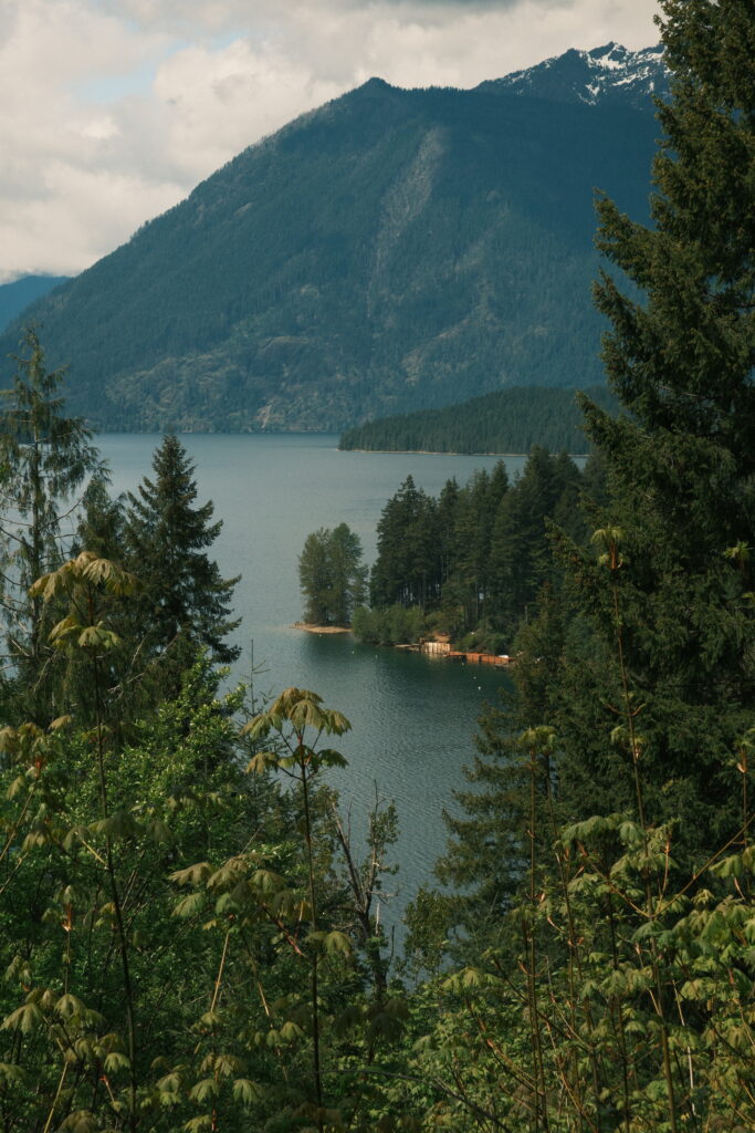
Lake Cushman is a whopping 4,014.6-acres. Since the lake is a popular place for hiking, fishing, boating, and kayaking, its shoreline is dotted with resorts and rental cabins. North Lake Cushman Road is the main road that runs along the entirety of the northeastern shore of the lake. It connects to forest service roads that lead to trails at the base of surrounding mountains.
staircase
Staircase Rapids
iPhone 13 Pro
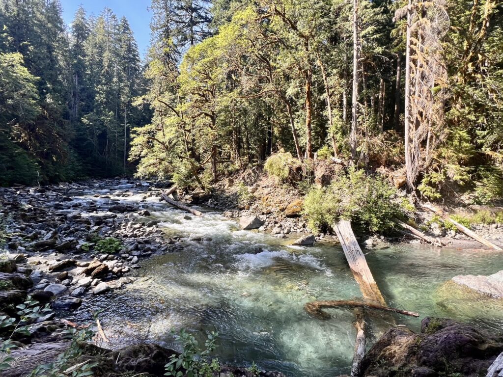
Staircase Rapids is located at the end of North Lake Cushman Road. You have to pass through a national park fee station to get to the trailhead. The trail is an easy 2.1-mile loop with a low elevation gain of under 600 feet. The trail parallels the North Fork Skokomish River the entire hike, so you will be able to hear its gentle trickle as you walk through the forest.
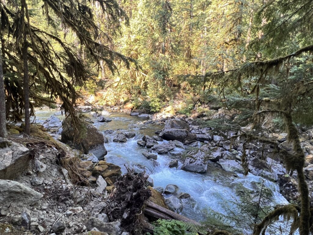
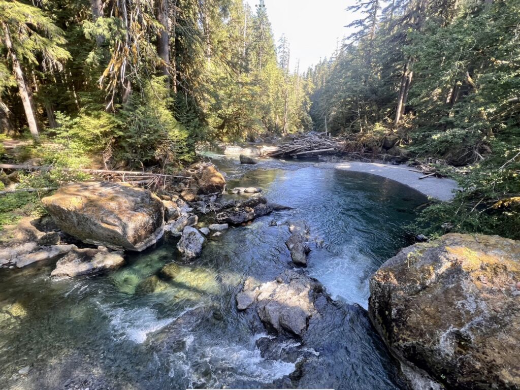
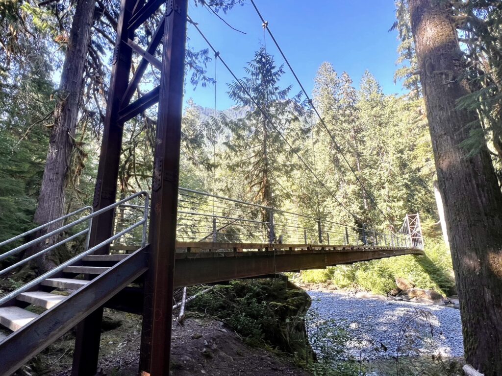
On this hike you will walk through an Olympic old-growth forest with a lush understory of mosses and ferns. Along the river will be multiple small waterfalls and rapids. After about 1 mile you will come to the Skokomish River Suspension Bridge. When you’re done admiring the views from this bridge, take a right at the fork in the trail to return back to the parking lot.
mount ellinor
Mount Ellinor
iPhone 13 Pro
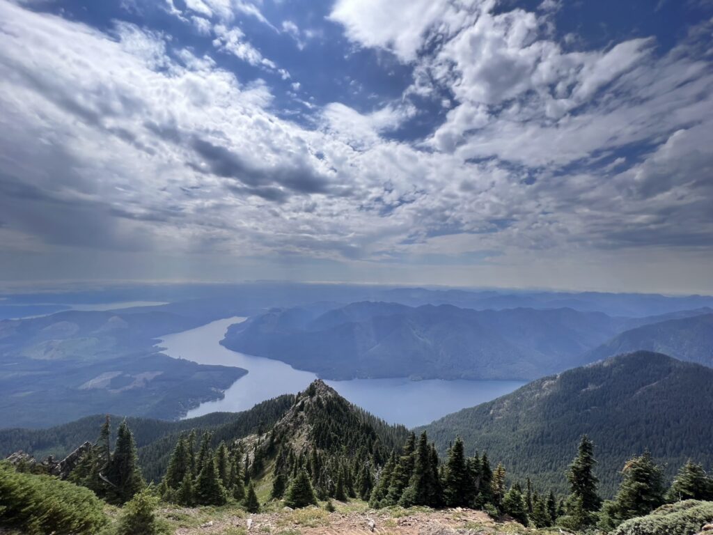
Mount Ellinor is one of the hardest hikes I’ve ever done, but the views are so worth it. You can either complete this hike in 6.2 miles from the lower trailhead with an elevation gain of 3,300 feet, or in 3.2 miles from the upper trailhead with an elevation gain of 2,444 feet. No matter which path you choose, you are going to have to hike the final 2,444 feet of elevation gain in only 1.6 miles. This is HARD and may take longer than you think. I chose to park at the upper trailhead hoping that cutting the hike in half would make a difference. Even though it was less mileage, the hike still took me about 3 hours to complete because I was constantly stopping to catch my breath. 2,444 feet of elevation gain in 1.6 miles is no joke.
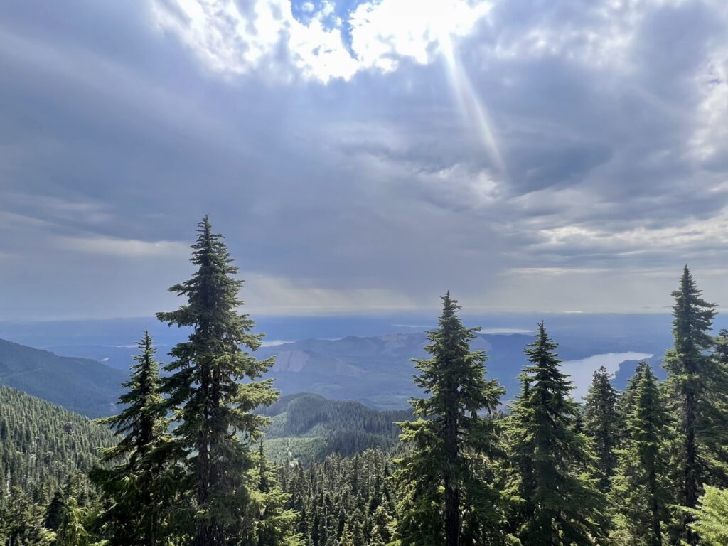
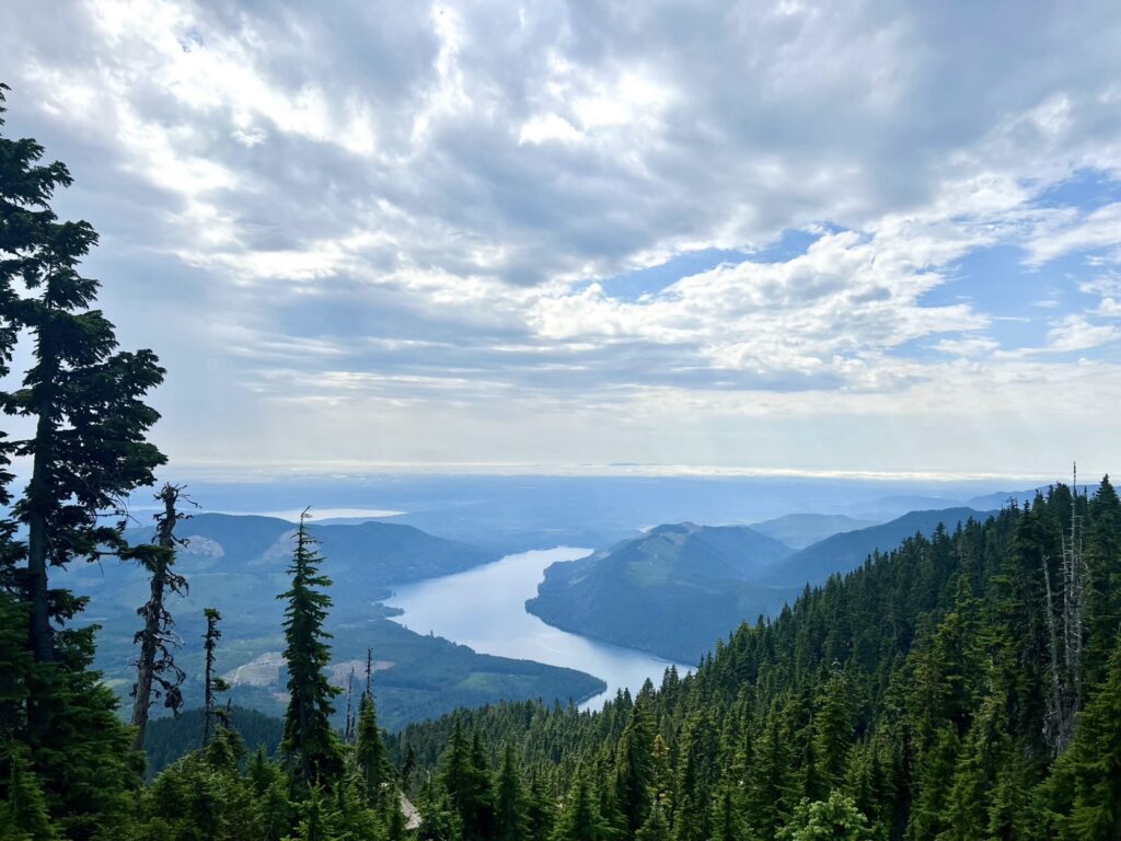
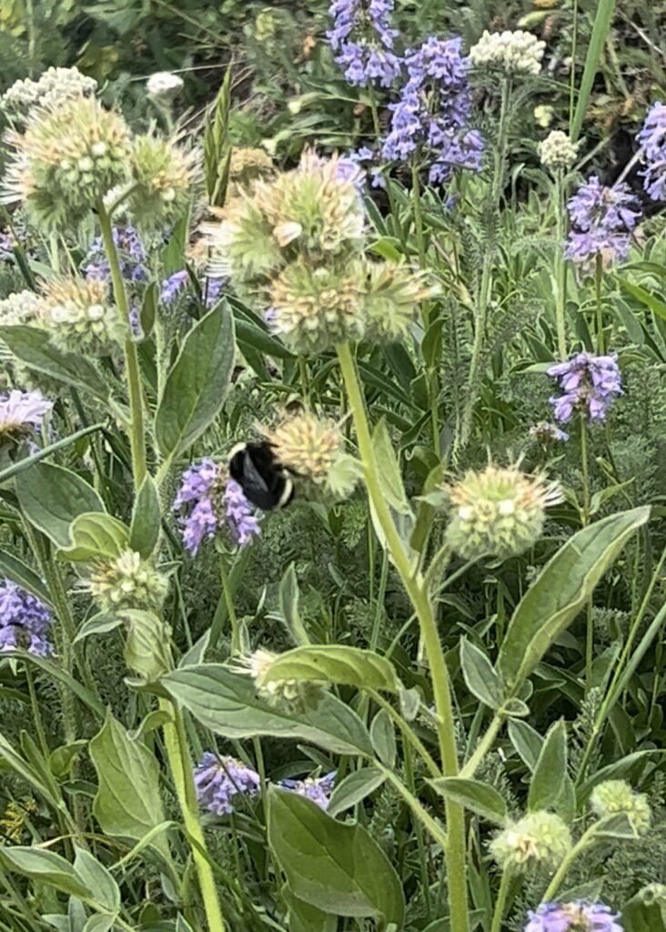
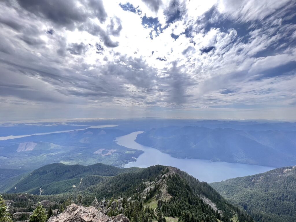
From the upper trail, you will immediately start climbing uphill through the forest. After a while, you will climb out of the tree line and see Lake Cushman peeking through the trees. You will continue the grueling climb upwards until you are out of the forest and hiking on the side of Mount Ellinor. The views become unobstructed, and you can see far into the distance on a clear day. I completed this hike in August, so there were still wildflowers on the mountain. Buzzing around those wildflowers were the largest, fattest bees I have ever seen in my life. They were not stripped like a normal bee, but instead had two rings of yellow around their head and bottom surrounded by black. These bees were about the size of three quarters. I was in awe of their size and fuzziness.
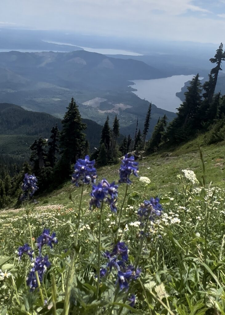
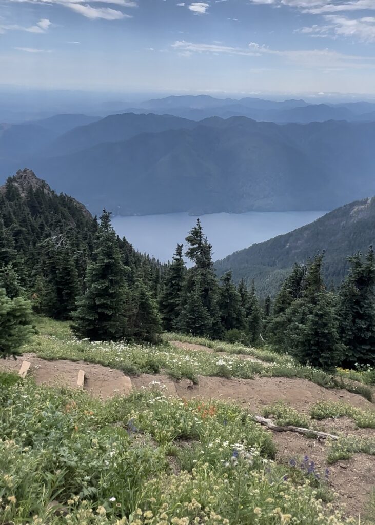
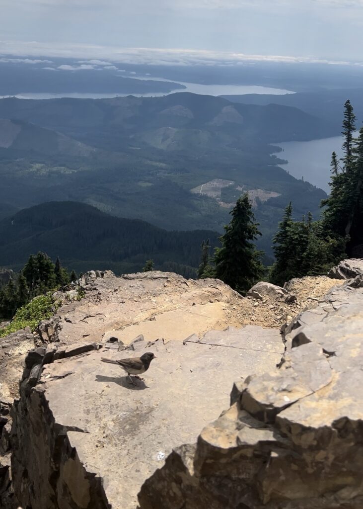
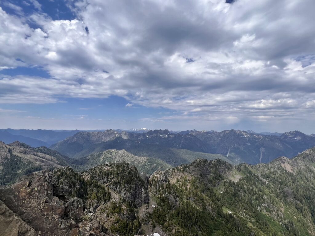
Once you complete the uphill trek, you are rewarded with 360-degree views of the Olympic Peninsula. Take this opportunity to rest your legs and have a snack with some of the most gorgeous scenery sprawling below you.
murhut
Murhut Falls
Fujifilm X-T5: King Negative
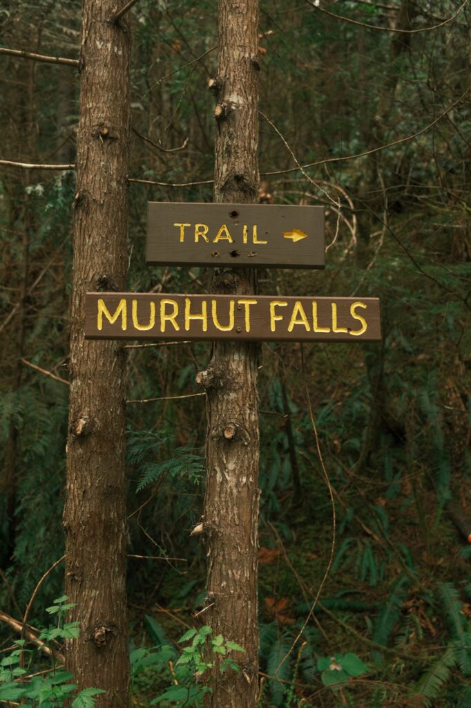
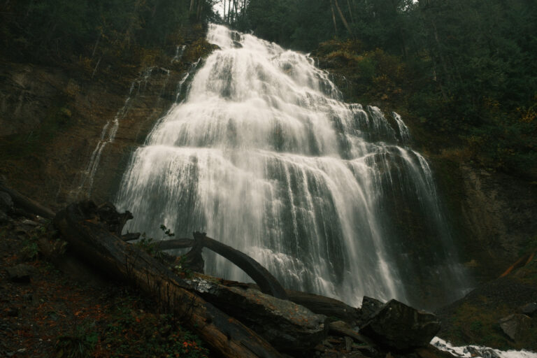
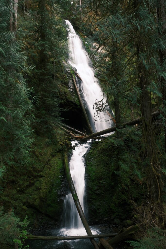
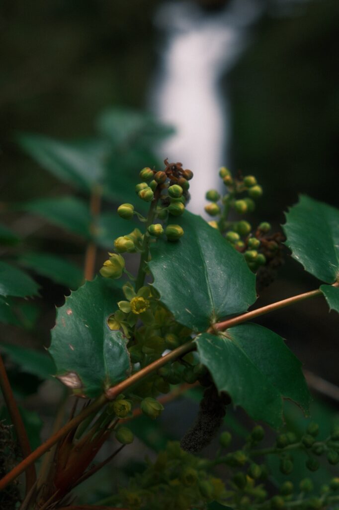
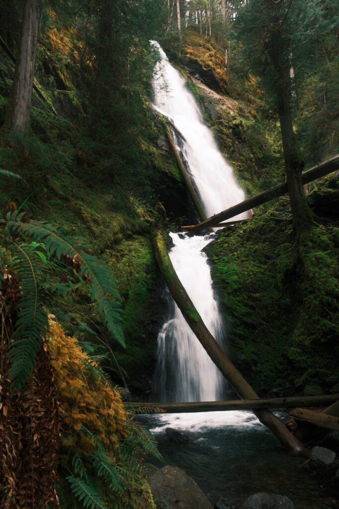
Murhut Falls is a 130-foot waterfall located up a forest service road. The hike to the falls is only 1.6 miles roundtrip with an elevation gain of 250 feet. When you start this hike, you will immediately be engulfed in the mossy forest. After a short while you will hear Murhut Falls and see it peeking through the trees.
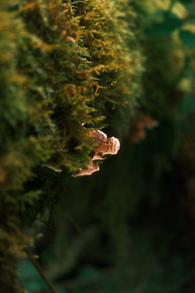
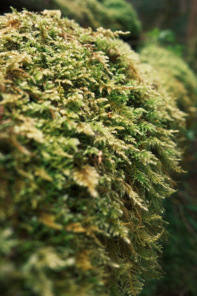
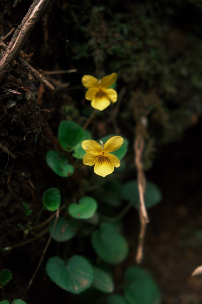
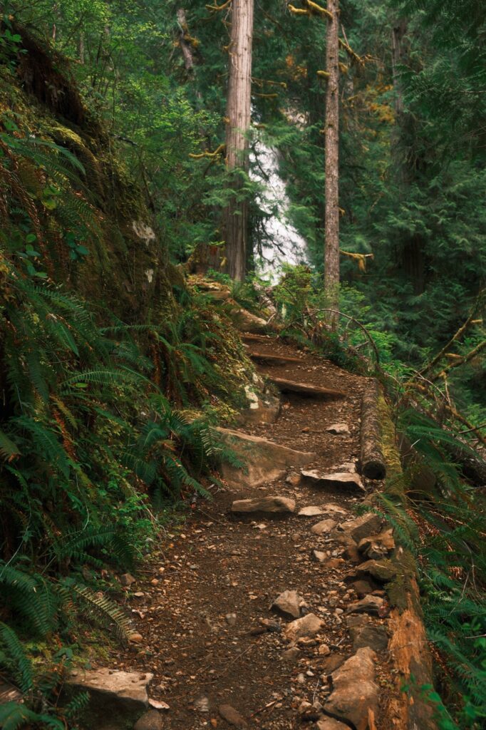
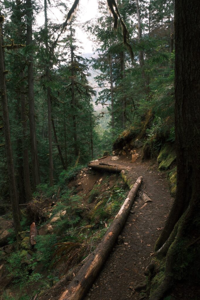
At the end of the trail is the top viewpoint of the falls. If you want to get closer there is a path leading to the base of the falls off the end of the main trail. This is a scramble down the hillside, so proceed with caution.
Rocky Brook Falls
Rocky Brook Falls
Fujifilm X-T5: Forest Ranger
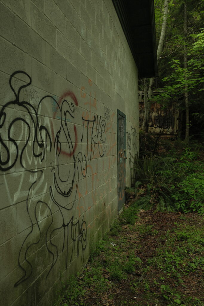
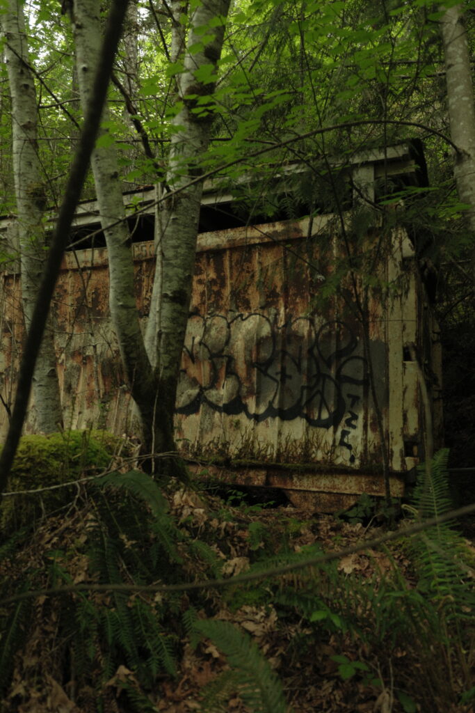
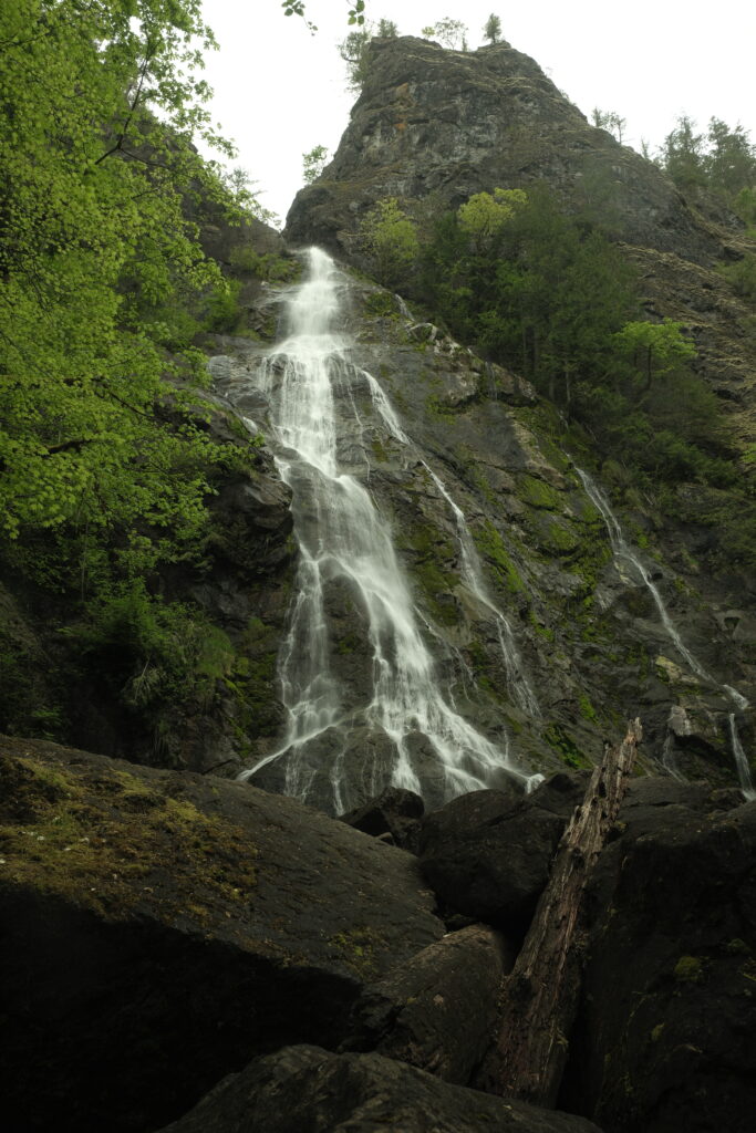
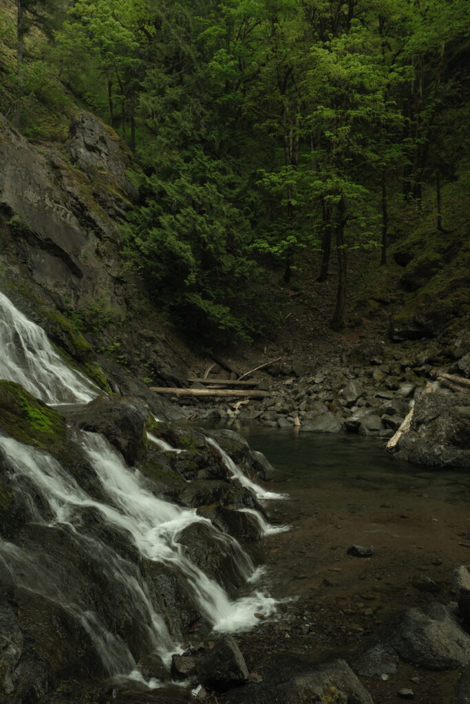
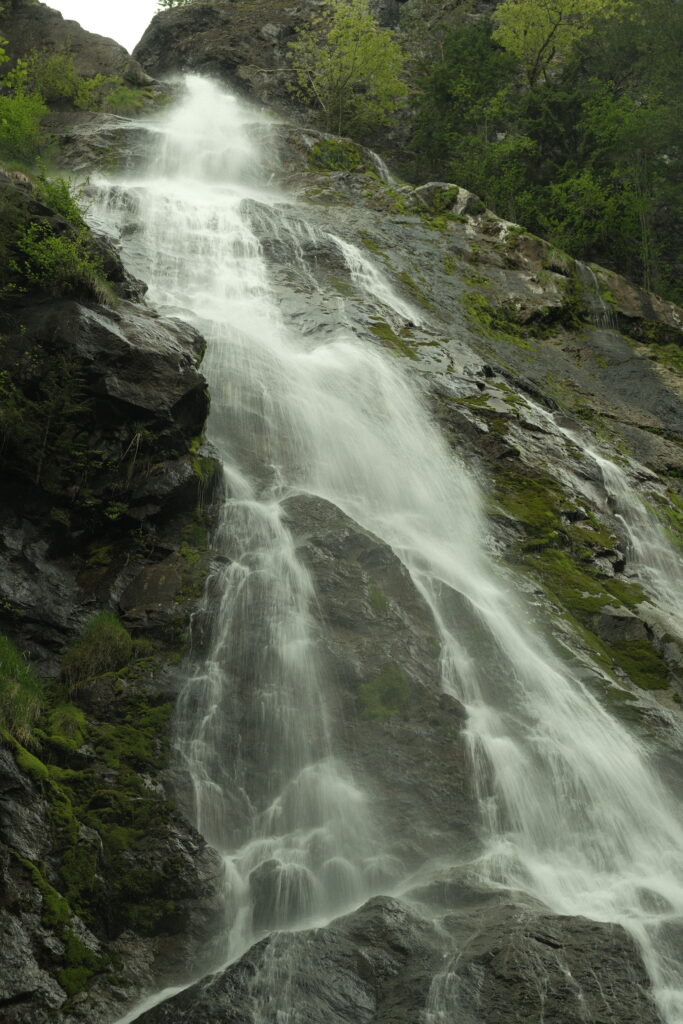
The “hike” to Rocky Brook Falls is more of a walk. There is no elevation gain, and the fall is less than 5 minutes from the road. The trailhead is marked by a gate and multiple warning signs saying that it is dangerous to enter. It is dangerous during rainy weather because the area is prone to flashfloods. It was a nice sunny day when I visited, so I continued onward to the fall.
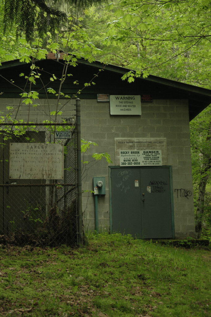
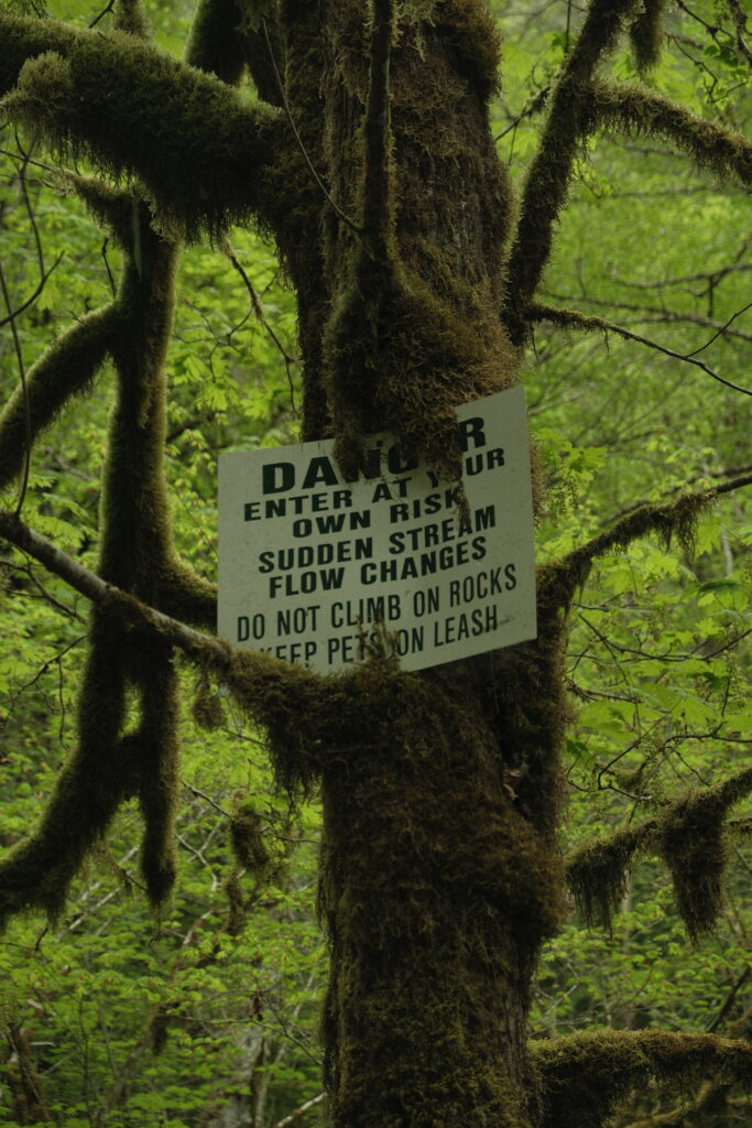
The fall itself is gorgeous. It cascades down the cliffside above into a small pool of clear water. The area is tucked back into a bowl like valley that is surrounded by the forest giving it a secluded vibe. This is a fantastic place to have a picnic or take a swim. Like the warning signs say, the rocks are hazardous because they are very slippery, so be careful if you choose to climb on them.
Lake Crescent
Lake Crescent
Fujifilm X-T5: Lente Bok
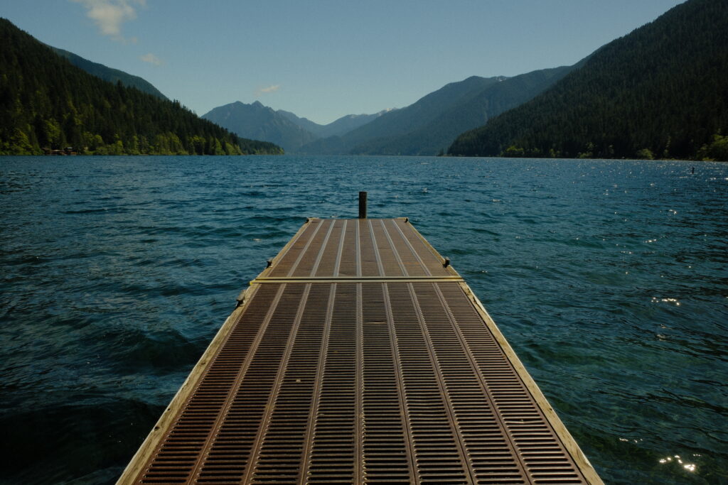
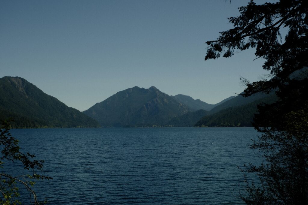
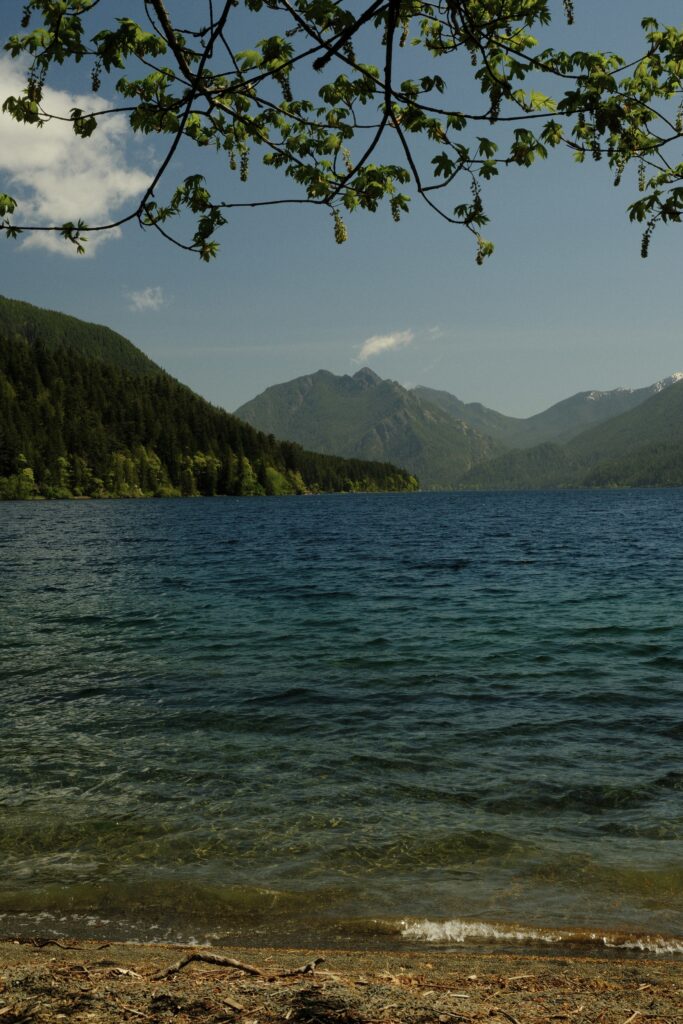
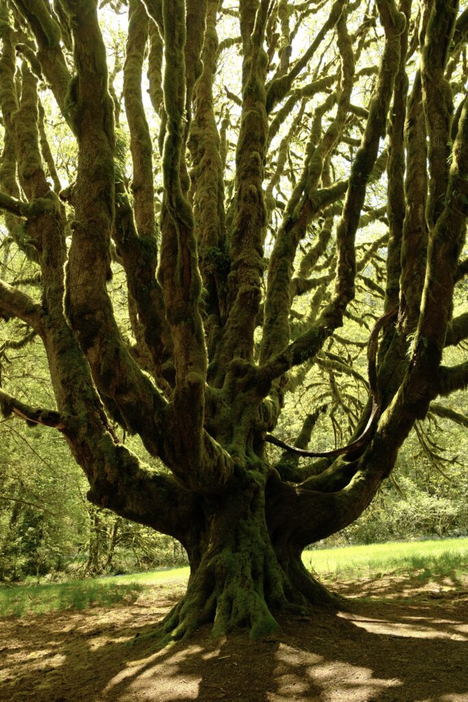
What is a trip to the Olympic Peninsula without a visit to Lake Crescent? This massive lake is 5, 127 acres and has a maximum depth of 624 feet, making it the second deepest lake in Washington. Glacially carved Lake Crescent is famed for its incredibly clear blue water, with visibility extending down as far as 60 feet. Near its shore you can see hues of beautiful greens and brownish oranges. This variety of colors and clarity within the lake are due to low nitrogen levels that inhibit algae growth. The lake on a bright, sunny day is a sight to see.
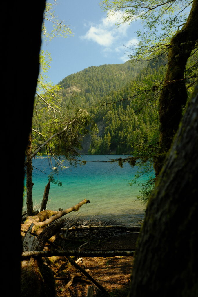
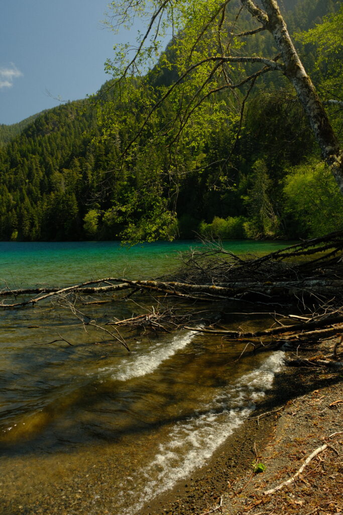
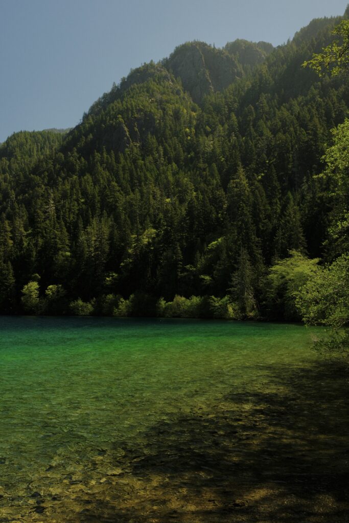
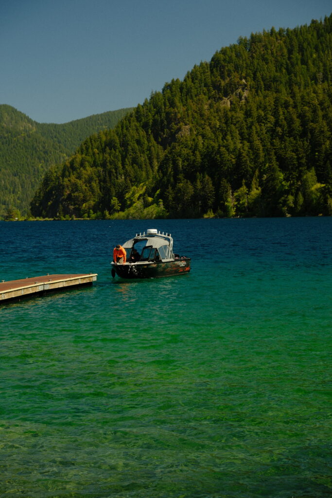
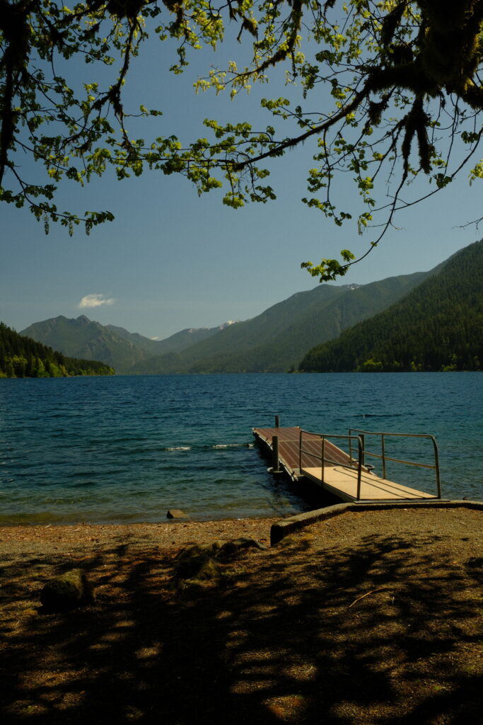
Lake Crescent Pier, located at Barnes Point, is one of the most photographed areas of Lake Crescent. This area is home to a lodge, large parking lot, Storm King Ranger Station, and multiple hiking trails. The pier is a great place to stop and stretch your legs, or to park your car to hike to the popular Marymere Falls and Mount Storm King. Ducks are also prevalent at the pier. They flock to the pier in hopes of obtaining food scraps from tourists.
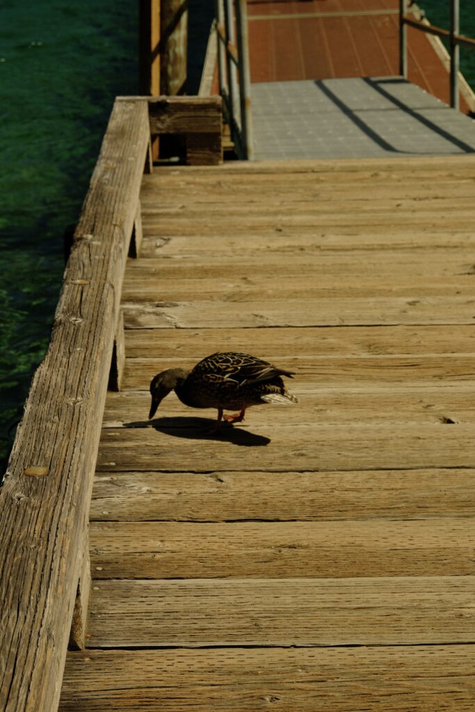
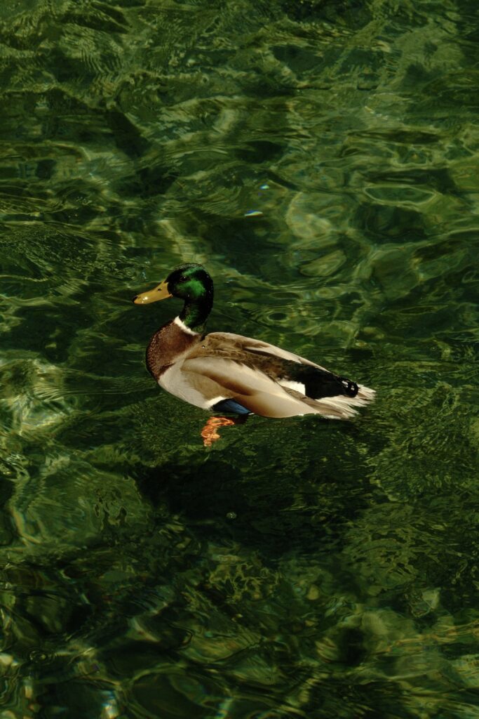
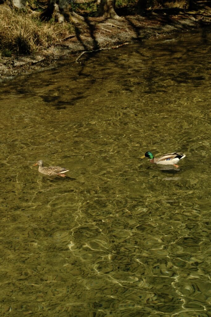
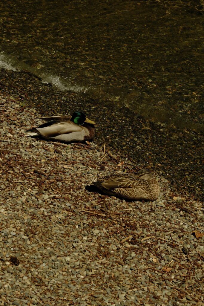
As you drive along Lake Crescent’s southern shore there are multiple pull outs for different viewpoints. More roads wind along the lake’s northern shore, one of which leads to the famed Devil’s Punchbowl. At Lake Cresent’s western most shore lies Fairholme Campground. There is a dock on the lake right next to this campground that is less busy than the pier. This area is surrounded by large trees and wildflowers. The lack of crowds at the campground dock made it one of my favorite places along the lake.
Marymere Falls
Marymere Falls
Fujifilm X-T5: Lente Bok
As I mentioned before, the trail for Marymere Falls is located right next to Lake Crescent Pier. I recommend getting here early because this is a very popular hike due to how accessible and easy it is. From the large parking lot, you will travel south along the lakes shore past the ranger station until you reach a tunnel that goes beneath Highway 101.
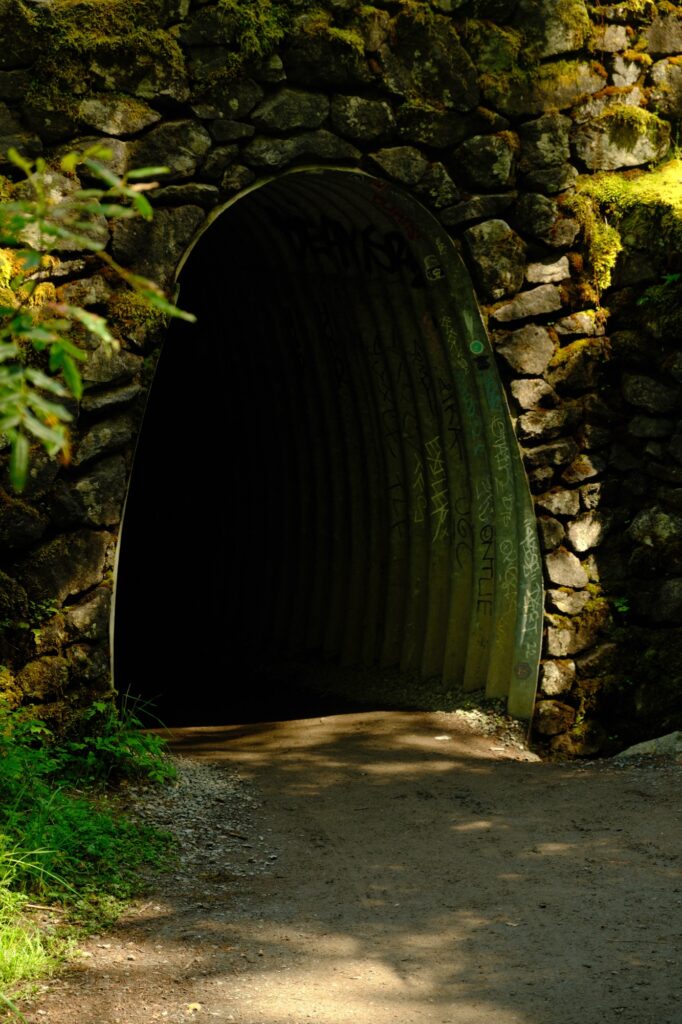
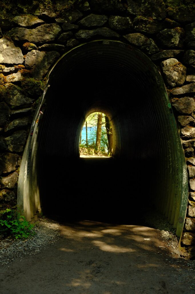
Once you make it through the tunnel, you will be engulfed by the rainforest where there is a plethora of mushrooms, trees with intertwining roots, and green rainforest vegetation. The hike to the falls is only 1.8 miles roundtrip with a low elevation gain of 500 feet.
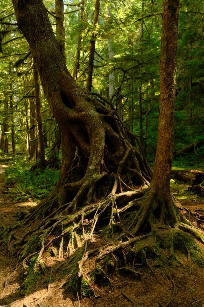
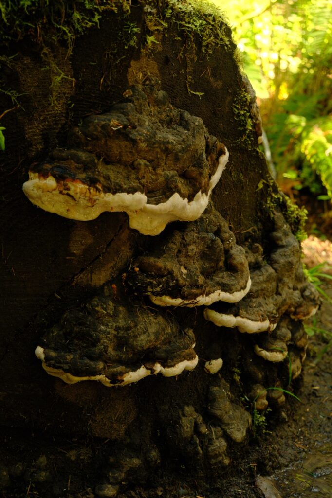
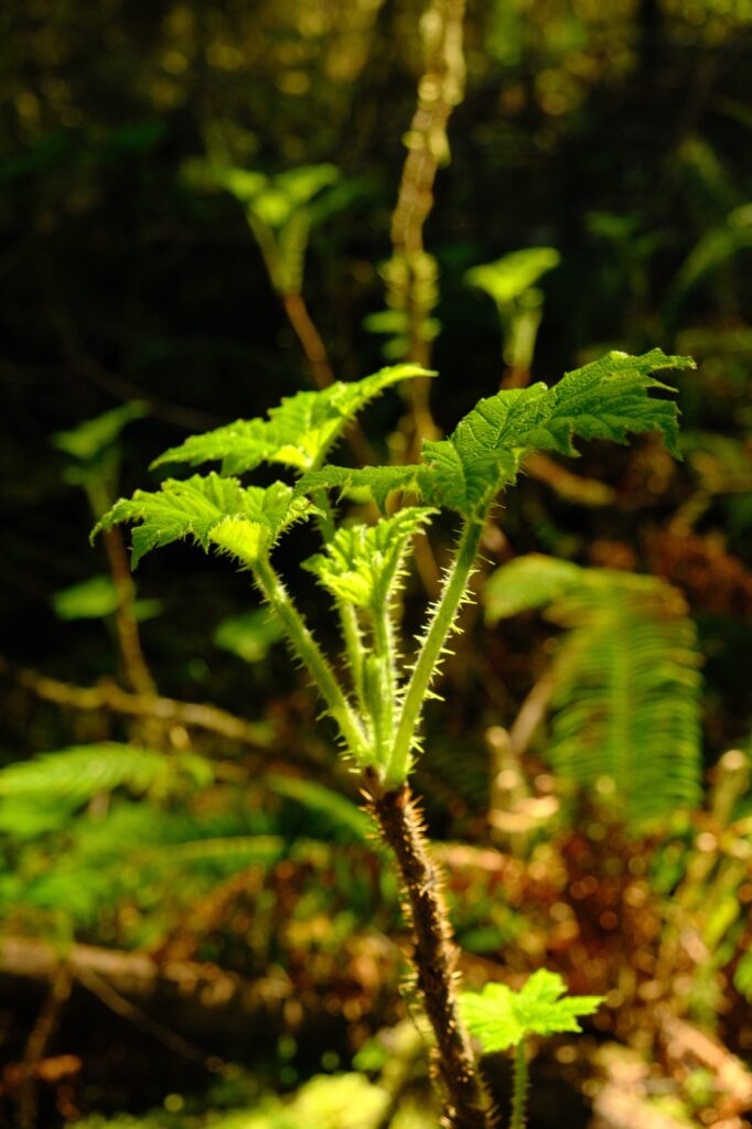
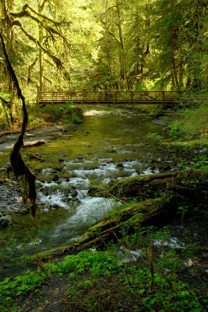
For most of this hike you will parallel Barnes Creek. There will be two bridge crossings, both offering gorgeous views of smaller waterfalls and Barnes Creek. You are close to Marymere Falls once you cross the wooden bridge and see a sign for the “Falls Loop”.
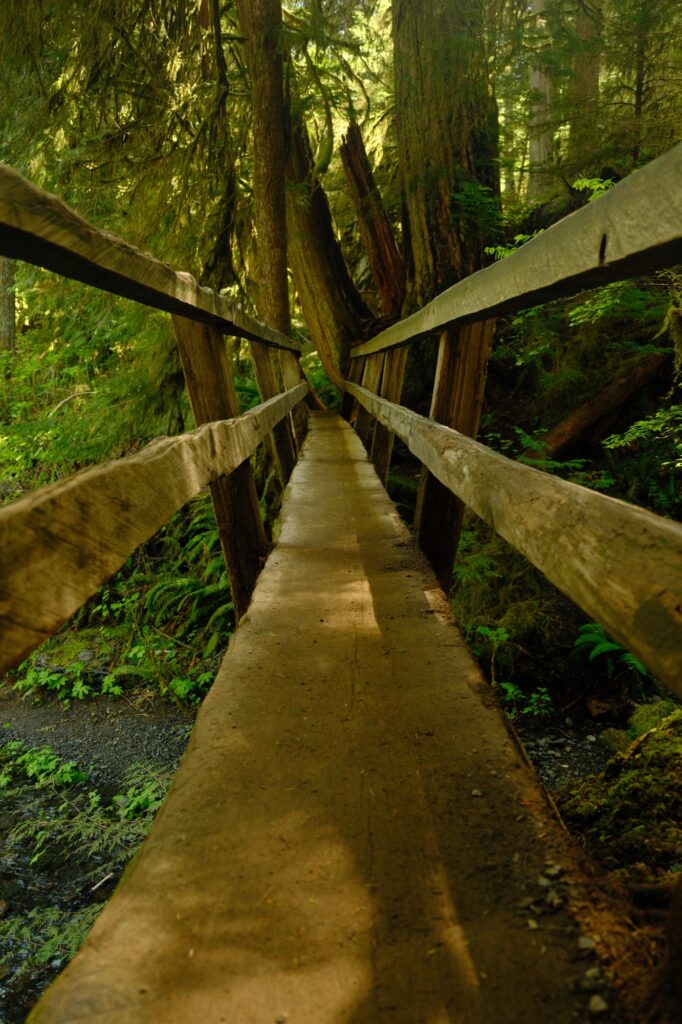
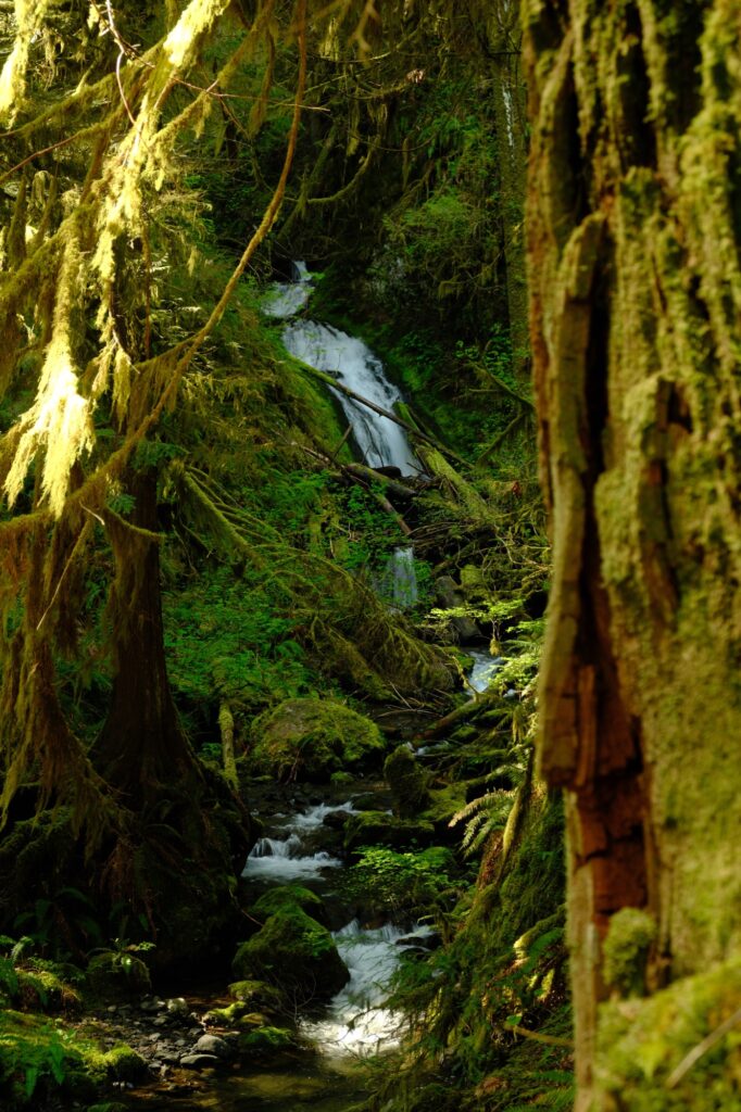
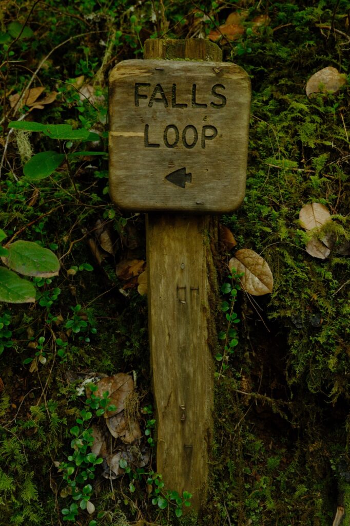
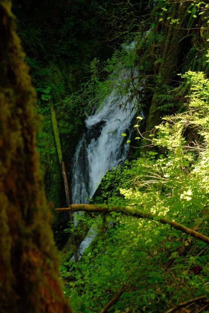
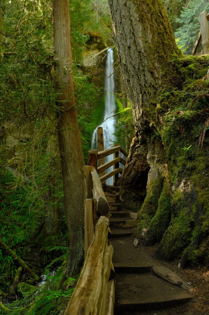
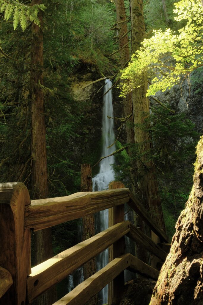
The “Falls Loop” is a tiny loop that takes you right to Marymere Falls. The sign points to the left (which is the direction I went), but some people choose to go right instead. Personally, I thought the views to the left side were better because you can get shots of the path and wooden railing with Marymere in the background.
sol
Sol Duc Falls
Fujifilm X-T5: Lente Bok
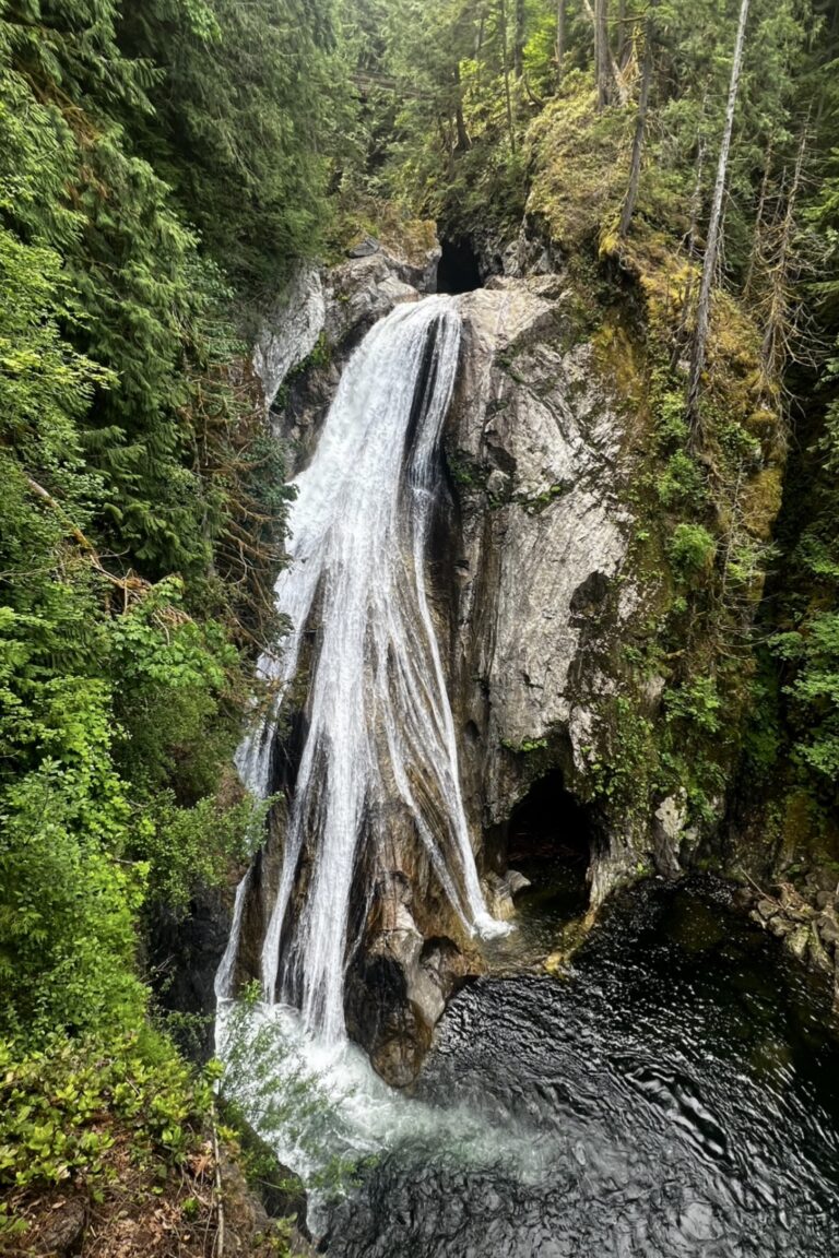
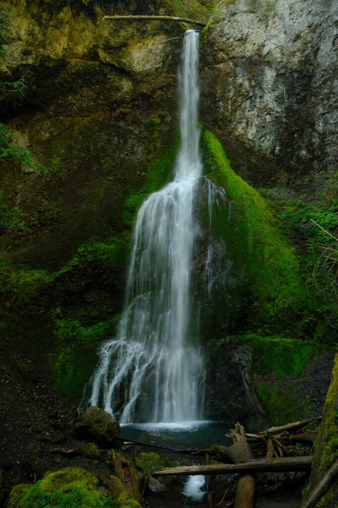
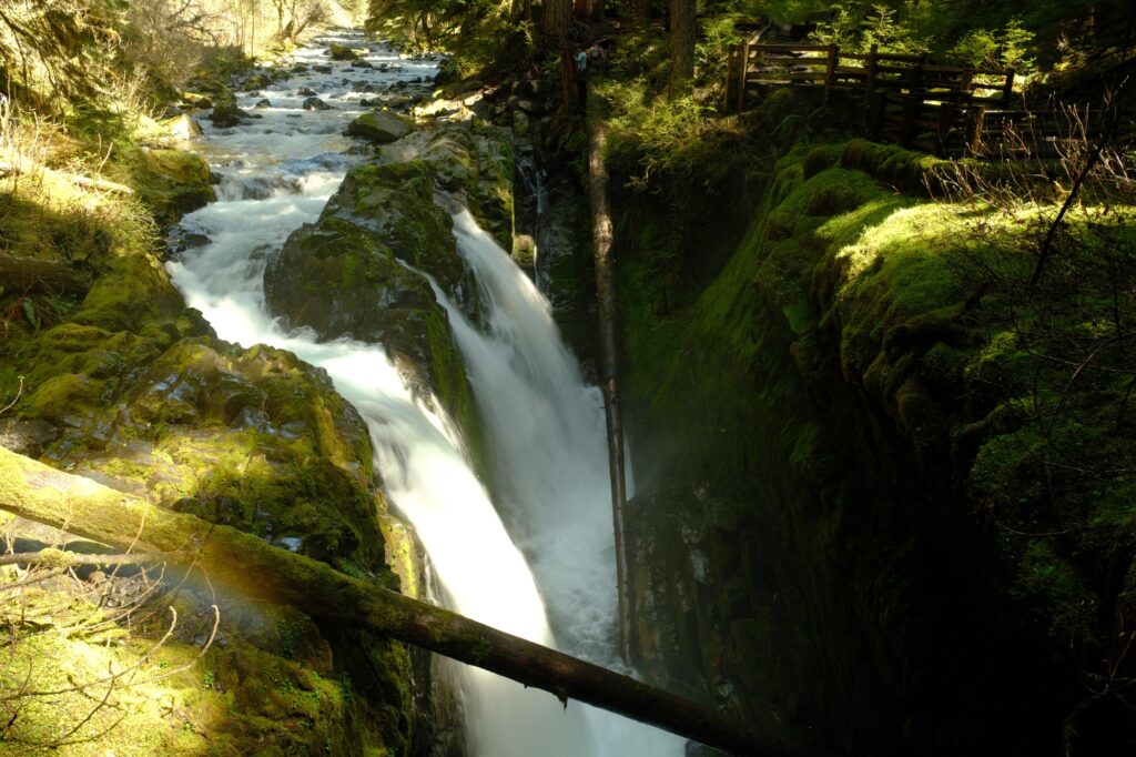
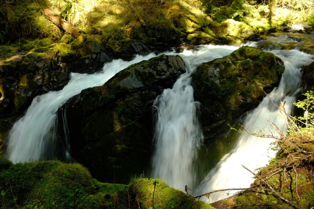
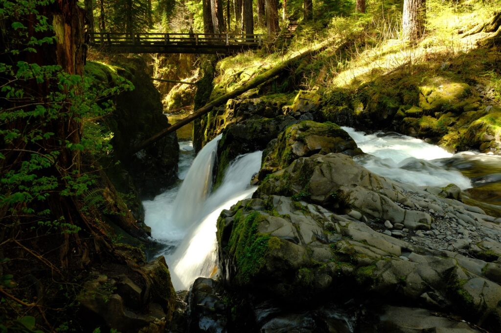
Sol Duc Falls is an easy 1.6-mile round trip hike with about 200 feet of elevation gain. The trailhead is at the very end of Sol Duc Road past the national park fee station. There are other trails located along this road, but the main attraction for most people is Sol Duc Falls. While this hike is an easy one, there are a lot of roots along the trail so watch your step. Once on the trail, you will walk through an old-growth rainforest bursting with greenery and fungi.
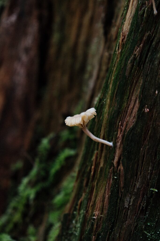
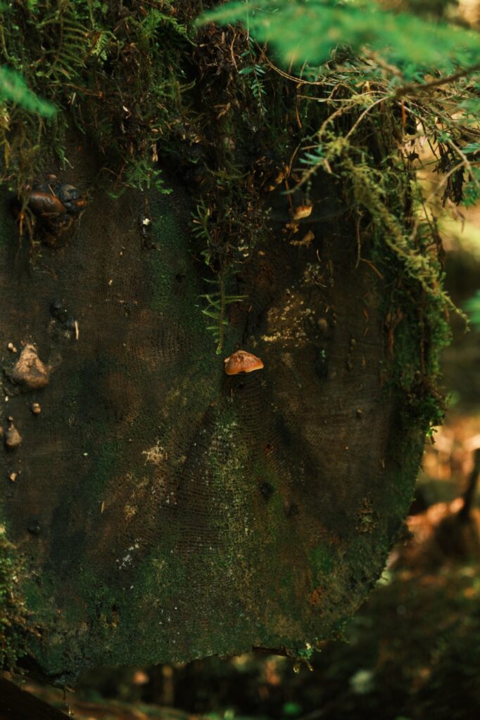
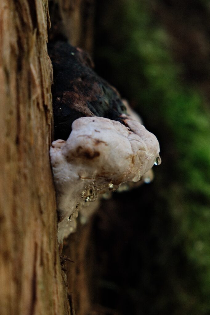
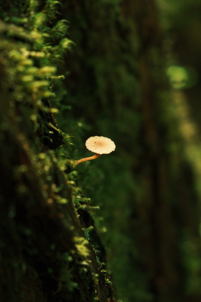
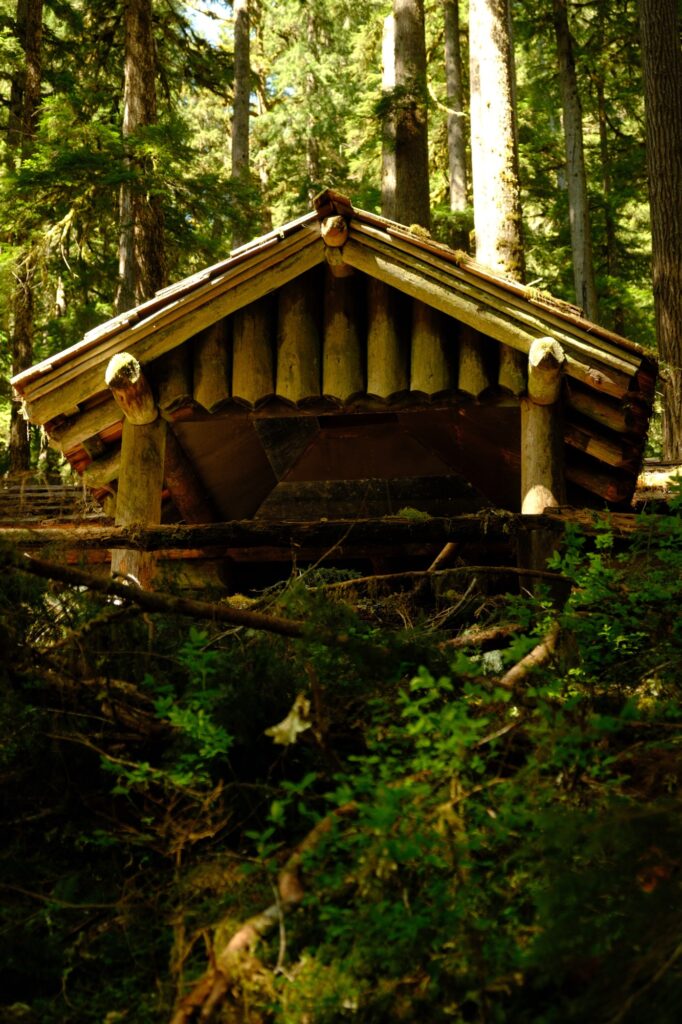
You will be able to hear the roar of Sol Duc Falls before you see it. Right before you reach the falls there will be a shelter that offers relief from the rain if it is a gloomy day. Near this shelter you can see the wooden barriers that surround the falls and will have views of Sol Duc River below.
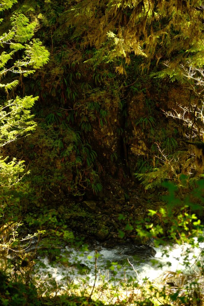
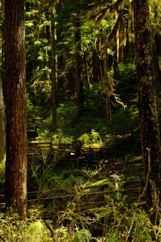
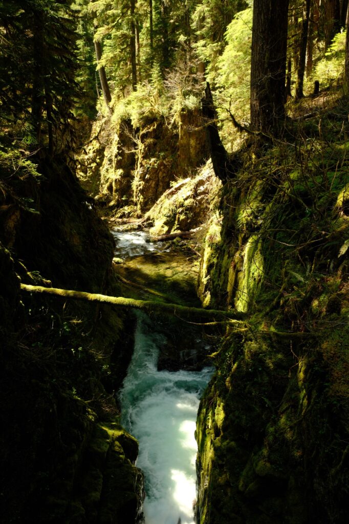
What Sol Duc Falls lacks in height it makes up for in might. The flow of the falls into the valley below is powerful and memorizing to watch. If you get close enough, you can feel cooling mist coming off the cascading water. The trail continues along the side falls offering you different vantage points, but the ground is usually muddy due to surrounding spray. For a hike this short and easy, Sol Duc Falls is definitely a must see.
rialto
Rialto Beach
iPhone 13 Pro
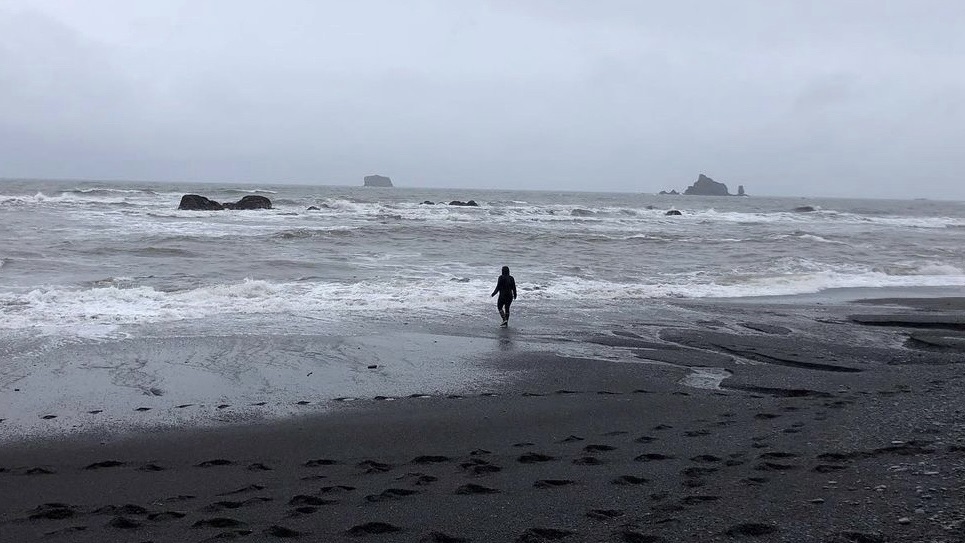
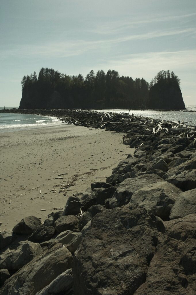
When I went to Rialto Beach with my friends it was a cold, rainy day in March. My goal when visiting this beach was to get to Hole-in-the-Wall, located a little over 1.5 miles to the right of the parking lot. Unfortunately, my friends and I didn’t make it there. The tide was high, so we weren’t able to cross Ellen Creek above the tideline along the beach. Regardless of our defeat on this cool rainy day, we still enjoyed the beach and explored the rocks to the left of the parking lot that offered views of Little James Island. If the weather is in your favor and you are able to get past Ellen Creek, then I recommend visiting the rocky arch, Hole-in-the-Wall, known to have surrounding tidepools full of oceanic critters. I am going to attempt to visit it again when I make another trip to the peninsula.
la push
La Push
Fujifilm X-T5: Arthouse Cinema
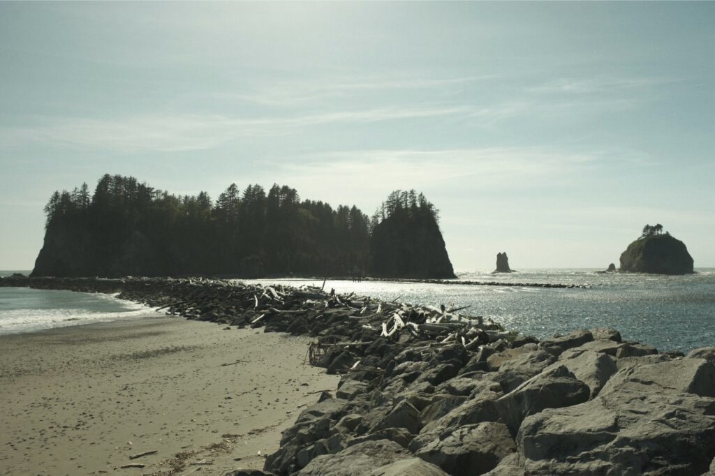
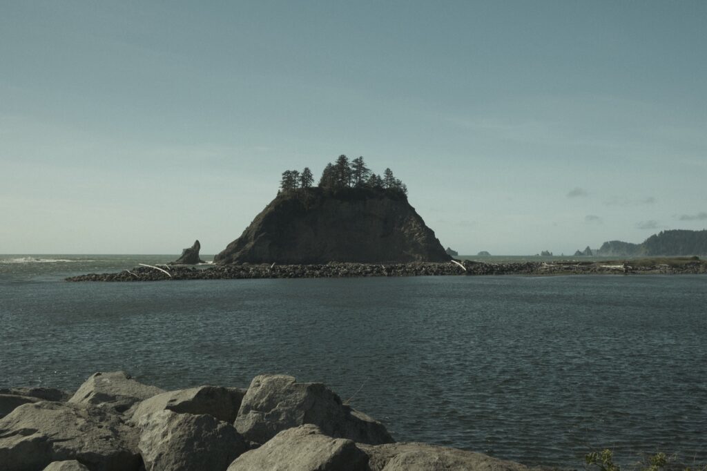
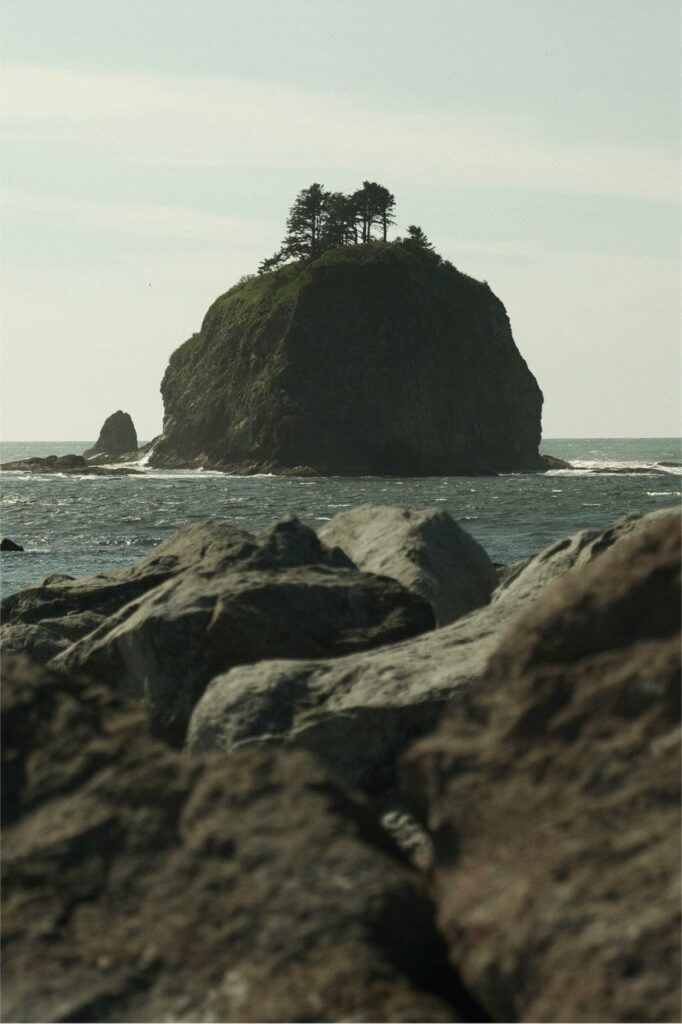
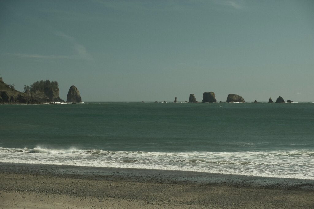
First Beach in La Push is another beach that I didn’t explore too in depth. Despite it being a sunny day in May, the weather in La Push was EXTREMELY windy (like obnoxiously windy) and I was tired from hiking all day. So instead, I parked at James Island View Point right next to First Beach and captured the islands in the distance. This is another area that I want to go back to in the future. Aside from First Beach, there are also other surrounding La Push beaches, such as Second Beach and Third Beach, that I would like to explore.
Mosses
Hoh Rainforest
Fujifilm X-T5: Lente Bok
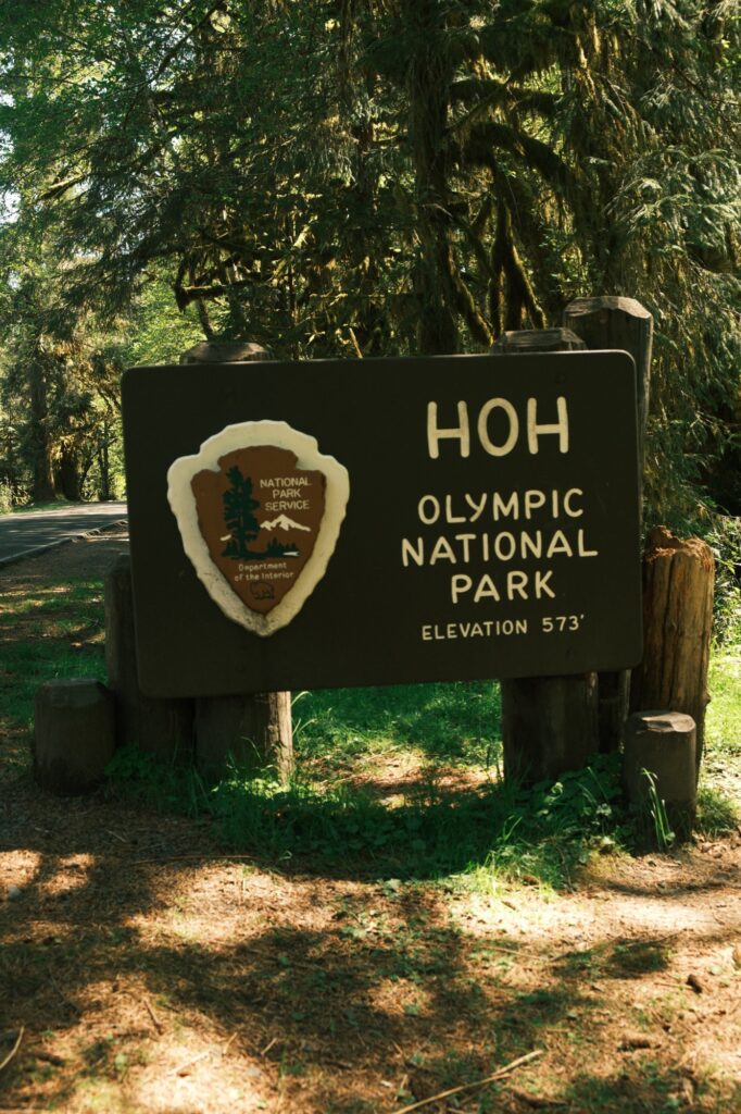
Hoh Rainforest is the wettest forest in the Contiguous United States, receiving an average of 140 inches of rain per year. This plethora of precipitation results in a lush, green canopy of both coniferous and deciduous species. In 2021 the rainforest drew in almost 3 million visitors. Despite its popularity, Hoh is home to one of twelve “quiet zones” remaining in the U.S. Marked by a red pebble, this quiet spot is located three miles up the Hoh River Trail. This spot is part of an independent research project, One Square Inch of Silence, created by the author and Emmy Award-winning acoustic ecologist Gordon Hempton. One Square Inch of Silence is supposed to be a place utterly devoid of manmade noises and aims to protect the space from human noise intrusions. By protecting the square inch from noise pollution, it becomes necessary to preserve the entire surrounding national park as well.
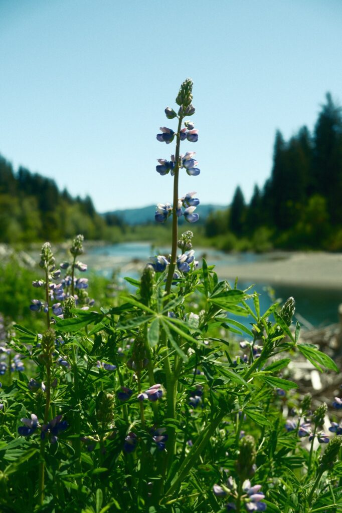
There are three main trails located within Hoh Rainforest. Two of the most popular trails are Hall of Mosses and Spruce Nature Trail, both of which are only two miles total when combined. The third trail, Hoh River Trail, is less popular because it is over 10 miles long and takes you straight into the wilderness. The trailhead for all of these trails is located at the very end of Hoh Valley Road, a 30ish minute drive from Highway 101. Since Hoh is popular, I recommend getting there early to beat the crowds. Forks, the town that inspired Twilight, is a fantastic place to stay that is about one hour away Hoh. There are many restaurants and cheap lodging options within Forks. If you are wanting to stay somewhere closer to Hoh that is cozier and offers the rainforest ambiance, I would check out Hoh River Valley Cabins (this is where I stayed when I visited Hoh Rainforest).
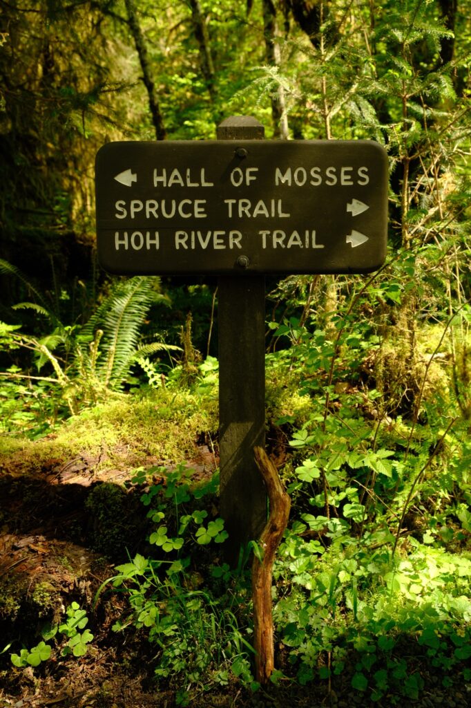
Hall of Mosses
Hall of Mosses is only 0.8 miles long with an extremely low elevation gain of about 100 feet. Although this trail is short, it fully immerses you in the rainforest so you can get a taste of Hoh Rainforest in a short amount of time. When you follow this loop going clockwise the first thing that you will encounter is a wooden bridge that takes you over a mossy pond.
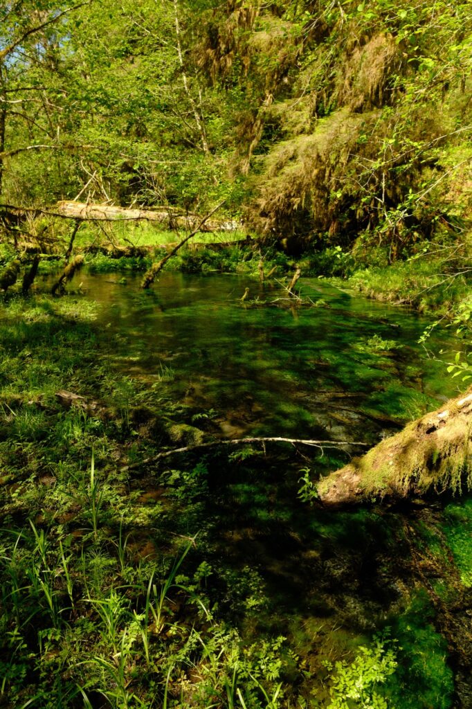
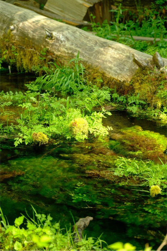
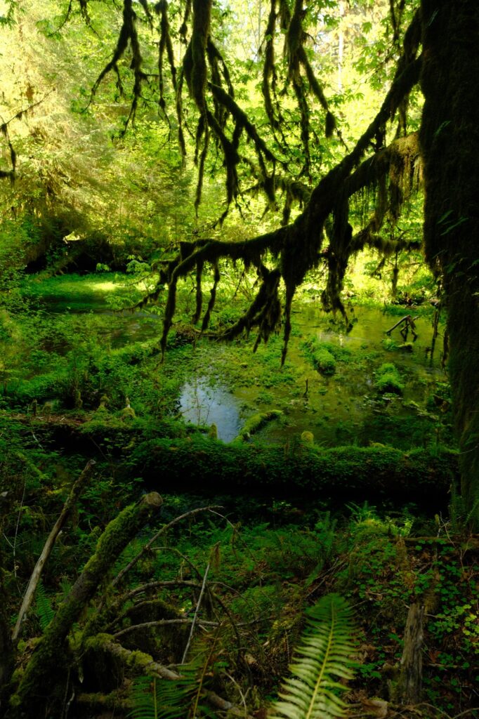
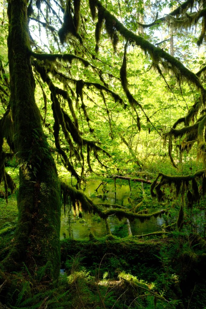
There is a small hill after the pond that takes you deeper into the rainforest. The path is very easy to follow, but do not stray from it. If you go off trail you will damage the rainforest’s delicate ecosystem.
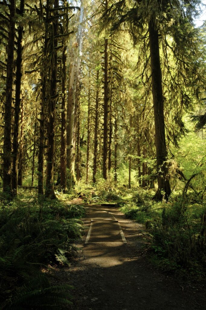
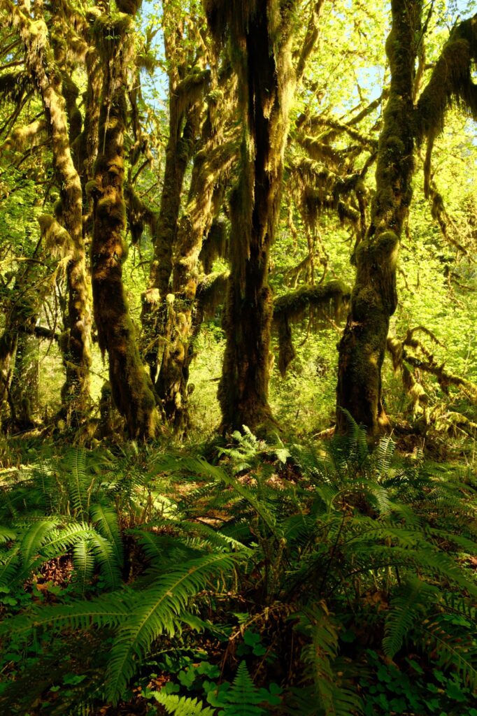
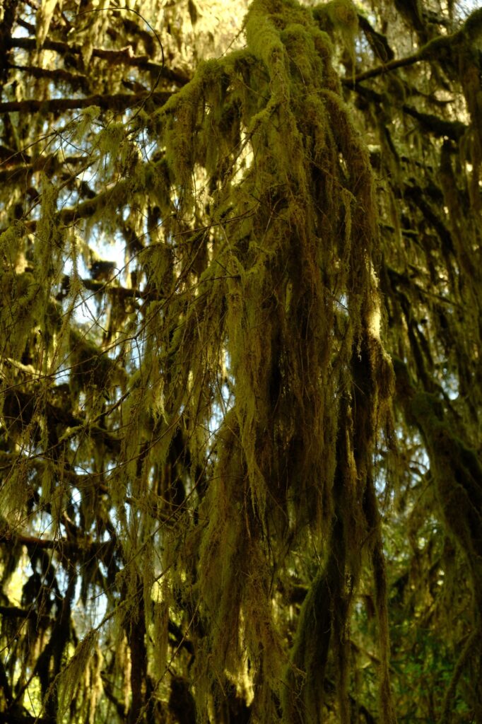
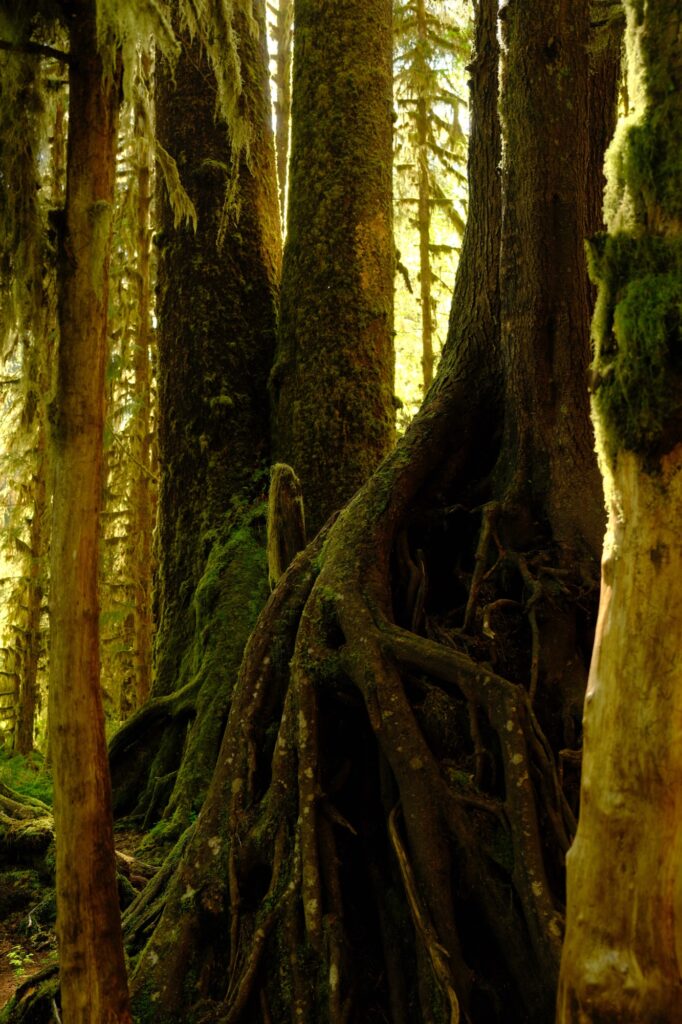
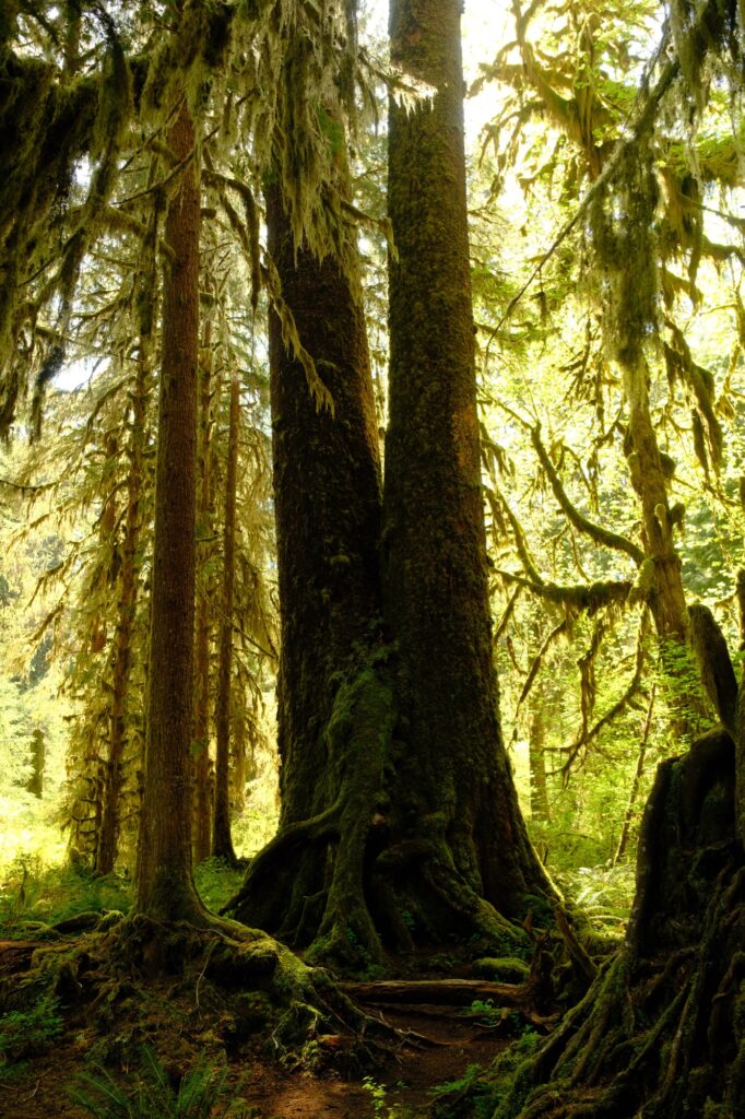
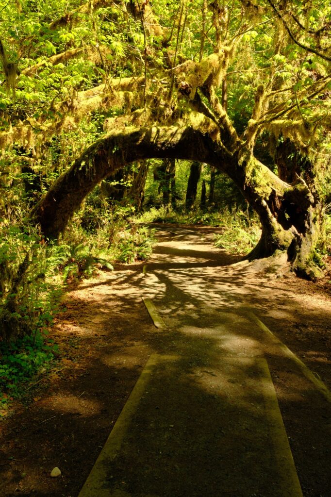
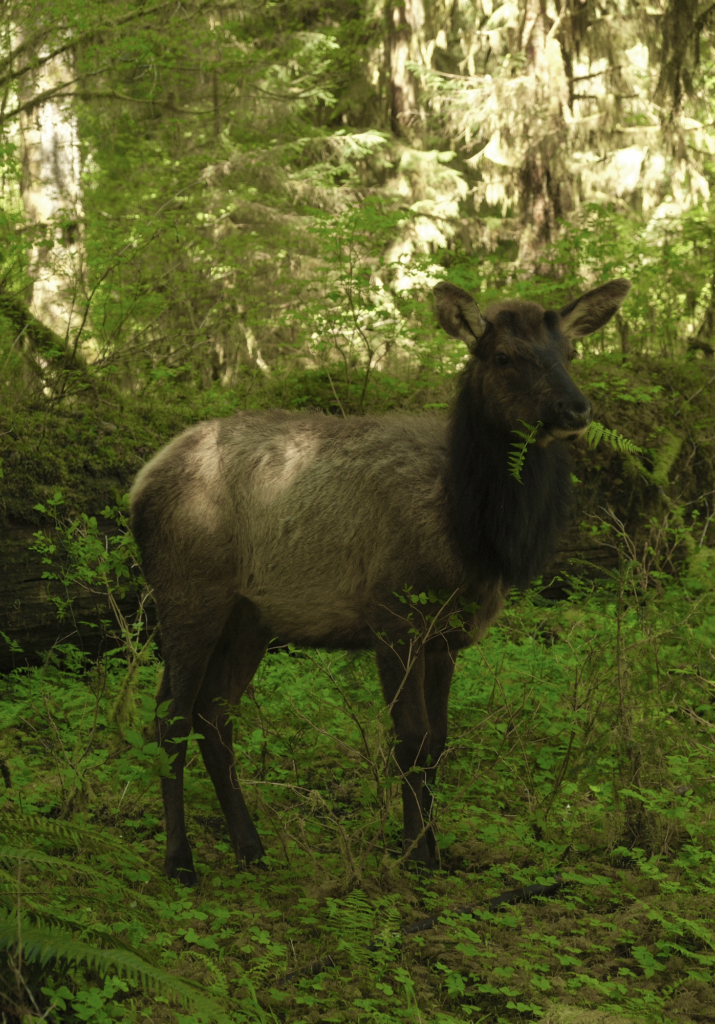
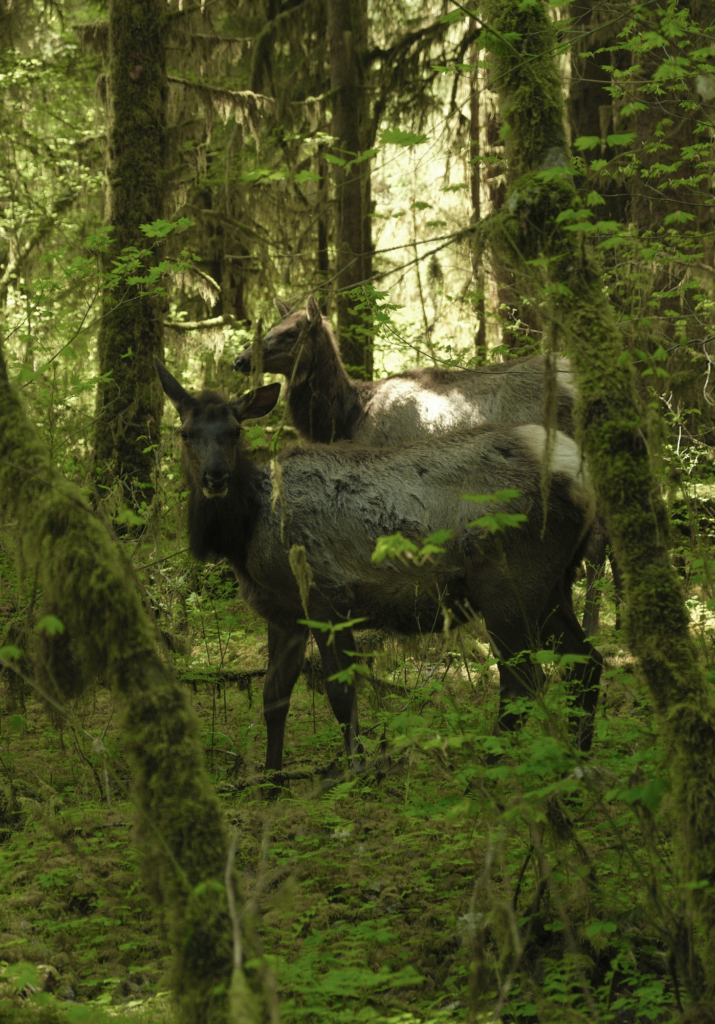
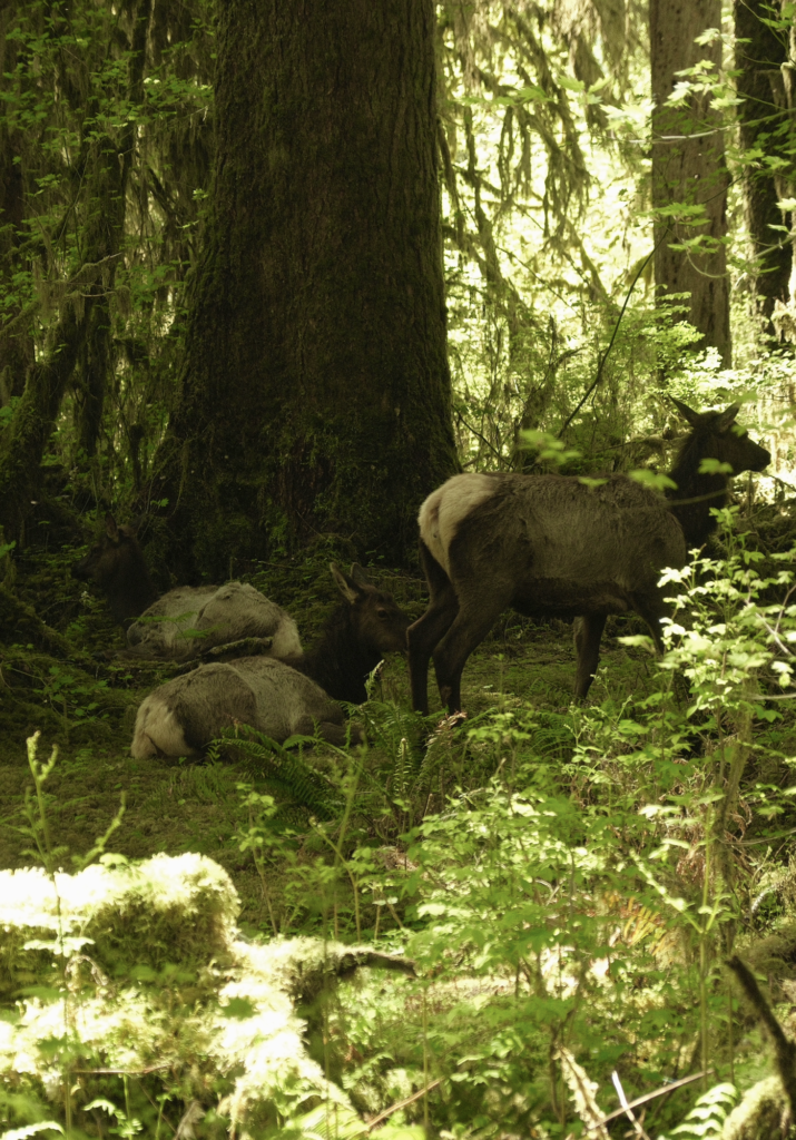
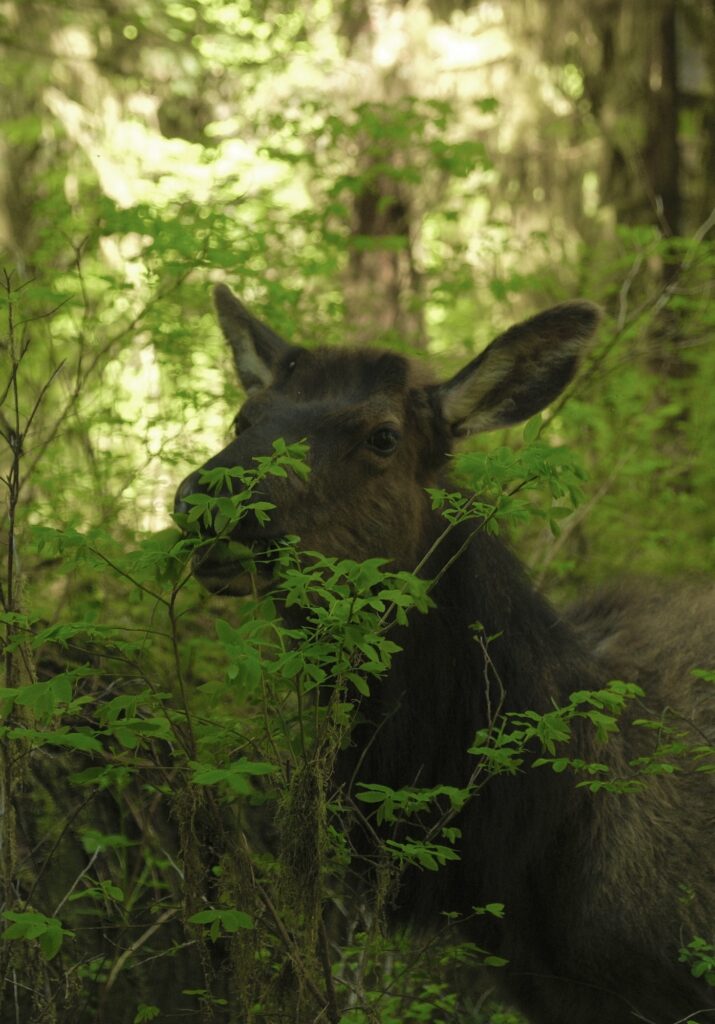
My favorite thing about the Hall of Mosses trail was stumbling upon unexpected guests (although technically I was the guest because it wasn’t my home). Right near the end of the trail a herd of Roosevelt Elk were lounging around and munching on the surrounding vegetation. I almost didn’t see them at first because I was zoning out looking at moss hanging from branches above. When I finally saw them, I immediately stopped in my tracks because they were literally feet away from the trail. I was stunned that they were so close to me! They kept a warry eye on me, but I assured them with my slow quiet movements that I meant them no harm. I spend about 15 minutes watching them and capturing their best angles. I counted six of them, but there might have been more hiding.
Spruce Nature Trail
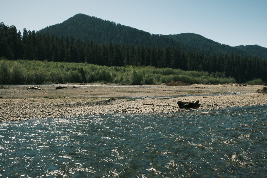
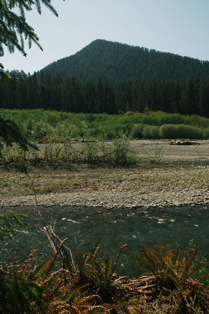
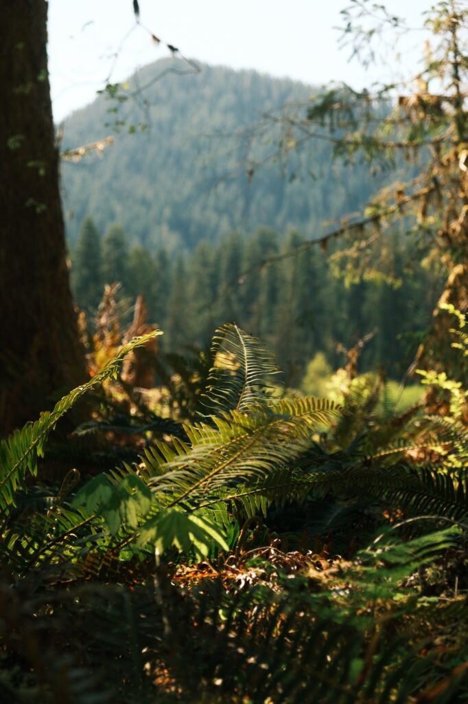
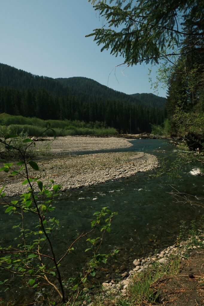
In addition to winding you through the rainforest, like Hall of Mosses does, Spruce Nature Trail also takes you along Hoh River. This trail is slightly longer at 1.2 miles, but it is very easy. Completing both trails took me about 2 hours, but I was stopping a lot to take pictures. If you only have time to do one trail, I recommend Hall of Mosses because it is shorter and is a classic. Spruce Nature Trail is still worth it though if you have time to do both.
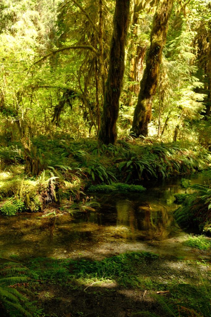
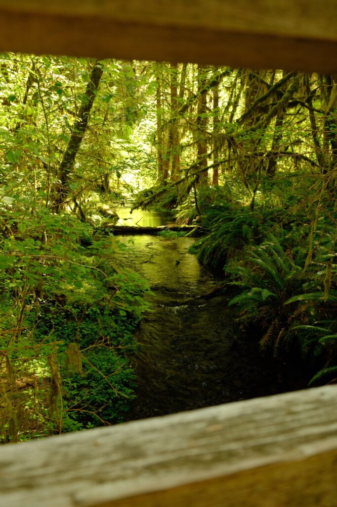
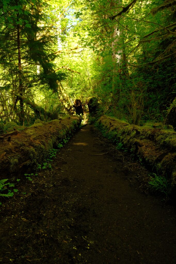
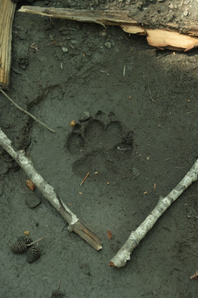
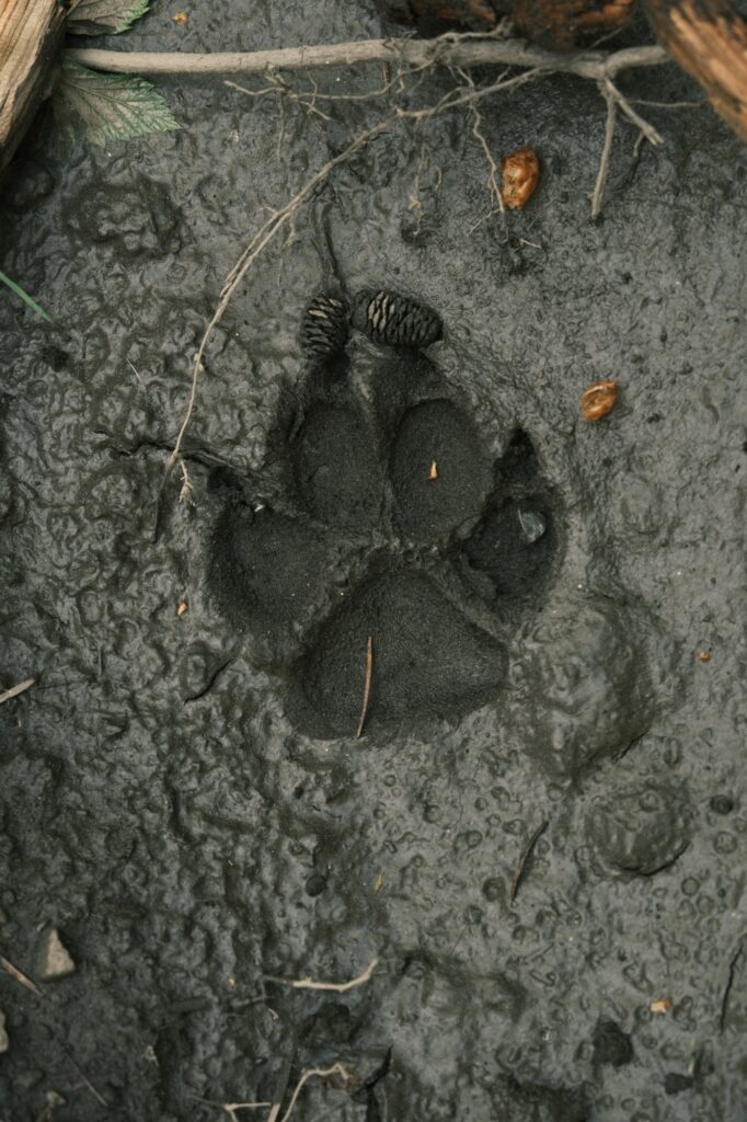
Near the river I heard someone talking about cougar tracks they had found in the mud. I looked around until I found them, excited to capture pictures of them. When I got back home and showed my boyfriend the pictures and told him the story, he laughed and said they were dog tracks. He showed me a picture comparing cougar tracks vs dog tracks. I included a picture below showing the difference between cougar tracks and dog tracks for those of you who didn’t know (like me!). I know that dogs aren’t allowed in Hoh Rainforest, but maybe someone had brought their service dog and were given permission to bring in into the rainforest. What kind of animal do you think these tracks belong to?

Ruby Beach
Ruby Beach
Fujifilm X-T5: Vintage Film
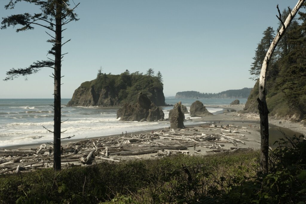
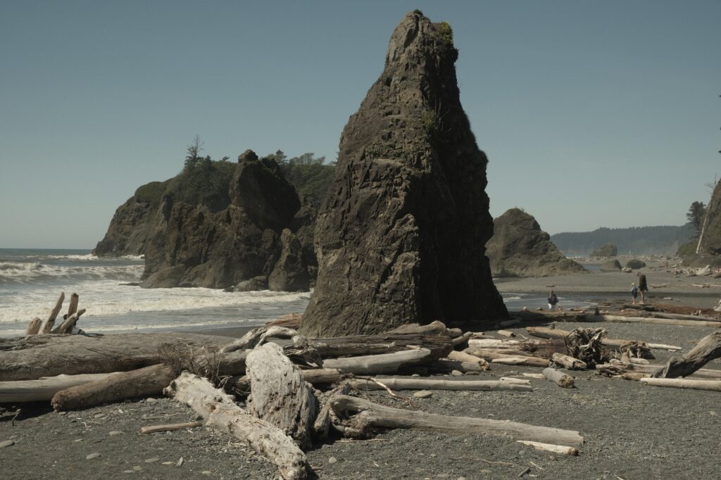
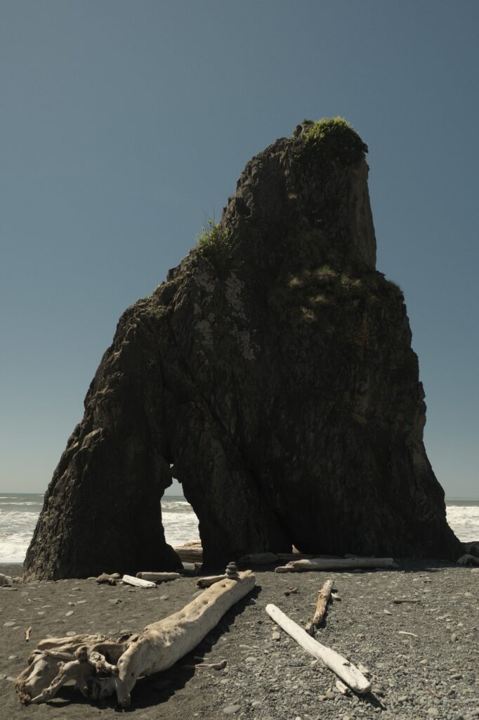
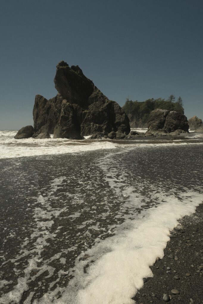
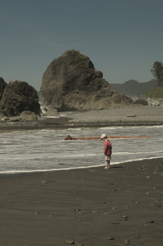
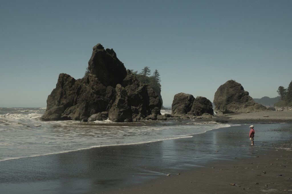
The best time to visit Ruby Beach, as with most beaches, is at low tide. During low tide, it is possible to observe starfish, crabs, and other sea life among the tide pools and sea stacks, as well as explore the sand bar leading out to Abbey Island. The beach is a short walk downhill from the parking lot. Abbey Island peeks at you through the surrounding foliage on your decent.
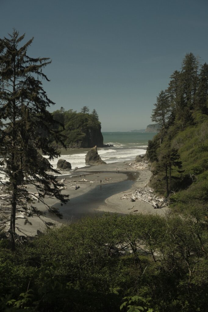
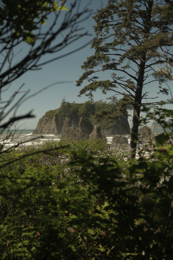
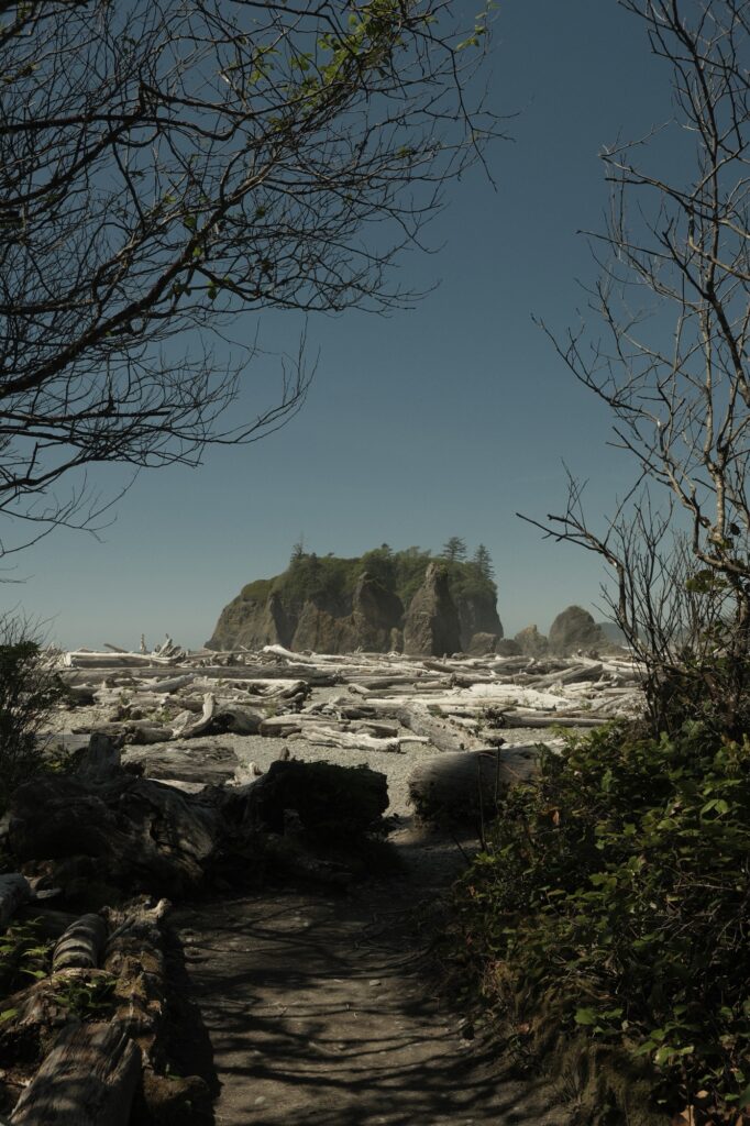
The beach stretches for miles in either direction. You can either explore the area around the sea stacks, or trek further down the beach for more seclusion. It is common to see children playing in the large pool of water fed by Cedar Creek at the base of the trail or near the sea stacks. I saw a little boy standing by the sea stacks for over 10 minutes watching as the waves came close to his feet.
Tree of life
Tree of Life
Fujifilm X-T5: Vintage Film
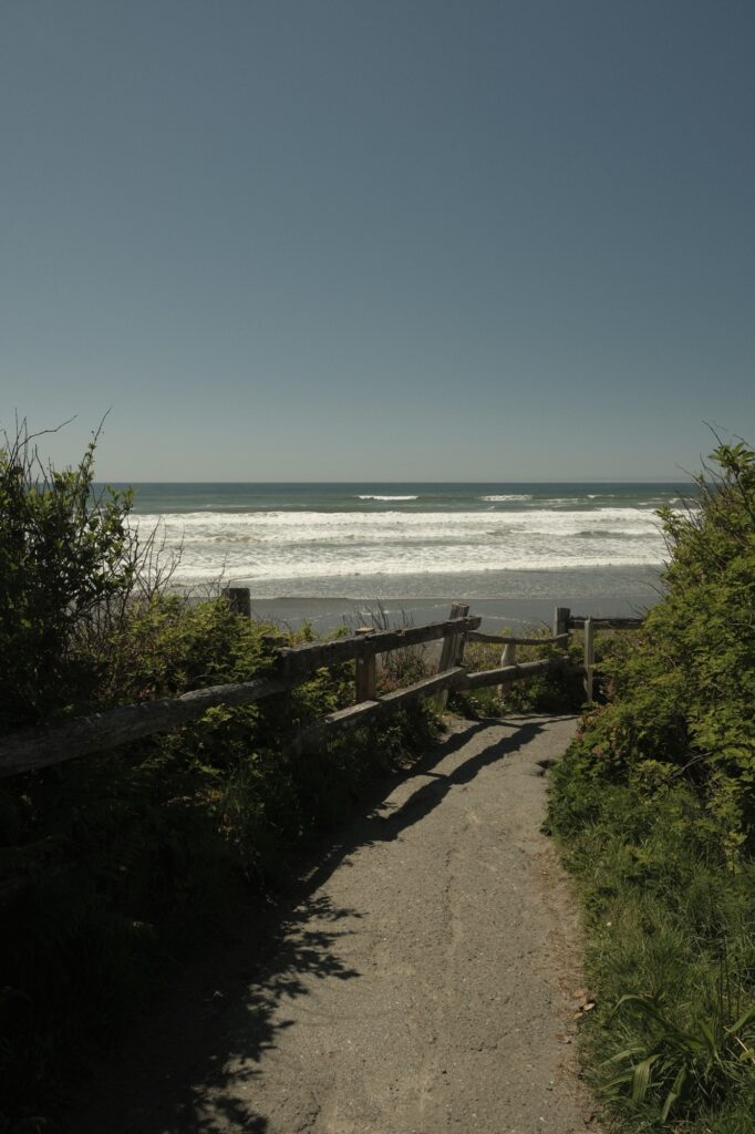
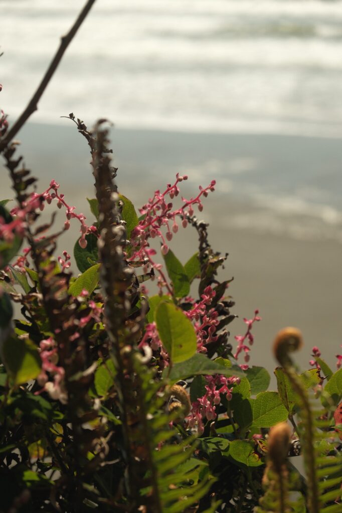
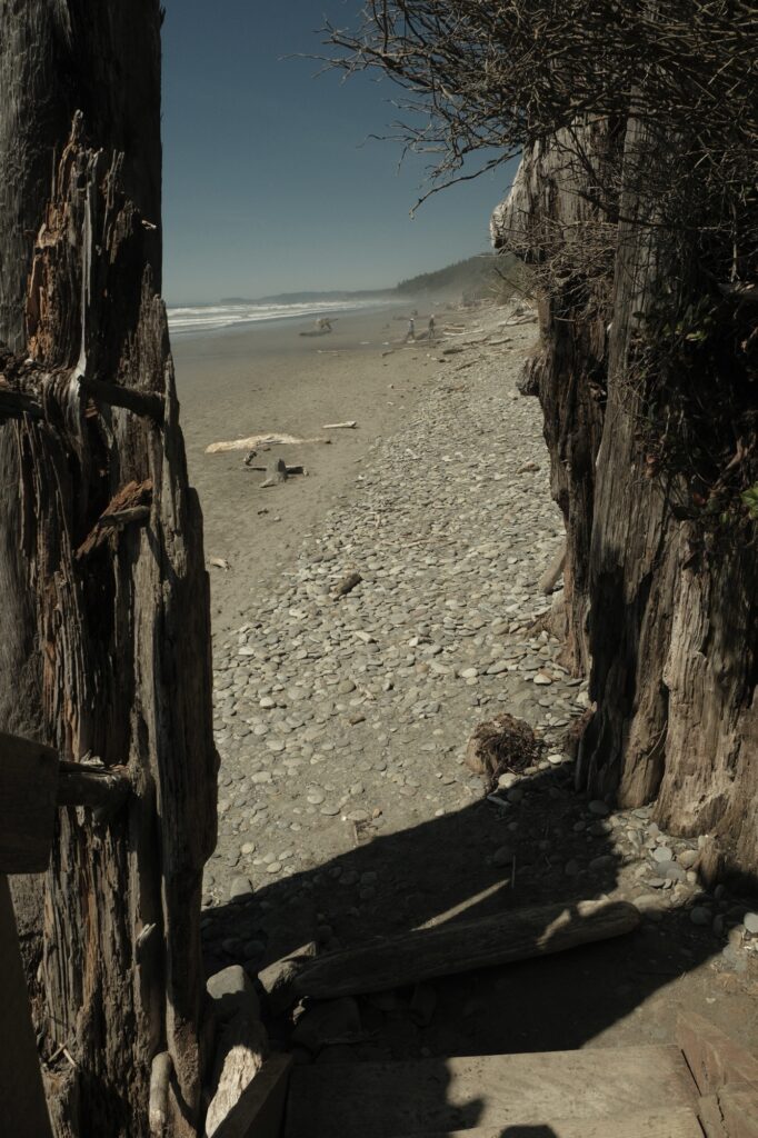
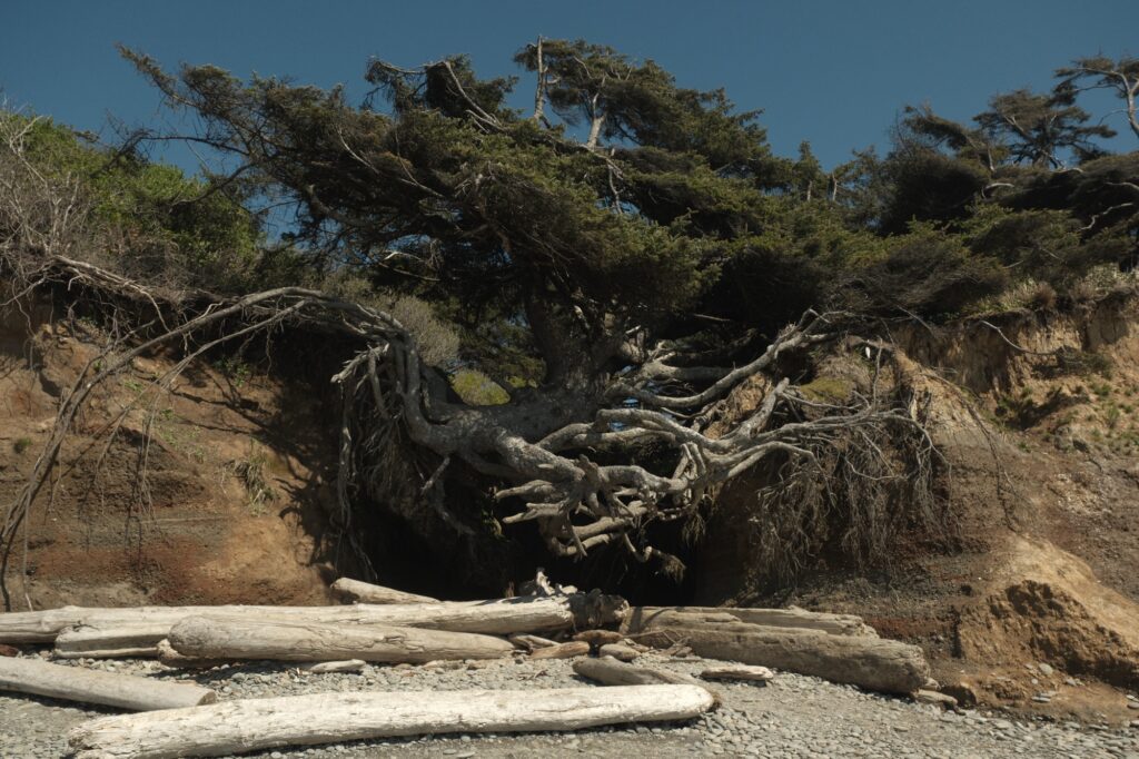
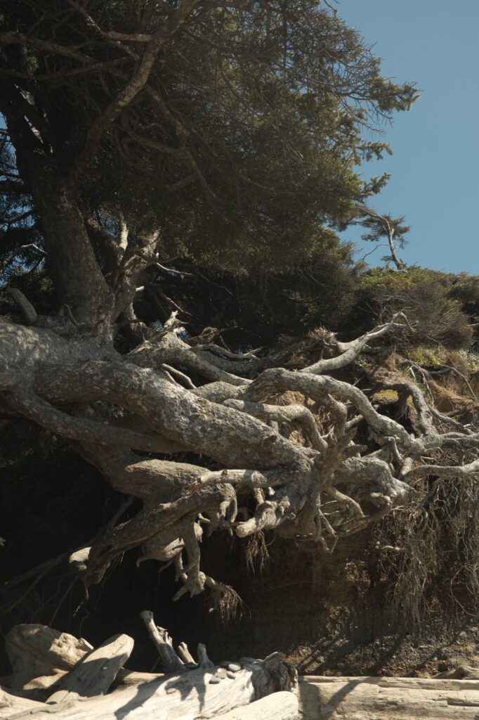
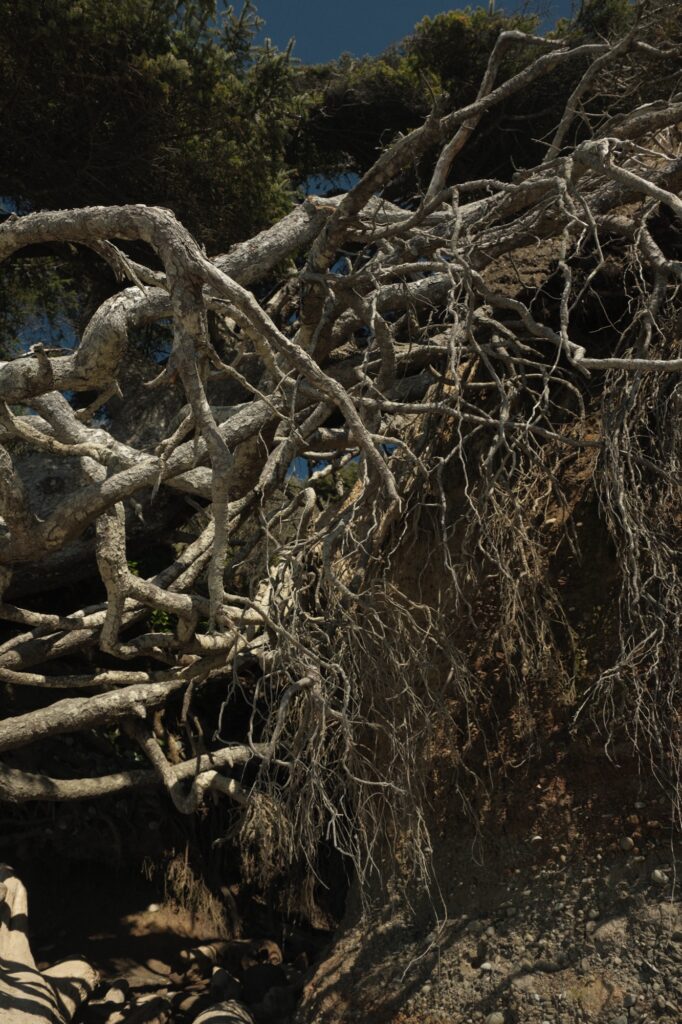
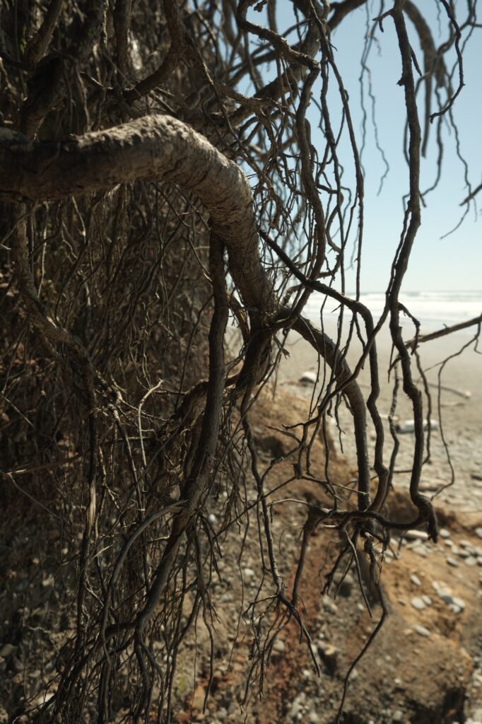
The Tree of Life, also known as the Kalaloch Tree, runaway tree, or magical tree, is a Sitka spruce, the largest type of spruce. What’s so unique about this tree? It is literally clinging to the eroding coastal bluff by winding thick roots. Over decades, erosion from the small stream flowing from behind the tree and into the ocean has completely weathered away the ground underneath it. Every year people flock to this tree to see if it has finally fallen. Despite all odds, the tree is still standing today, although its sagging has become more noticeable in recent years. The Tree of Life is a short walk down the hill from the parking lot. Once you are on the beach you will be able to see the tree hanging on for dear life in front of you.
Lake Quinault & Quinault Rainforest
Lake Quinault
Fujifilm X-T5: 1970s Summer
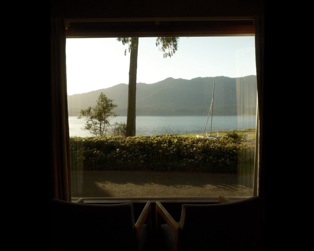
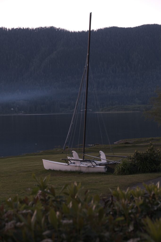
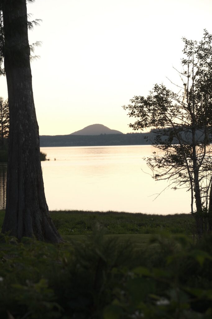
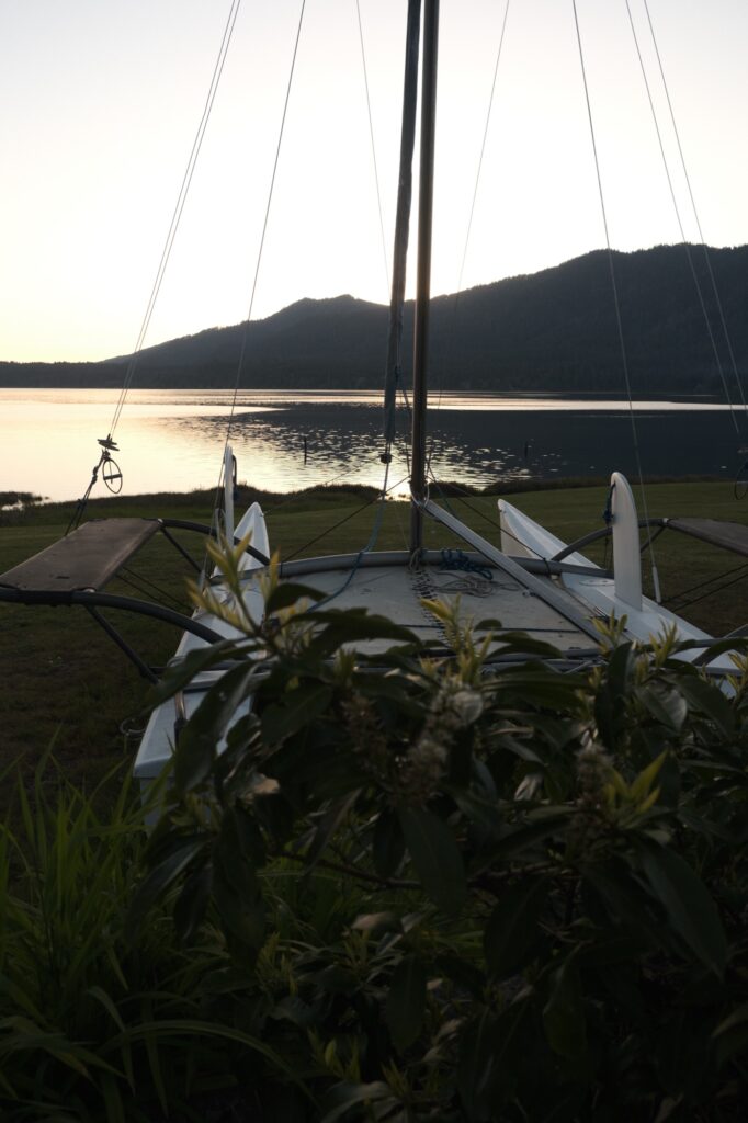
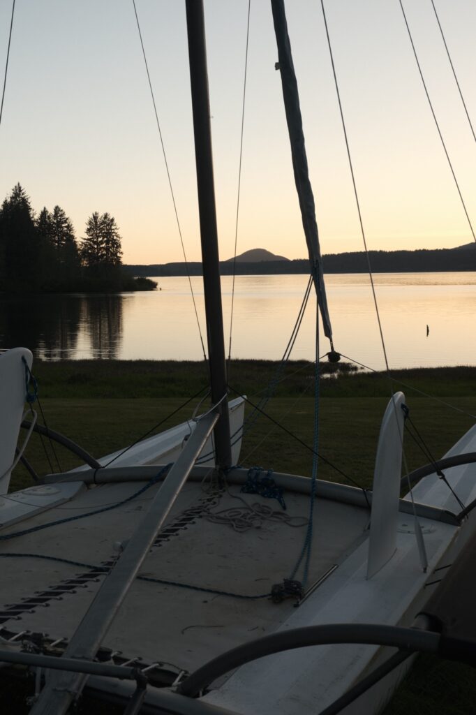
Out of all of the places that I’ve stopped at on the Olympic Peninsula, Lake Quinault is my favorite. A lot of my love for the area is contributed to the hotel that I stayed at when I was there, the Rain Forest Resort Village. You have views of this lake straight from your room! Lake Quinault was one of the least crowded places that I saw, making it feel quainter and more relaxing. Aside from the obvious water activities you can do on a lake, Lake Quinault is surrounded by multiple hiking trails, waterfalls, and the Quinault Rainforest Loop Drive that takes you along North Shore Road and South Shore Road. I completed this drive when I visited Lake Quinault and made three different stops along the road going counterclockwise: Merriman Falls, Bunch Falls, and Kestner Homestead Trailhead. These spots are easily found on google maps but be aware that you will not have service on this loop, so make sure you download an offline map. Also, a majority of the road is not paved and is fairly bumpy, so take it slow or bring a larger vehicle.
Merriman Falls
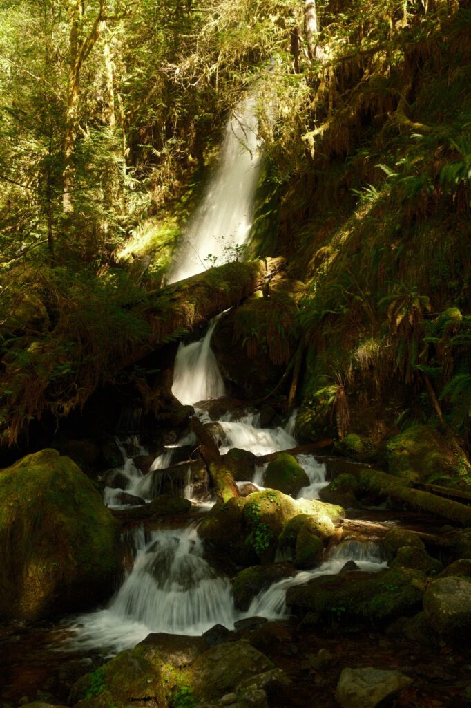
Merriman Falls is located on the south side of the loop. It is right off the road, so there is no hiking needed to see it. You can walk along two short trails on either side of the falls to get closer to it.
Bunch Falls
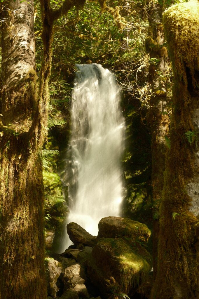
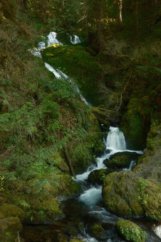
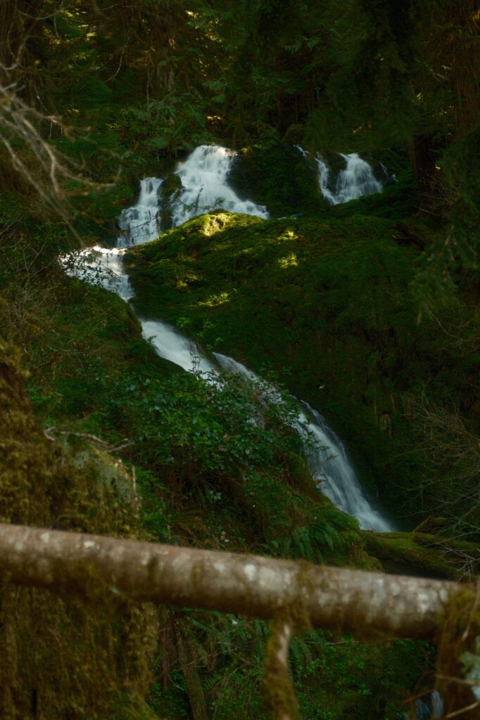
As with Merriman Falls, Bunch Falls is also located right off the road. There were a lot of downed trees surrounding the falls that made climbing close to it very difficult. A few minutes past Bunch Falls, the loop continues on the left fork in the road that crosses over North Fork Quinault River.
Kestner Homestead
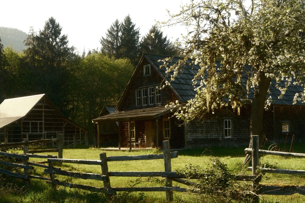
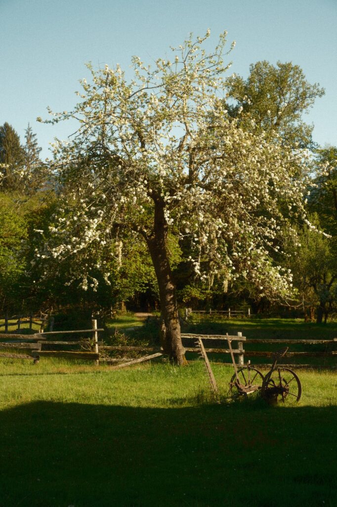
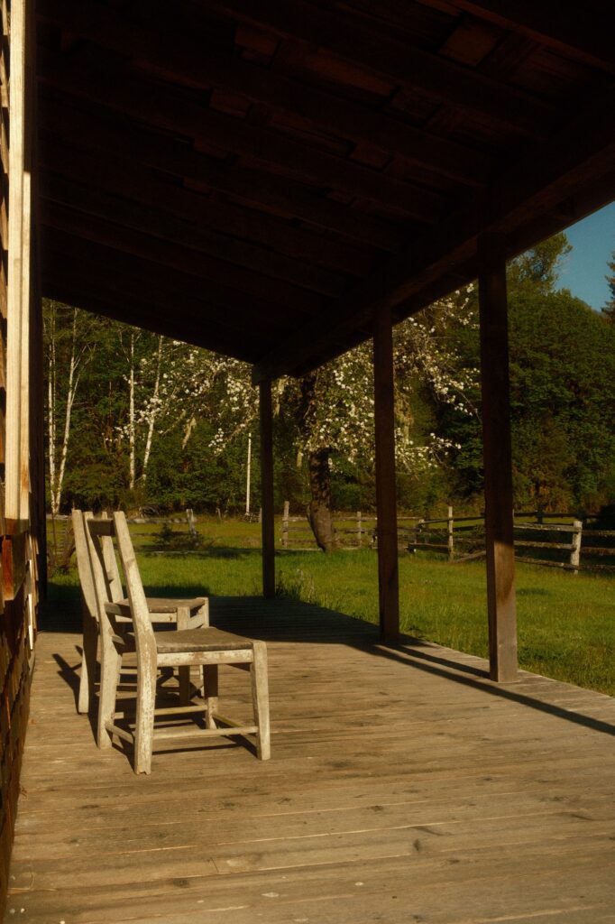
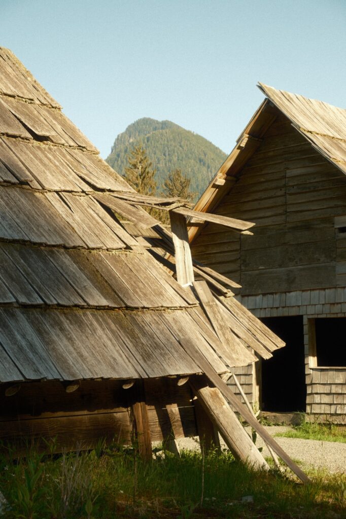
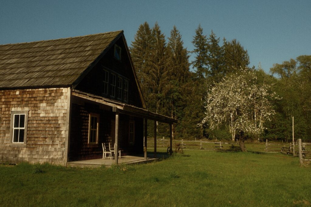
Kestner Homestead has been standing since the 1800s. There are two ways to get to this homestead. You can either park at the Quinault Rain Forest Ranger Station and hike 1.3 miles roundtrip to the homestead, or you can park north of that where it says “Kestner Homestead Parking” on google maps and walk the short distance to the homestead from the gate (I went this way).
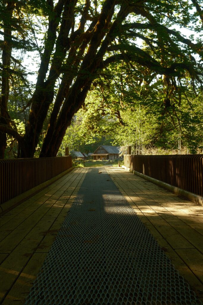
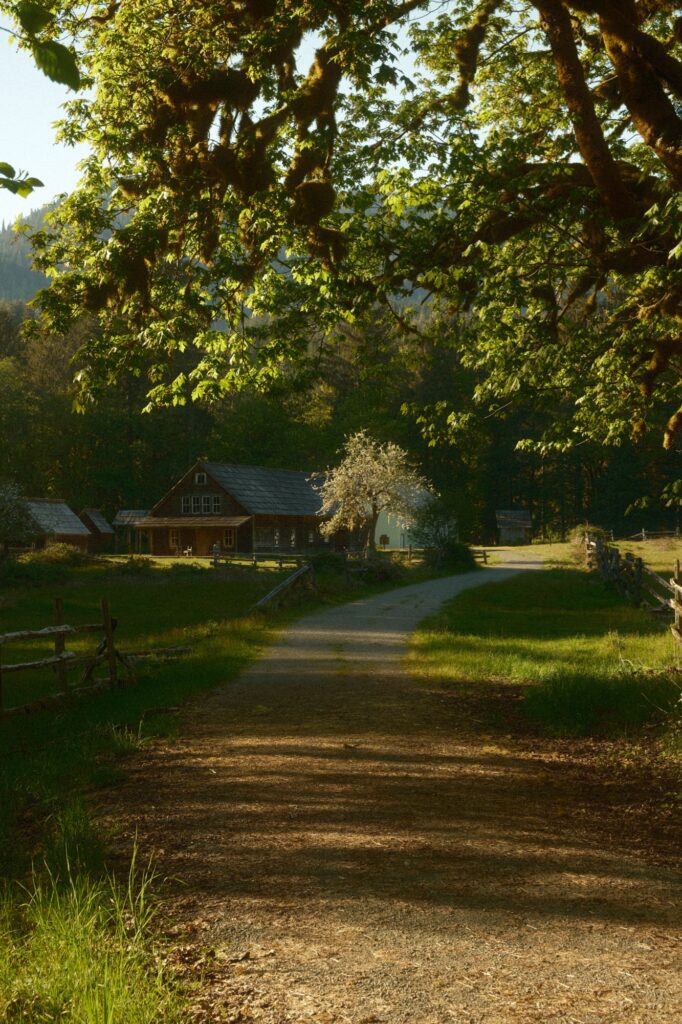
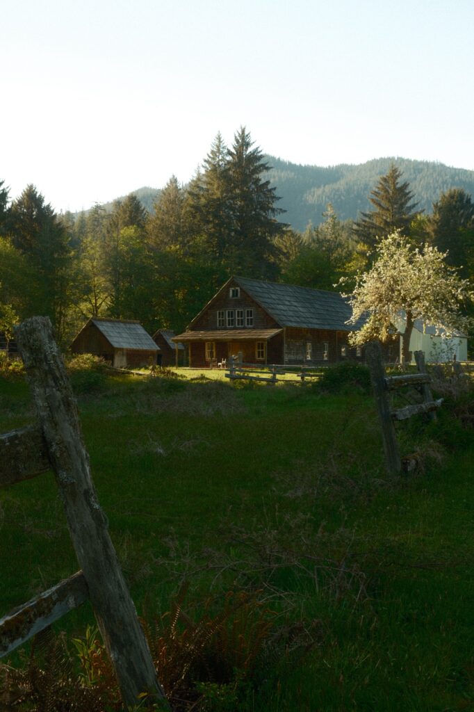
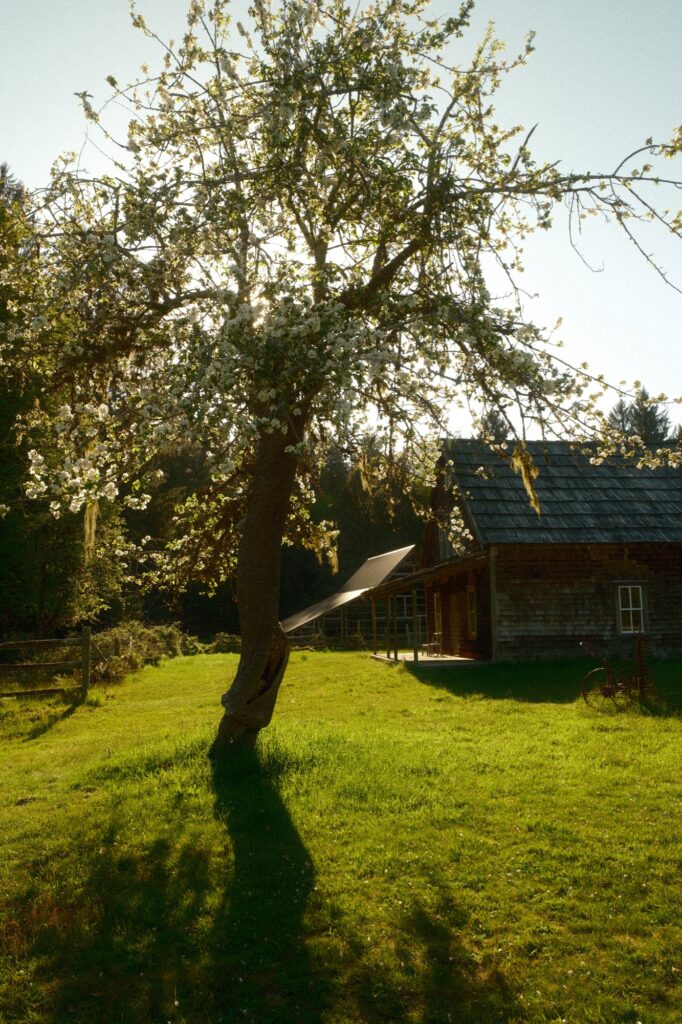
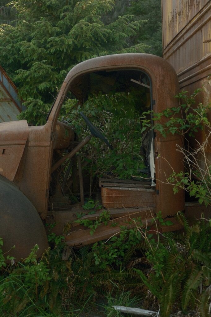
You aren’t able to access any of the buildings at the homestead, but you are free to roam around the property. I love abandoned buildings and the “creepy factor” they have. This homestead was indeed very creepy because I was the only one walking around and the sun was close to setting. It had a beautifully eerie feel to it.
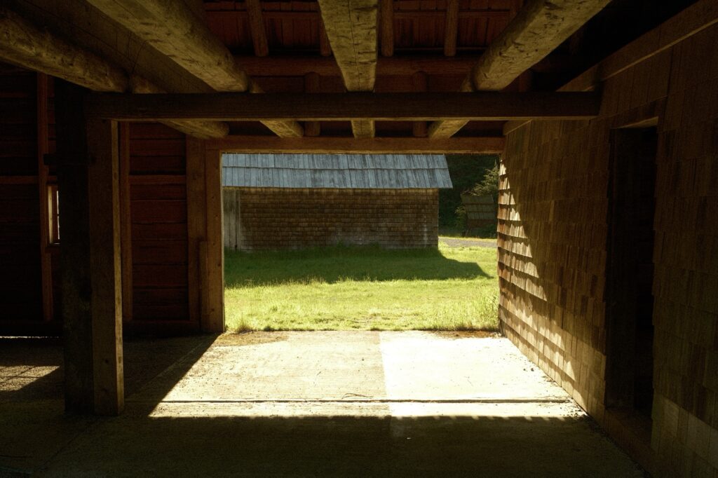


Note for the reader: I share these locations so that others can see beautiful places and enjoy nature as much as I do. Please be respectful of the outdoors and what condition it is in when you visit. Don’t go off trail, leave no trace, and pack out what you came in with.
