Iron Goat Trail & Wellington Ghost Town
Hiked multiple times from 2022-2024
Wellington was founded in 1893 at the west portal of the Cascade Tunnel along the Great Northern Railway. The town included a train depot that was unfortunately destined to become the site of the deadliest avalanche in U.S. history. During the early morning hours of March 1, 1910, an avalanche tumbled down Windy Mountain into two trains that had been stuck at Wellington Depot for nine days in a blizzard. The avalanche swept everything in its path 150 feet down the hill into Tye River valley. 96 people were killed in this accident with only 23 survivors. Following this accident, the town of Wellington was renamed to Tye (to ease the fears of travelers who associated the name Wellington with the accident) and snowsheds were built to protect the rails and passing trains from future avalanches. Some of these sheds are still standing today. Tye/Wellington was abandoned in 1929 when the second Cascade Tunnel was completed in a safer location, which is still in use today.
The abandoned town of Wellington, snowsheds, tunnels, and the site of the avalanche can be explored today by walking along connected trails. The trail is split up into two sections: Iron Goat Trail and Wellington Ghost Town. These two areas can either be accessed individually by a short 17-minute drive (from the east parking lot at Iron Goat) or you can complete the 4-mile one way trail that connects them. Personally, I haven’t walked the 4 miles between them because Iron Goat Trail is a 7-mile loop. So, walking the entire loop and then walking another 4 miles one way on top of that is a lot of walking in my opinion. The Wellington side of the trail is only 2 miles if you aren’t completing the 4-mile connection between the two trails. I’ll cover each section in depth. (In addition to my maps below, there is a more in-depth map of the area located on the back of the information board by the bathrooms in Wellington. My fiancé and I missed it at first because we didn’t think to walk around the entire information board as there was hardly any information on the front).
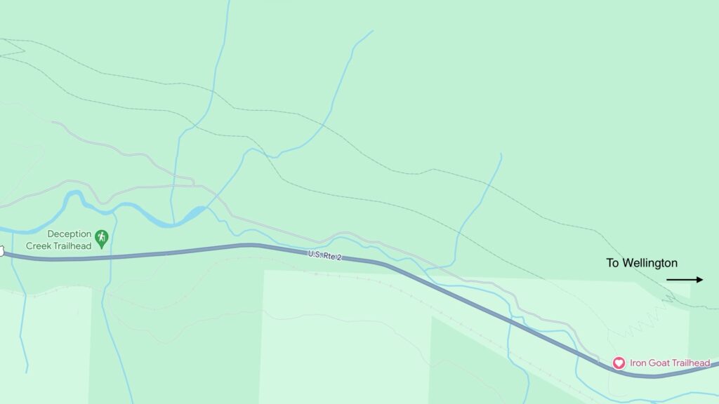

Iron Goat Trail
Iron Goat Trail is a 7-mile interpretive loop. You can access this trail either from the west end by the Iron Goat Rest Area or the east end by Martin Creek. We chose to start from the east end because it is closer to where we live. The trail has a lower and upper part, both about 3 miles, with 1 mile of switch backs connecting them from the east and a shallow grade connecting them from the west. If you don’t want to climb up the 1 mile of switch backs with about 700 feet of elevation gain, I recommend completing the loop by going clockwise like we did. Since this is an interpretive trail, there will be a lot of signs along the way that allow you to look into the history of the trail. You will quickly be greeted by these signs at the parking lot.
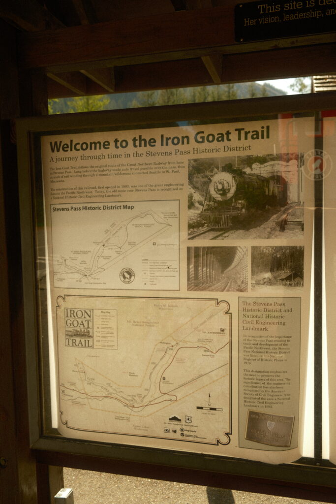
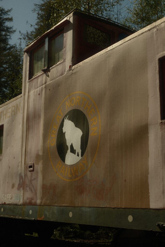
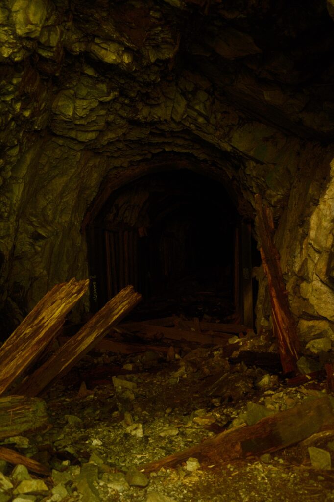
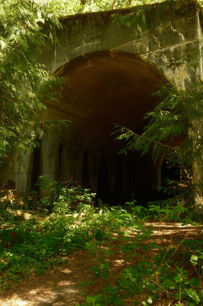
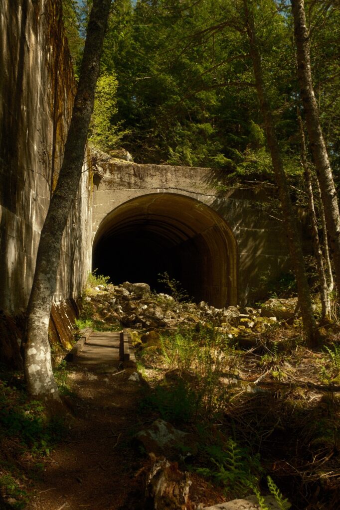
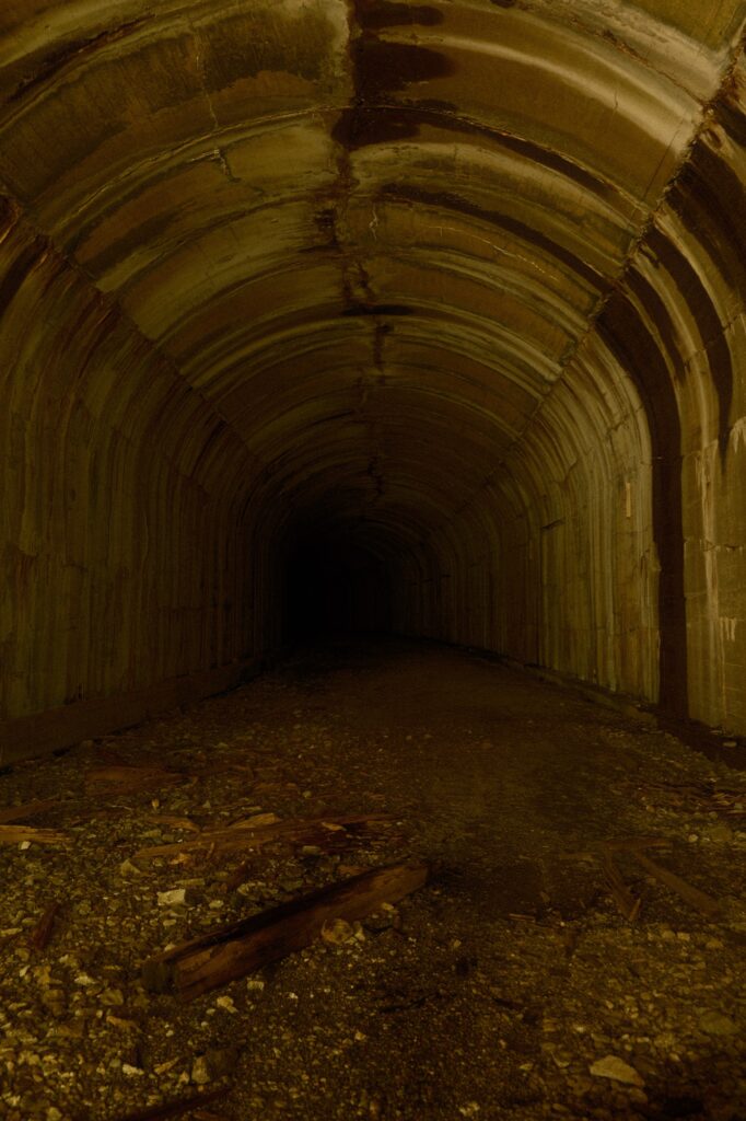
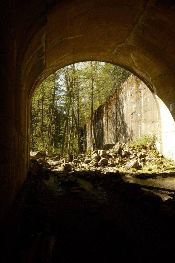
Once you start the lower half of the trail you will soon pass by water sheds and your first series of abandoned tunnels.
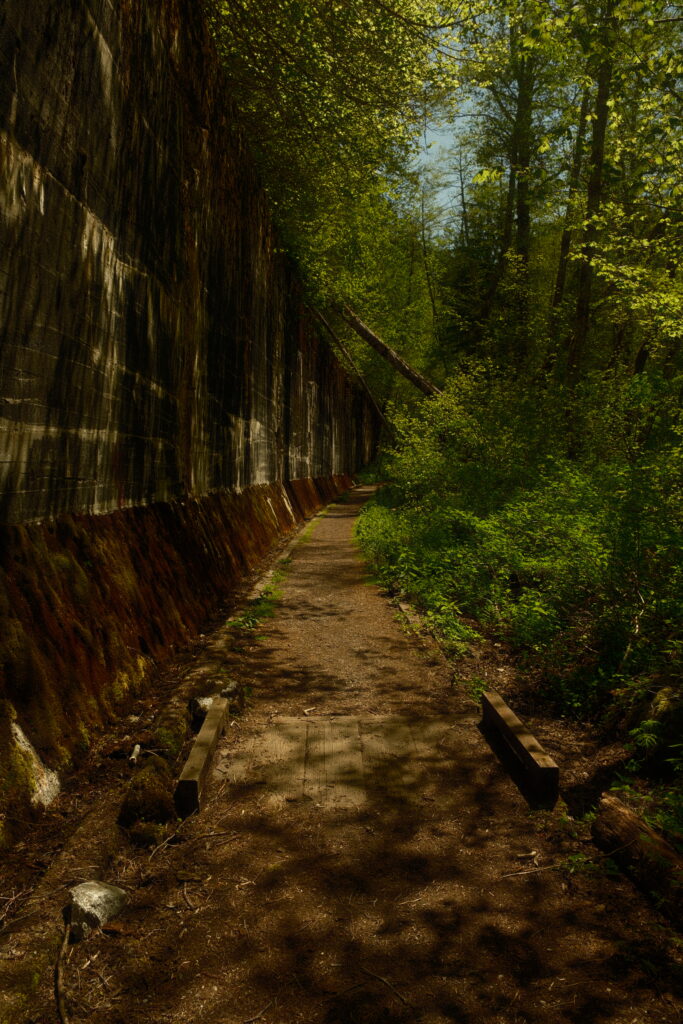
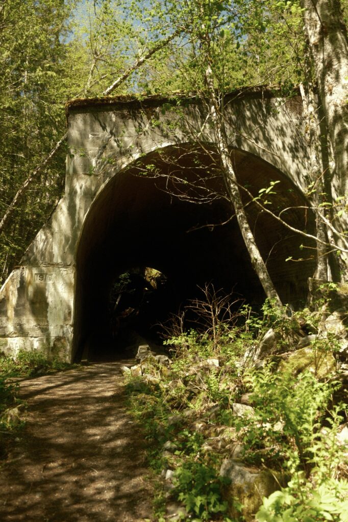
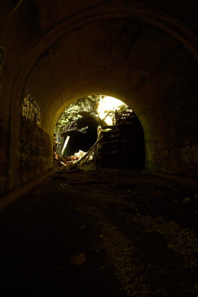
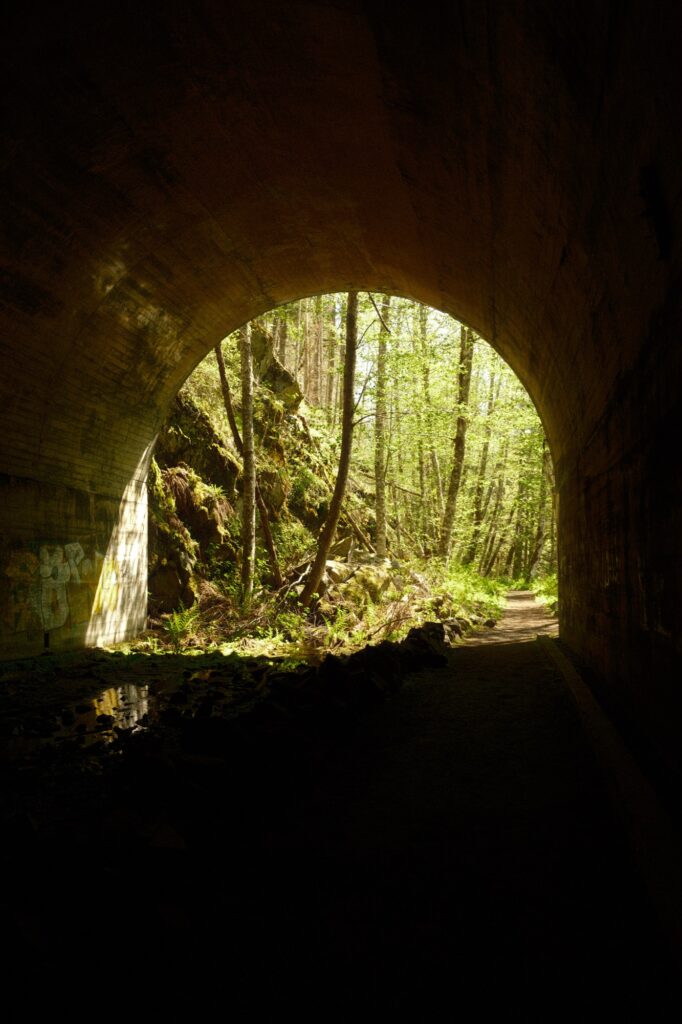
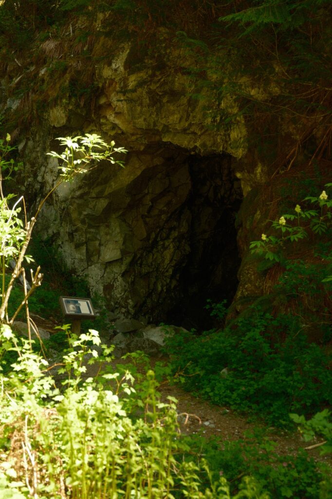
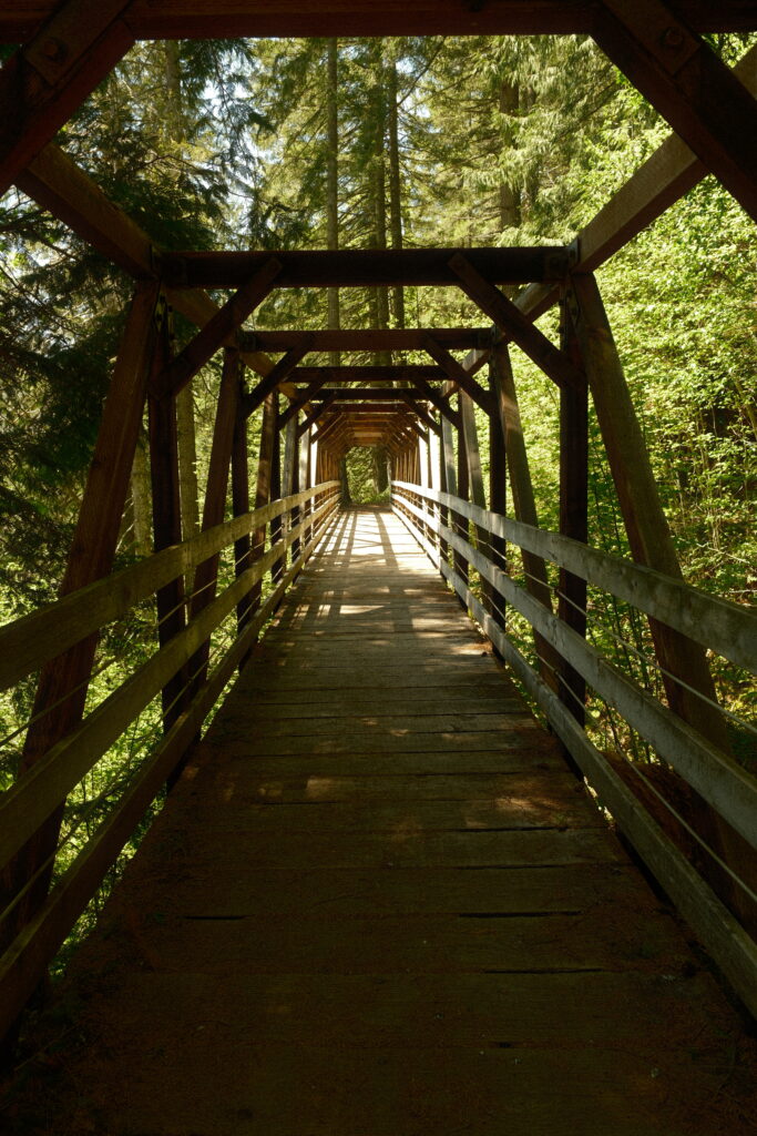
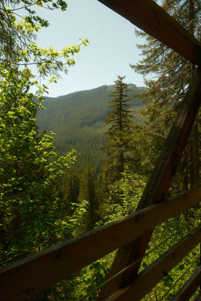
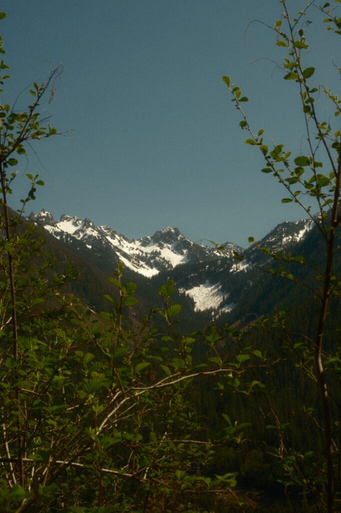
After a short walk you will come to a bridge with beautiful views of the mountain range.
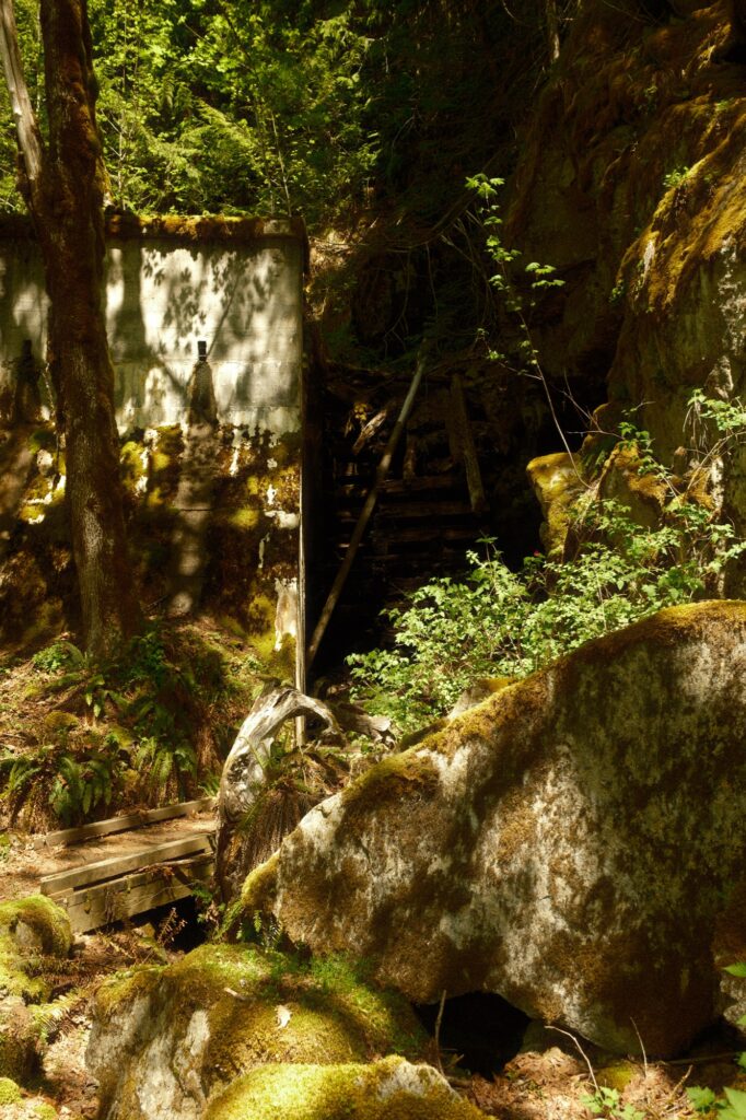
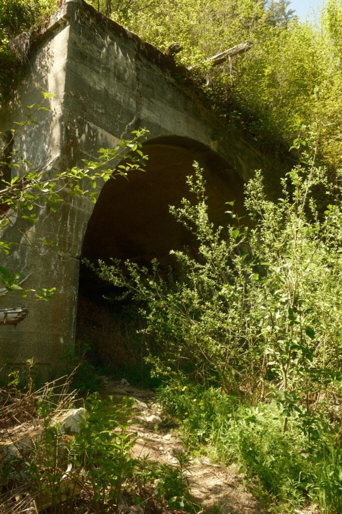
More tunnels wait for you after you cross this bridge.
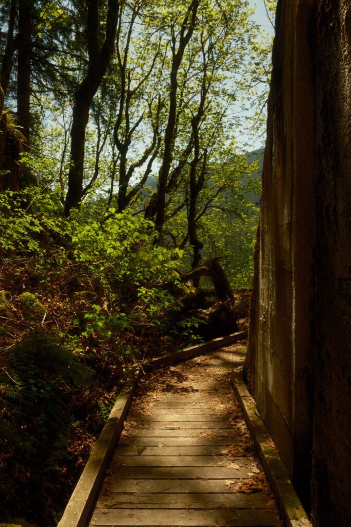
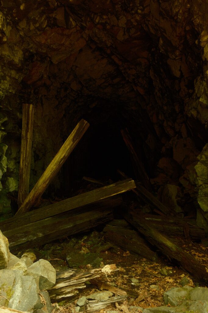
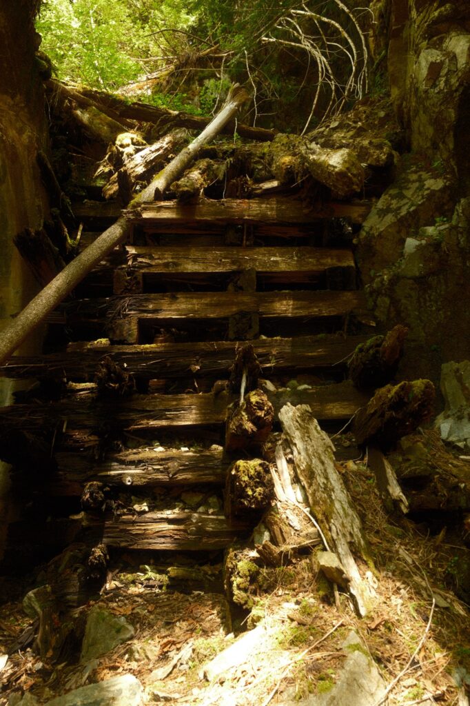
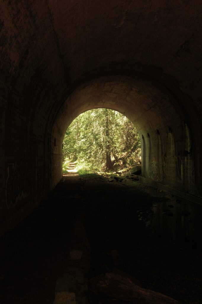
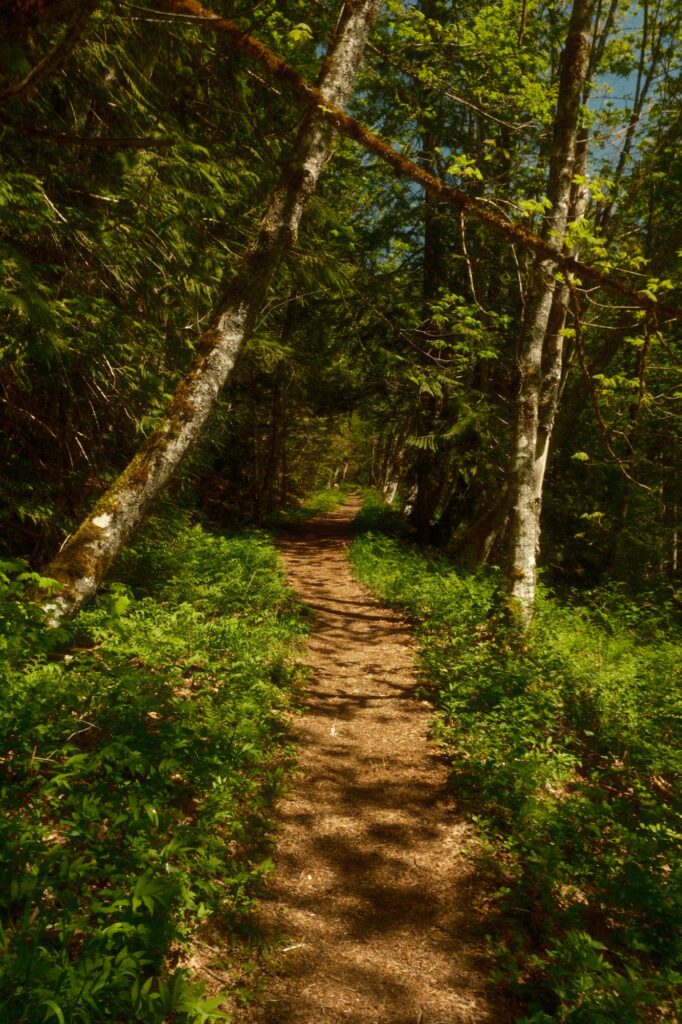
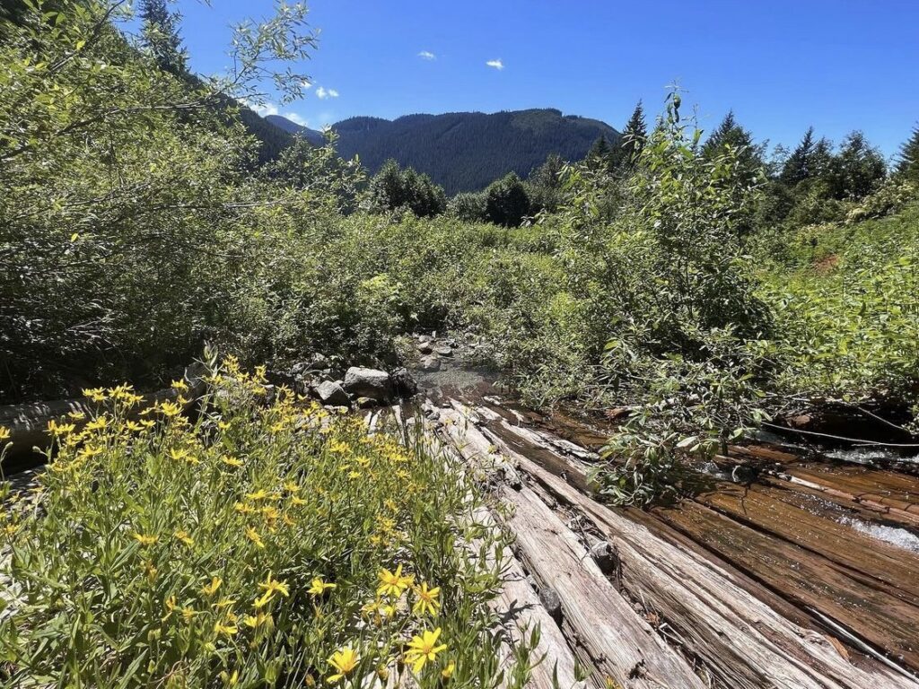
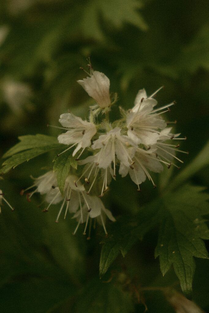
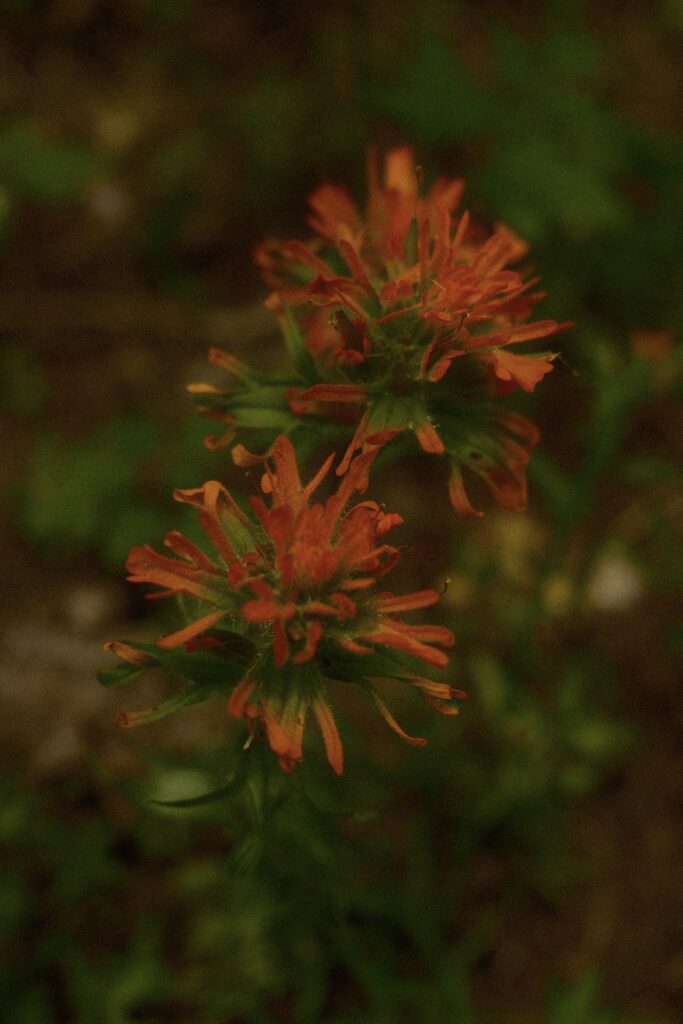
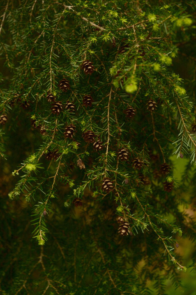
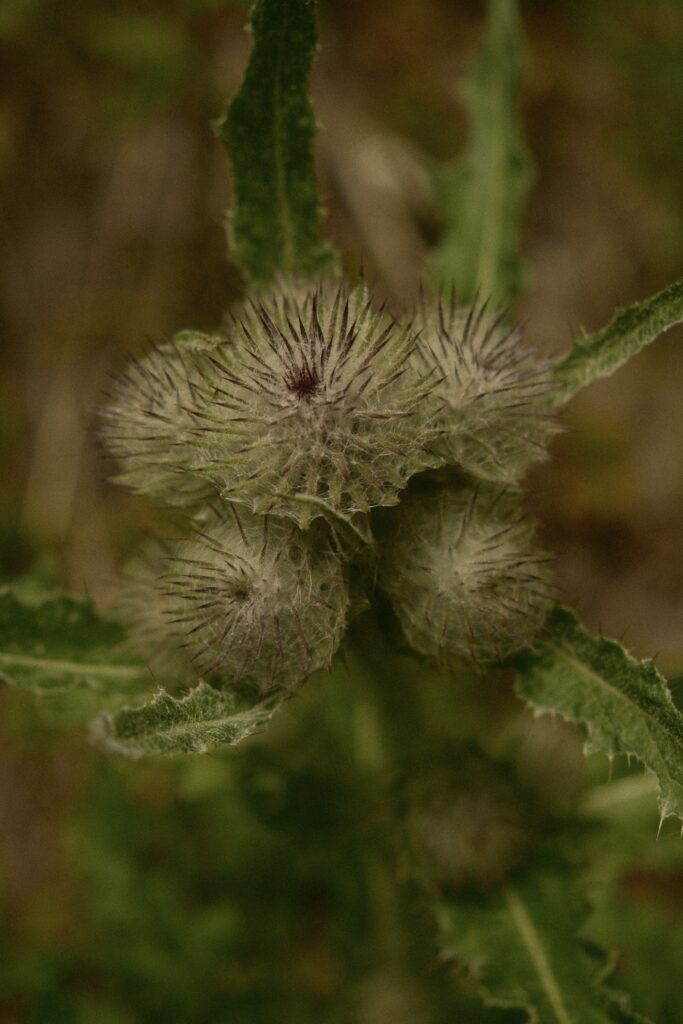
The next section of the trail winds through the forest. You’ve passed a majority of the abandoned tunnels, but you will pass by many wildflowers.

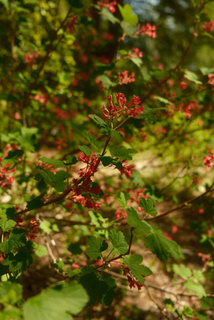
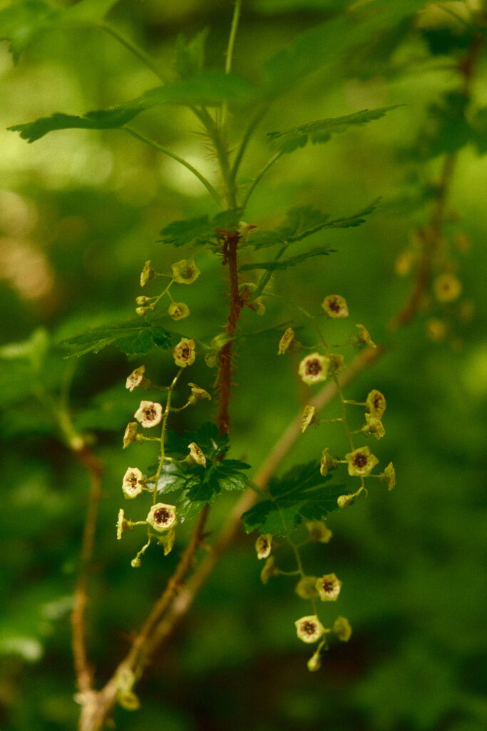
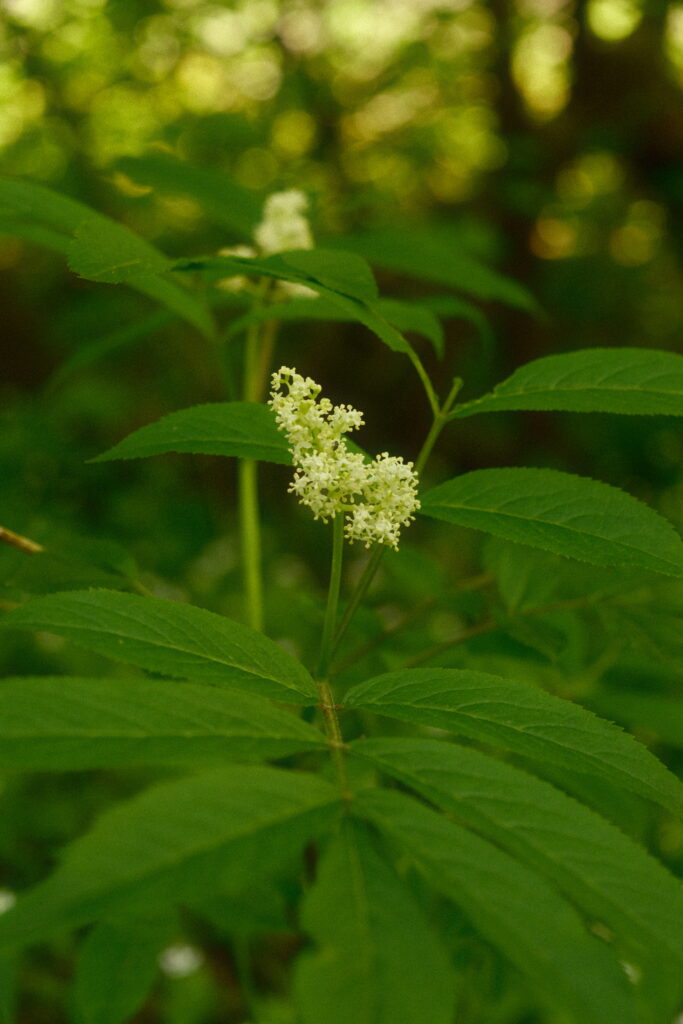
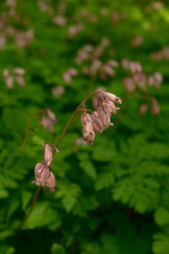
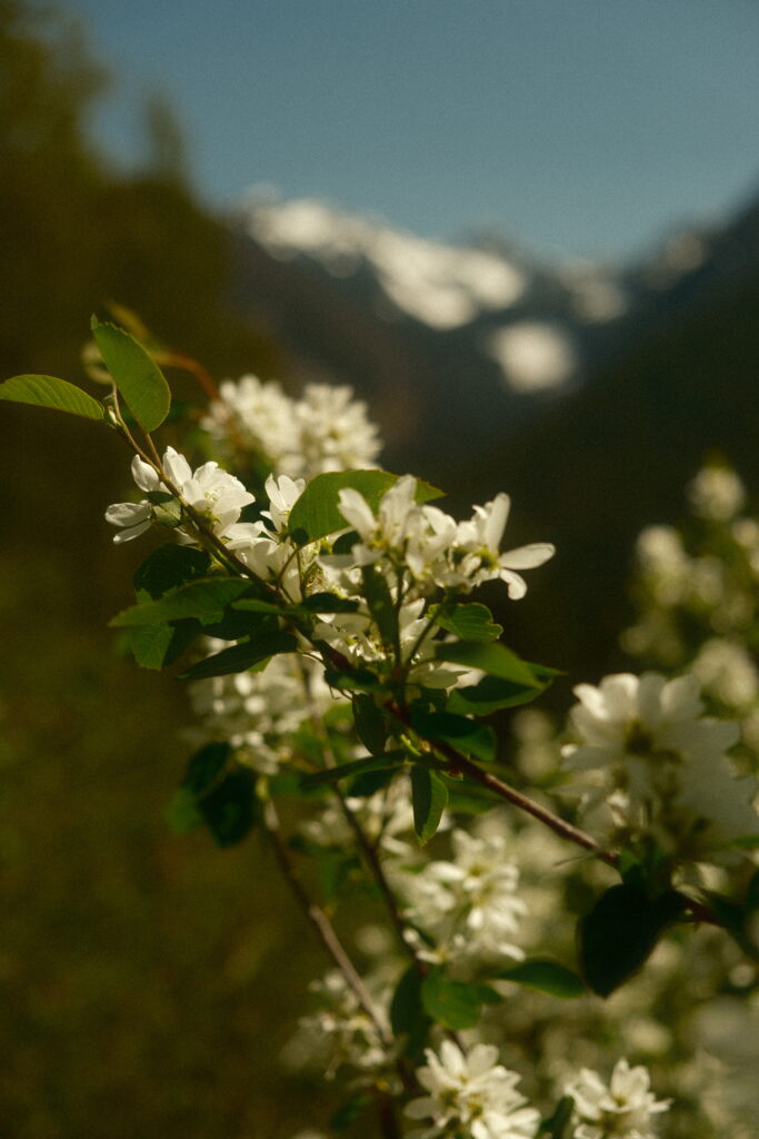
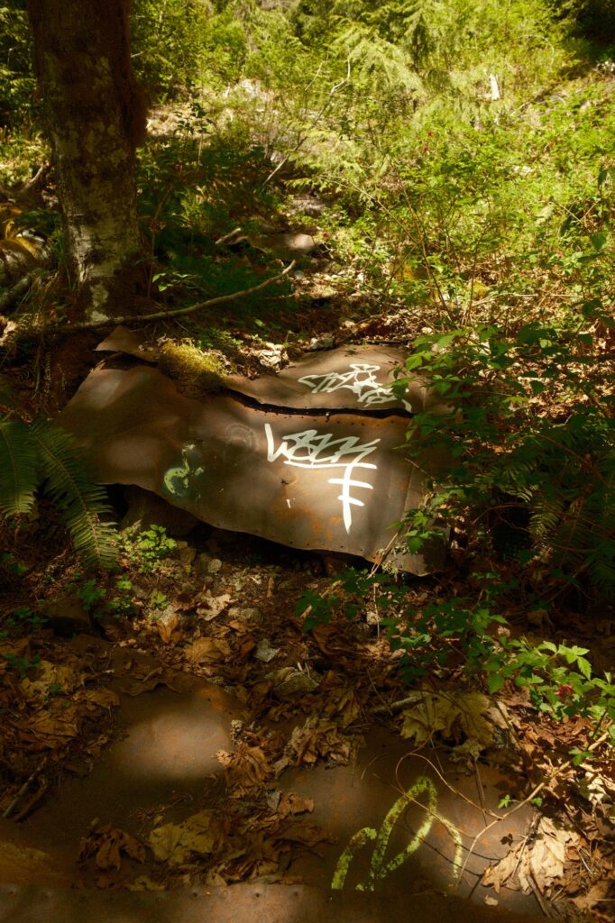
Eventually the lower half of the trail will meet up with the upper half (there is also a tiny trail leading up the hill before this turn off that saves you about 0.5 miles). The upper half of the trail is a lot more interesting than the lower in my opinion. There are less tunnels, but the surrounding scenery is gorgeous. You will pass by many water sheds, waterfalls, and even a few metal pieces from the 1910 avalanche.
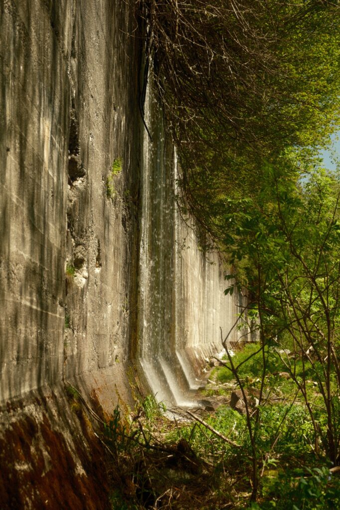
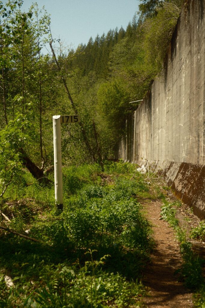
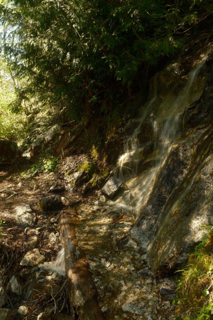
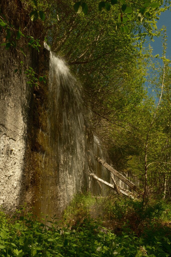
At about 2 miles, you will see stairs leading up the snowshed to your left. The view from the top of this snowshed is breathtaking, but something even better lays in the foliage behind you, the “Crown Jewel”. The “Crown Jewel” is a spillway that was built in 1910 as part of the Great Northern’s fire protection system. Spillways function as channels to carry off excess water. This reservoir’s location, in a stream flowing down steep slopes, had a sufficient supply of water year-round to play an important part in protecting the timber snowsheds in this area from fire. There is still water flowing from this spillway today. If you visit Iron Goat in the summer the water level surrounding the “Crown Jewel” will be low enough for you to bushwack back to the spillway. It was fun to climb on and look at but be careful of the wet slippery areas.
Windy Point Tunnel is the grand finale of this trail and is only about a mile from the “Crown Jewel”. You will be able to see the tunnel peeking through the trees at the end of the long walkway leading to it. You can go inside this tunnel, but I do not recommend going past the barrier because it is extremely dangerous to do so. To get back to the parking lot you just have to climb down the switchbacks next to the tunnel. If you want to walk the 4 miles to Wellington, you can continue on the upper trail past the tunnel.
Wellington Ghost Town
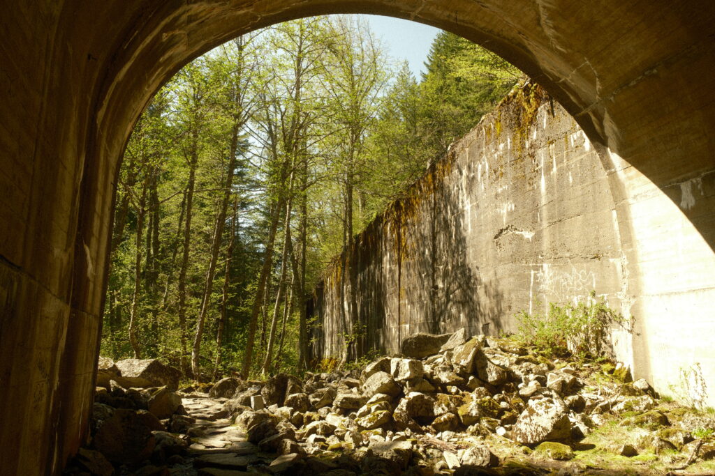
To the east of Wellington lies the west entrance to the original Cascade Tunnel. You used to be able to walk through this tunnel, but flashfloods swept rock and debris into the tunnel making it difficult and dangerous to explore. The tunnel entrance is a short 0.5 mile walk from the parking lot and is worth looking at. In my opinion it is one of the more underwhelming things you will see compared to the other sections of the trail. There is a lot of graffiti at the entrance to the tunnel that take away from the awe factor. The main attraction lies to the west of Wellington.
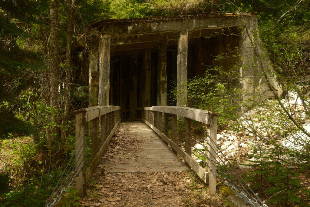
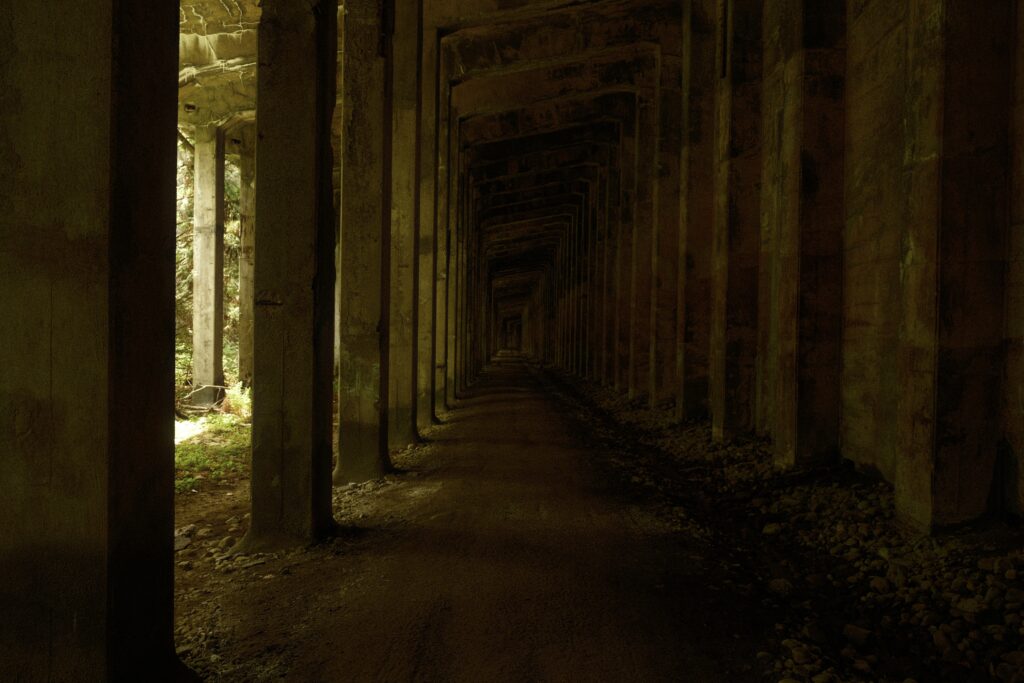
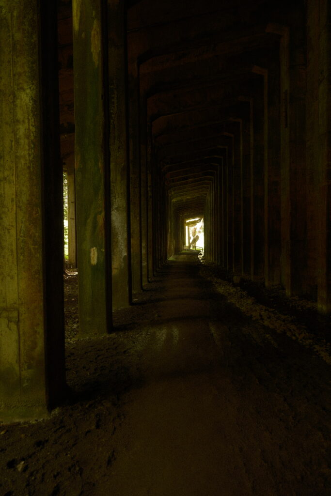
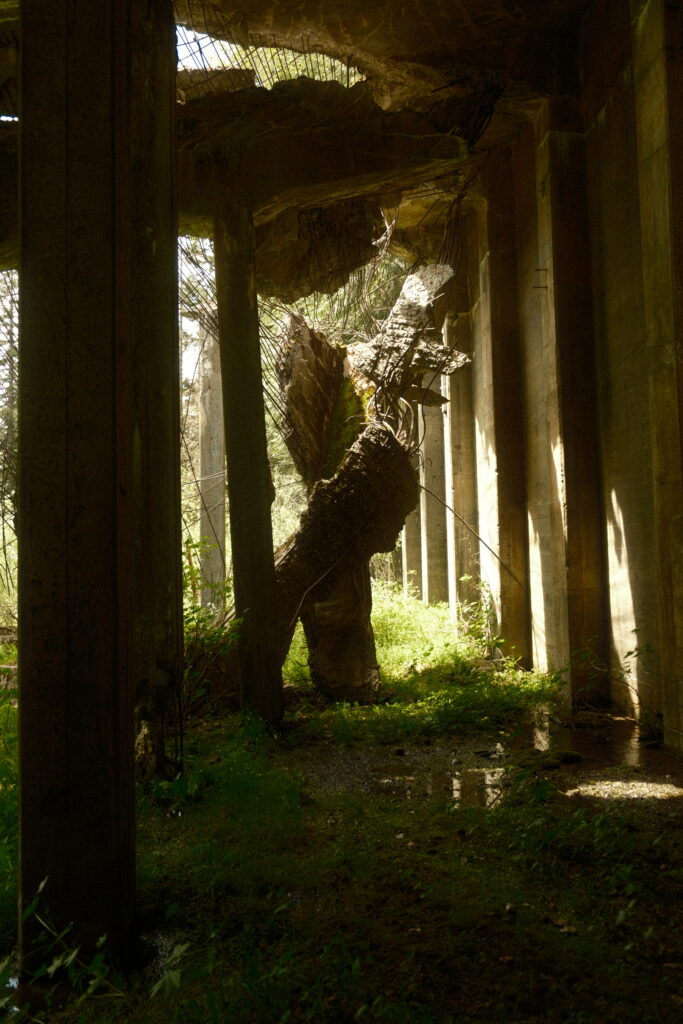
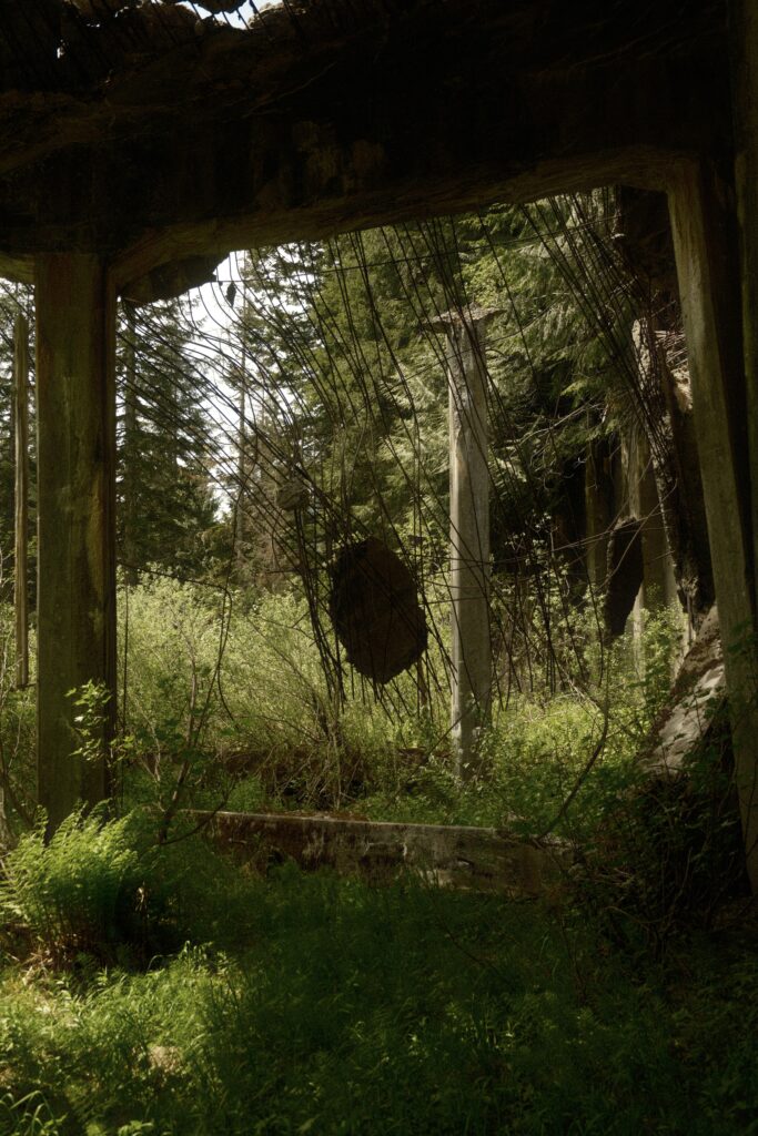
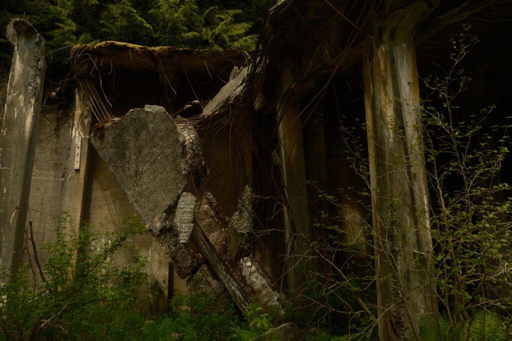
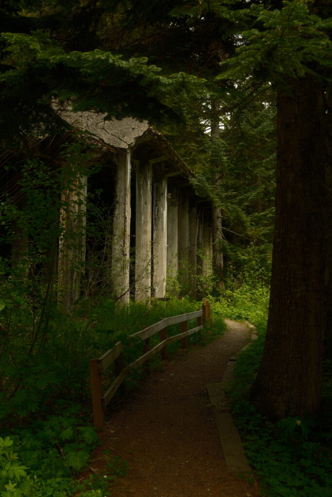
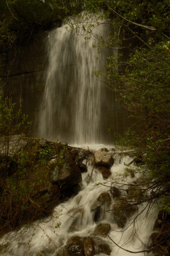
On the western trail you will walk through the abandoned snowshed to the site of the 1910 avalanche. It is about 1 mile one way and very easy to walk through. There are a couple of waterfalls flowing down from the top of the snowshed and on the left side of the shed you can see trees growing inside of it, giving the shed a post-apocalyptic vibe.
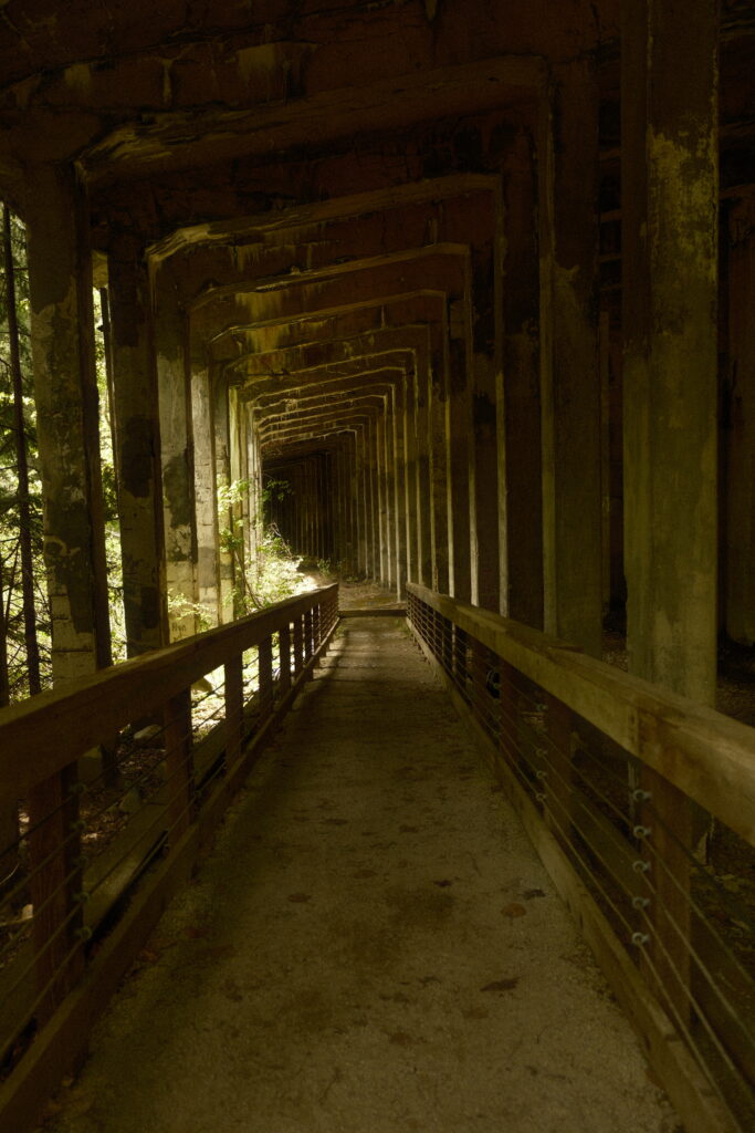
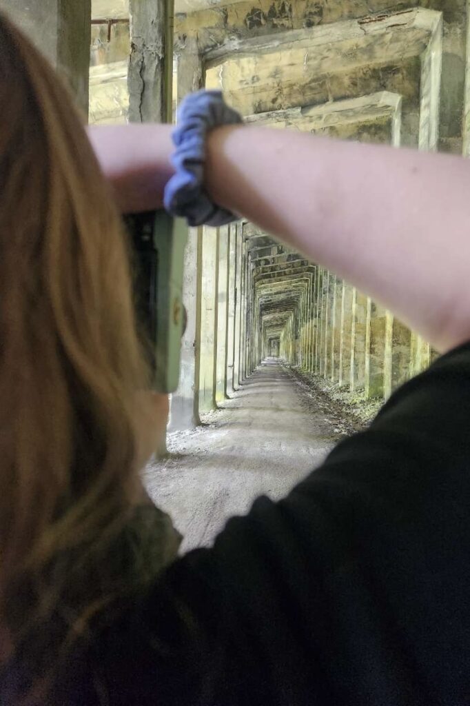
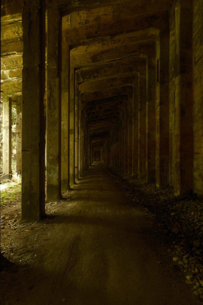
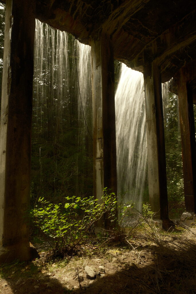
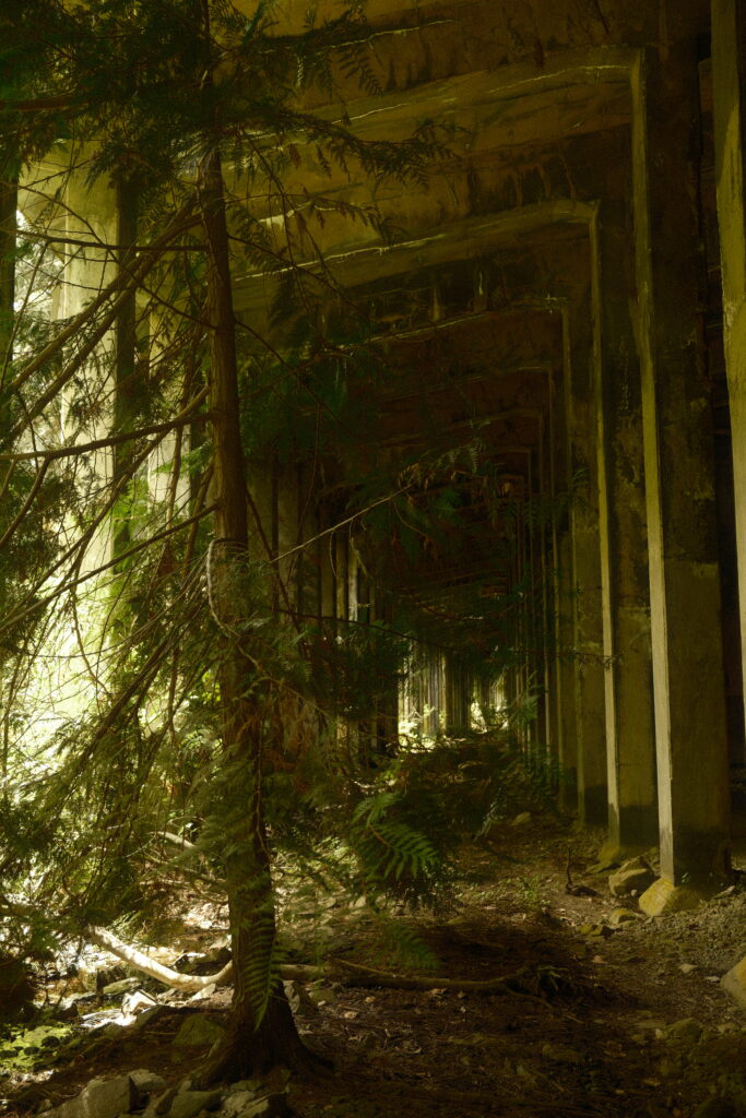
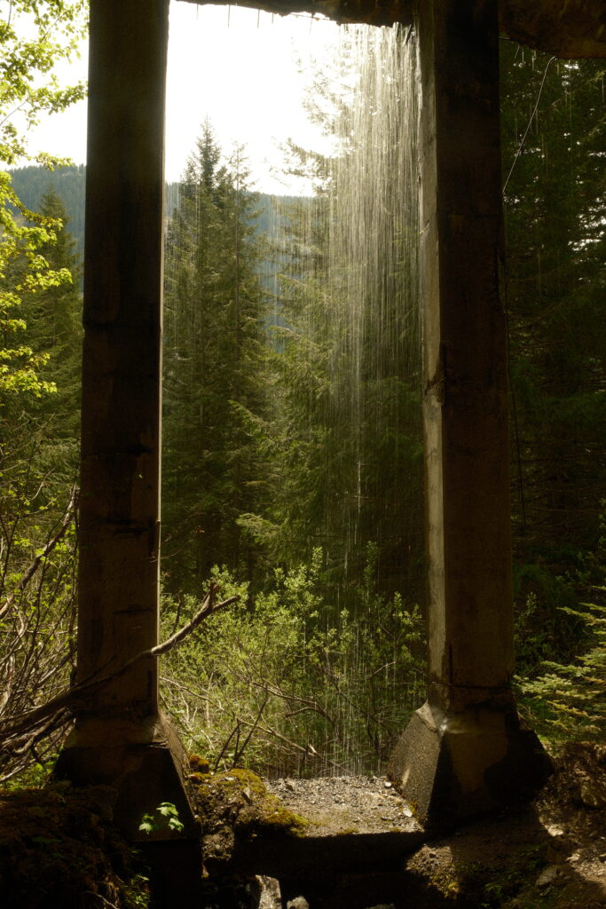
Once you reach the end of the snowshed you will be able to see the section of it that collapsed. The trail continues for 4 more miles until it meets up with Windy Point Tunnel on Iron Goat Trail. We walked about 1 more mile before we decided to turn around and head back to Wellington.
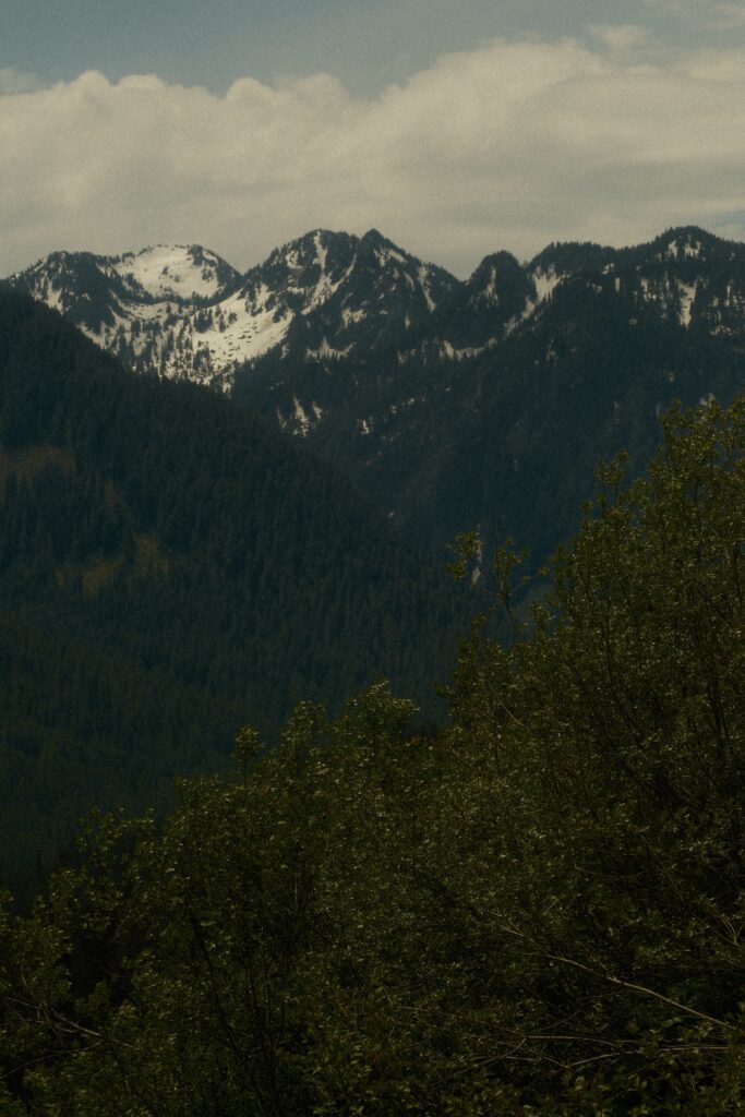
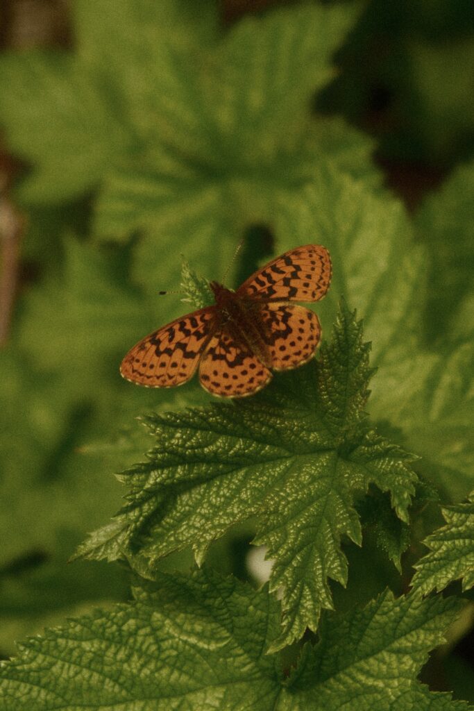
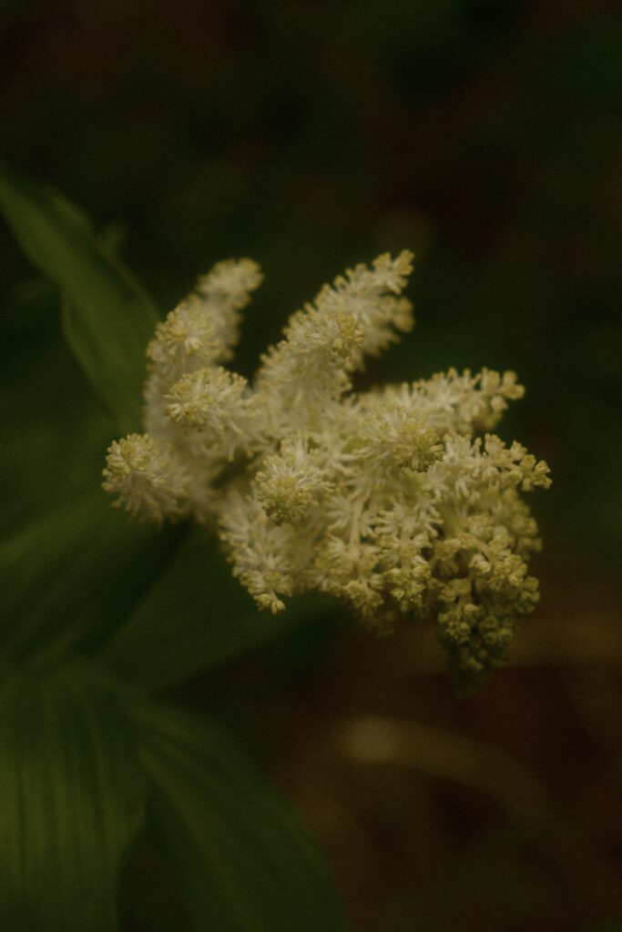
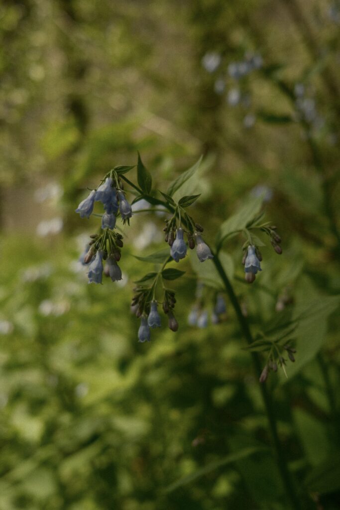
Aside from abandoned structures and spooky vibes, there are a plethora of wildflowers on the trail west of the snowshed in the spring and summer. I saw wildflowers here that I had never seen before. I even got lucky and was able to capture the perfect picture of a butterfly, something I’ve been wanting to do since I got my camera.


Note for the reader: I share these locations so that others can see beautiful places and enjoy nature as much as I do. Please be respectful of the outdoors and what condition it is in when you visit. Don’t go off trail, leave no trace, and pack out what you came in with.
