Guide to Southcentral Alaska
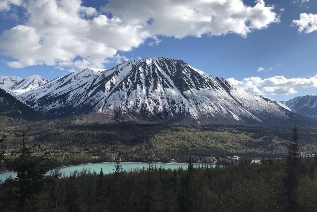
This post is extremely special to me because I get to talk about where I’m from, Southcentral Alaska. I grew up in the small fishing town of Ninilchik on the Kenai Peninsula. After graduating high school in 2011, I joined the Army and moved away for about 4 years. In 2015, I moved back up to Alaska to get my bachelor’s degree in environmental science using the G.I. Bill (read more about a bear survey I did in Alaska during college here). I originally started my degree in Fairbanks, but I didn’t like living there. So, I moved to Juneau for three years to complete my degree. I absolutely LOVED living in Juneau and might have stayed there if it wasn’t so isolated. You can’t access Juneau by car because there are no roads connecting it to the rest of Alaska. You have to fly or boat in and out of the city. In 2019, I left Alaska once again (for now), but I still go up to visit my family.
Southcentral Area and Best Way to Get Around
After growing up in Alaska and spending years traveling around this breathtaking state, you could say I know a thing or two about “The Last Frontier”. Despite the many towns I have been to and would like to talk about, this post focuses on Southcentral Alaska. Taking a road trip around Southcentral Alaska is the best way to explore because everything is extremely spread out. This also gives you flexibility to do what you want and customize your trip. There are many car rental companies to choose from in Anchorage and other towns, or you could see what’s available on Turo. I highly recommend Turo and have used them several times on other trips in the U.S. because they are usually cheaper than rental companies. Luckily, my grandparents let me use their car whenever I visit. I would say you need a week minimum to see the highlights. Obviously, the longer you can spend in each area the better. More time will allow you to venture off the main roads and go hiking, fishing, wildlife viewing, and even travel to isolated towns via a water taxi. While I don’t talk about many hikes in this post like I usually do, I definitely recommend looking up hikes in each area with a simple google search. There is a plethora of trails in Alaska that lead you to glaciers, lakes, and so much more. In this post, I will cover these areas:
Mat-Su Valley
- Wasilla & Palmer
- Hatcher Pass – Independence Mine State Historical Park & Summit Lake
- Denali Flight Tour
- Mirror Lake
Anchorage
Seward Highway to Seward (Kenai Peninsula)
- Intro to the Seward Hwy
- Anchorage to Girdwood
- Portage Lake & Whittier
- The Kenai Peninsula
- Tern Lake
- Moose Pass
- Seward
Sterling Highway to Homer (Kenai Peninsula)
The Best Time to Go
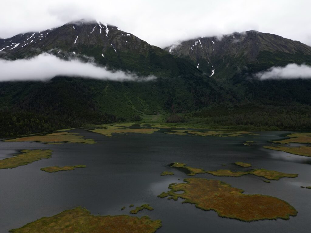
Alaska is beautiful, no matter what time of year you go. The best time visit depends on personal preference and what kind of trip you are wanting to have. Do you want to ski the slopes of Alyeska in the winter? Or frolic through sprawling wildflower fields on a summer day? Personally, my favorite time to go home is between late June and early October.
Winter
There is something magical about seeing mountains in Alaska blanketed with fresh snow. If you are wanting to ski or snowshoe, then winter is obviously the best time to visit. Worried about the dark? Lucky for you, during winter in Southcentral Alaska there isn’t 30 days of darkness like there is in Northern Alaska. Days are shorter, but there is still sunlight.
Spring
Spring is probably the “ugliest” time to visit because foliage is dead and brown. It is extremely muddy outside from melting snow, but this melt signals that summer is just around the corner. Days start to get longer, warding off the darkness of winter.
Summer
Alaska really comes to life in the summer. Summer brings about longer, warm days, fishing, wildflowers (such as Alaska’s famous fireweed), and greenery. While summer is warmer, don’t expect it to be too warm. It usually averages around 65-75 degrees Fahrenheit, rarely reaching above 80. Also, in Southcentral Alaska it barely gets dark at night. There will be about 4 hours of darkness at night (not even pitch-black, just darkness) and then the sun will jump right back up. It might be busier than normal in the summer since other tourists flock to Alaska to take advantage of longer days and the fishing season.
Fall
Fall is a fantastic time to visit if you prefer less crowds, but still want to hike and do other outdoor activities. Scenery will be speckled with orange, green, and yellow and most tourists will have returned home. Weather during fall will be cooler though, and rainy days start to increase (this doesn’t bother me because I love rain).
The Photos & Gear
All of the photos in this post were taken over the past couple of years when I’ve gone home to visit family. I have pictures from my time growing up in Alaska, but they aren’t on my iPad because most of them are prints. Most of the photos were taken on my Fujifilm X-T5 with the Heartland, Grizzly Bear, and Oceanic 815 recipes in July. The rest were taken on my DJI Mini 3 Pro Drone and my iPhone 13 Pro in the spring and fall. Without further ado, let’s talk about Alaska.
Wasilla
Mat-Su Valley: Wasilla & Palmer
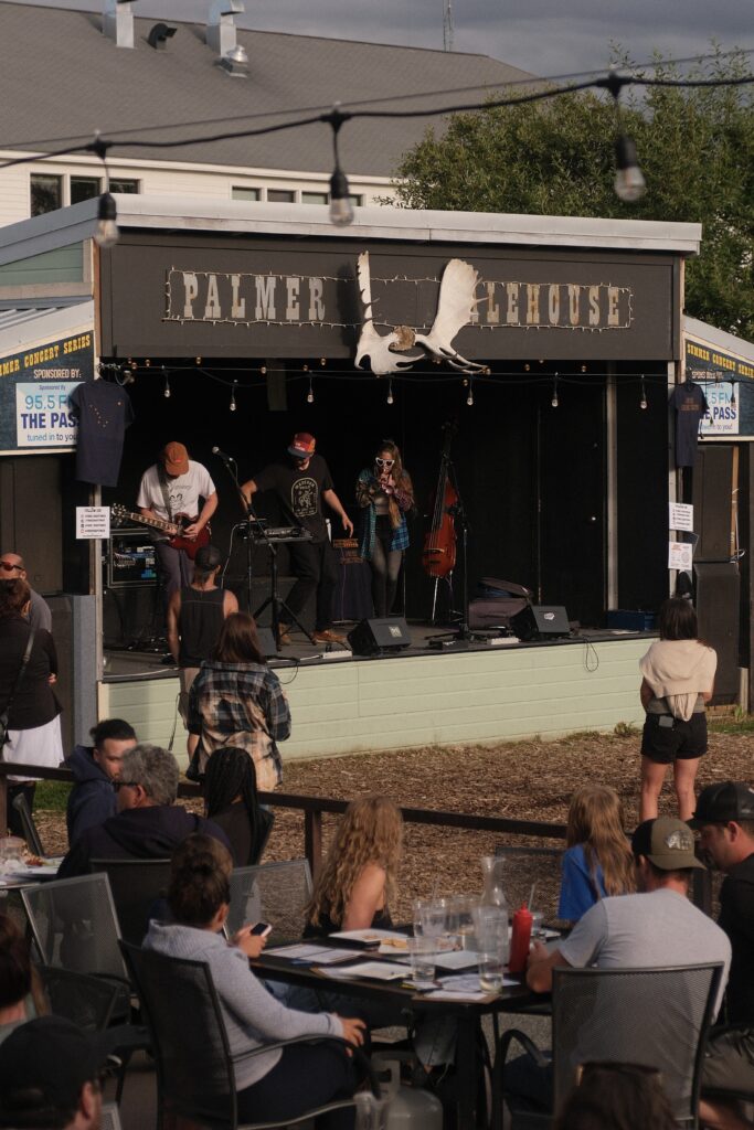
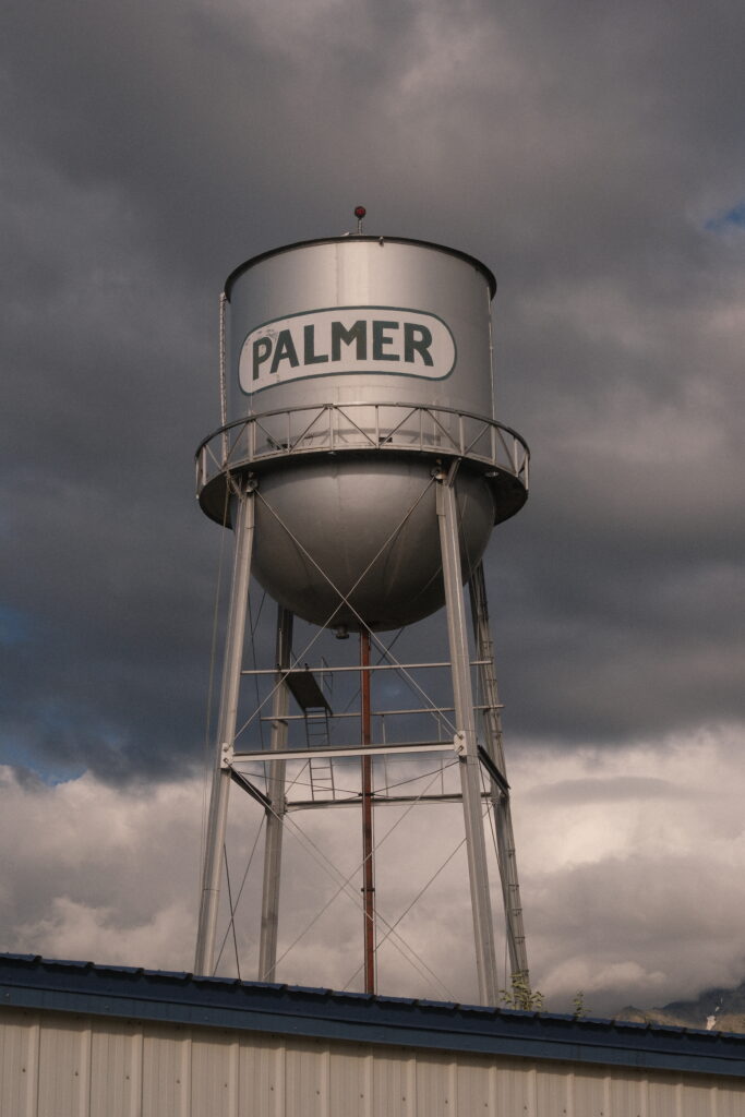
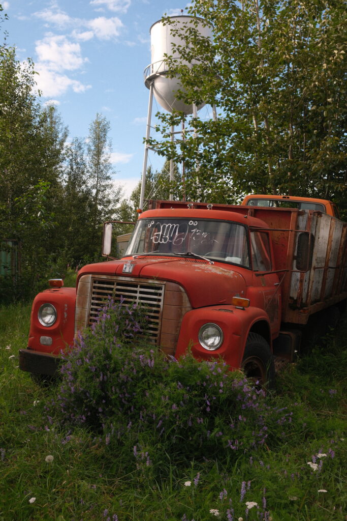
Wasilla and Palmer are the largest towns in the Matanuska-Susitna Valley (Mat-Su), a 40-minute drive north of Anchorage. I included these towns in the same section because they are basically becoming the same city due to continued growth over the past few years. My dad’s side of the family lives in Wasilla, so my sister and I have spent quite a bit of time in this area. The Mat-Su Valley is surrounded by towering mountains that you can hike, such as Lazy Mountain and The Butte, as well as a few lakes and rivers. There is no lack of outdoor activates in the valley, especially in the summer. If you visit this area in mid to late August, be sure to check out the Alaska State Fair. My sister and I went often growing up and have even seen Shinedown and Jason Derulo perform there. As far as restaurants go there are many options to choose from as well as a bunch of breweries. Two of my favorite restaurants in the valley are Krazy Moose Subs in Wasilla and the Palmer Alehouse in Palmer.
independence
Hatcher Pass
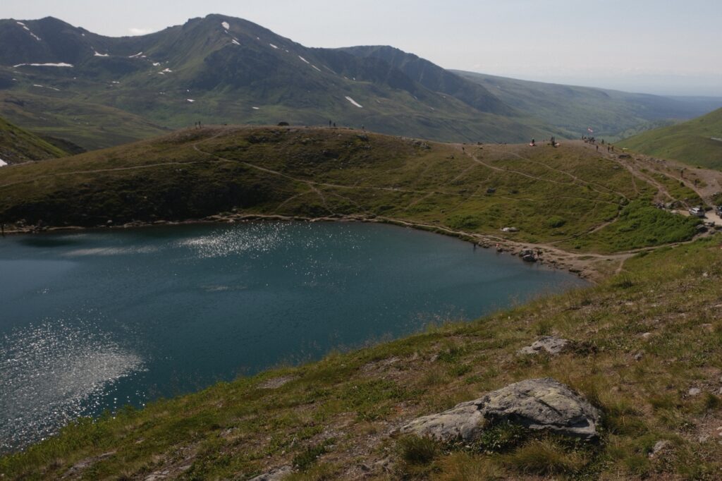
Hatcher Pass is a popular destination for outdoor recreation in the Talkeetna Mountains and is about 50 minutes north of Wasilla/Palmer. The pass is home to an old mine, Independence Mine, and a plethora of mountains, lakes, rivers, hiking trails, and ski runs. Hatcher Pass is one of my favorite places to go near Wasilla/Palmer and I have been to the pass several times. I love bringing along people that have never been there before because the area is so beautiful. My sister and I were able to take my fiancé up in July, when wildflowers were in full bloom. You could easily spend half a day walking around the mine up to multiple days hiking in the backcountry. I’ll talk about Independence Mine and one of the lakes, Summit Lake, below.
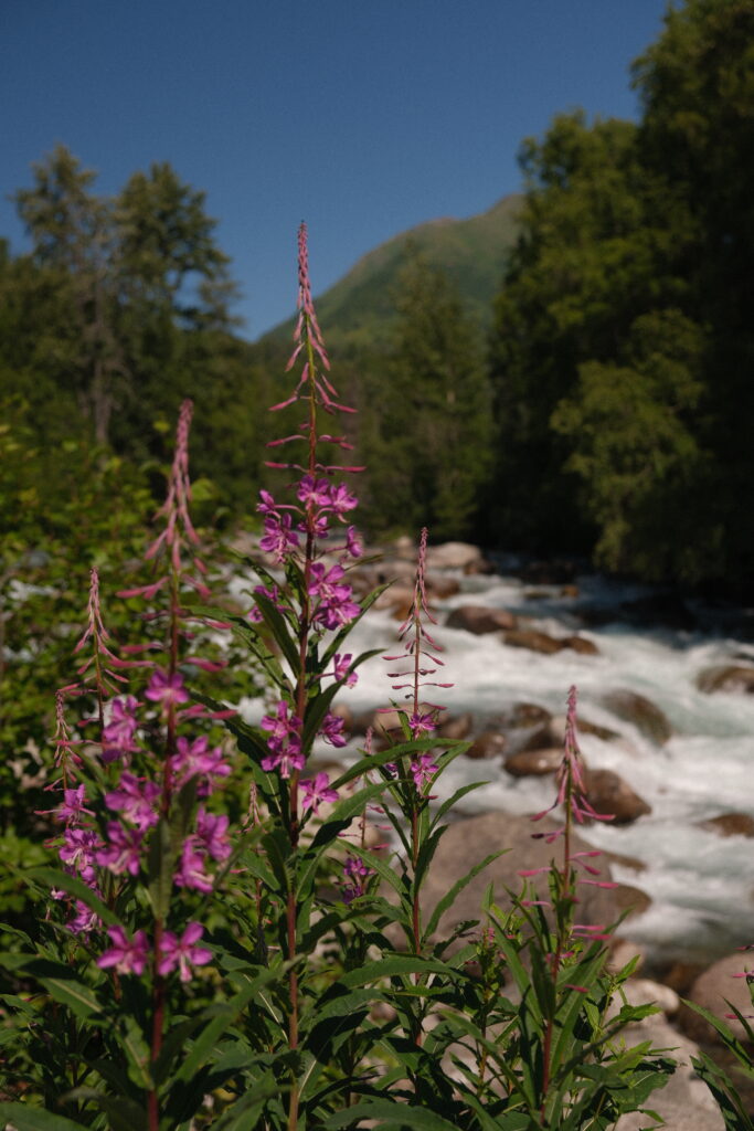
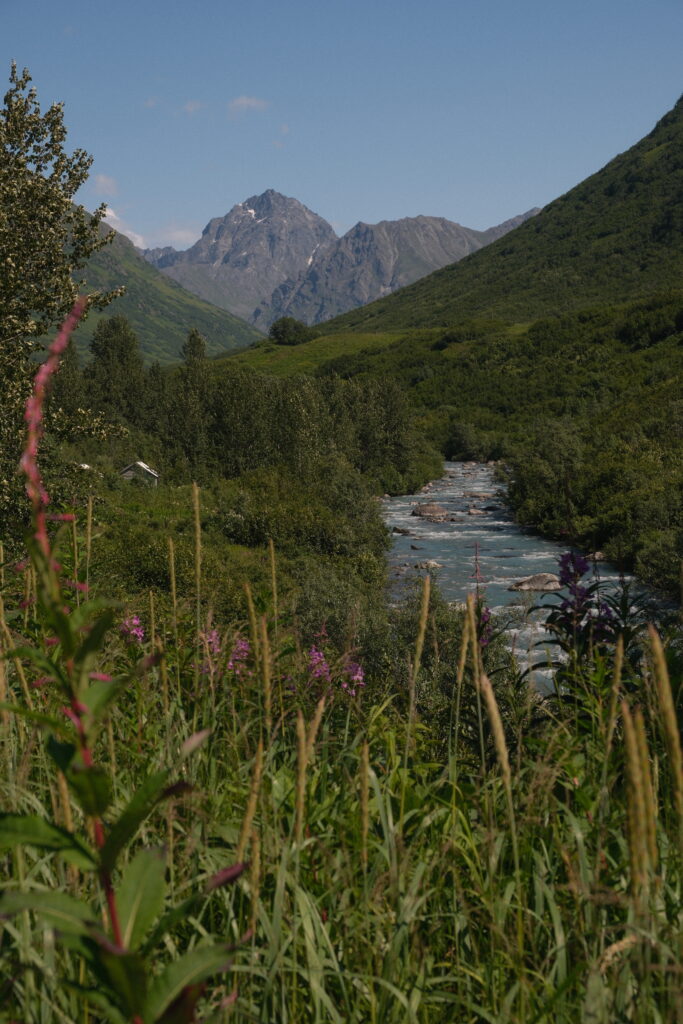
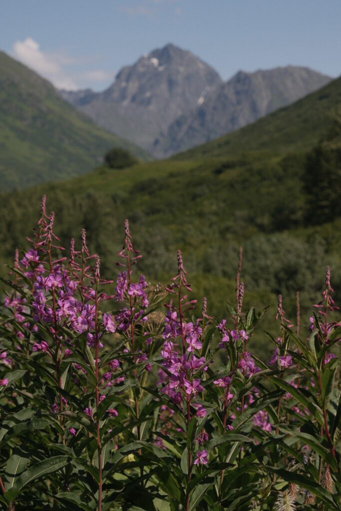
Independence Mine State Historical Park
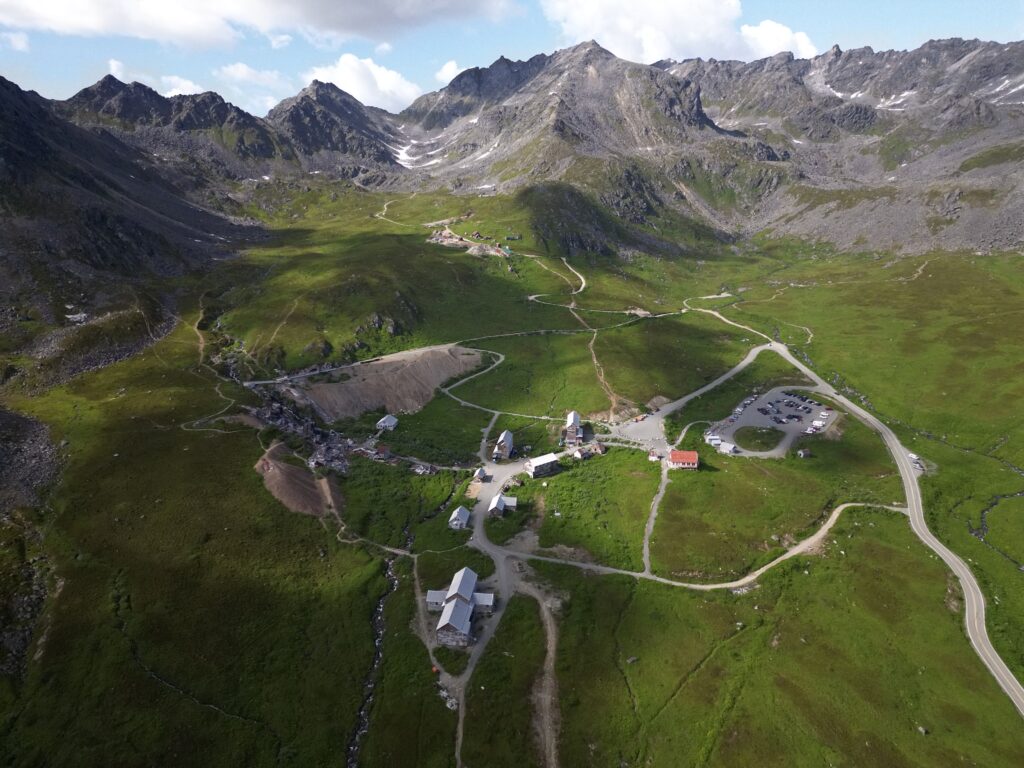
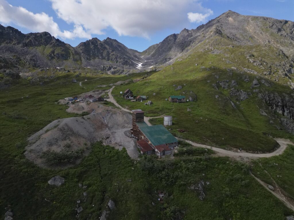
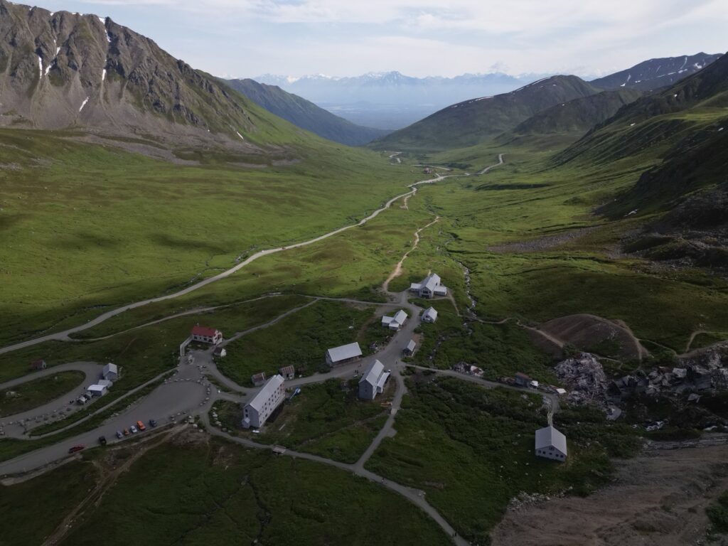
Independence Mine is located at the top of Hatcher Pass. It is an abandoned gold mine that operated from 1938 to 1951. In the summer, you can take a guided tour of the mine area or walk around it independently. If you are wanting to stay close to the mine and surrounding trails in Hatcher Pass, then you should check out Hatcher Pass Lodge. It’s only about one mile from the mine area and lodging is usually available year-round. Be aware that these are dry cabins, so there is no running water inside of them. The lodge is a nice place to stop to get a snack and admire views of the valley below. The cabins are super cute and neat to look at even if you aren’t staying in them.
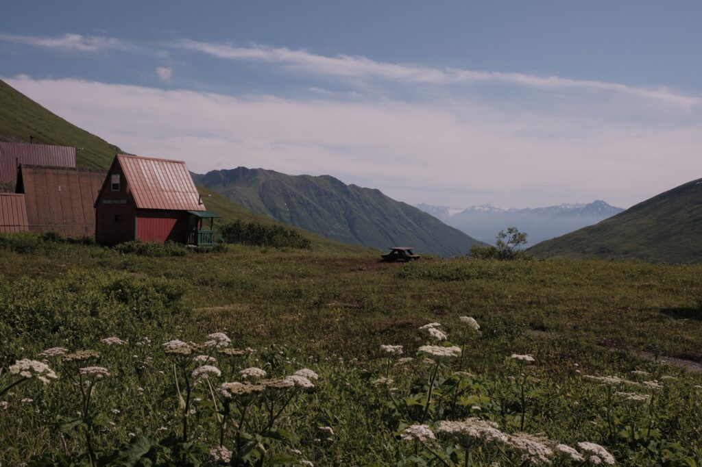
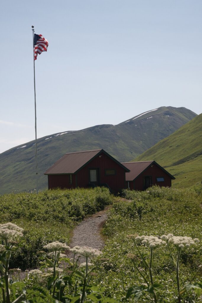
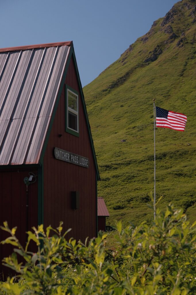
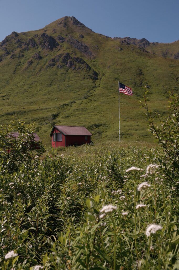
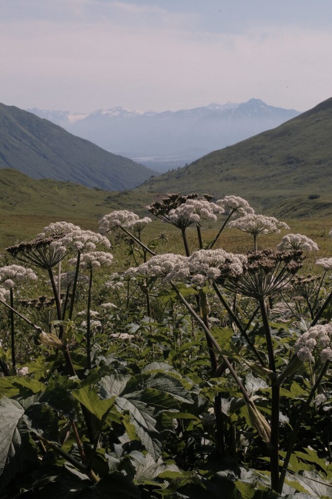
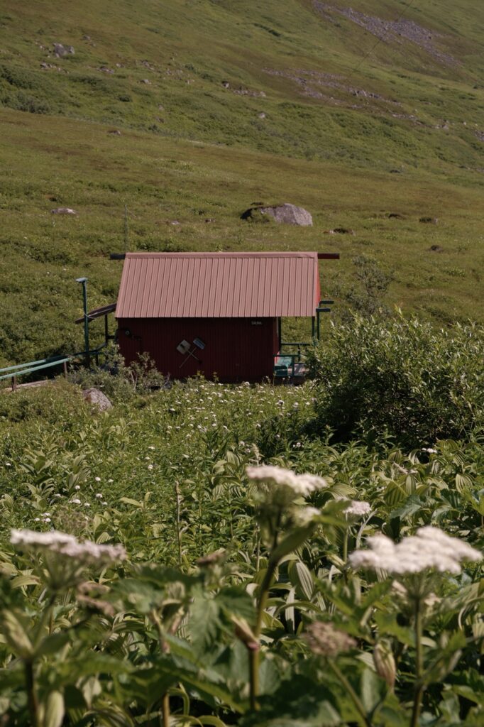
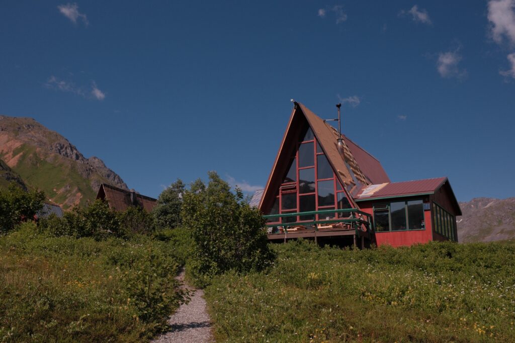
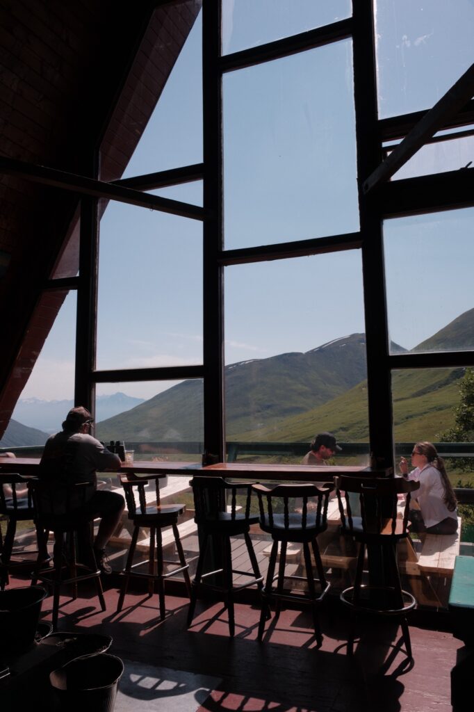
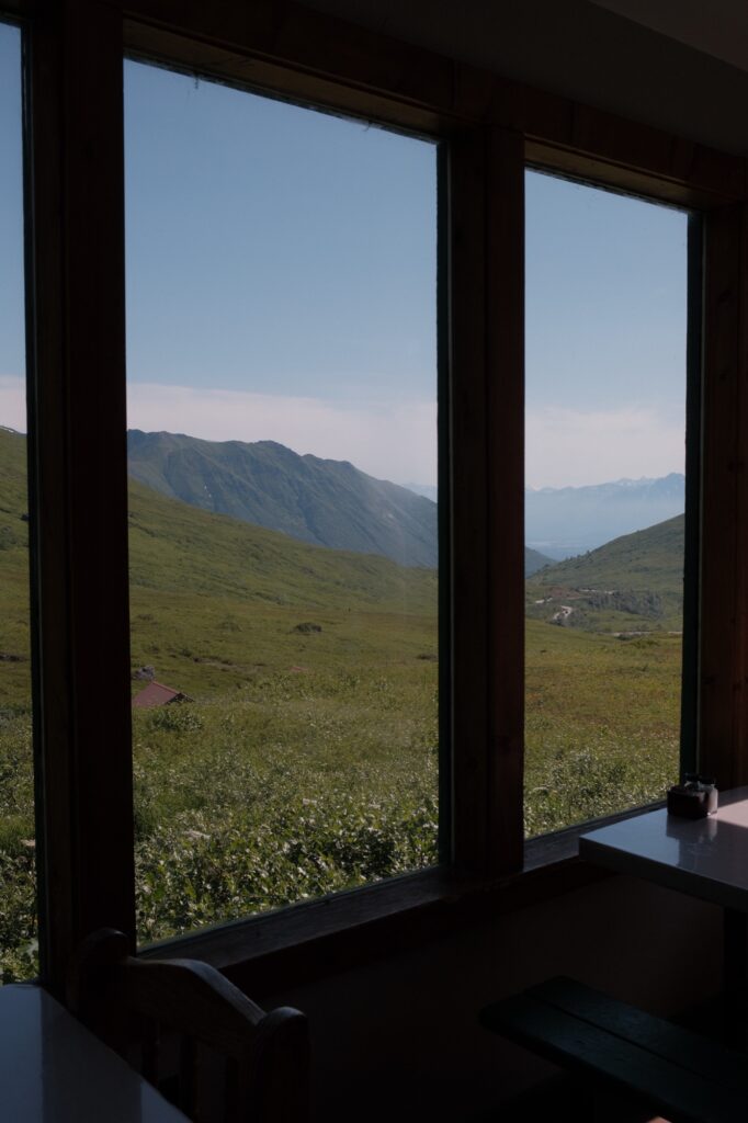
The mine is just a short drive past the lodge. You can either park in the large parking lot next to the lodge and walk up to the mine area, or you can try to find parking at the lot right next to the mine. If you are able to park next to the mine, then I highly recommend doing so. The walk from the lodge up to the mine is about 2 miles roundtrip and there will be plenty of walking once you reach the mine because the buildings are spread out. Whichever lot you choose to park at, there is a small parking fee.
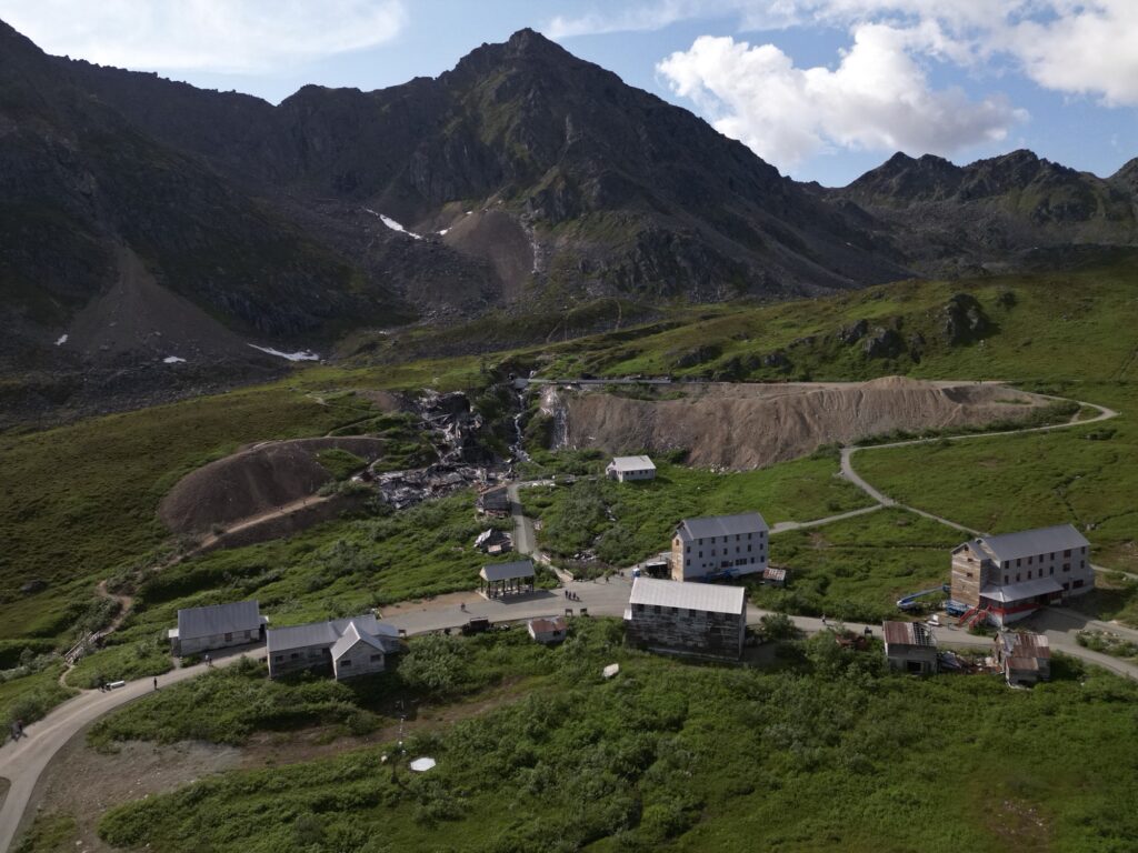
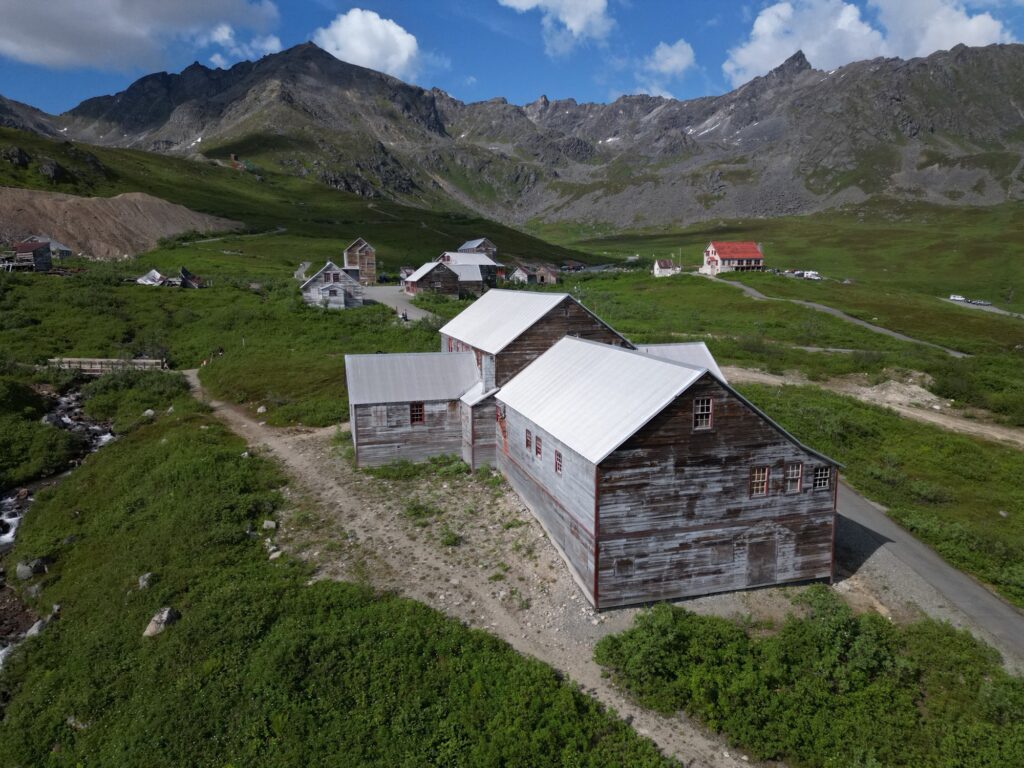
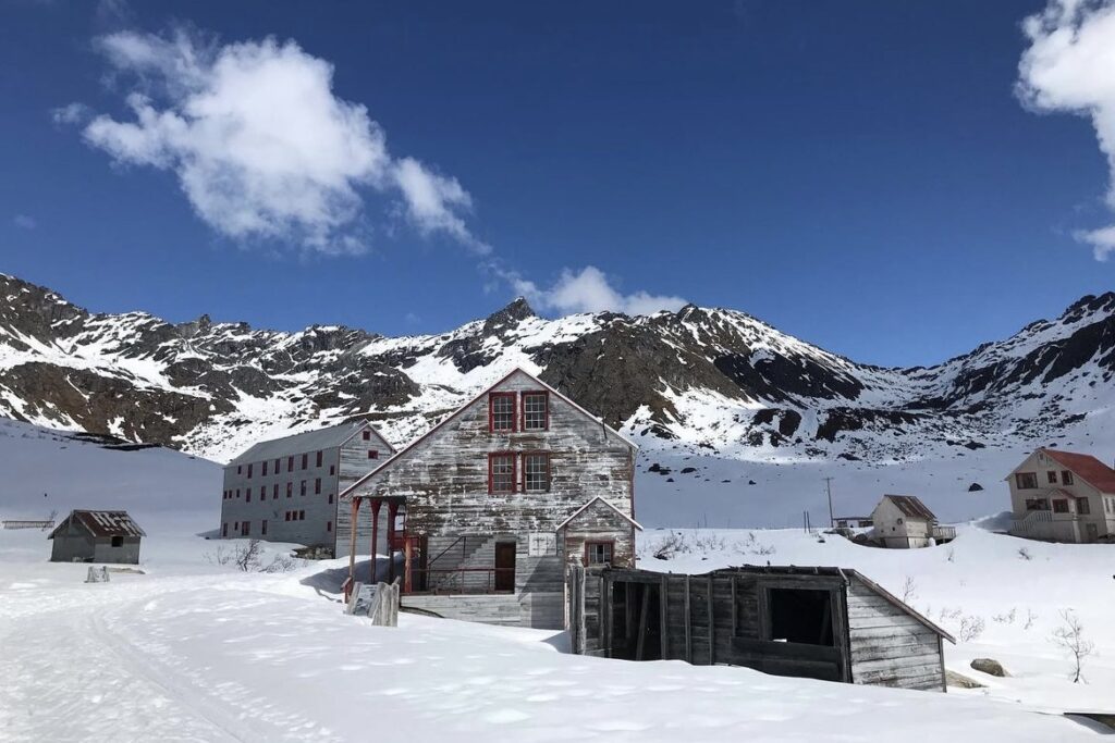
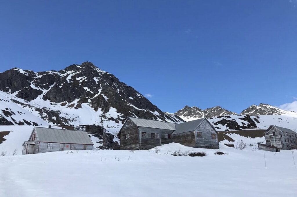
In winter, the road that leads from the lodge to the mine is closed, so you have to either ski or snowshoe the rest of the way. The mine and Hatcher Pass is definitely worth visiting in the winter, especially if you love skiing. The area is gorgeous when covered in powdery white snow.
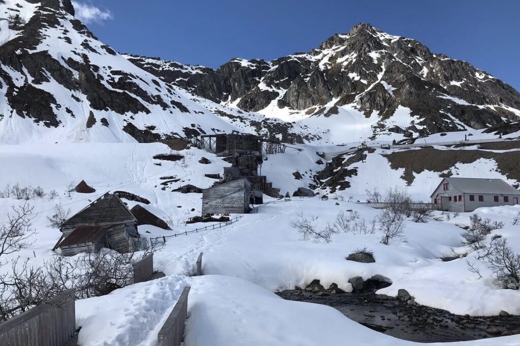
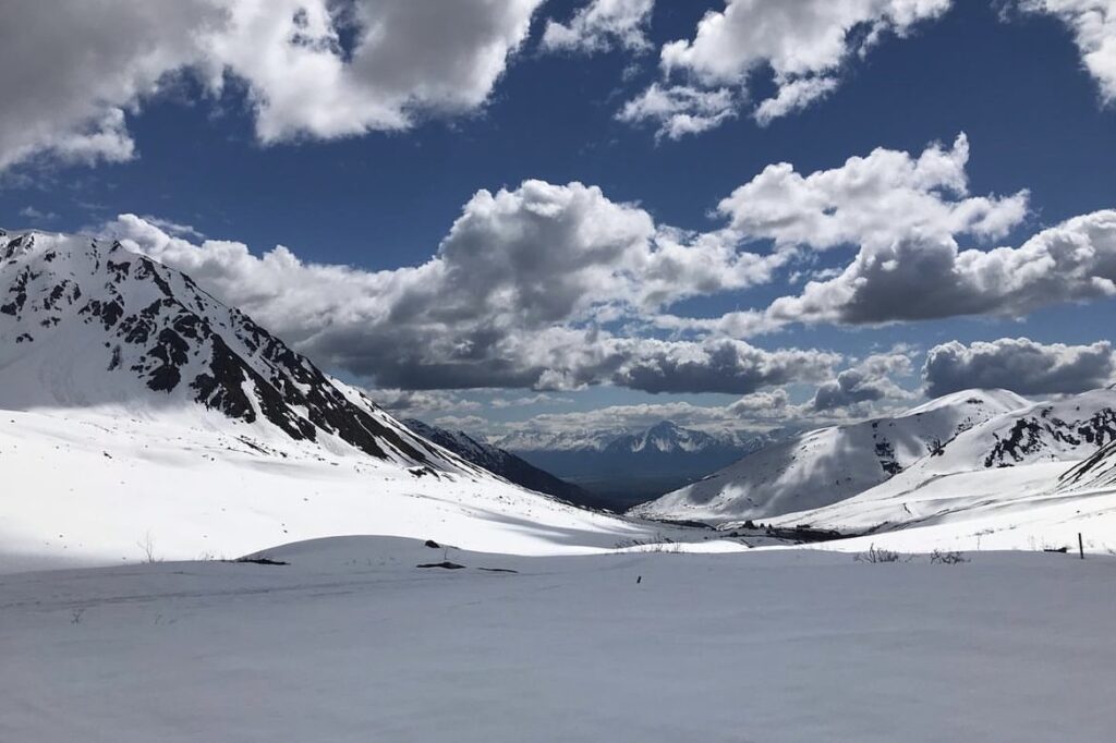
Summit Lake
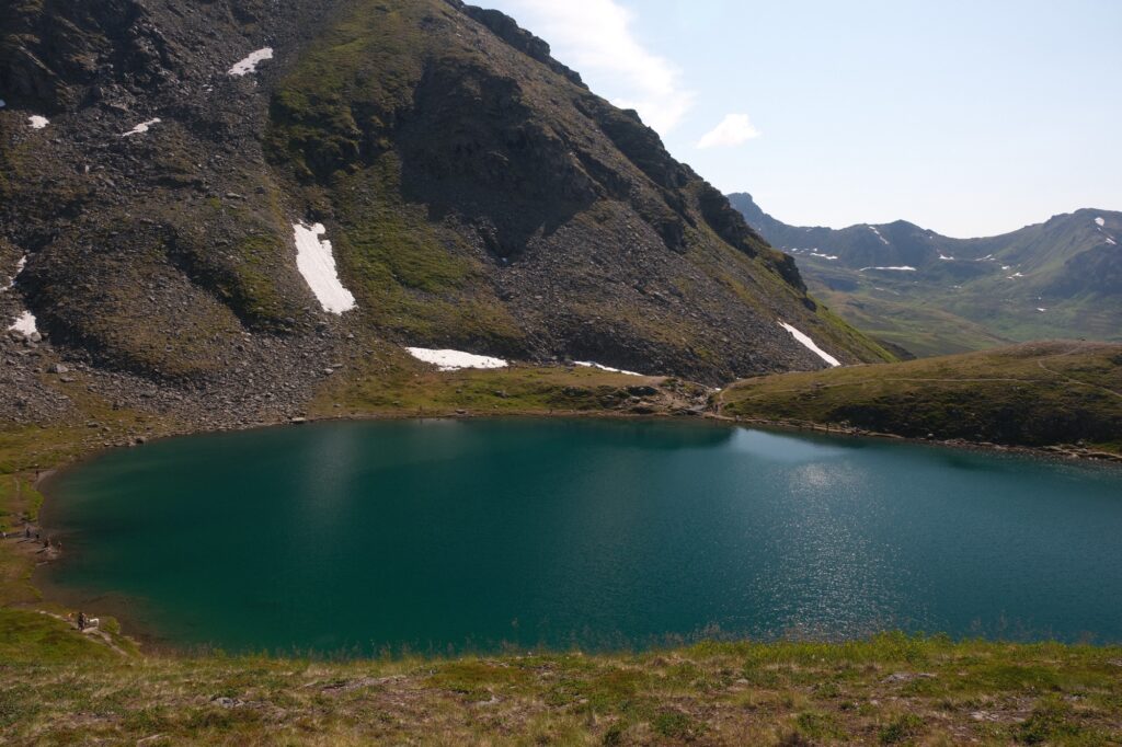
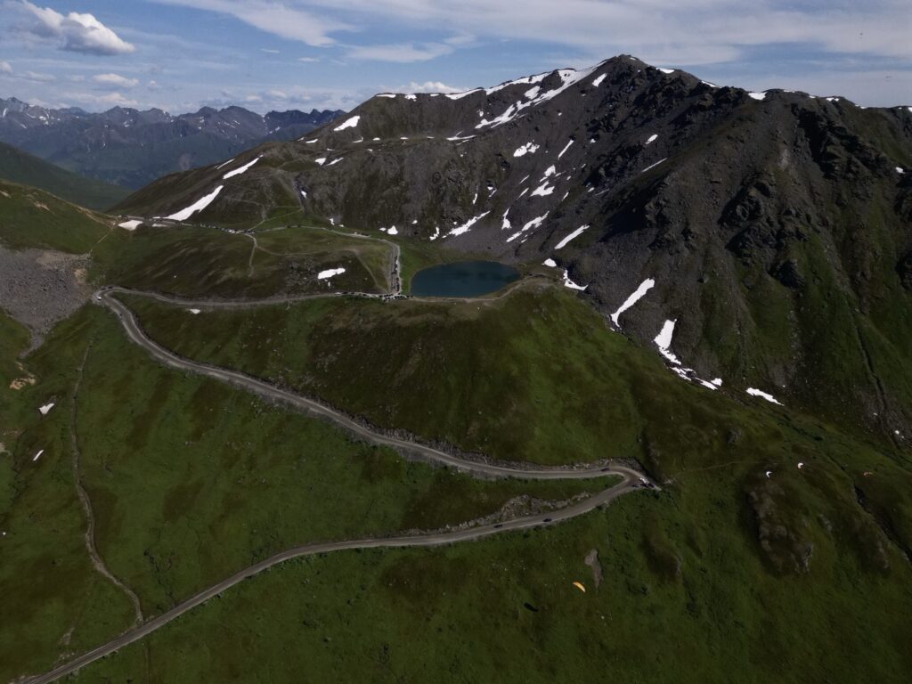
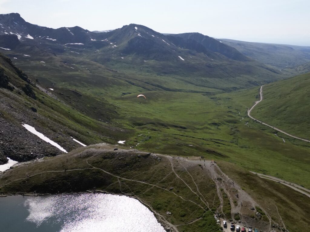
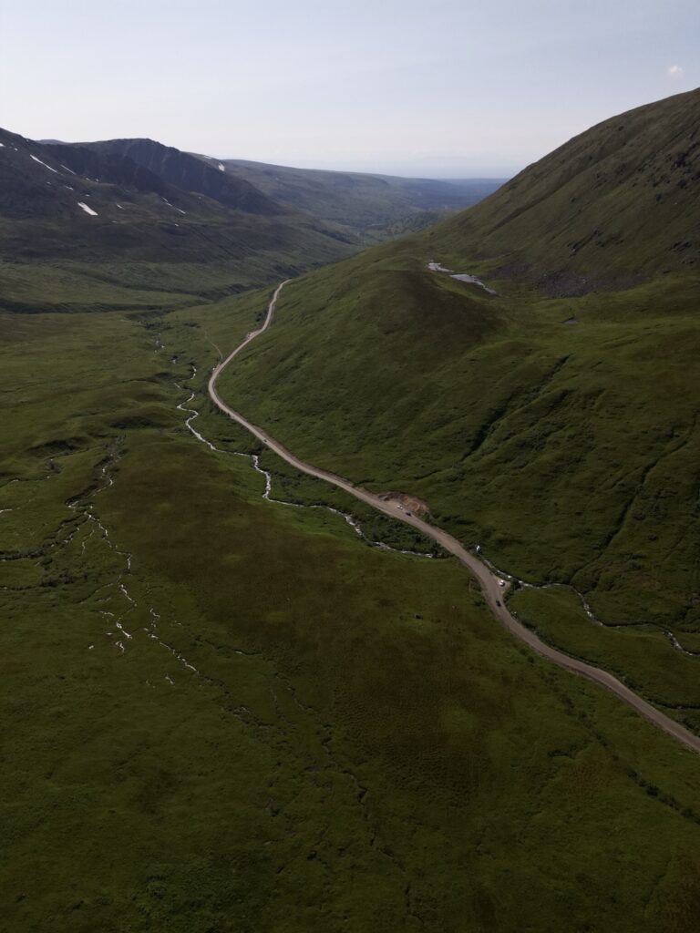
Right across from the lodge you will probably notice a dirt road, Hatcher Pass Road, winding up the hill into the mountains. This road takes you through the Talkeetna Mountains for 49 miles and ends at the small town of Willow, about 30 minutes north of Wasilla. You can start the drive from either Willow or Hatcher Pass. In the summer, this road connects you with the area’s more remote wilderness. The entire road is not accessible in the winter though, because it is not maintained after snow falls. A common place for people to stop at is Summit Lake, which is only about 15 minutes up Hatcher Pass Road from the lodge. This is as far as we went in July, and it was my sister and I’s first time driving on Hatcher Pass Road.
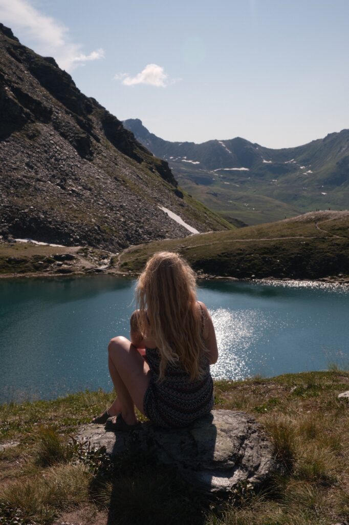
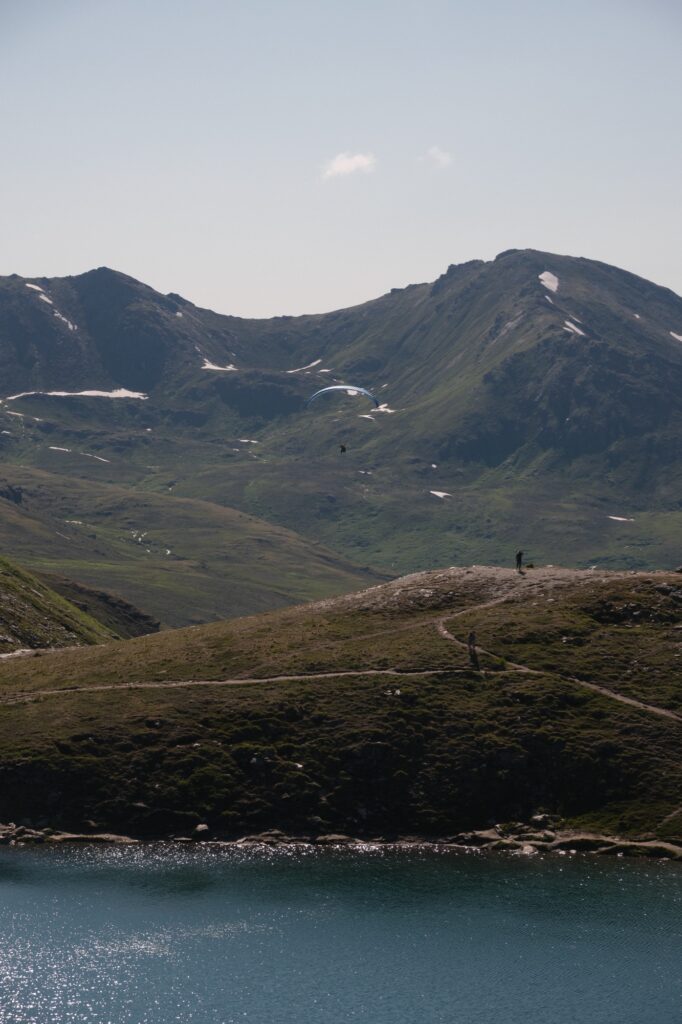
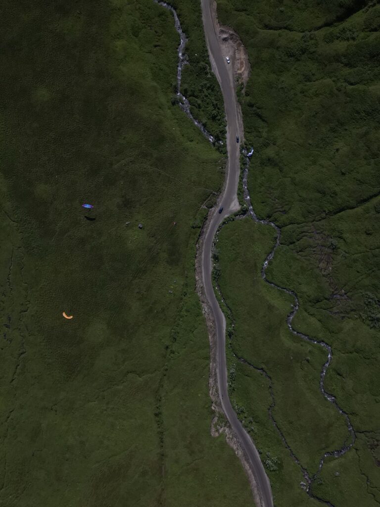
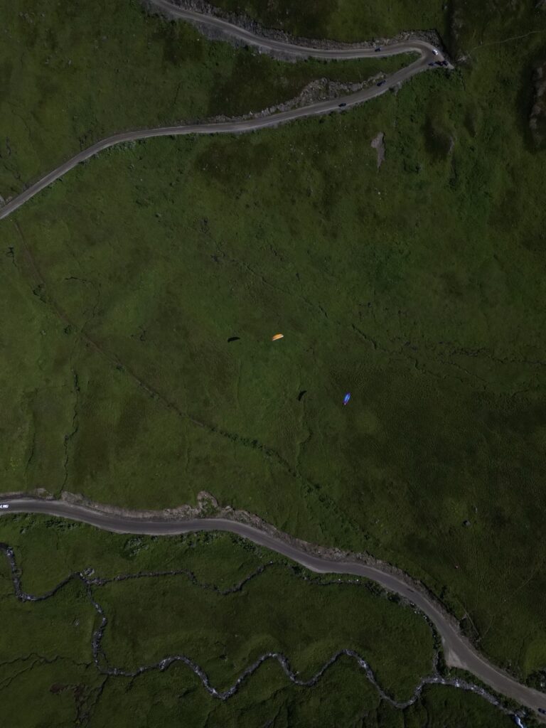
Since, we had never been up this road before, we didn’t know what to expect and had no idea that Summit Lake was so close to the mine area. The main thing that shocked us was the amount of paragliders that we saw soaring in the sky above.
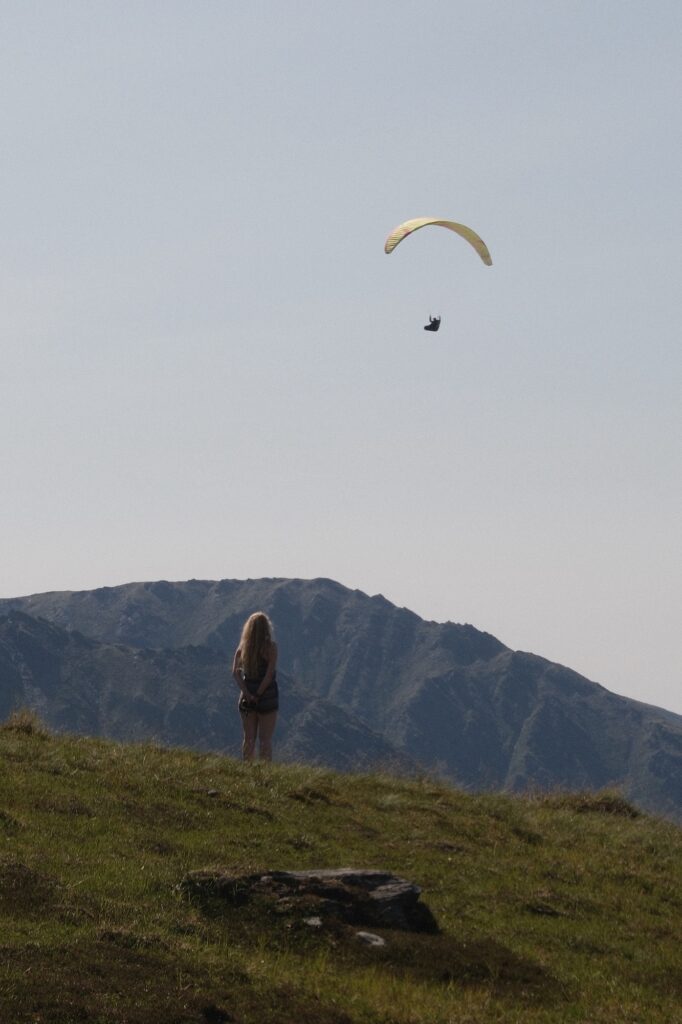
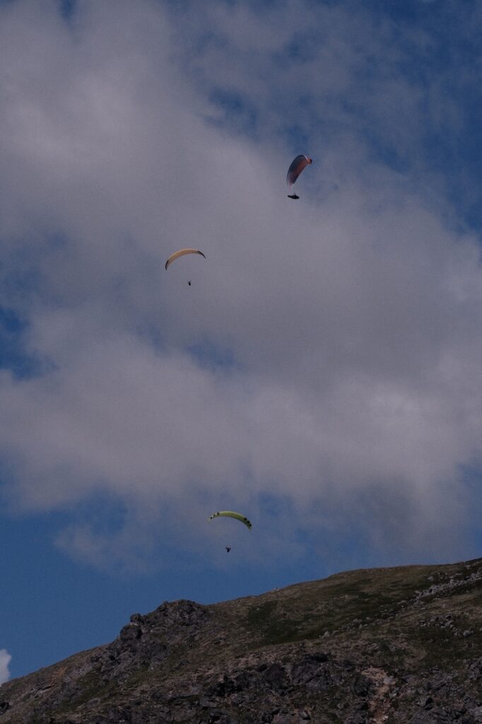
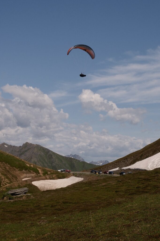
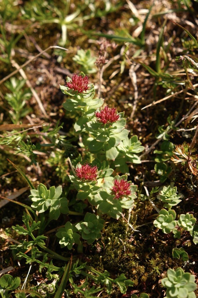
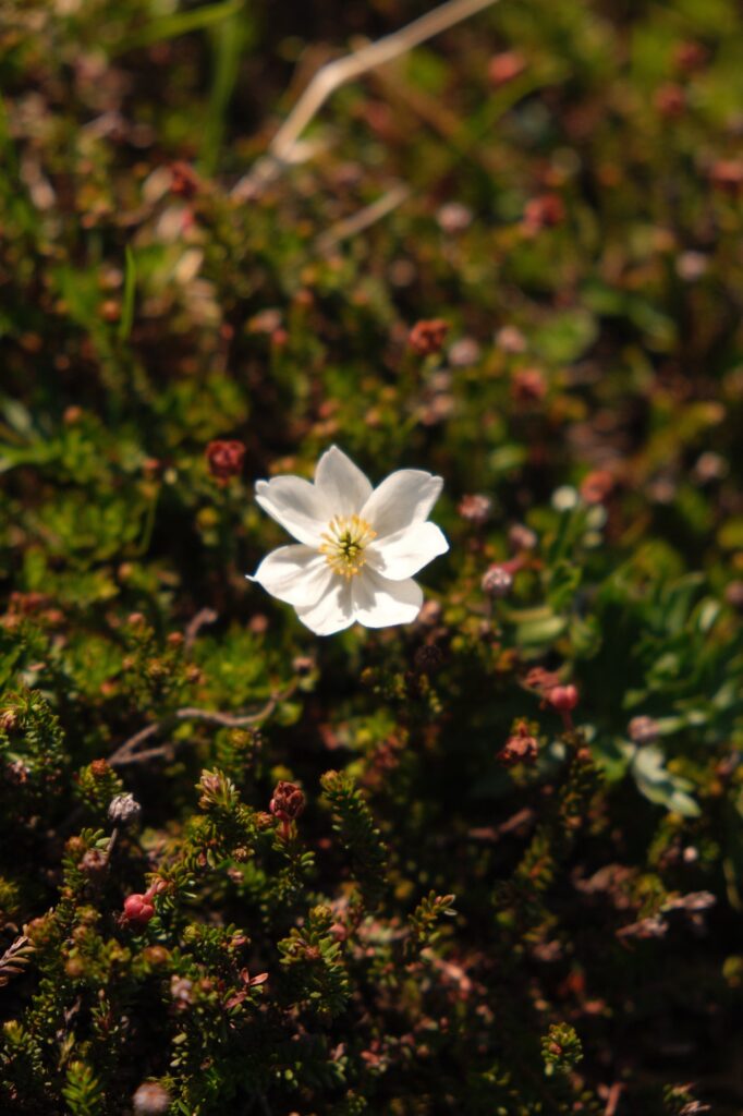
It was fun bouncing around on the grassy mounds watching paragliders launch and land from the surrounding mountains, soaring right above us. We parked above Summit Lake, so we didn’t know how close it was until my sister walked over a small hill and saw it lying just below us. The surprise of the paragliders in combination with Summit Lake and exploring the mine area made for a magical afternoon in Hatcher Pass and the best day that I’ve spent in the pass thus far.
denali
Denali Flight Tour
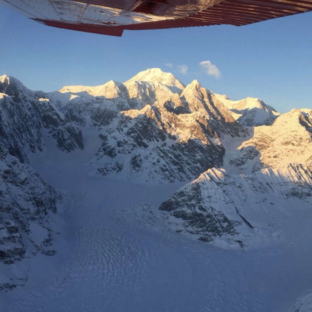
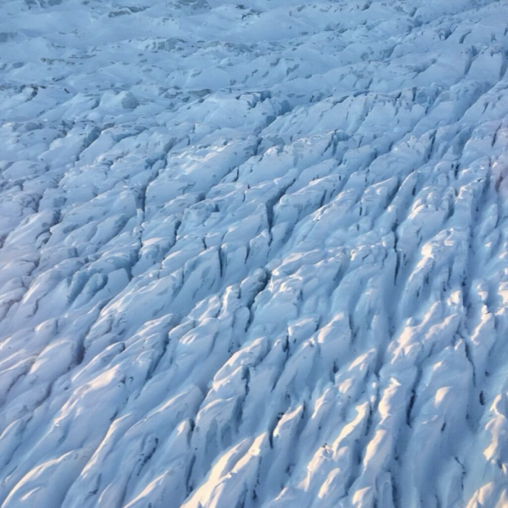
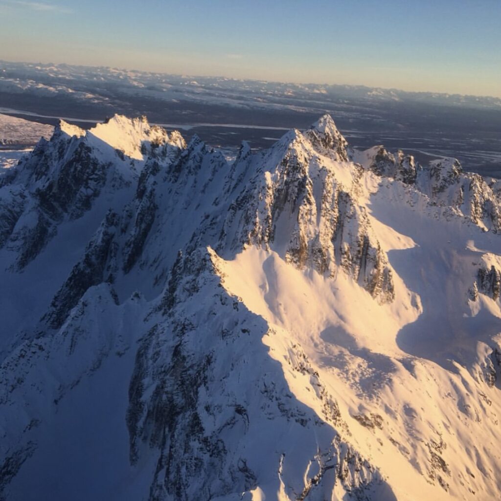
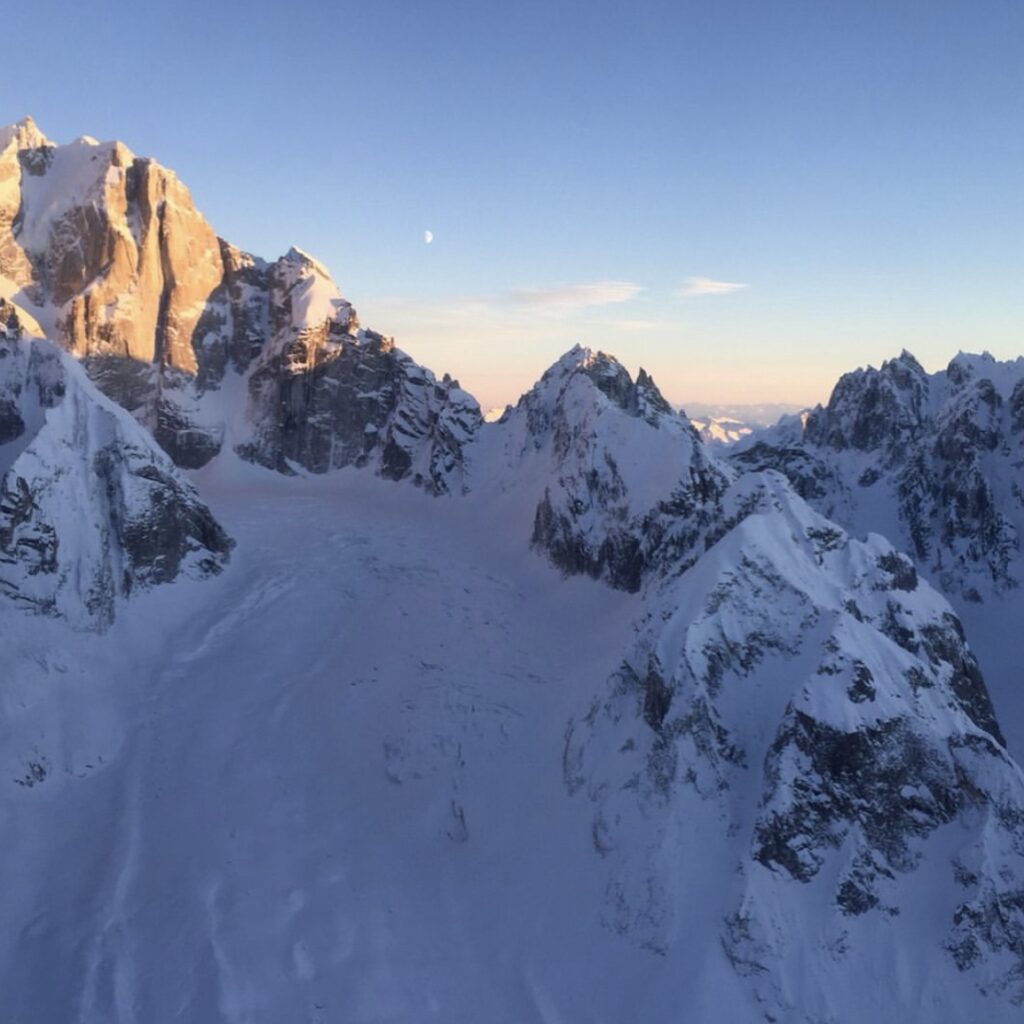
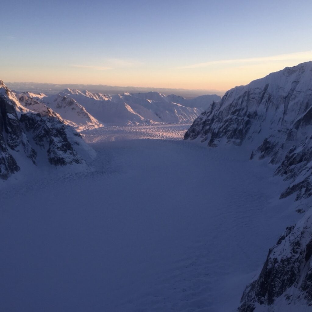
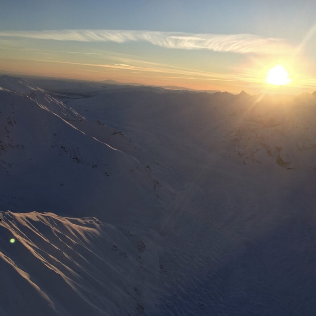
One of my favorite things that I have done in the winter in the Mat-Su Valley is taken a flight tour to the third-highest peak in the world, Denali (fun fact, my uncle named my cousin after this mountain). There are a few different companies to choose from that launch from both the valley and Denali National Park. My family and I did our tour through K2 Aviation, which launches from Talkeetna. The small town of Talkeetna is a 1 hour and 15-minute drive from Wasilla, north of Willow. We did the one-hour long Denali Experience Tour, which costs a whopping $305 per person (I was lucky to have my aunt and her boyfriend pay for my flight). They have other tours to choose from that are even longer, but also more expensive. Aside from offering the flight tour, Talkeetna is a fun town to spend a few hours exploring if you have the time. The honorary mayor of the town used to be Stubbs the cat, who sadly passed away in 2017. During his term, Stubbs was flooded with cards and letters and drew in 30 to 40 tourists each day.
mirror
Mirror Lake
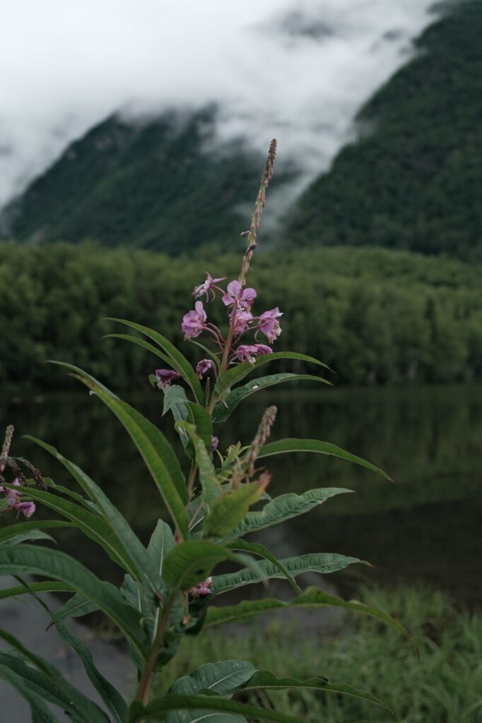
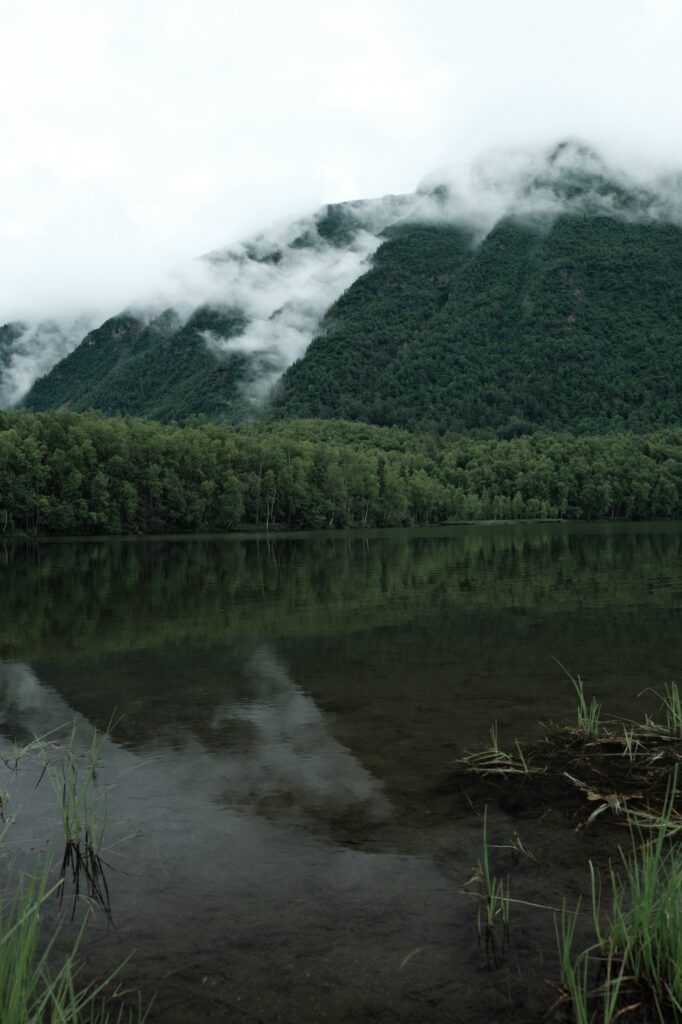
Mirror Lake is about halfway between Anchorage and Wasilla/Palmer. The lakeside is littered with fancy houses and cute cabins. This is a fantastic small, family friendly lake to swim, play on the beach, or paddleboard/kayak at.
Anchorage
Anchorage
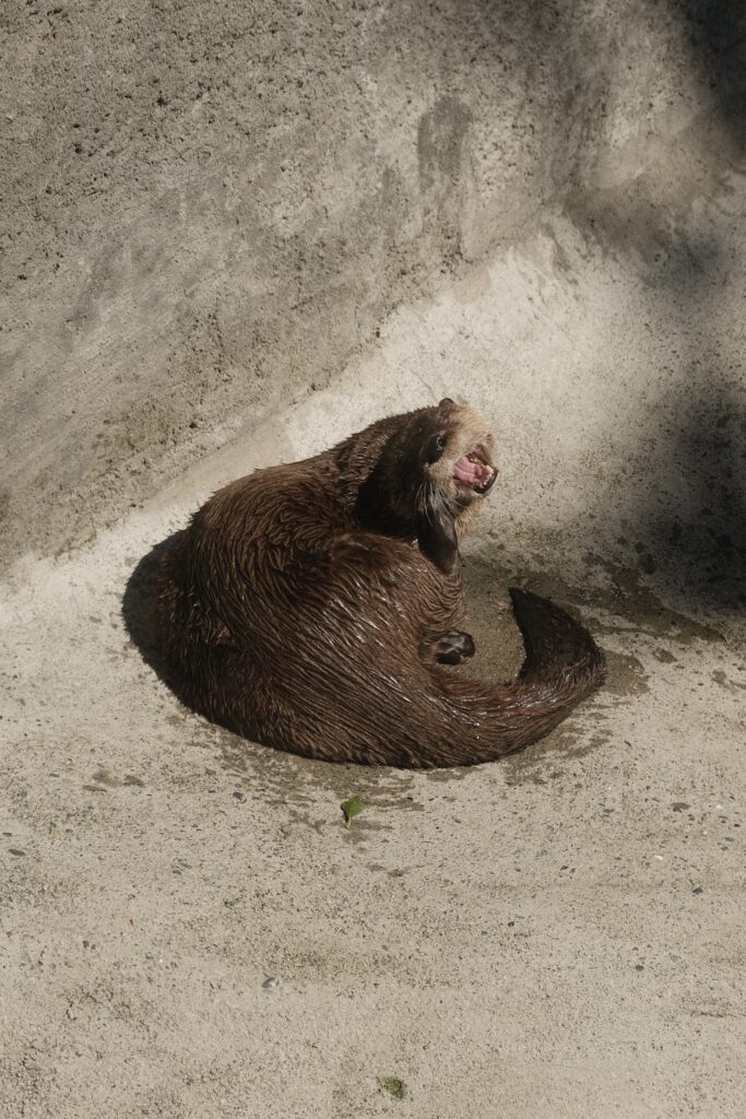
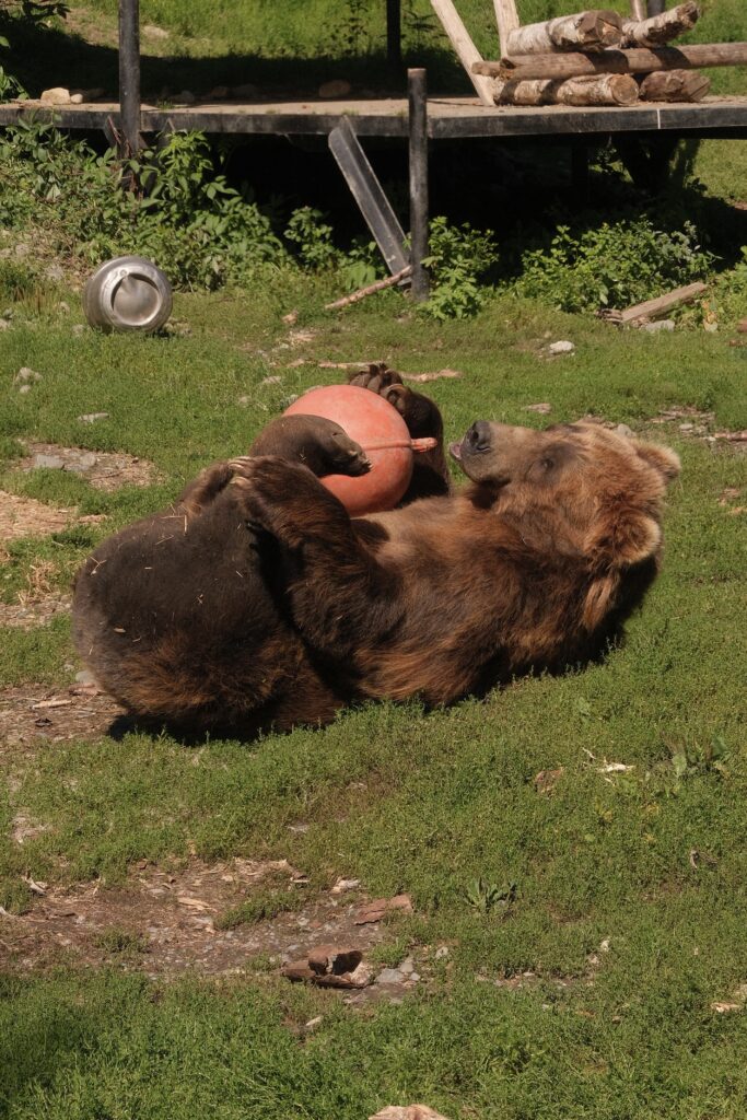
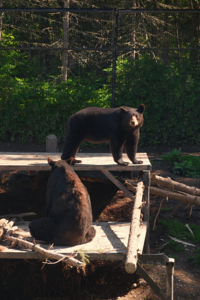
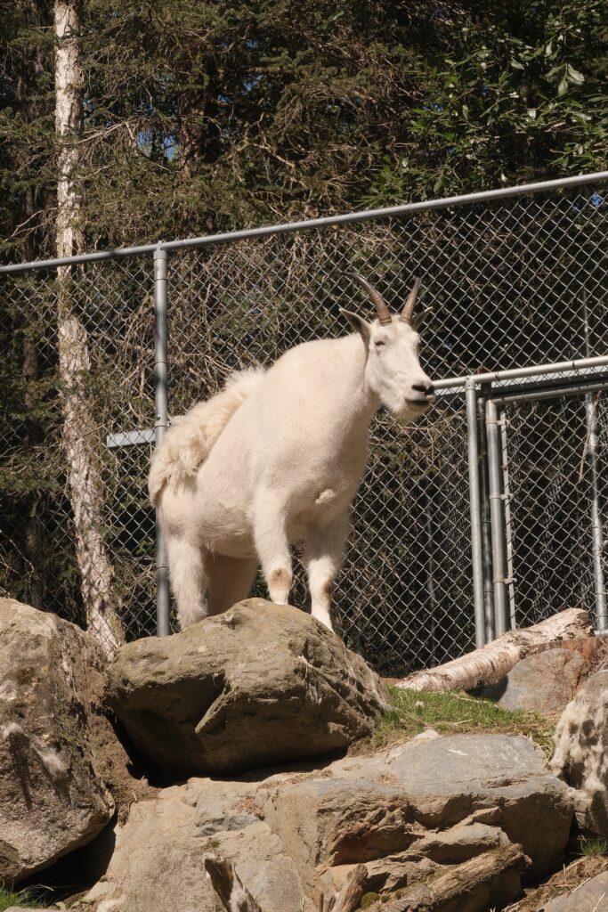
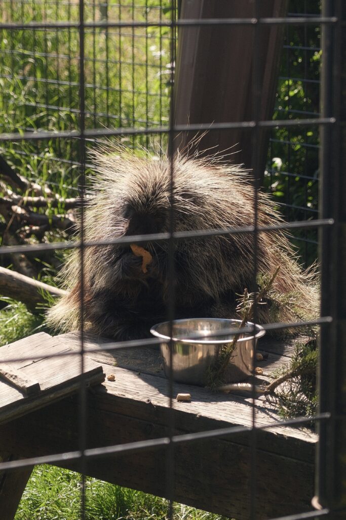
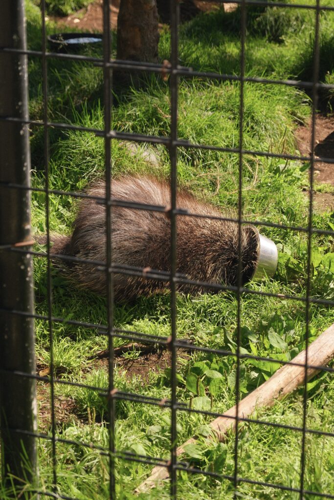
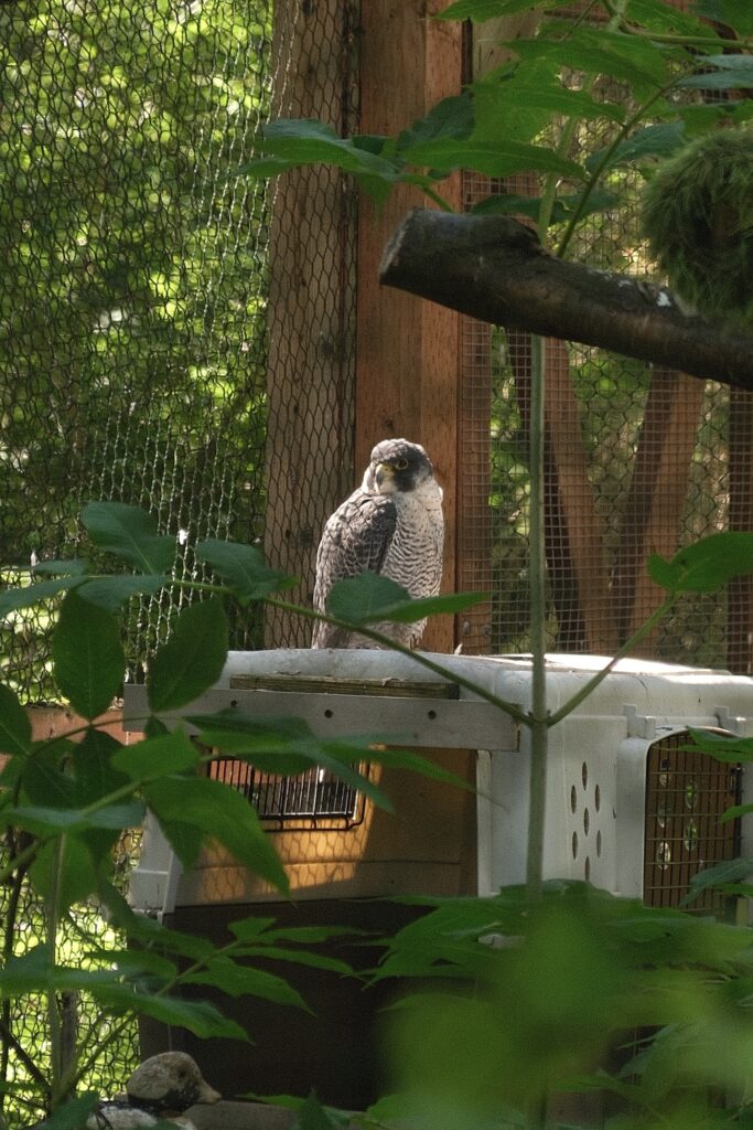
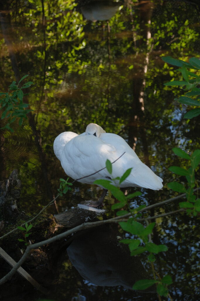
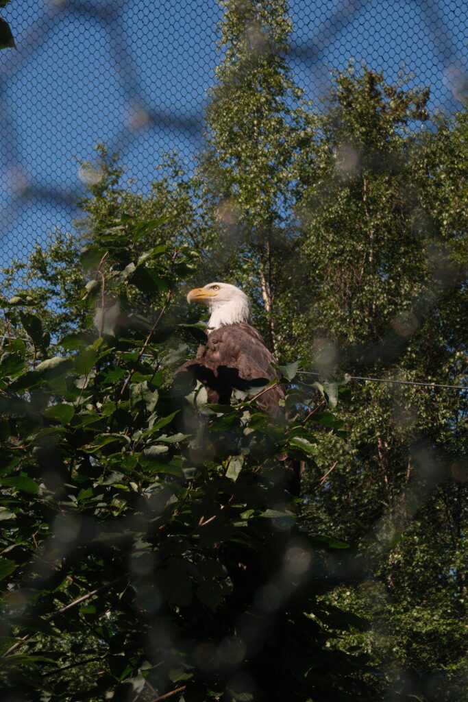
Anchorage is the main hub that connects you to the rest of Alaska. It is where you will fly into (unless you’re flying into Juneau). I am not going to sugar coat this, out of all of the places in Alaska, Anchorage is my least favorite. Anchorage is the most populated city in Alaska and holds about 40% of Alaska’s residents. Compared to the rest of Alaska, you can definitely feel the chaos of the crowds in this city. It has grown over the past few years, and sadly this has brough about more crime, gangs, and homeless people. I have watched Anchorage change in a negative throughout my life. Alaska has so much more to offer, and Anchorage feels like its own little world compared to the rest of the state. Even driving 10 minutes outside of Anchorage makes you feel like you are in a completely different place. The whole point of visiting Alaska is to get outside and explore as much of the beautiful state as you can, not spend time in the largest city. In this case, bigger doesn’t mean better. If you do decide to spend a day or two in Anchorage, I recommend checking out the Alaska Zoo. It is a nonprofit conservation zoo that mainly takes in injured, sick, and orphaned wildlife. You can read more about the zoo here.
shy
Seward Highway
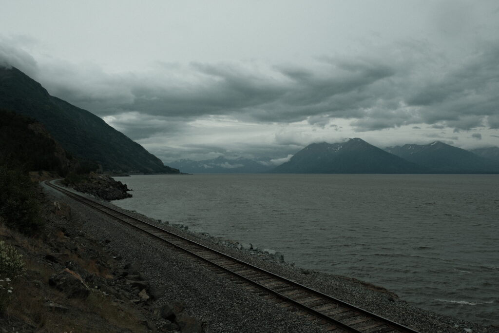
The Seward Highway spans about 125 miles from Anchorage to Seward. This highway is hands down in the top 3 most scenic roads I’ve ever been on. Remember how I said driving outside of Anchorage will make you feel like you’re in another world? As soon as you exit Anchorage to head south, you will be surrounded by the shoreline of Turnagain Arm and mountain ranges as far as you can see. There are many gorgeous and interesting places to stop along the Seward Highway, so let’s talk about a few.
anchorage-girdwood
Anchorage to Girdwood
Immediately upon exiting Anchorage, Potter Marsh Bird Sanctuary (any Harry Potter fans out there?) will be on your left. As the name suggests, this is a fantastic place to birdwatch as you walk along the boardwalk. Birds aren’t the only wildlife you might see along the highway. About five miles ahead lies Beluga Point. Belugas are often seen here and at other lookouts along the Turnagain Arm from mid-July through August when salmon are running in the Cook Inlet.
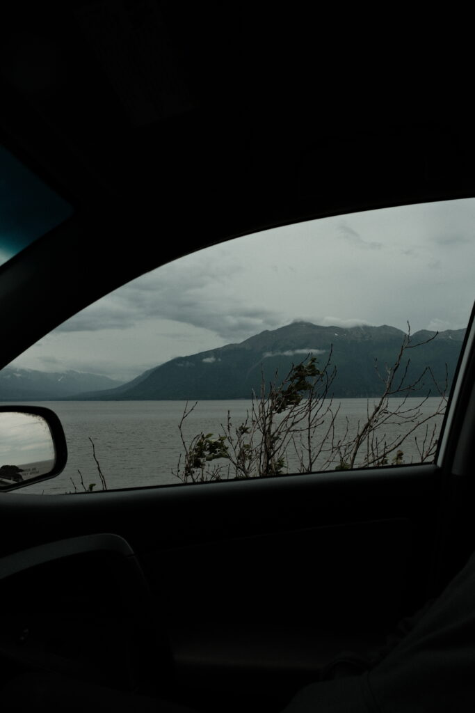
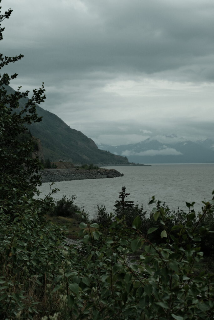
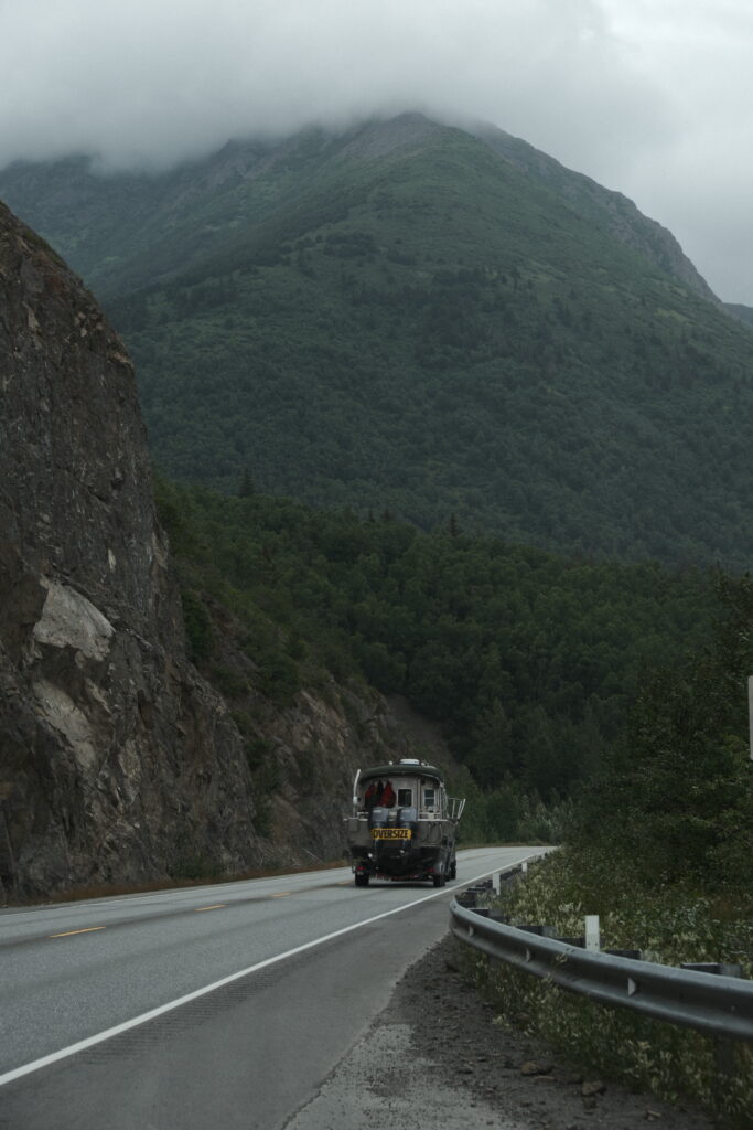
Another five miles beyond Beluga Point you will find Falls Creek Waterfall trickling down the mountainside on your left. This is the base of Falls Creek Trail, one of the many hiking trails along the Turnagain Arm. For the next 15 miles, you will pass by a plethora of pull outs. Do not hesitate to pull off whenever you see a spot to do so! Each pull out has its own unique view and some have other waterfalls at them. If you’re wanting to spend more time along Turnagain Arm, then you should check out Bird Creek Campground and look into hiking one of the many trails tucked away from the highway.
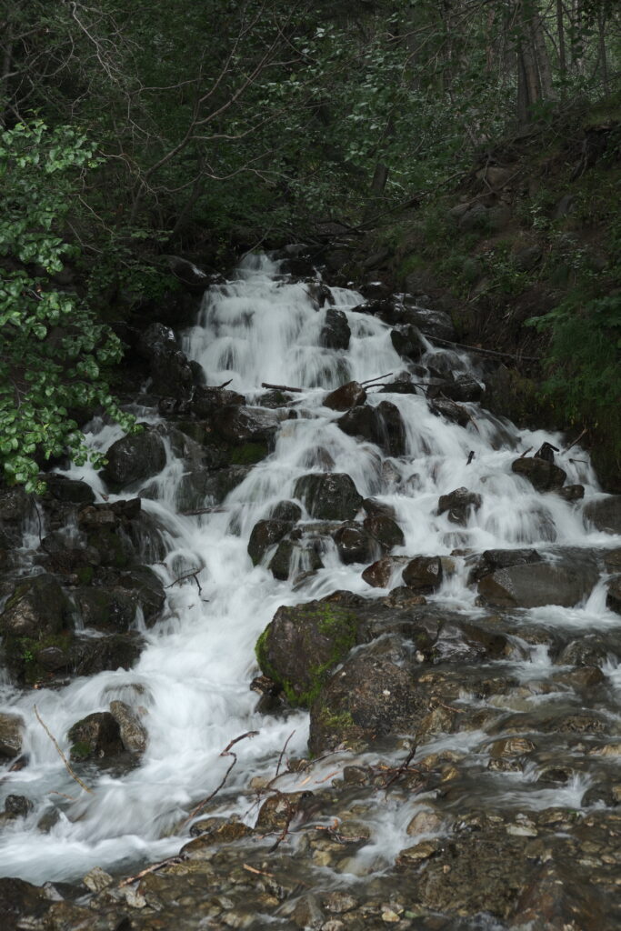
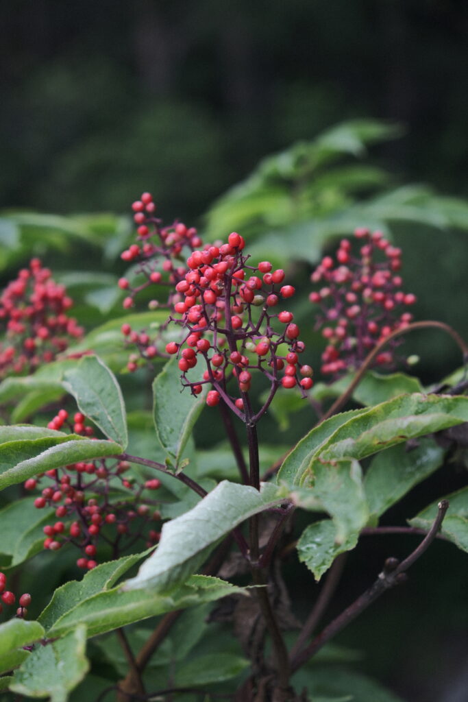
Near the end of Turnagain Arm lies the small town of Girdwood. You will know that you are in Girdwood when you see a big gas station off the highway to your left. This gas station is always busy because it is the last large rest stop with a gas station until you reach either Moose Pass on the Seward Highway or Cooper Landing on the Sterling Highway. So, be sure to grab some snacks, relieve your bladder, and fuel up!
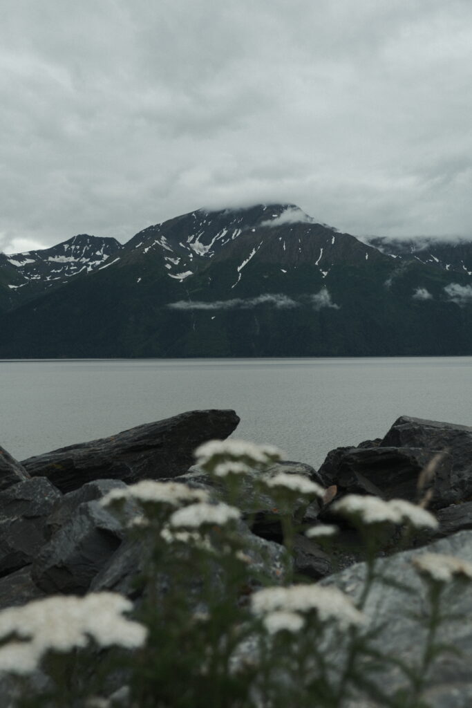
Behind Girdwood is the Alyeska Ski Resort. While the resort is more popular in the winter, bringing in skiers and snowboarders from all over the world, there is plenty to do around the resort in the summer. My sister and I have been to the resort a few times in the winter. It is definitely worth it to spend a day or two here if you like to ski or snowboard. Even if you are a beginner, the resort is a great place for novices (like my sister and I) and has some easy runs at the base of the mountain. In the summer, the tram is still operable and will take you to Mount Alyeska Summit. There are also many hiking trails around the resort area and near Girdwood.
Portage Lake & Whittier
Portage Lake & Whittier
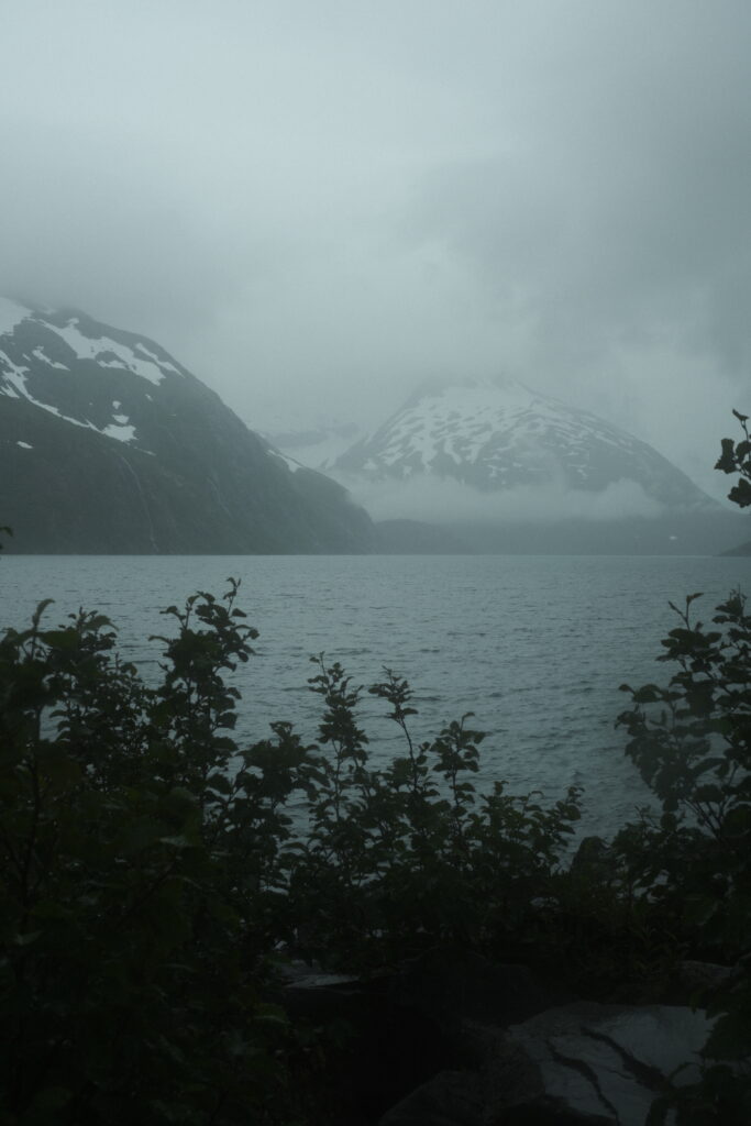
At the tip of Turnagain Arm is the Alaska Wildlife Conservation Center, a sanctuary full of Alaskan wildlife. Right across from the conservation center is Portage Glacier Road. Portage Glacier Road contains many hiking trails and campgrounds, but the main attractions on this road are Portage Lake and Whittier. Portage Lake is a little more than halfway down the road. This lake is home to Byron Glacier and Portage Glacier. The trail for Byron Glacier is close to the Begich, Boggs Visitor Center. Both Byron Glacier and Portage Glacier can be seen from the visitor center. To get closer to Portage Glacier you have to either pay for a boat tour to cross the lake or hike Portage Pass Trail from Whittier. Whittier is an extremely small town that you can reach by driving through a train tunnel. The schedule to drive through the tunnel to this unique town is here. There isn’t a lot to do in Whittier itself, but there are many outdoor activities in the surrounding area, such as hiking trails and jet ski tours to Blackstone Bay.
Kenai Peninsula Sign to Tern Lake
The Kenai Peninsula
Only four miles past the entrance to Portage Glacier Road stands the “Welcome to Alaska’s Kenai Peninsula” sign. Every time I pass this sign, I feel immediate peace because I know that I am back home. The Kenai Peninsula is an outdoor enthusiast’s paradise. The peninsula contains countless wildlife from moose to bald eagles, hiking trails galore, rivers and lakes waiting to be canoed, kayaked, or rafted on, and fishing opportunities.
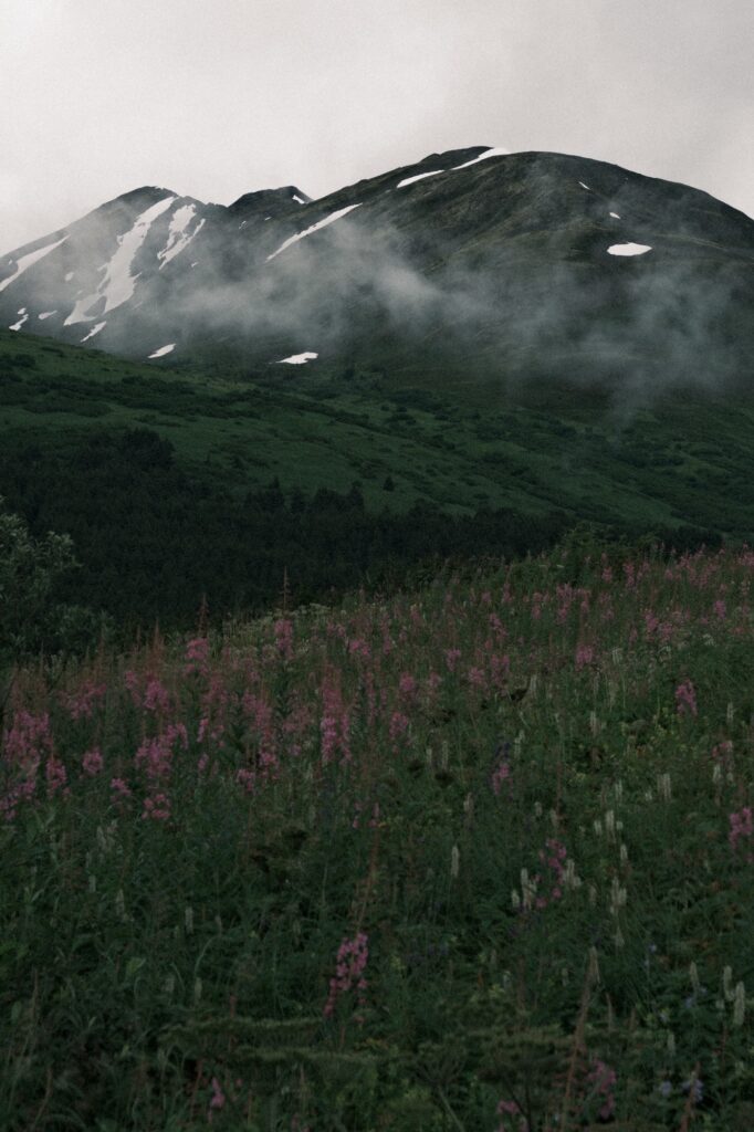
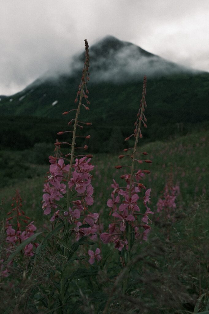
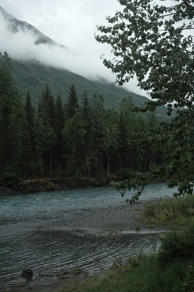
For the next 38ish miles, you will be enveloped by Turnagain Pass, also known as “the pass”. Surrounding landscape will be littered with mountains, forest, waterfalls, lakes, and rivers. Turnagain Pass Snowmobile Parking Lot and Canyon Creek Rest Area are two popular spots to stop that have outhouses with amazing views.
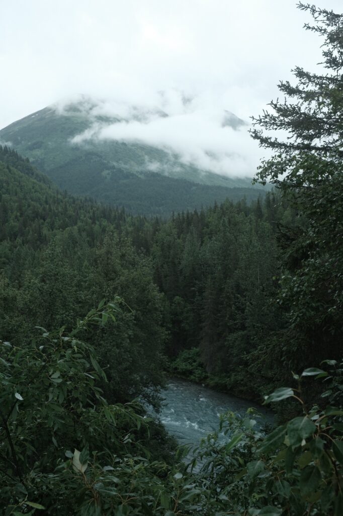
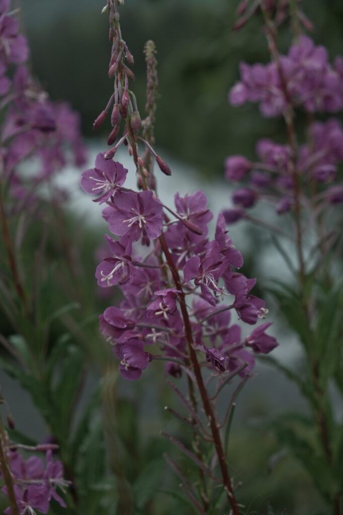
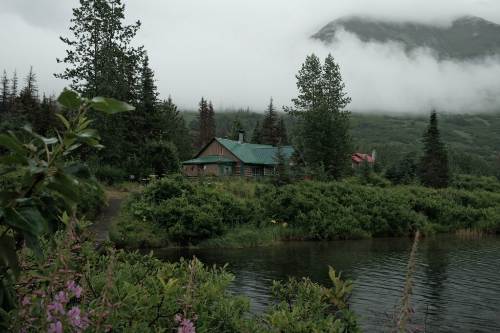
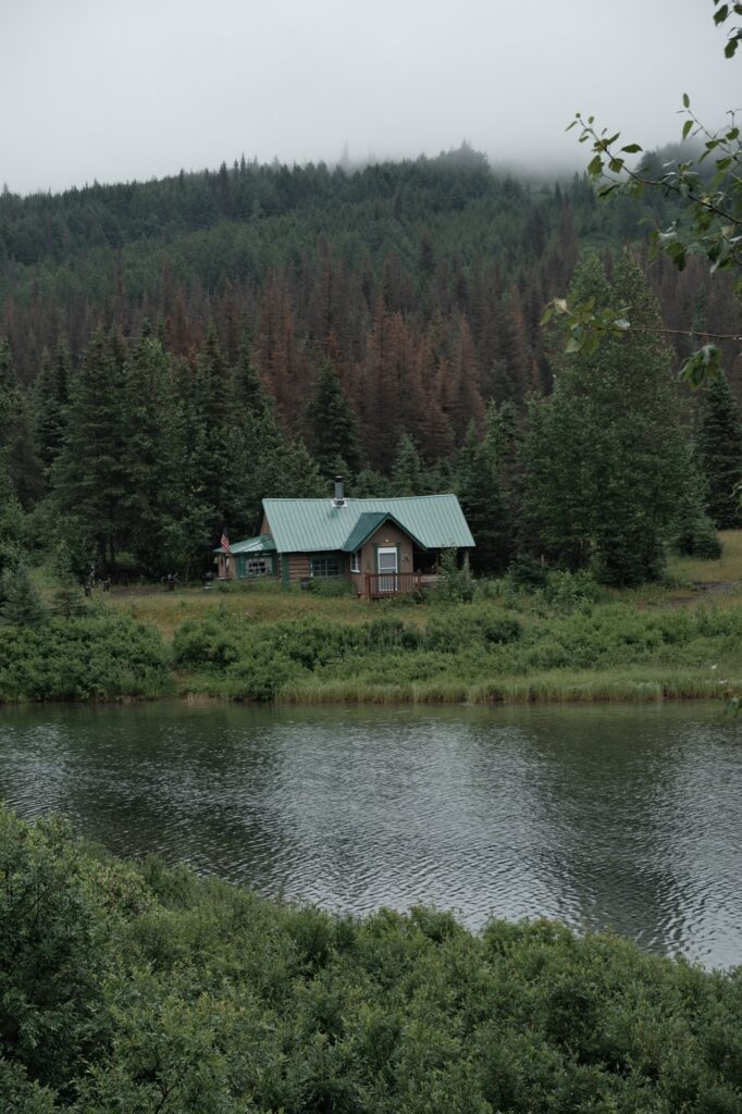
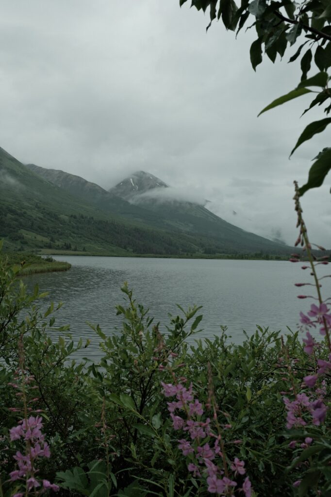
One of my favorite places to stop at is Lower Summit Lake (pictures below). There are two cabins that sit on the north shore of this lake. I’ve driven by these cabins countless times and always though they were adorable. I would make up stories in my head where I would live in one of the cabins and have nothing to do all day but hike and explore. I’m fairly sure these cabins aren’t lived in year-round because they are extremely far from grocery stores. I’ve always wondered who owns them.
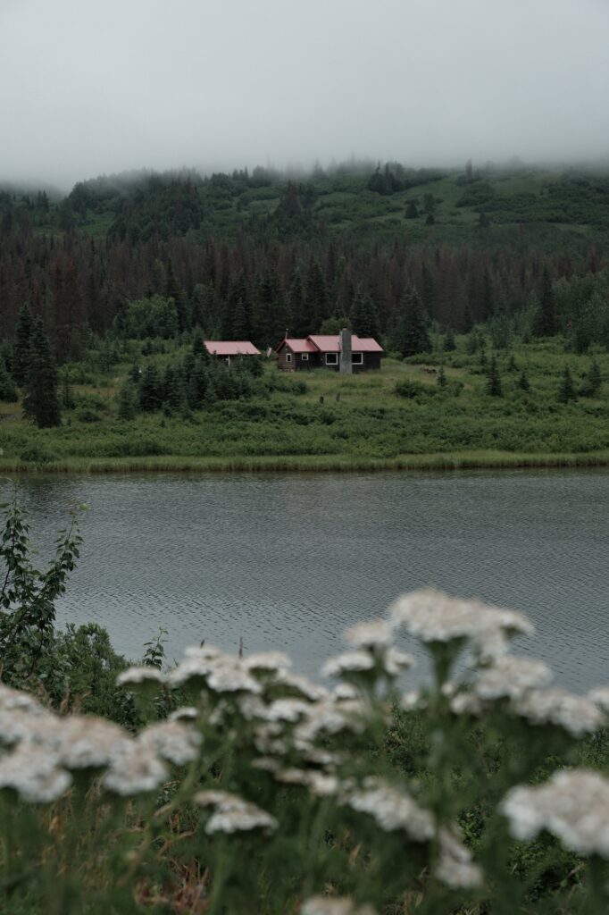
Tern Lake
Tern Lake
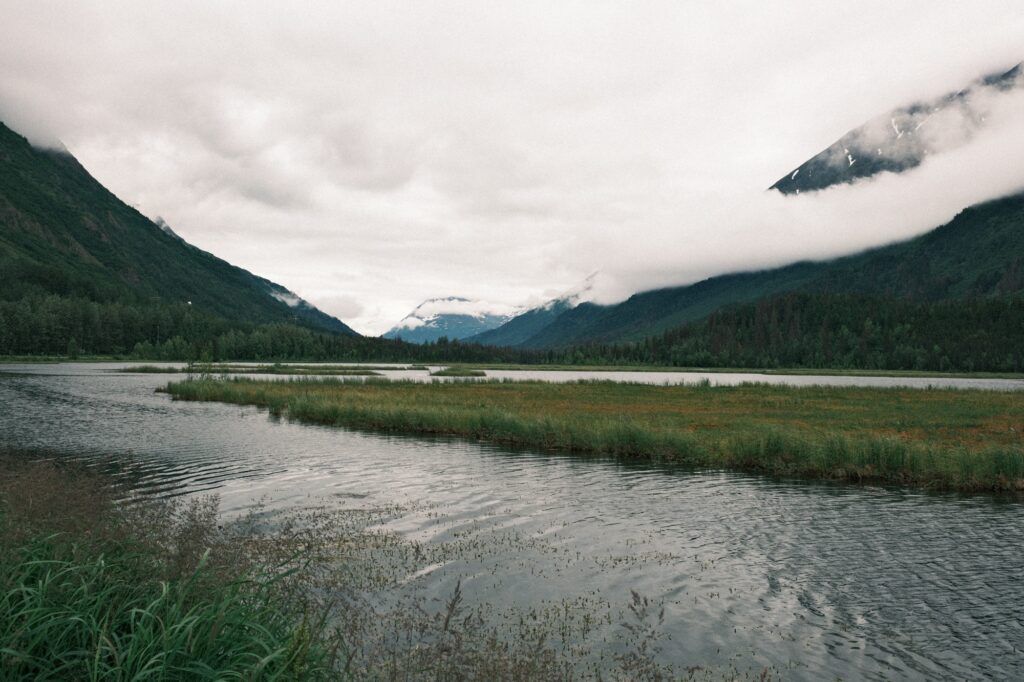
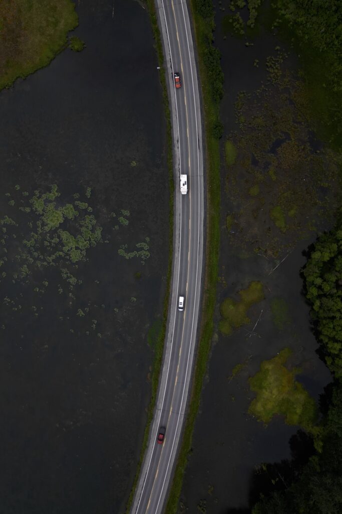
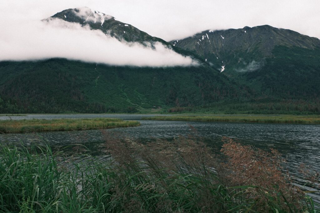
Arrival at Tern Lake signals a split in the road. You can either continue straight along the Seward Highway towards Seward or turn to the west on your right-hand side to follow the Sterling Highway to the rest of the Kenai Peninsula. For now, we are continuing towards Seward for another 37 miles, but I’ll talk about the Sterling Highway later.
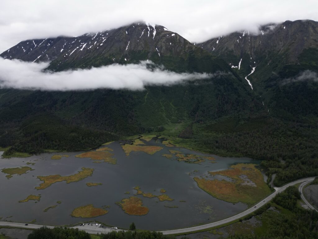
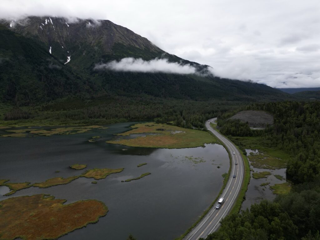
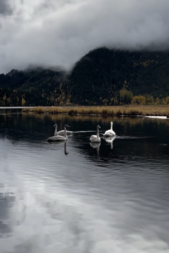
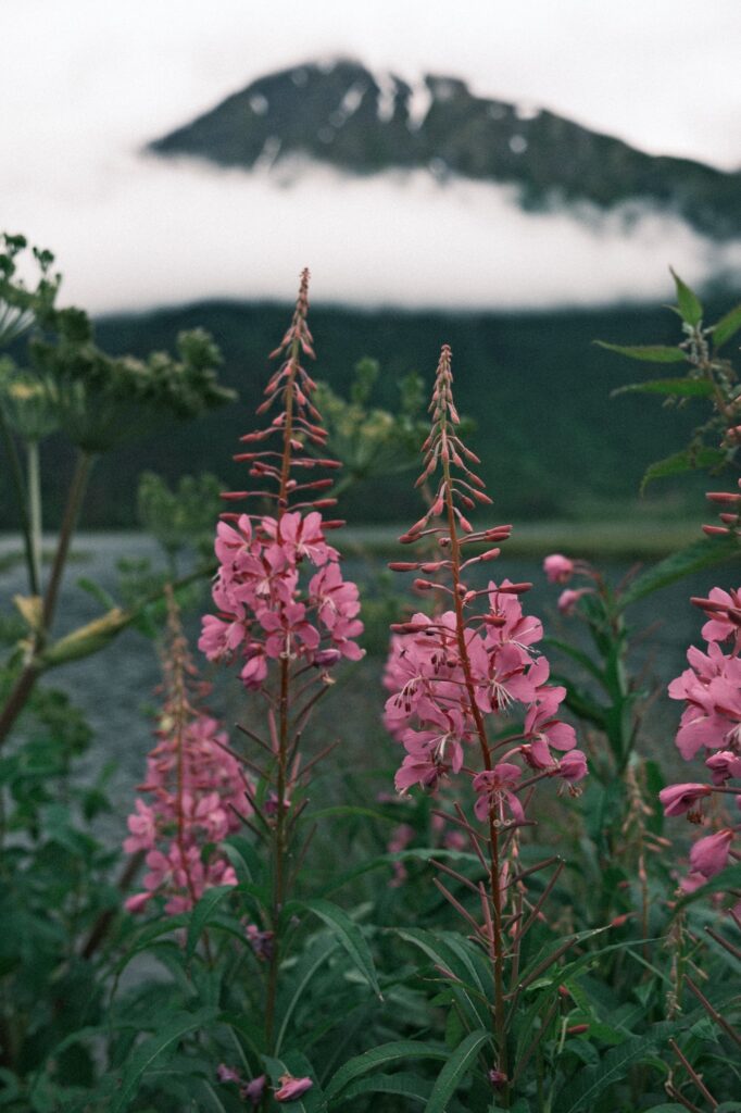
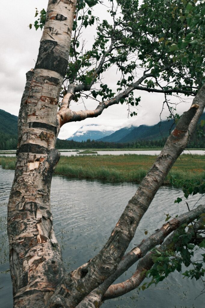
Before heading to Seward, it is worth stopping at Tern Lake Pullout. Tern Lake is gorgeous and offers some breathtaking views. If you’re lucky, you might even see swans gliding over the lake’s surface.
Moose Pass
Moose Pass
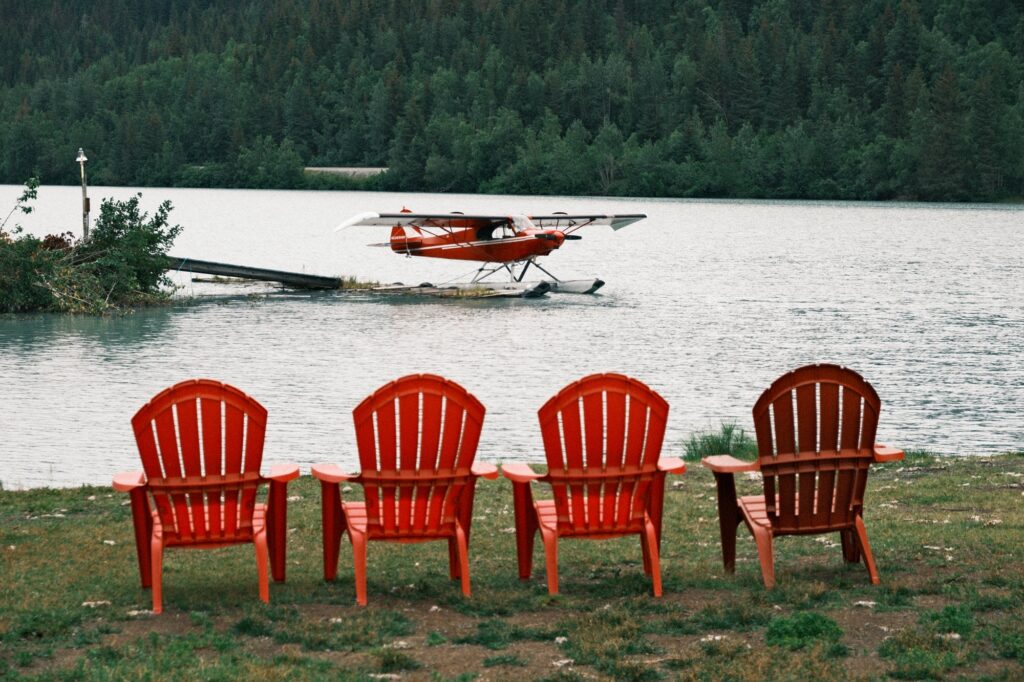
As you drive to Seward you will pass through a couple small towns, one of them being Moose Pass. Moose Pass is an adorable town that sits along Trail Lakes. Further down the road you will pass by massive Kenai Lake and other lakes, but most will be hidden in the surrounding mountains. There are several pull outs and hiking trails along this section of the highway too.
seward
Seward
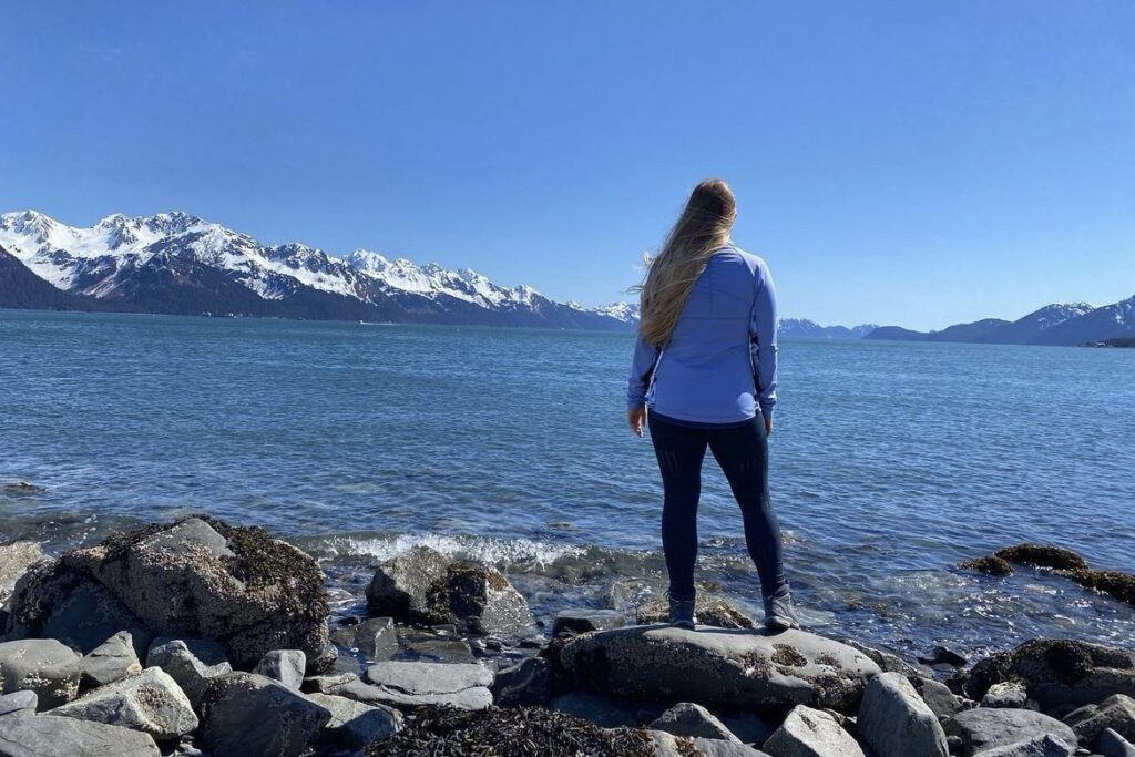
Seward is one of my favorite cities in Alaska. I recommend spending at least one or two nights here. My fiancé and I have stayed at the Alaska Creekside Cabins and loved it. Be aware that these are dry cabins without running water, but there is a shared bathroom and shower building in the middle of the cabin area. If you are looking to stay somewhere less rustic, then there are plenty of other lodging options to choose from. There are many hiking trails around Seward as well as water activities on Resurrection Bay. The bay sprawls out to the south of Seward offering many hidden gems that are only accessible by boat. To explore the bay, there are different tours available from guided kayak trips to day cruises. I would definitely google the different tour options and schedule one while in Seward!
Alaska SeaLife Center & Downtown
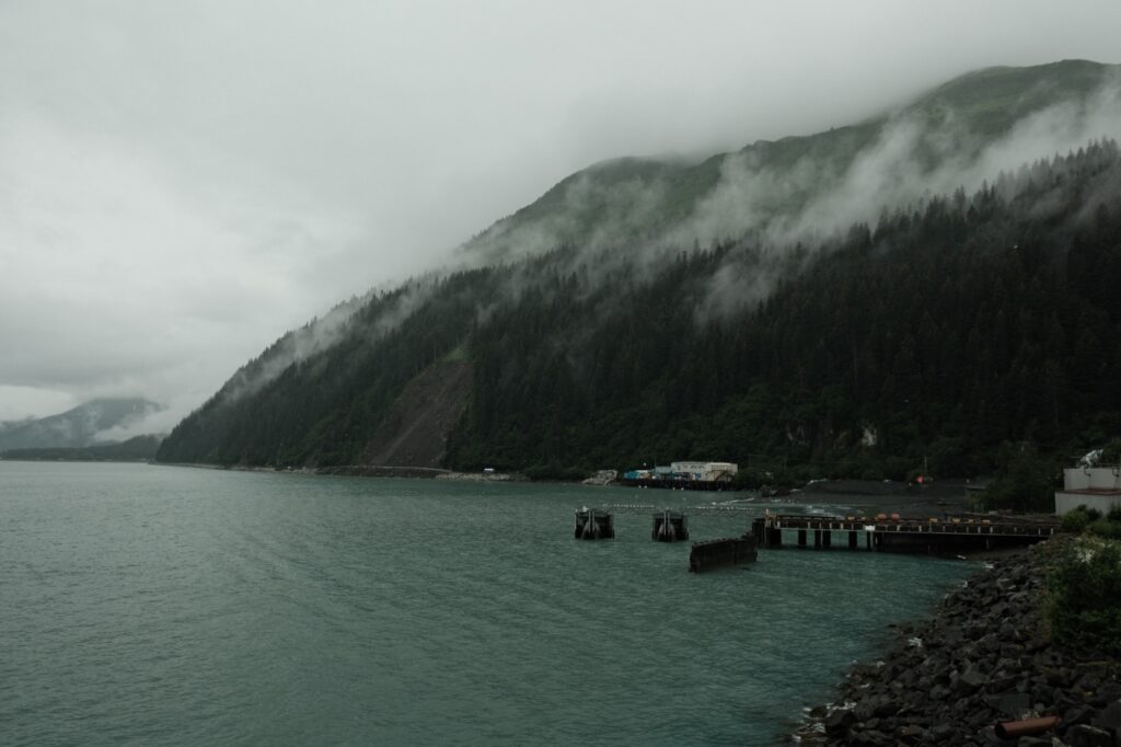
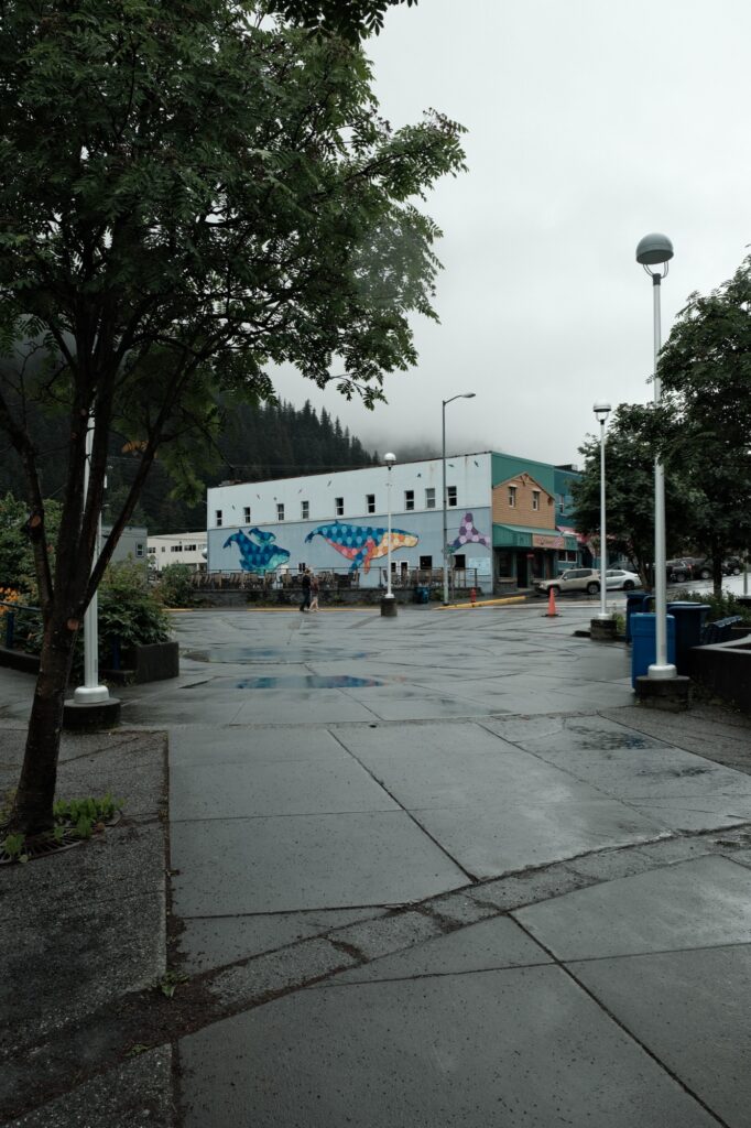
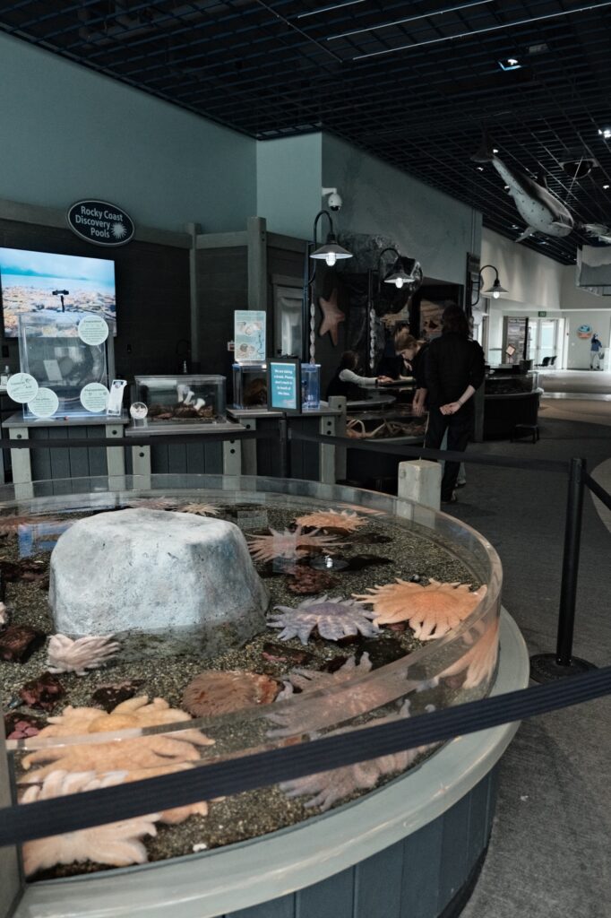
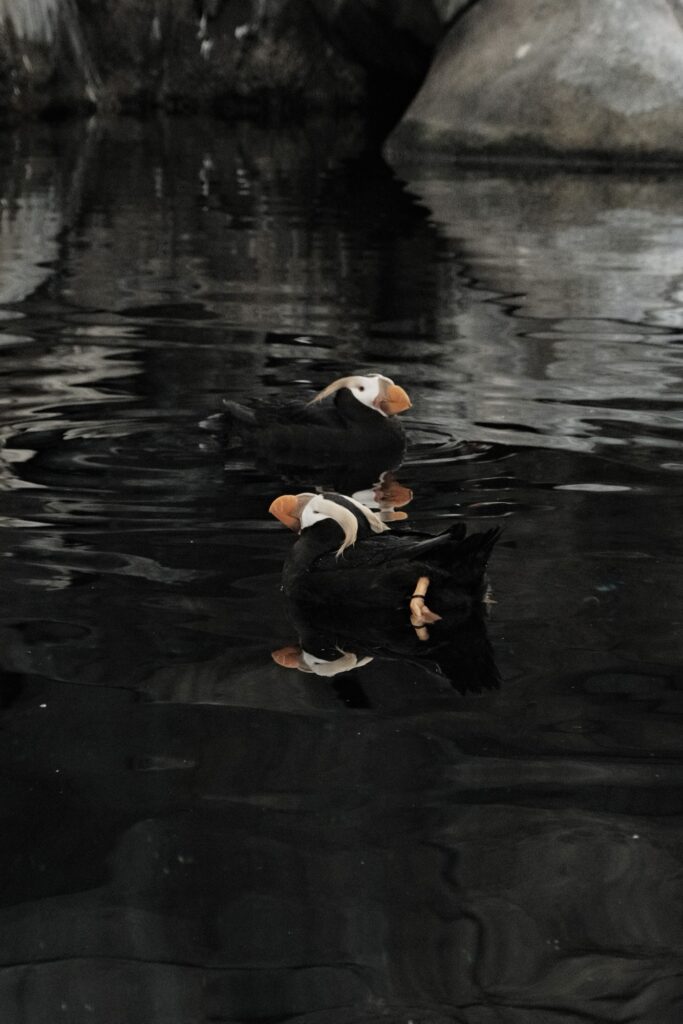
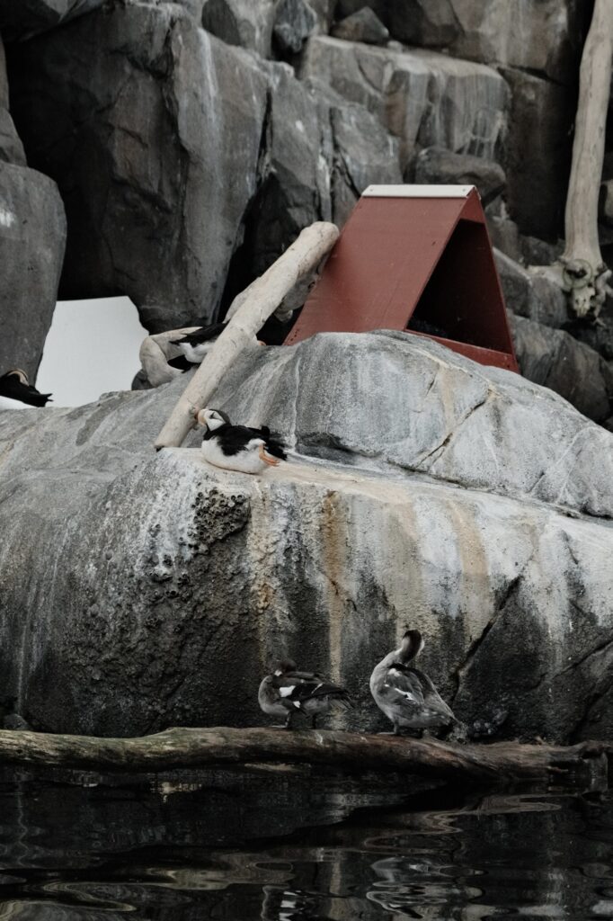
The downtown area in Seward is a great place to explore shops and restaurants. Walking around you will notice that a lot of buildings are covered in colorful hand painted murals. Right on the shoreline of Resurrection Bay lies the SeaLife Center, an aquarium and Alaska’s only permanent marine mammal rehabilitation facility. This was one of my favorite places to go growing up and I looked into interning here while I was getting my environmental science degree. It is a fun place to take your family, especially if you have little ones with you.
Seward Boat Harbor
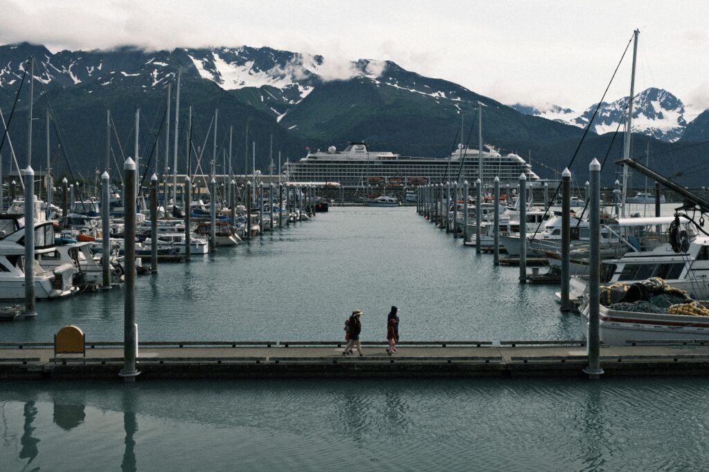
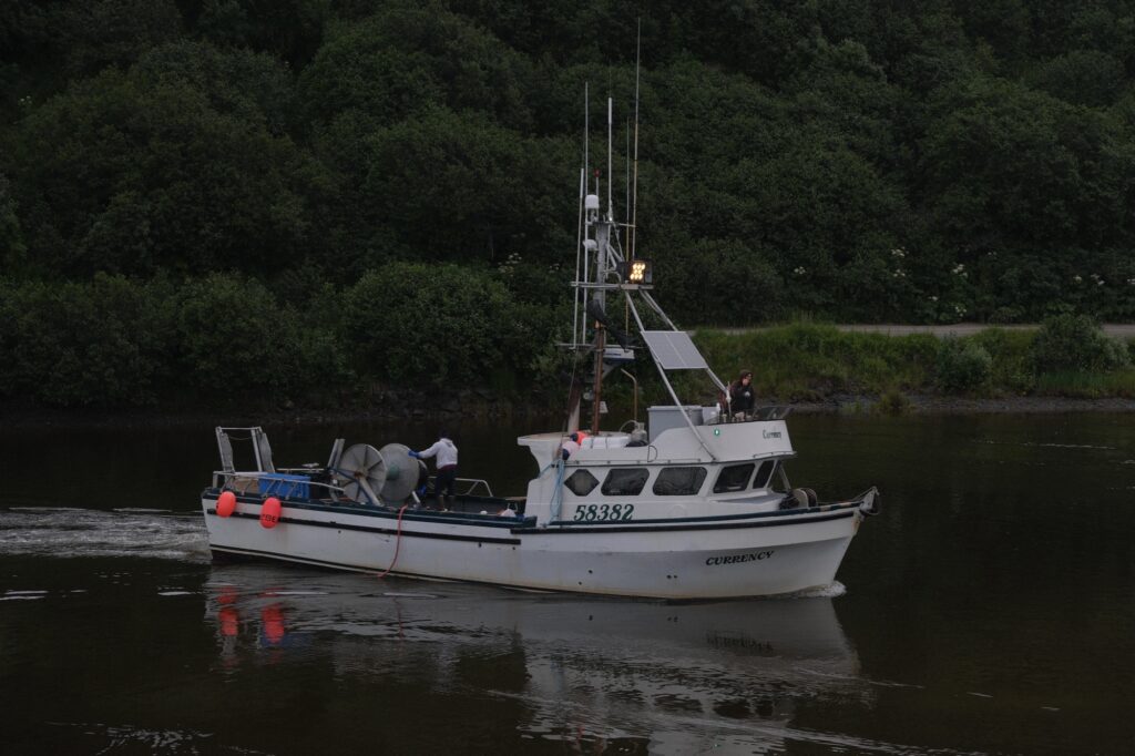
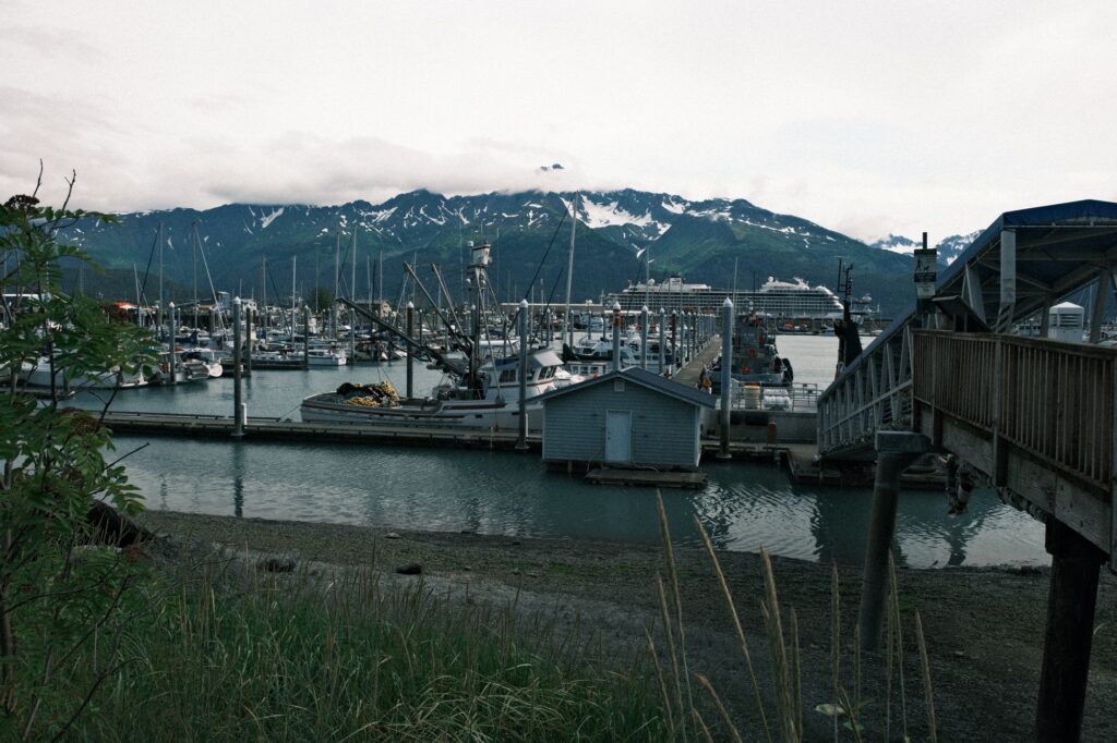
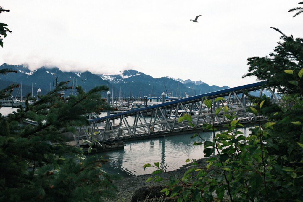
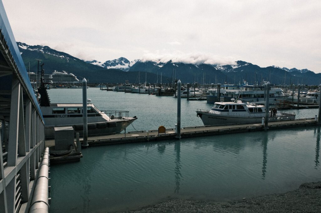
Seward harbor is very busy in the summer. The harbor welcomes fishing boats, cruise ships, the U.S. Coast Guard, and much more. From restaurants, art galleries, and shops to activity check-ins for adventures like ziplining, the Seward Boat Harbor has plenty for travelers to do. One of my favorite places to eat at the harbor is at The Porthole, which has breakfast and lunch options. If you are looking for a fancier seafood fine dining experience, then Ray’s Waterfront might be up your alley.
Exit Glacier
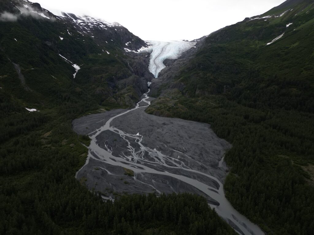
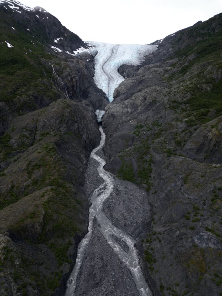
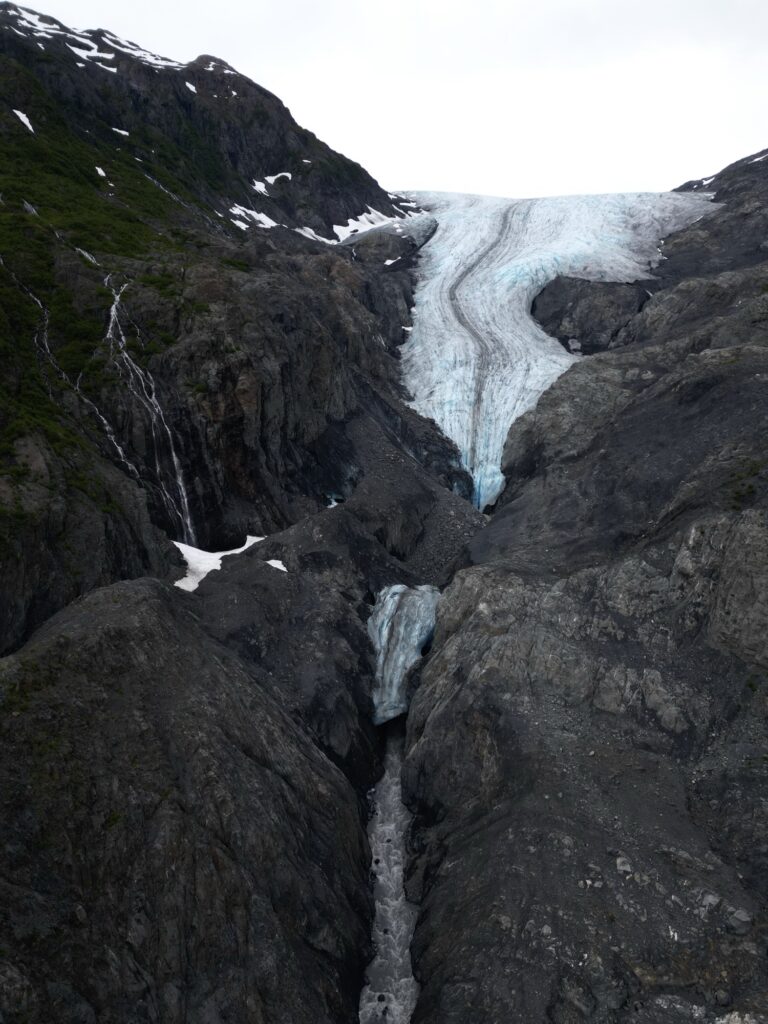
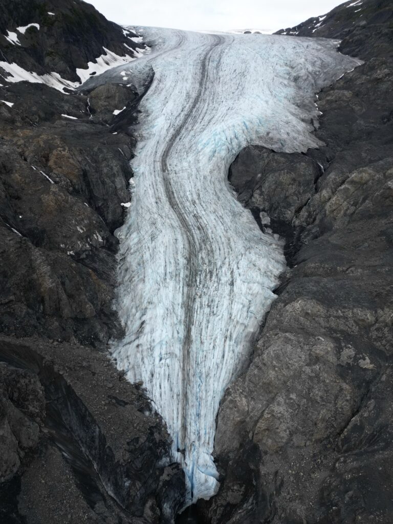
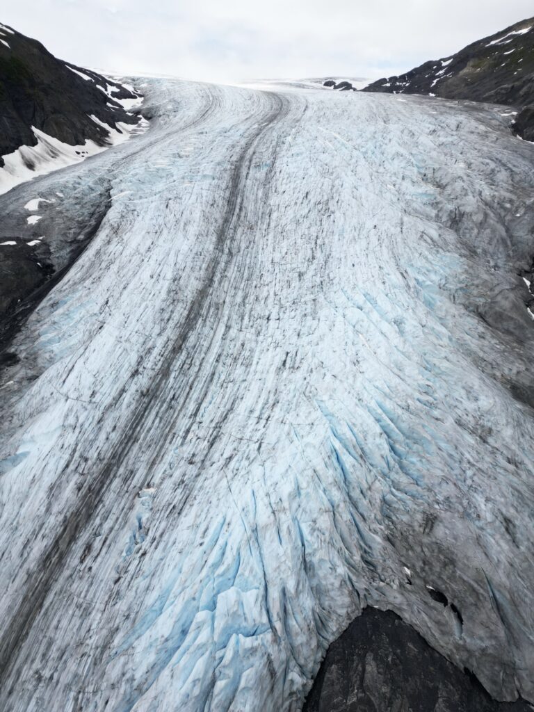
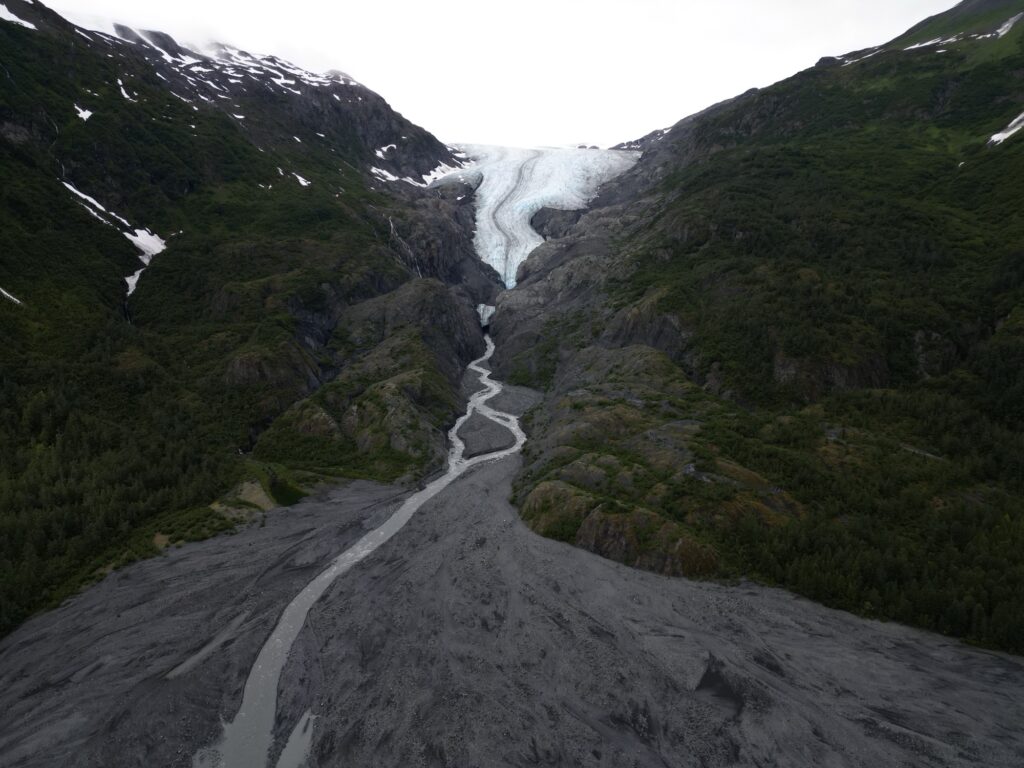
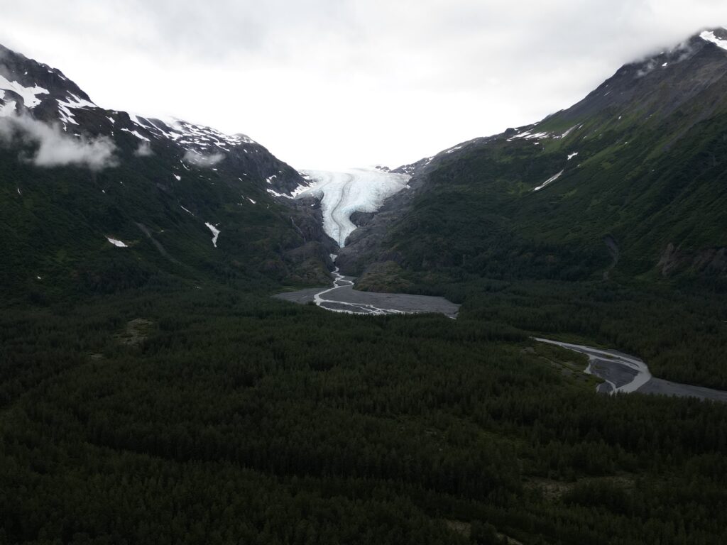
Exit Glacier is a glacier derived from the Harding Icefield in the Kenai Mountains. Sadly, this glacier has receded a significant amount in the past few years due to global warming. I visited this glacier in 2015 and was able to walk right up to it on the beach and touch the toe. Now, it has melted back into surrounding rock and is no longer accessible from the beach. You are not able to touch the glacier anymore either due to an ice fall hazard zone. Even though you can’t get close to the glacier, there are are gorgeous views of it via one of the many trails. The most popular trail is Exit Glacier hike which is 2.5 miles roundtrip with 300 feet of elevation gain.
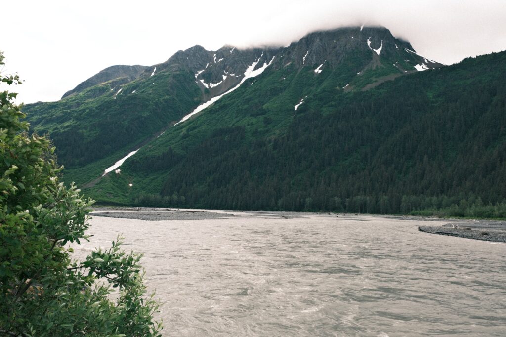
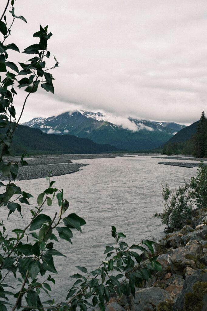
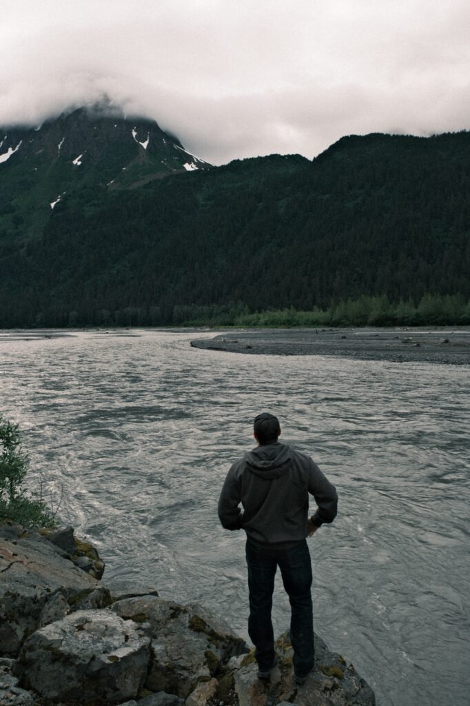
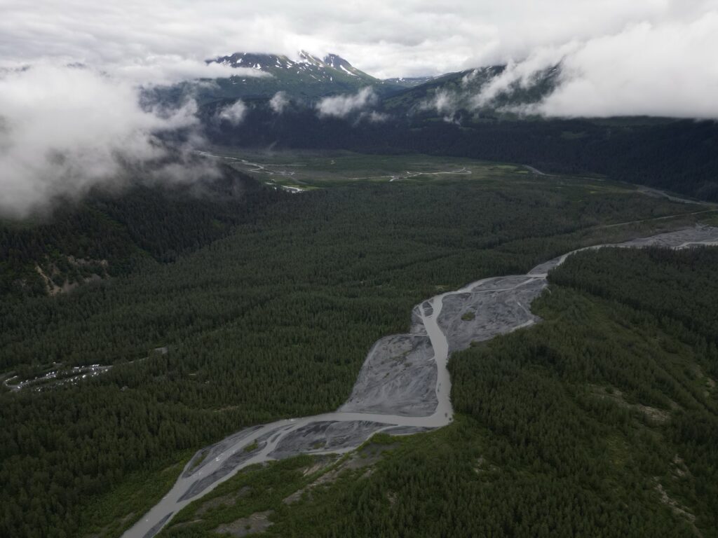
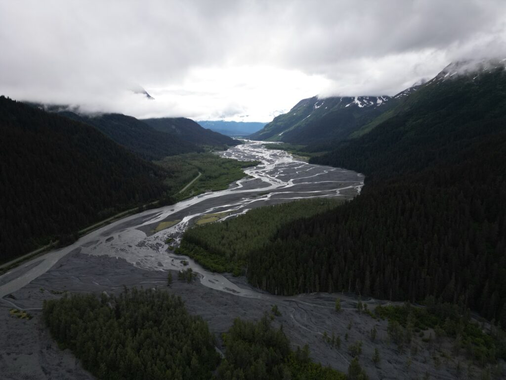
The road leading up to Exit Glacier offers scenic views of its own. Glacial runoff draining into Resurrection River will parallel you on the left. There are a couple of pullouts along the road offering sweeping views of the area.
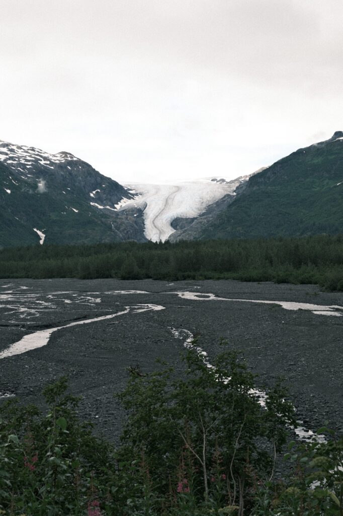
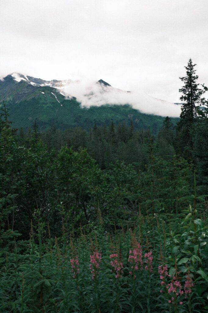
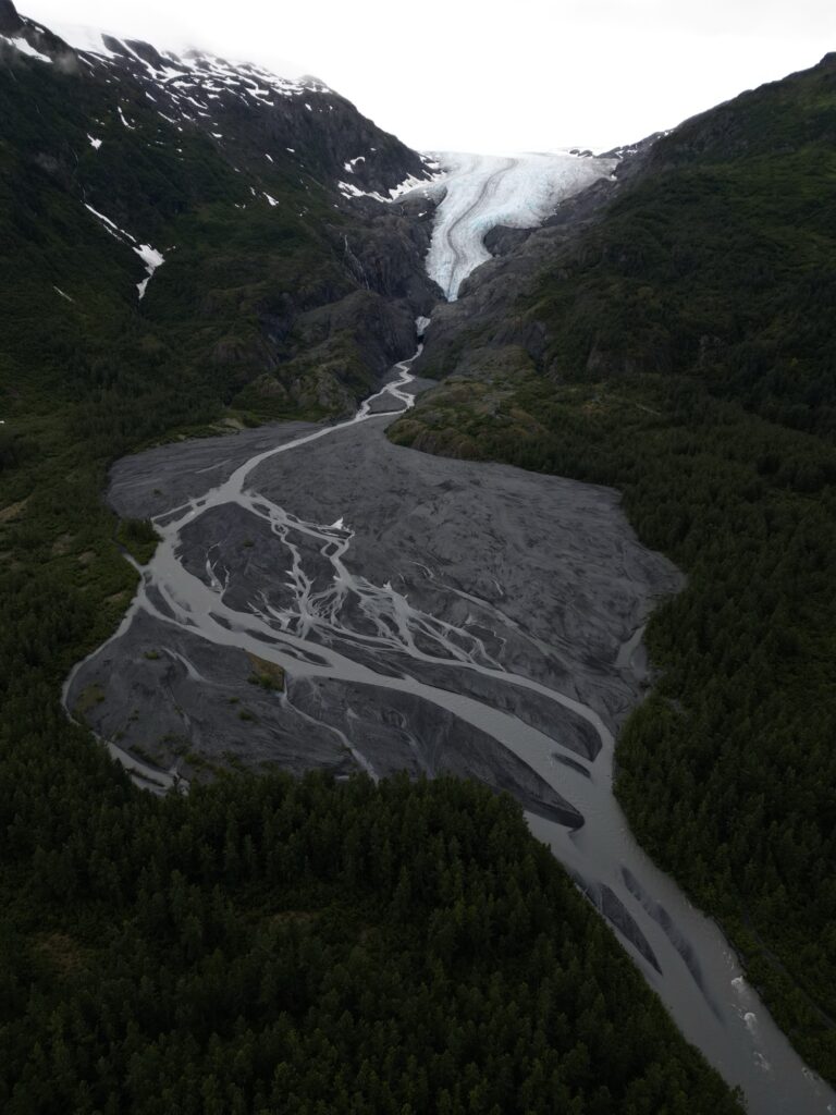
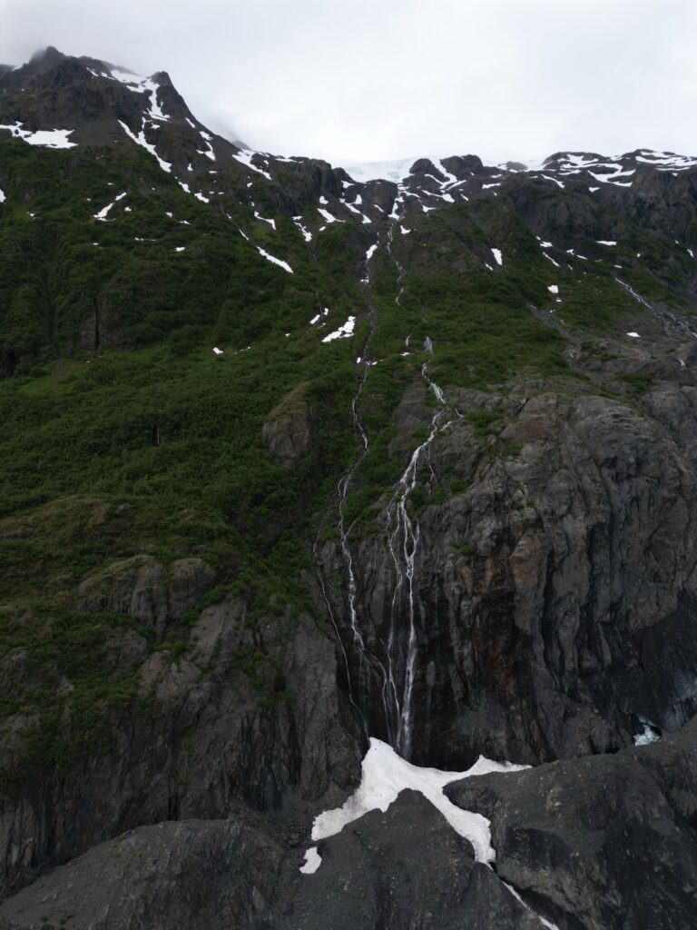
Exit Glacier Viewpoint has the best view of the glacier from the road. This is where I captured the two photos above. I also flew my drone over to Exit Glacier to get a bird’s eye view of the area.
sterling
The Sterling Highway
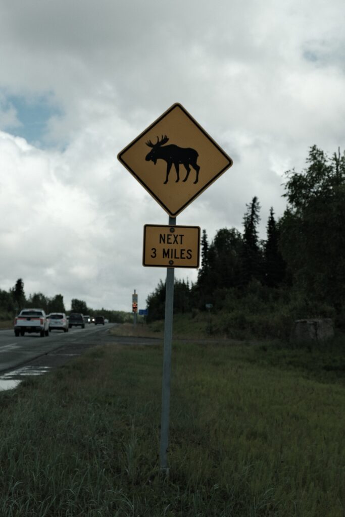
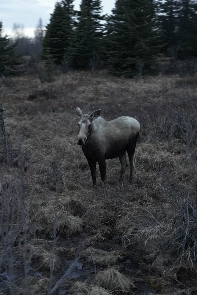
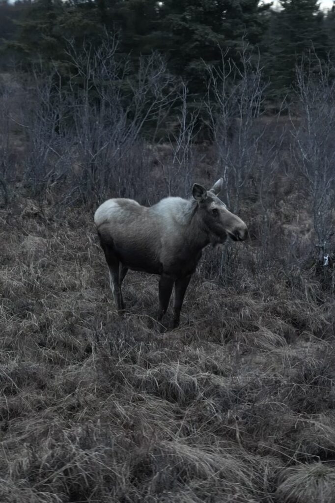
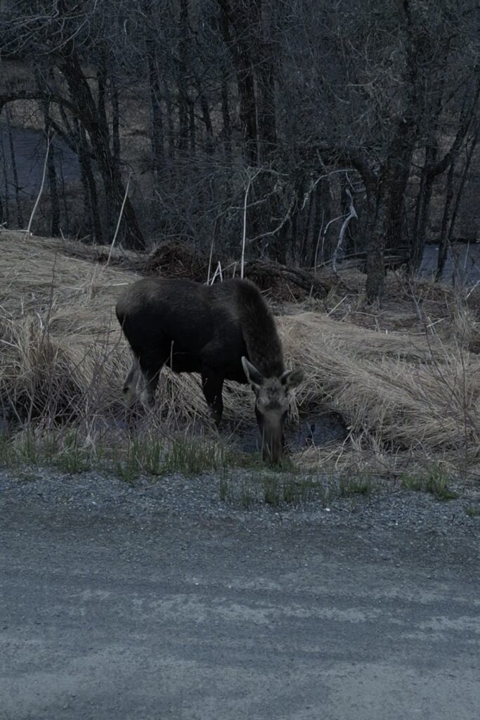
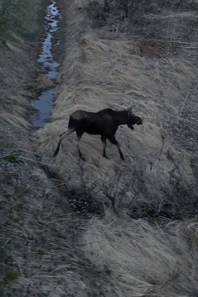
The Sterling Highway begins at Tern Lake and stretches 132 miles to Homer. Along this highway you will see even more mountains, lakes, and rivers. If you’re lucky, you might even spot a moose! It is common for moose to run out onto the road, so be on the lookout for them. Despite their size, they tend to sneak up on you and appear out of nowhere.
Cooper Landing
Cooper Landing
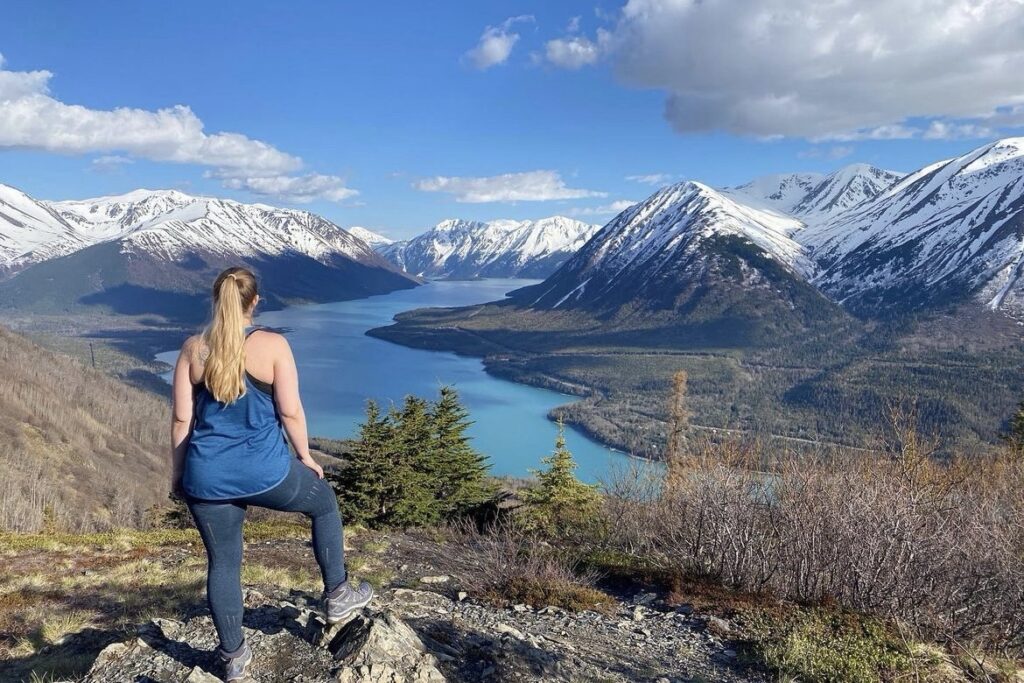
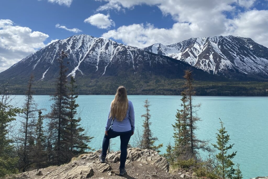
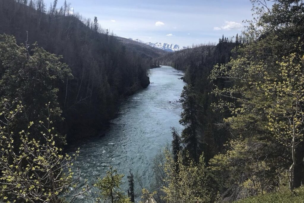
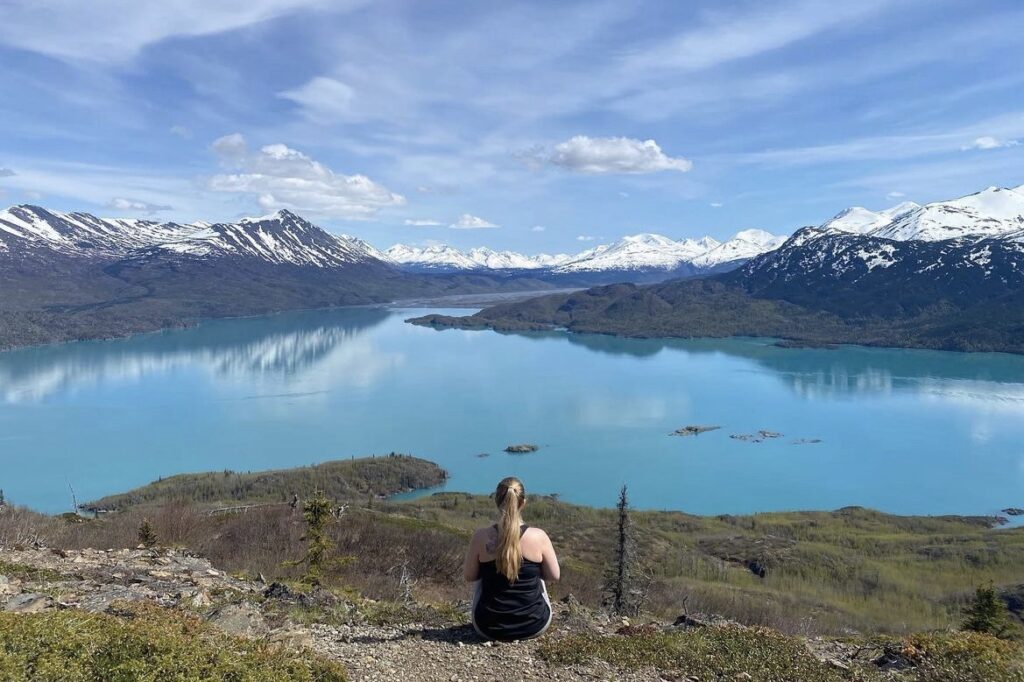
Cooper Landing is the first town you will reach after taking the turn off for Sterling Highway at Tern Lake. From Cooper Landing you can go whitewater rafting down the Kenai River, fish for salmon, camp at one of the lakes, such as Hidden Lake or Skilak Lake, or hike one of the many hiking trails. Two trails that I have done in this area are Skilak Lookout Trail and Slaughter Ridge Trail. If you’re looking for a bite to eat, I recommend stopping at Wildman’s along the highway. They have delicious homemade sandwiches and milkshakes.

Soldotna/Kenai
Soldotna & Kenai
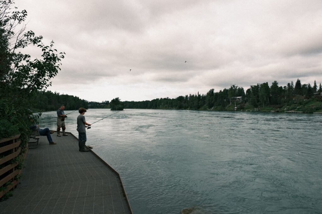
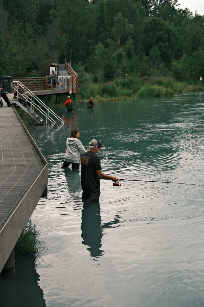
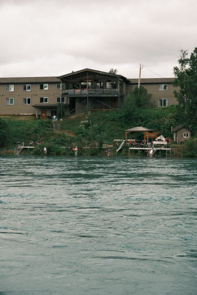
Soldotna and Kenai are a fisherman’s paradise. From the Sterling Highway, you will drive through Soldotna first, but Kenai is only 11 miles to the west. The Kenai River, often referred to as the world’s greatest sportfishing river, winds from the Cook Inlet by Kenai all the way through Soldotna down to Cooper Landing. The Kenai River is also one of the most heavily used freshwater fisheries in Alaska. Fishermen flock to this river in the summer to try to catch precious king salmon as well as other kinds of salmon and trout.
Johnson Lake
Johnson Lake
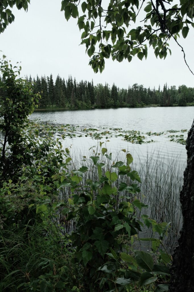
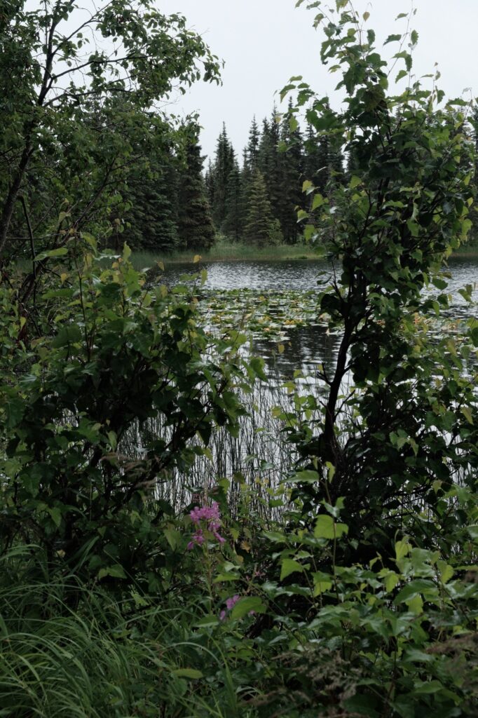
Johnson Lake is about 16 miles south of Soldotna in the small town of Kasilof. It can’t be seen from the Sterling Highway, and it isn’t as well-known as other lakes. I remember taking a field trip to this lake in elementary school where we got to help Fish and Game release fish into its waters. My stepdad would also take my sister and I canoeing around it growing up. While he would fish, my sister and I would reach into the lake from a canoe to try and grab as many lily pads as we could. Further down the road to the east of Johnson Lake lies Tustumena Lake, which is huge and makes Johnson Lake look like a speck in comparison.
ninilchik
Ninilchik
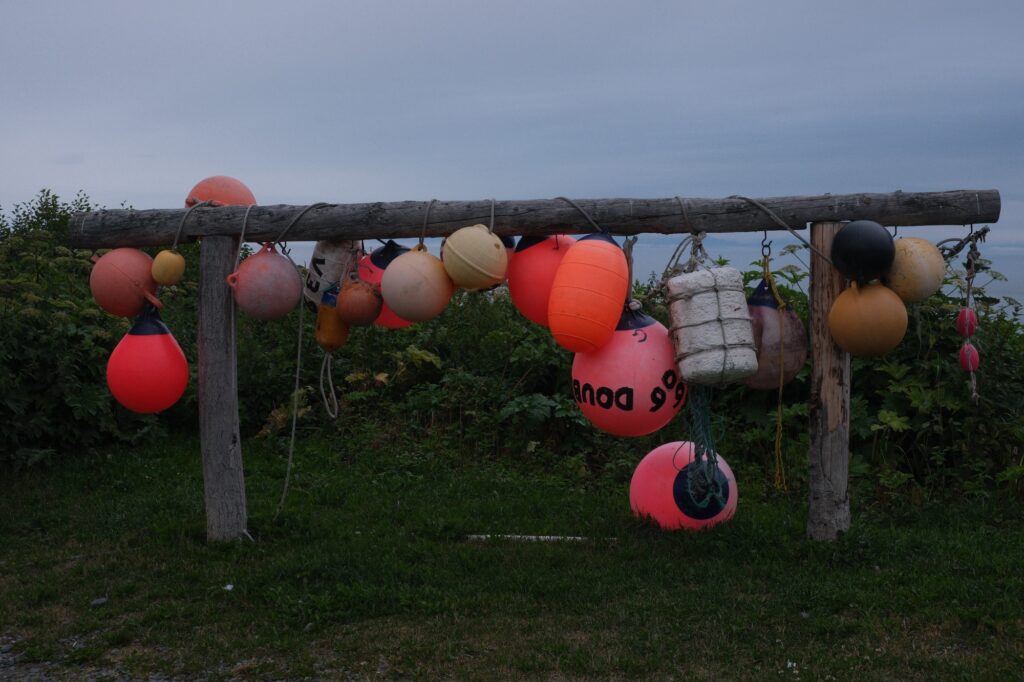
From Johnson Lake you will drive south for about 25 miles, passing through Clam Gulch, until you reach my hometown, Ninilchik. Ninilchik is small, with a population of less than 1,000 people. There is only one school in town that is K-12. My graduating class was a whopping 12 students. Since Ninilchik is far from “city life”, growing up we would entertain ourselves by riding 4-wheelers, going horseback riding, sledding, snowmachining, fishing, clam digging, and riding bikes. Ninilchik is the perfect place to stay for a weekend if you are wanting to camp along the beach and go on one of the local fishing charters or explore the surrounding outdoors. In early August, Ninilchik also hosts one of Alaska’s most popular music festivals, Salmonfest.
Russian Orthodox Church – Transfiguration Of Our Lord Church
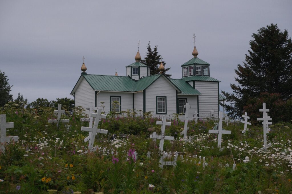
Even though Ninilchik is considered an Alaskan Native village, there is Russian lineage amongst the population as well. Alaska Russian was widely spoken in the area for 200 years. There are populations of strong Russian decent that have settled south of Ninilchik in towns such as Voznesenka, Nikolaevsk, and Razdolna. In Ninilchik, The Russian Orthodox Church has been standing since 1901. There is a small graveyard surrounding the church with views of Ninilchik Beach near the church’s entrance.
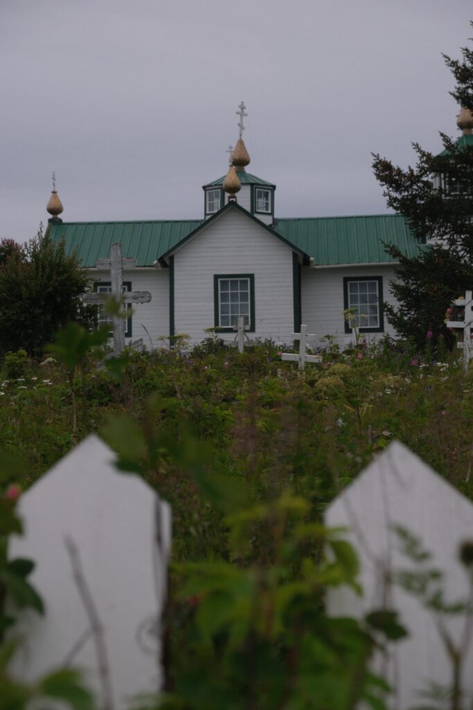
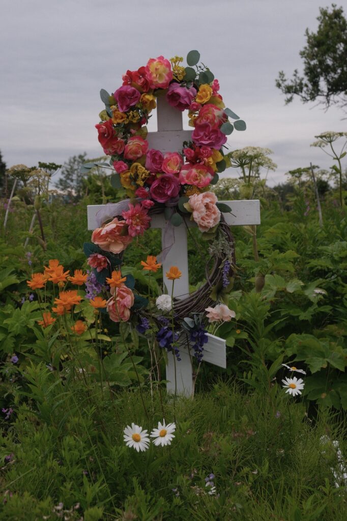
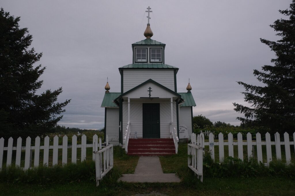
Ninilchik Beach
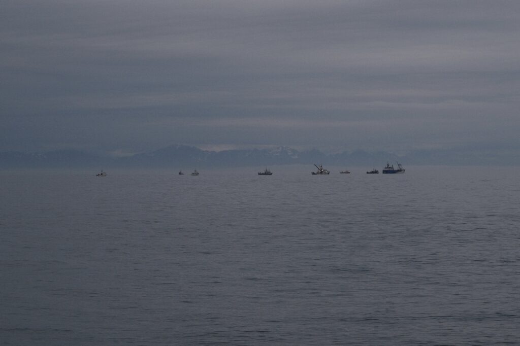
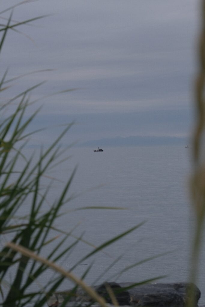
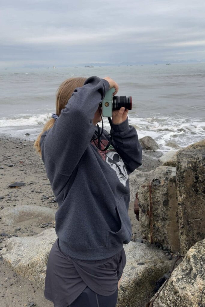
Ninilchik Beach and Deep Creek Beach (I’ll talk more about Deep Creek below) are two of the best places for razor clam digging in Alaska. Both beaches offer beautiful views of active volcanos, Mount Iliamna and Mount Redoubt, across the Cook Inlet. During the summer fishing season, the public boat harbor at the mouth of the Ninilchik River on Ninilchik Beach becomes one of the busiest places in town. Down the road from the harbor you may notice a staircase going up the hill next to the beach. This staircase leads to one of the campgrounds, Ninilchik View Campground.
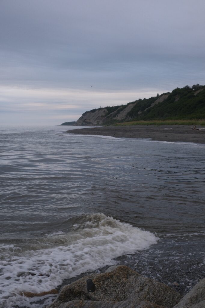
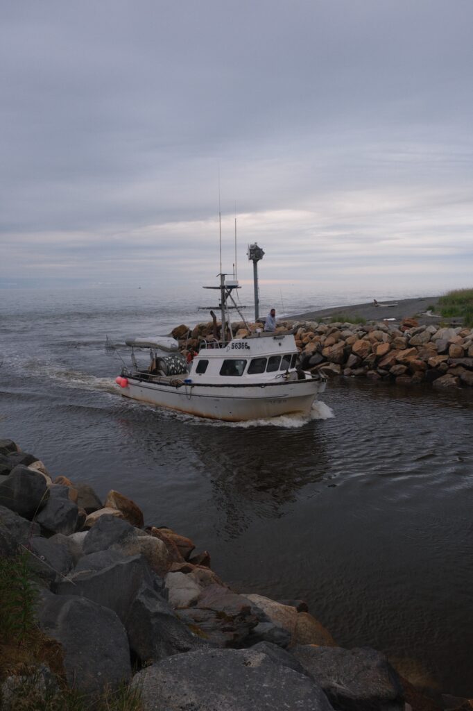
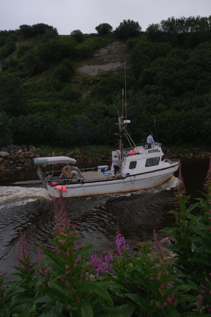
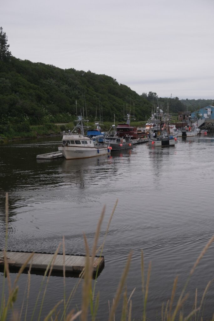
Deep Creek
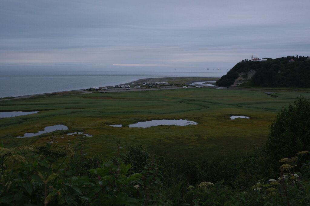
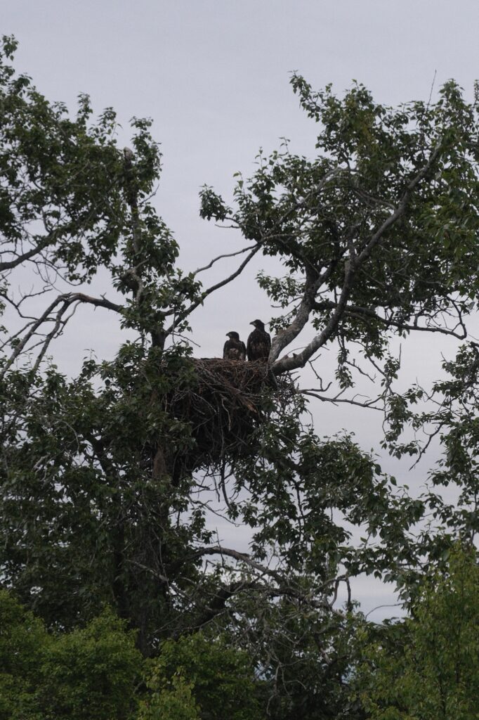
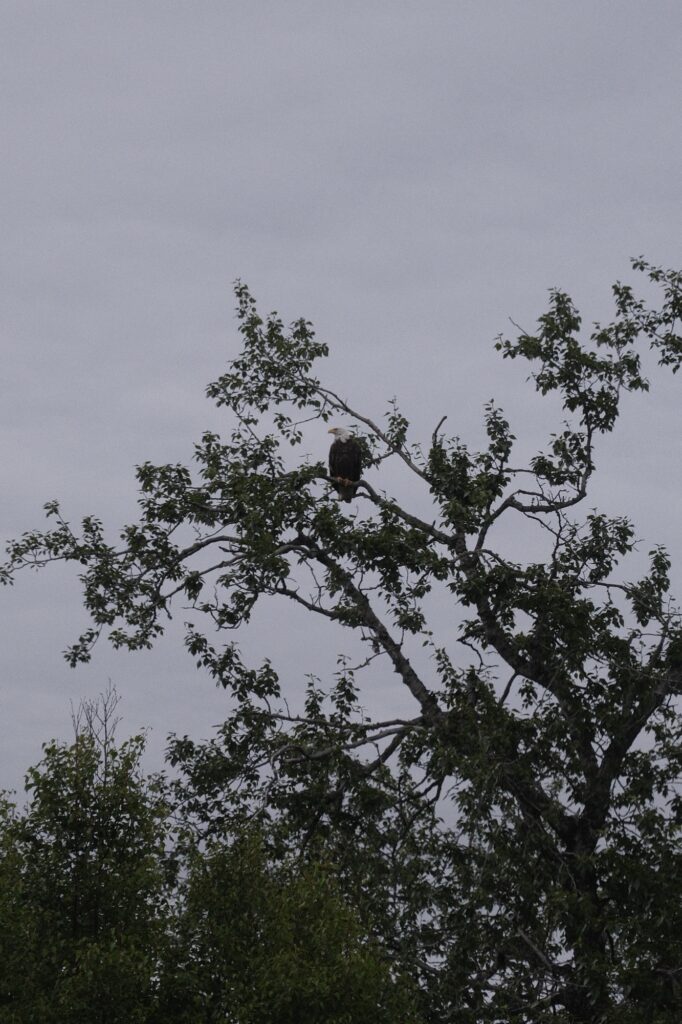
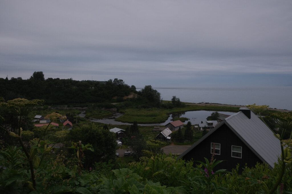
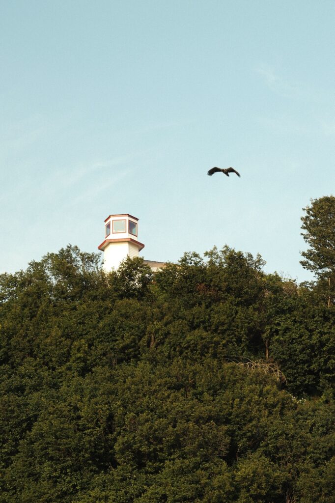
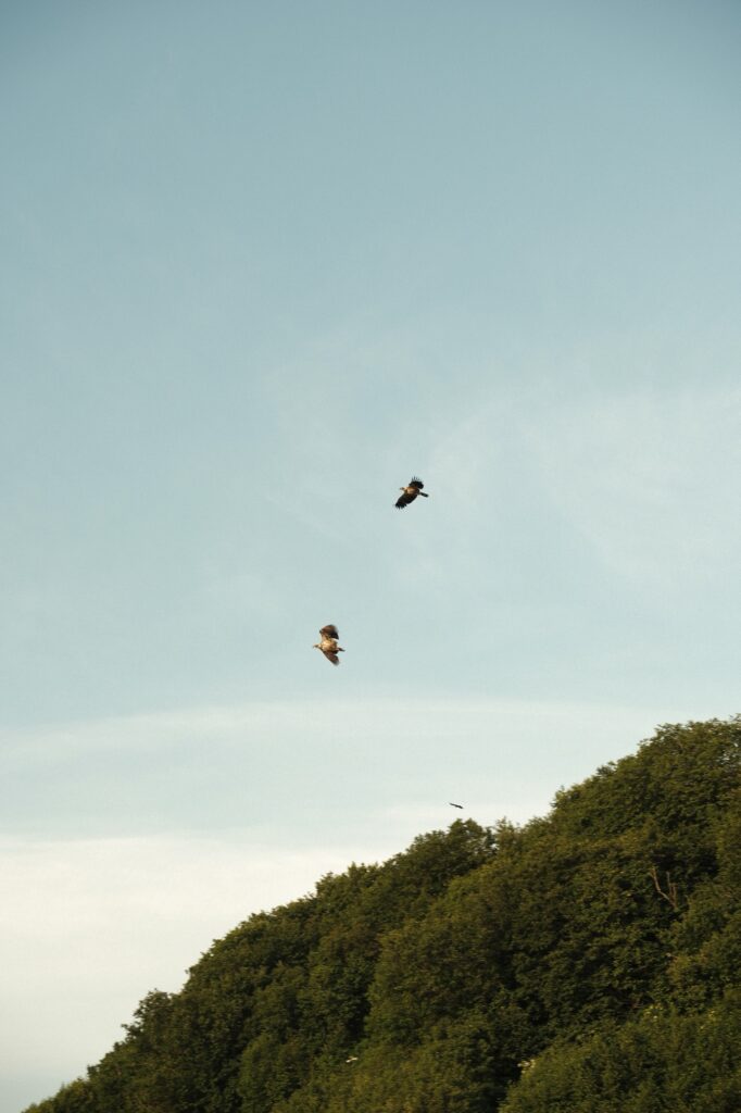
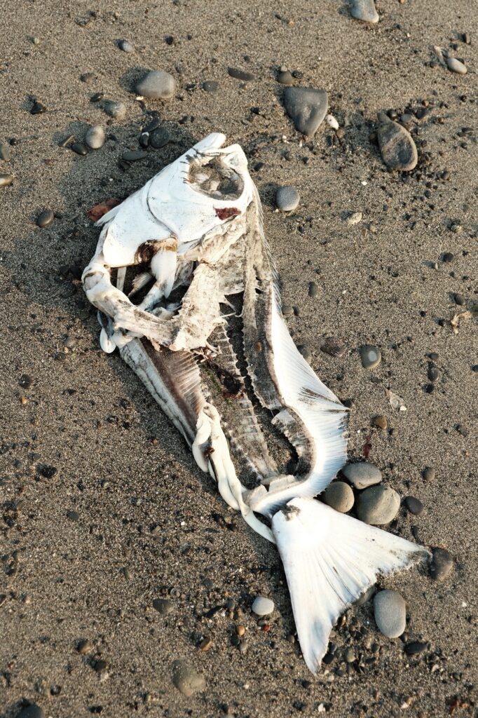
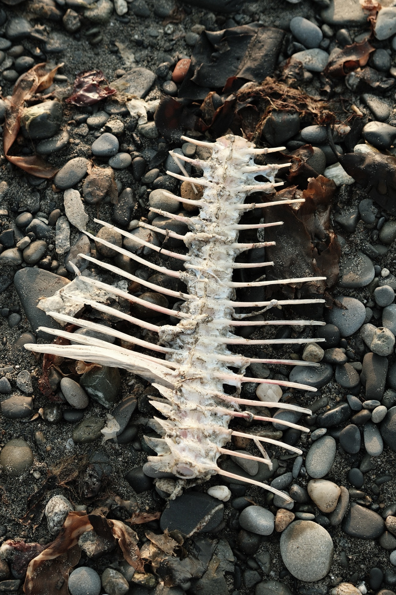
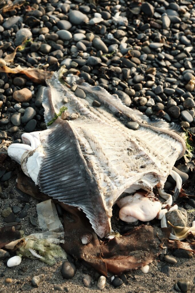
I used to have views of Deep Creek Beach growing up, which gave me the privilege of watching the sun rise over the Cook Inlet while getting ready for school. Since we lived less than five minutes from Deep Creek, we’d take our 4-wheeler down and drive it around Deep Creek Campground and south along the beach to Happy Valley Falls. This beach becomes another busy area in the summer, with most local fishing charters launching into the Cook Inlet from the Deep Creek Boat Launch. My stepdad and grandfather both launched out of Deep Creek when they had their own fishing charters. I was able to make a small salary cleaning my stepdad’s boat and vacuum packing his and my grandfather’s fish after they filleted it for their customers. Some charters will fillet their halibut on the beach, causing halibut carcasses to wash up. While the smell of dead fish is pungent, it attracts Alaska’s famous Bald Eagle. Ninilchik’s rivers and beaches have no lack of this majestic bird. The smell of dead fish is something I became accustomed to after being around my family’s fishing boats and the beach every summer.
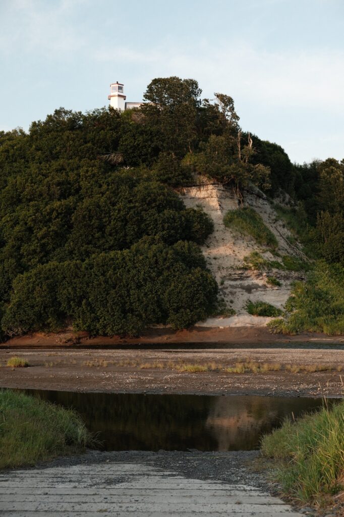
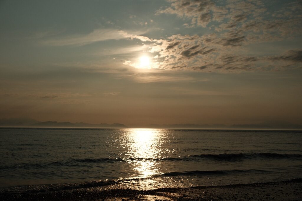
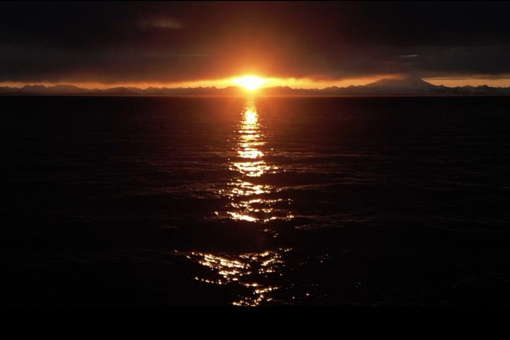
While I was able to view the sunrise before school, the sunset on the Cook Inlet is just as magical. Here are a few of my favorite sunset pictures along the inlet. The fourth picture was taken in Kenai, but the rest were taken from Ninilchik.
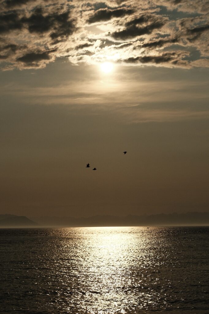
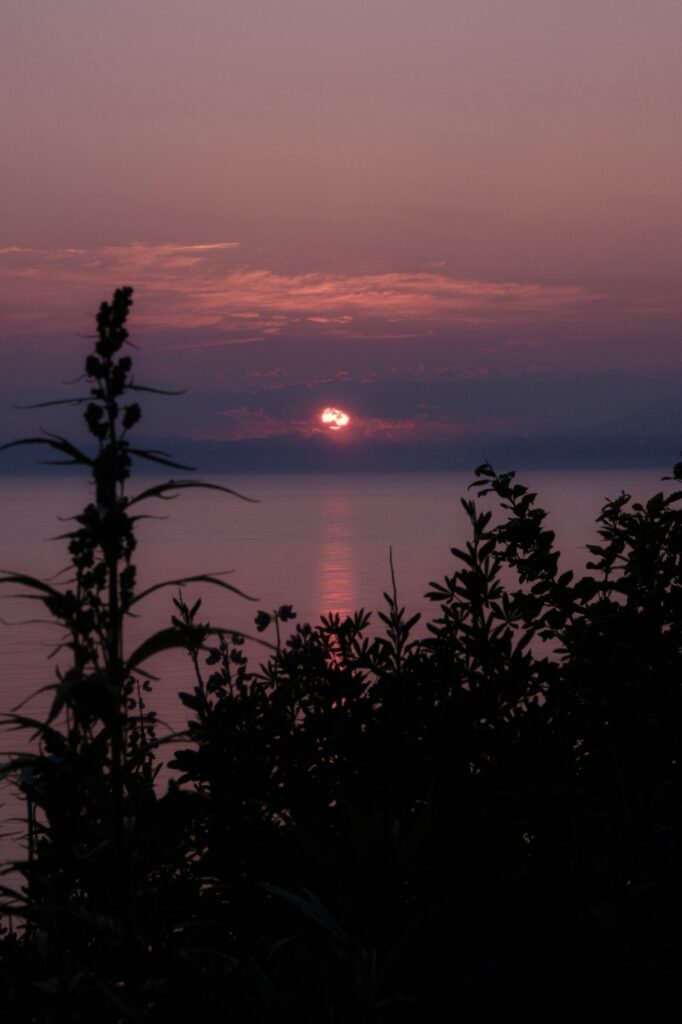
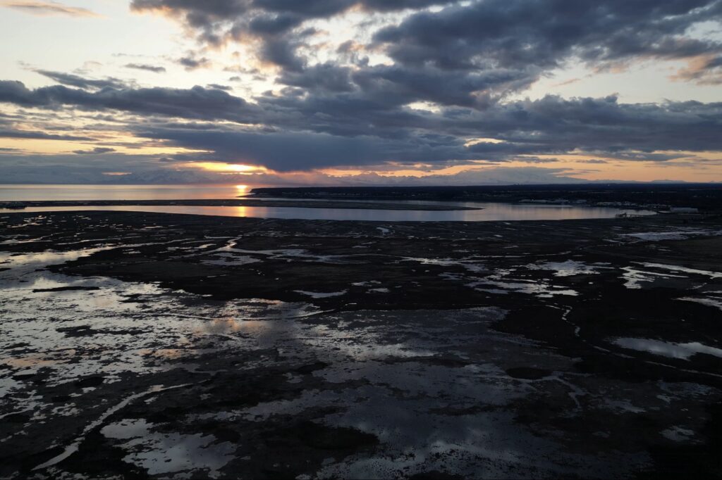
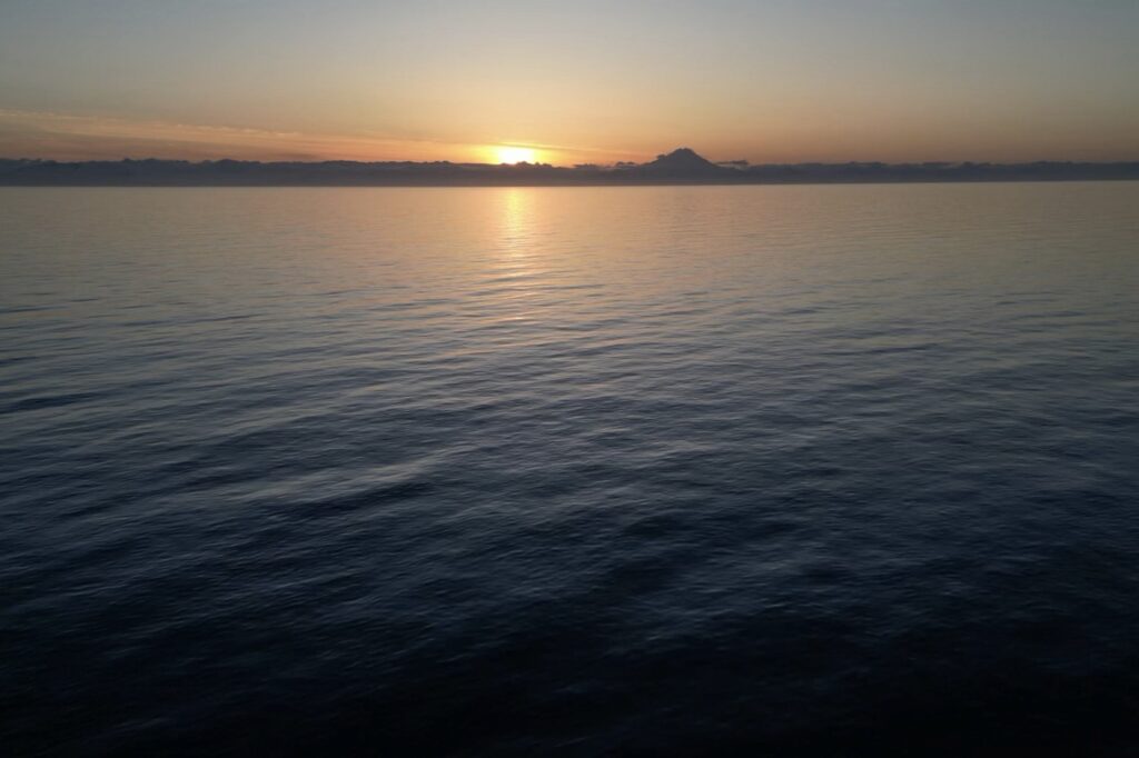
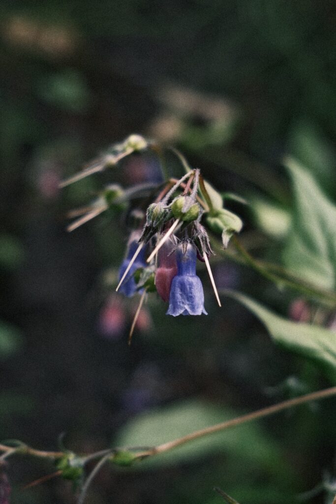
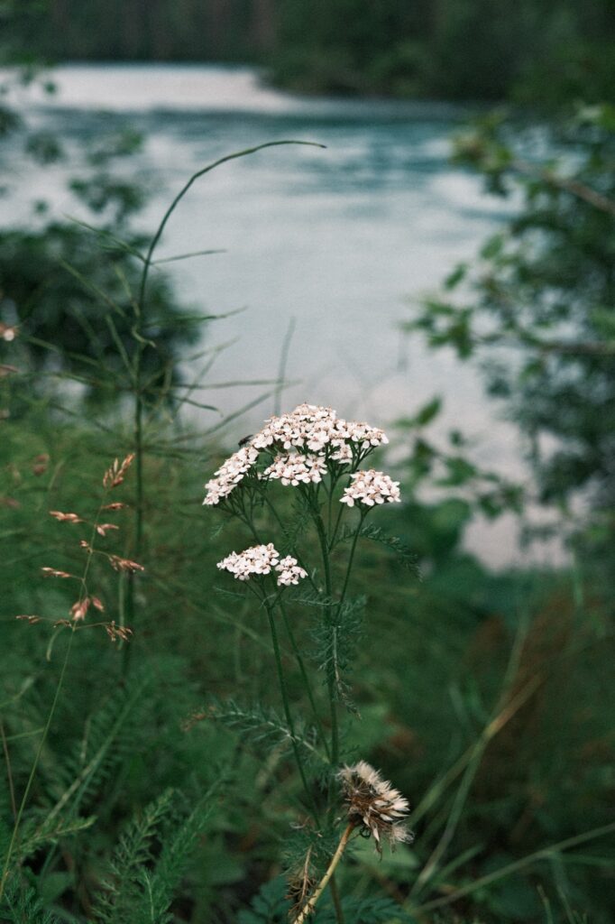
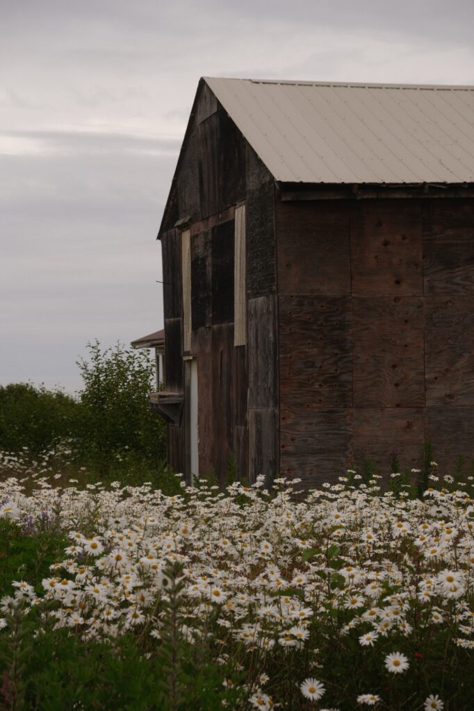
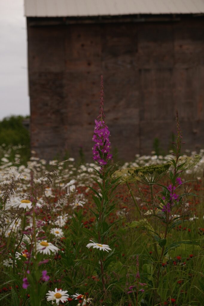
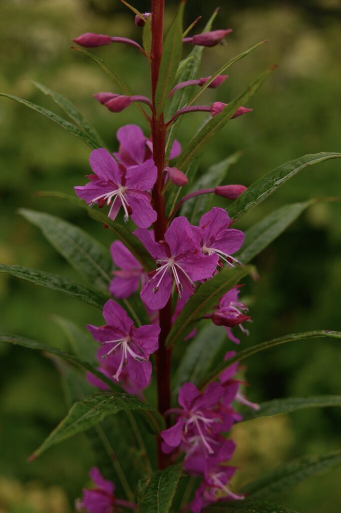
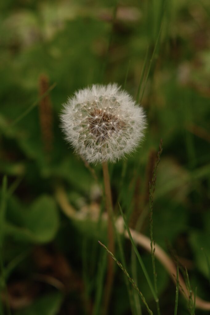
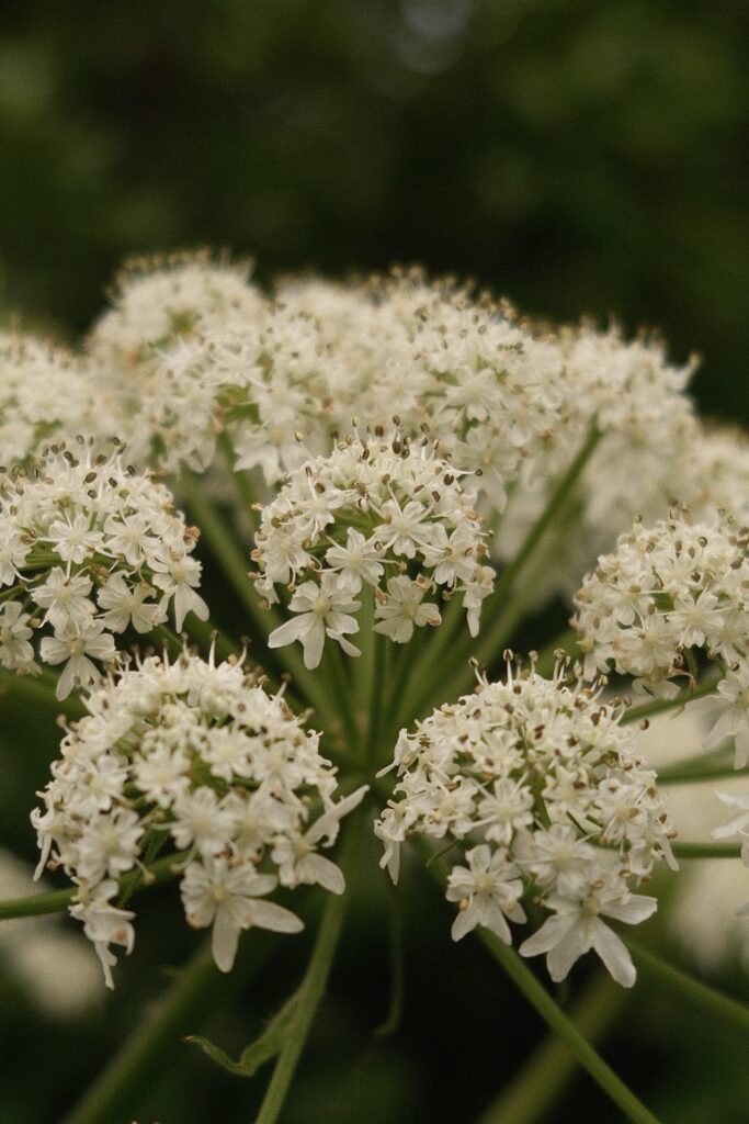
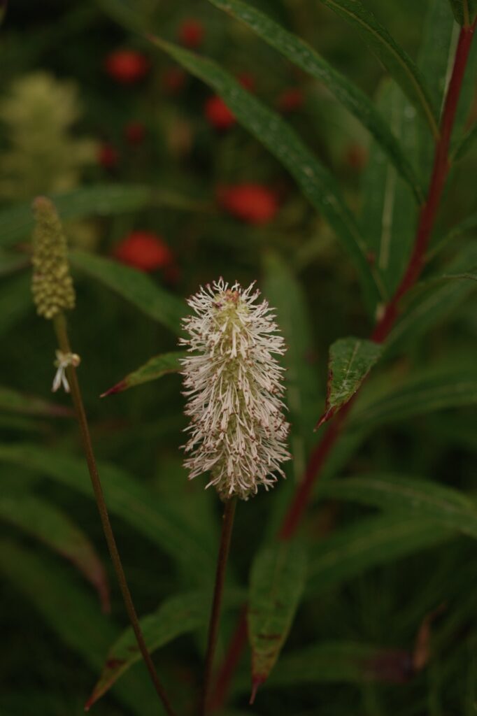
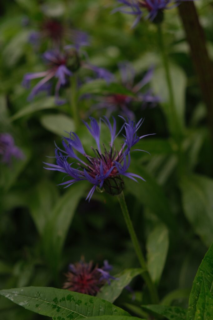
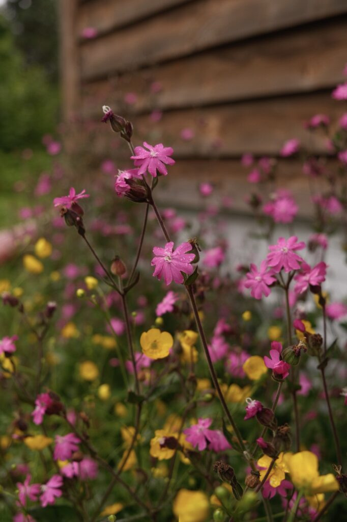
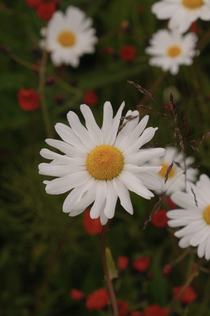
Oceans, rivers, beaches, fish, and eagles, what else could Ninilchik possibly have? A wide variety of wildflowers. Fireweed is the most prevalent wildflower that you will see from the highway, but there are also many others speckled around rivers, campgrounds, marshes, and houses in Ninilchik. All of the pictures below were captured around my brother’s house in July.
Homer
Homer
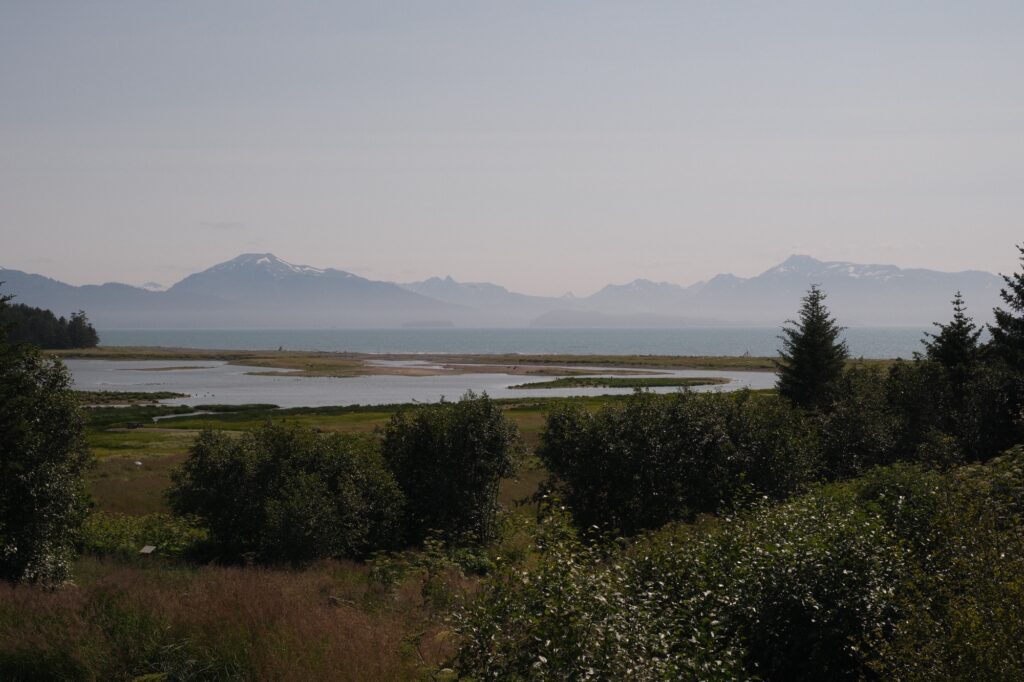
Homer is about 37 miles south of Ninilchik and is another one of my favorite towns in Alaska. On the way there, you will pass through Happy Valley and Anchor Point with peeks at the Cook Inlet every now and then. Upon reaching Homer, you will drive up a small hill and be greeted by 180 views of Kachemak Bay. From Homer you can either take a boat tour, water taxi, ferry, or small plane to surrounding towns, glaciers, beaches, islands, and Kachemak Bay State Park. There are SO many tours choose from, so make sure you do a google search to find one that caters to you if you are interesting in exploring the bay beyond Homer. Two of my favorite places to visit are Seldovia and the Center for Alaskan Coastal Studies in Peterson Bay. Another area worth checking out is the picturesque Halibut Cove. Be sure to stop at the Maritime National Wildlife Refuge Visitor Center to learn more about the area.
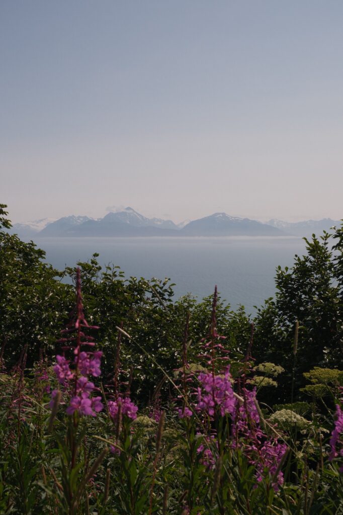
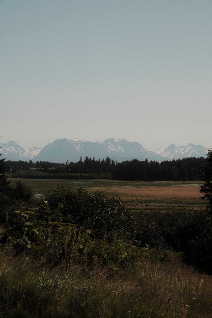
The Spit
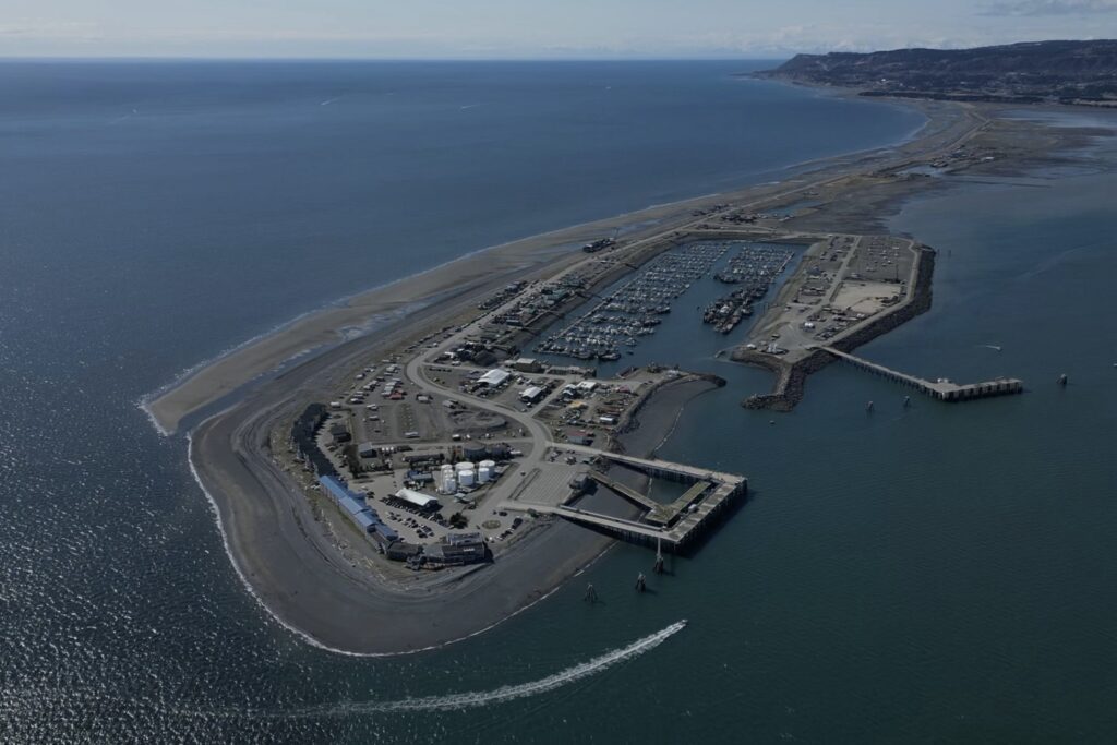
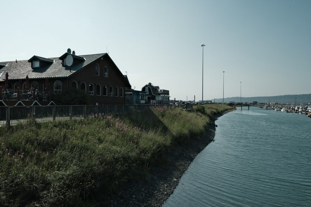
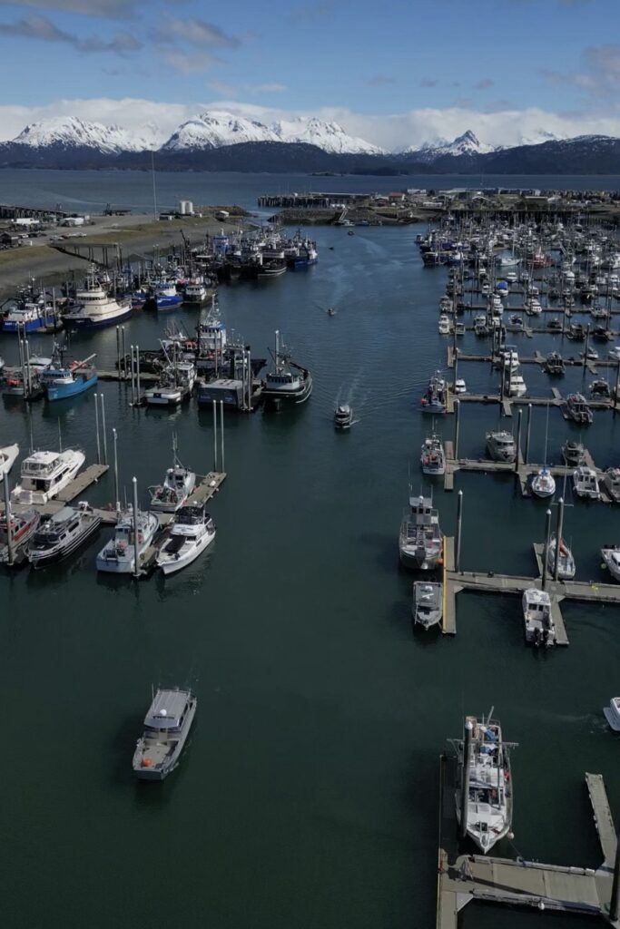
The Spit is without a doubt the main attraction in Homer. As soon as you climb the hill into Homer that I was talking about, you will see The Spit in the distance in front of you. It juts out into Kachemak Bay for 4.5 miles and is full of shops, restaurants, beaches, mountain views, and even an ice rink. One of the more important things that is on The Spit is the Homer Harbor.
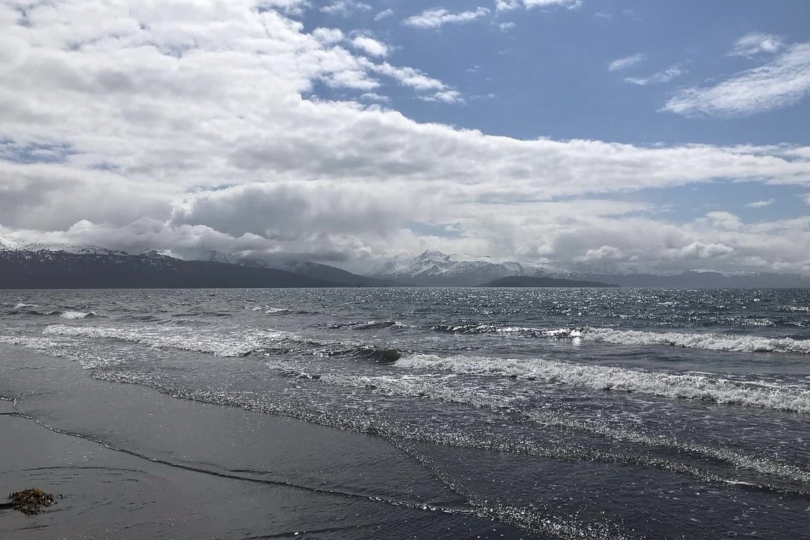
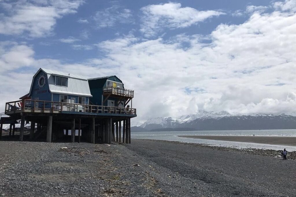
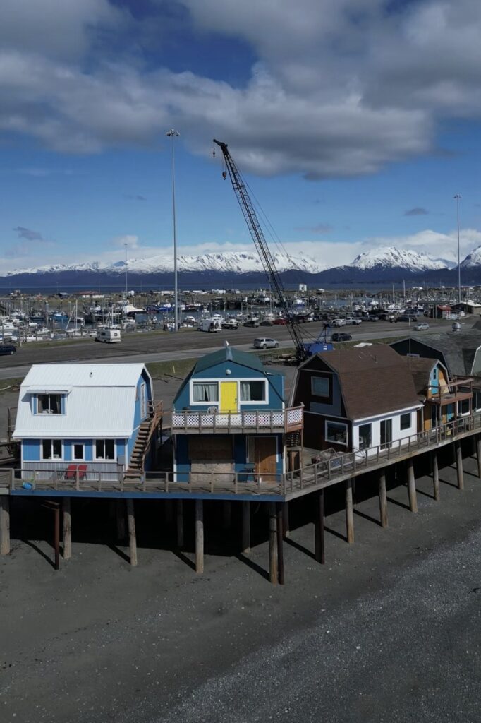
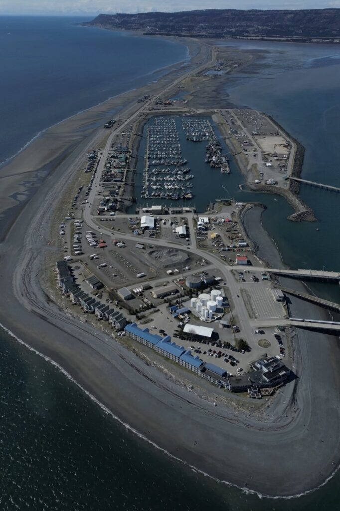
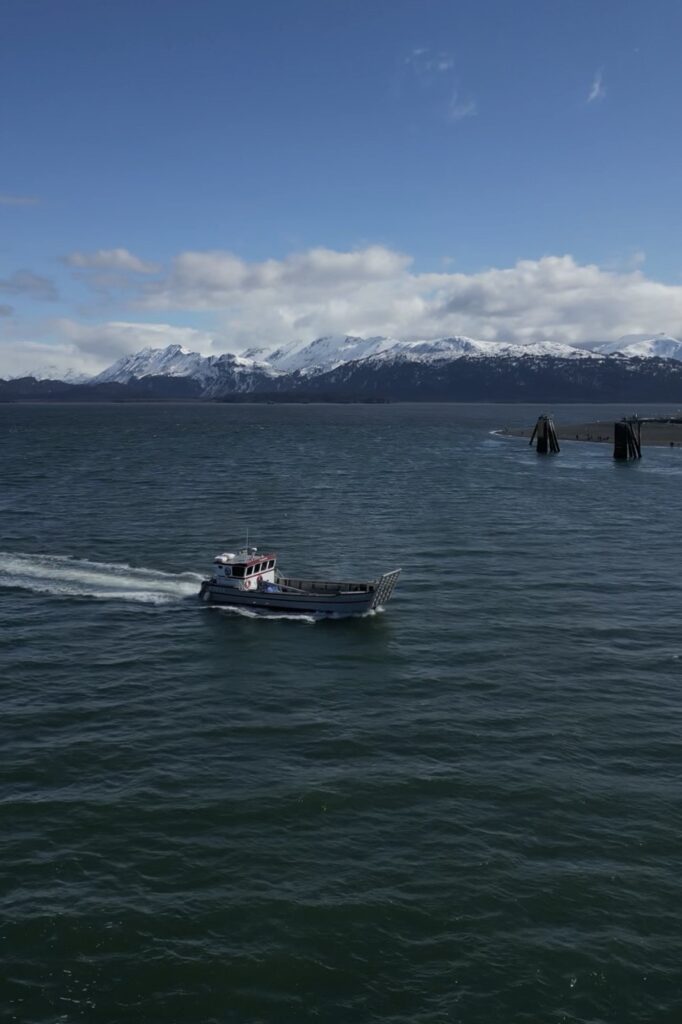
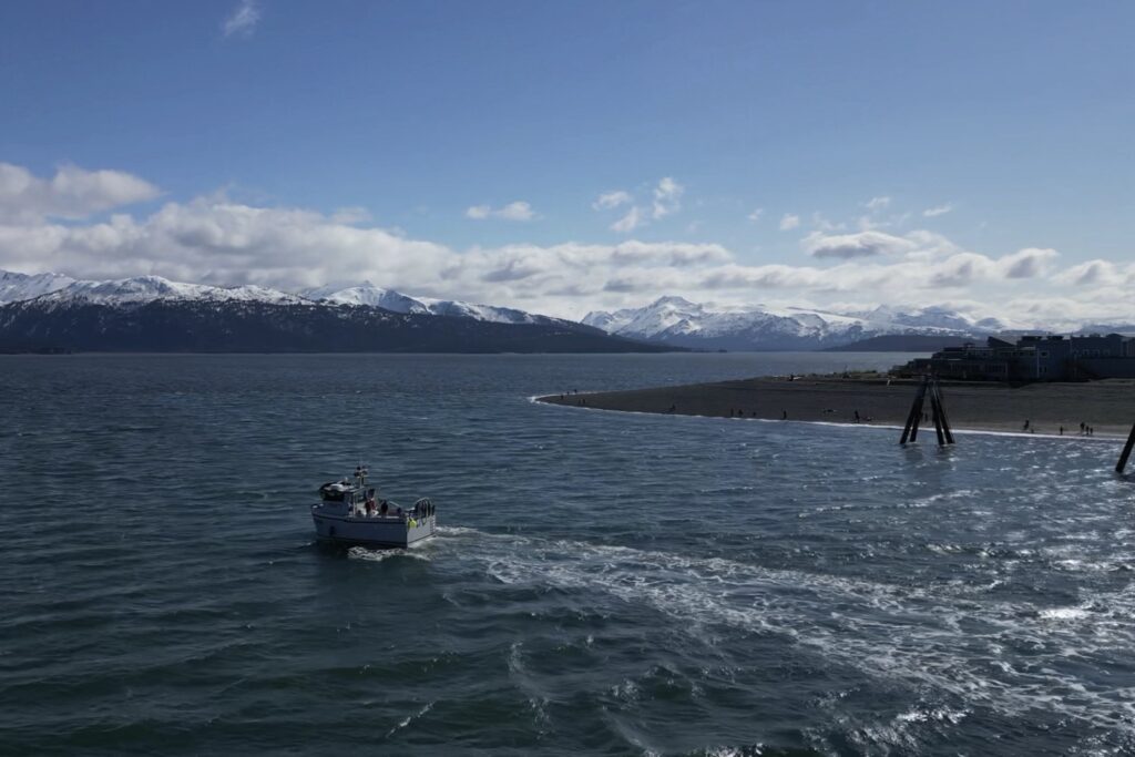
Homer Harbor
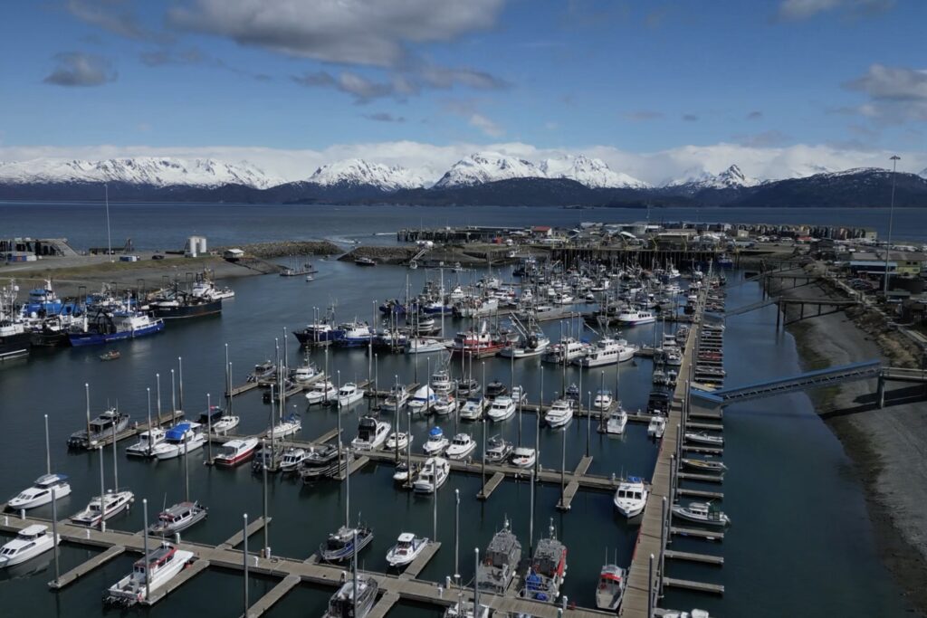
Water taxis, fishing charter boats, tours of all kinds, and the Kachemak Bay Ferry are housed at the Homer Harbor on The Spit. The harbor is a hub of commotion in the summer as tourists flock to their tours and fishing charters. There are tons of shops and restaurants near the harbor. Just be aware that restaurants are a little pricey because they cater towards tourists. You can find cheaper places to eat off The Spit.
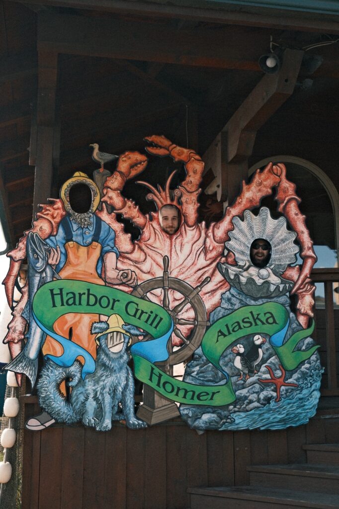
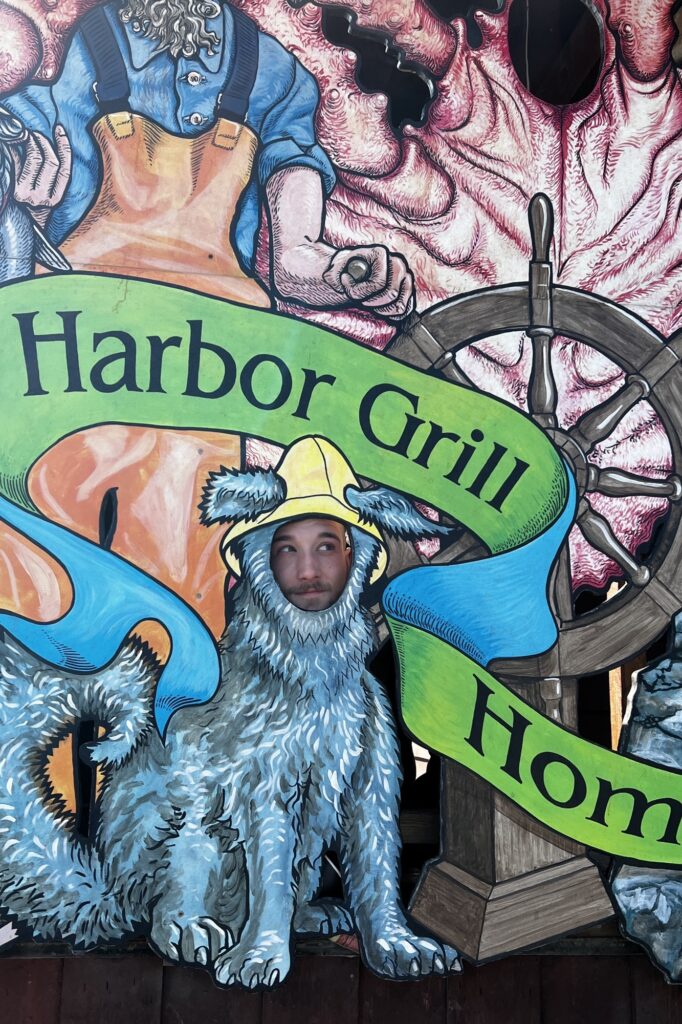
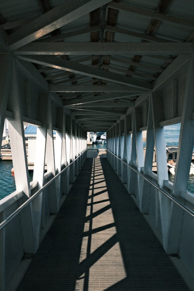
One of the best things to do at the harbor is walk down the ramp and explore. The Homer Harbor is HUGE and you can easily kill a couple of hours walking along each row looking at all of the different kinds of boats.
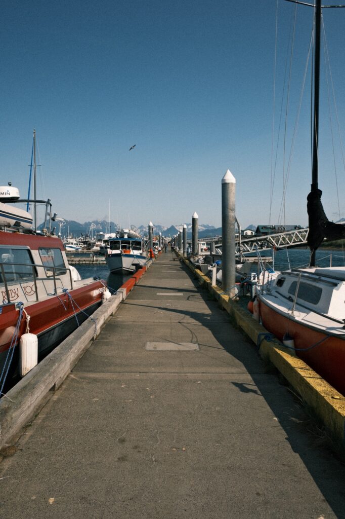
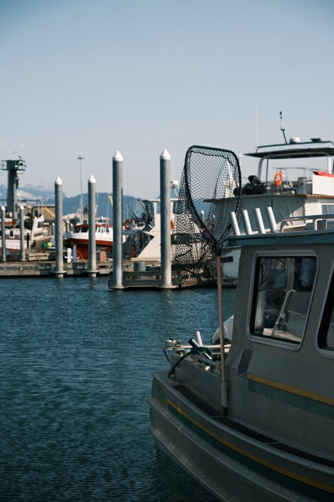
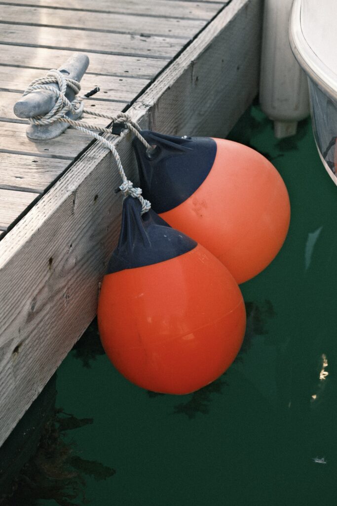
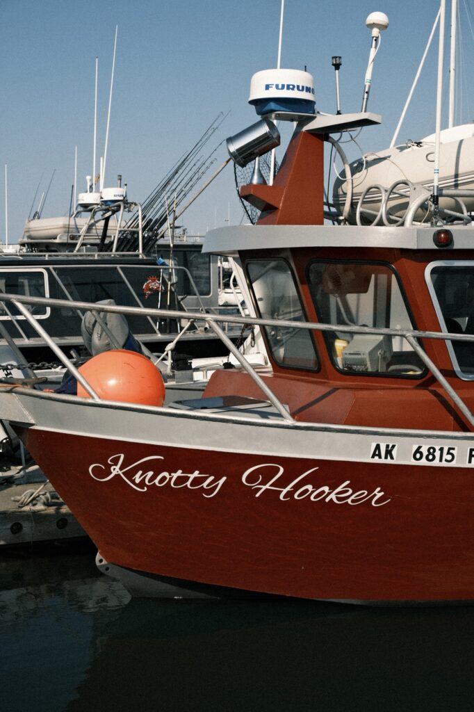
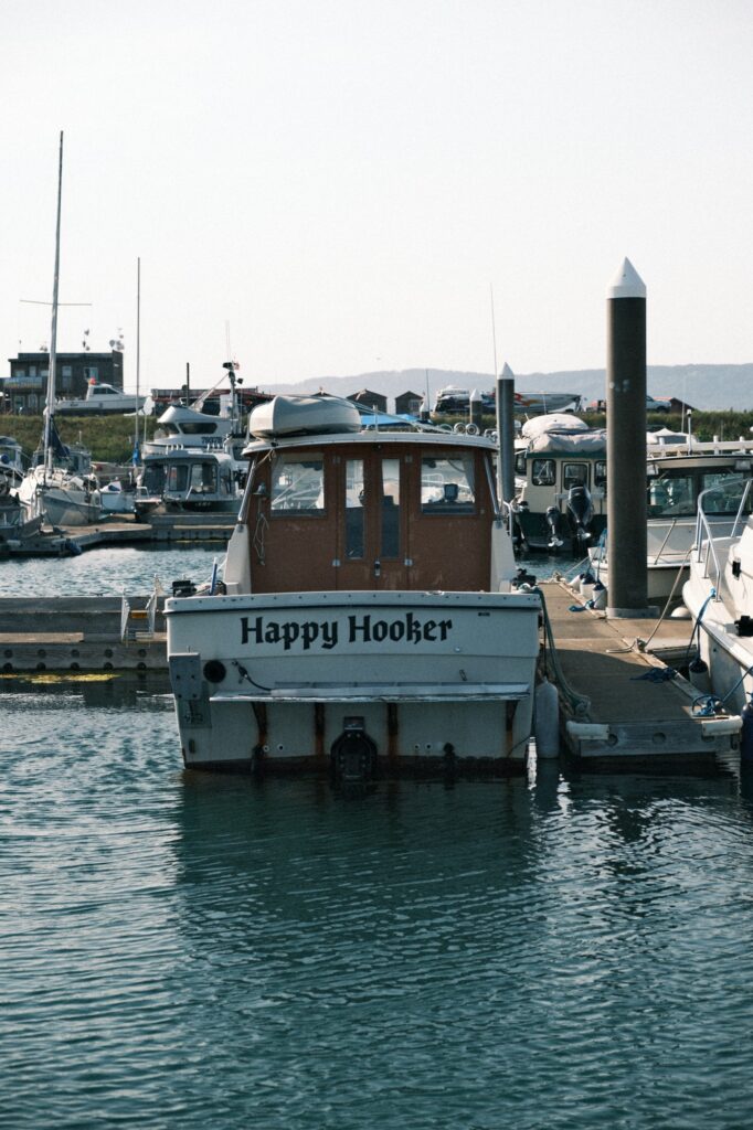
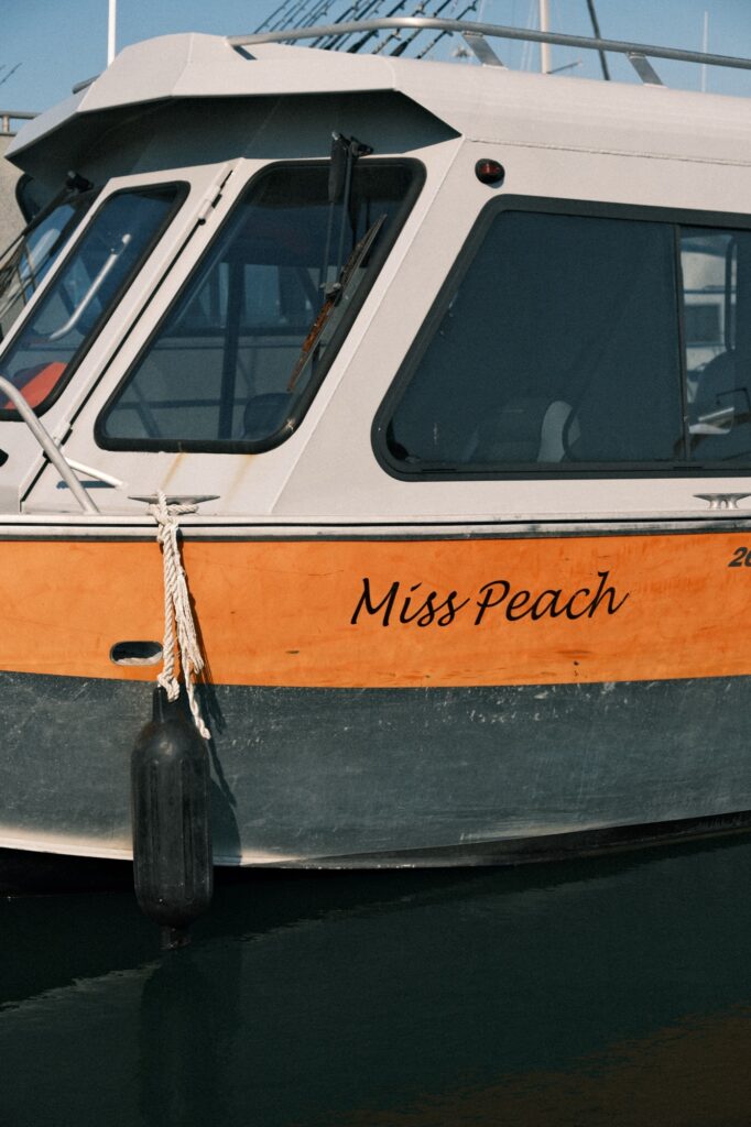
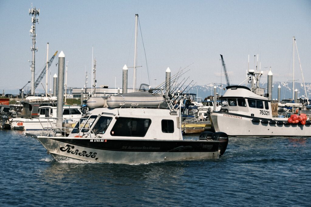
As you walk around you will notice that each boat has its own name. It’s common for fishermen to name their boat after their wife, but some boats will have a more creative name.
One of my favorite things about walking around the harbor is spotting wildlife. The harbor is full of sea otters, seals, starfish, jellyfish, sea anemone, and much more. My stepdad used to canoe us around the harbor near the shore so that we could look for sea life on the ocean floor.
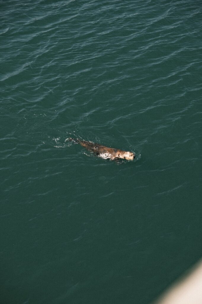
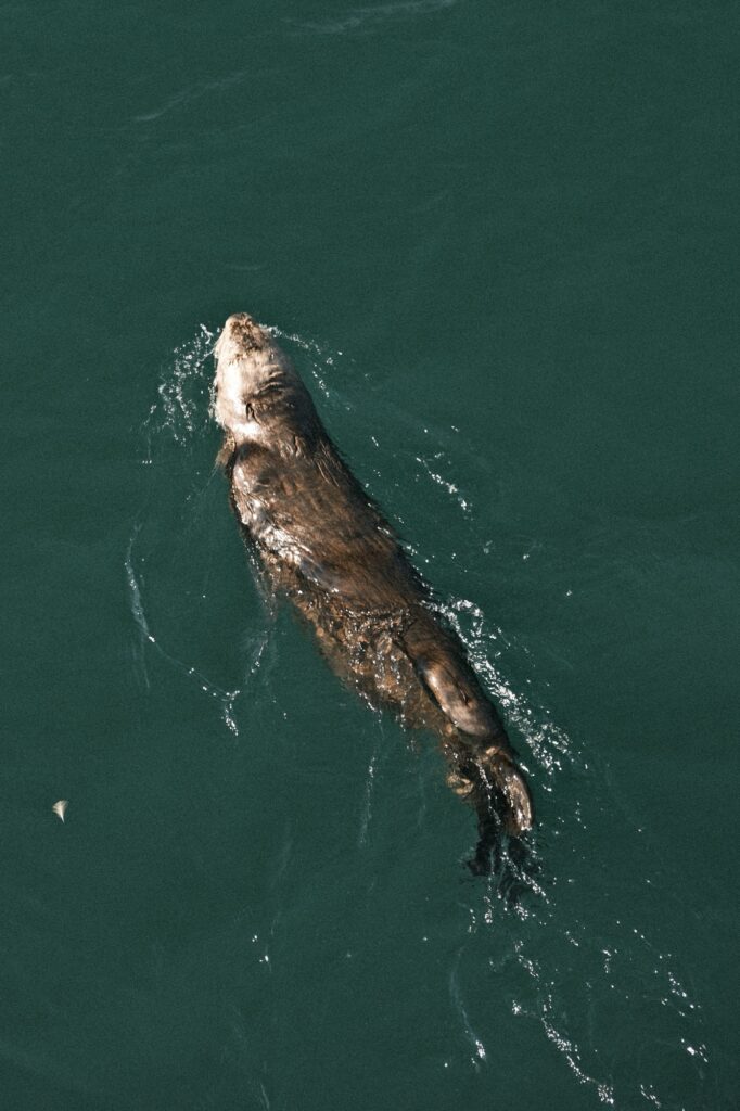
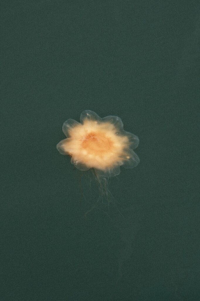
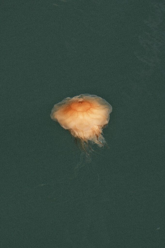
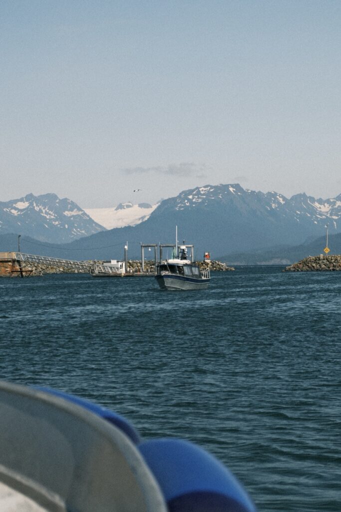
Another fun thing to do at the harbor is watch boats come and go. If you want to get closer to boats floating in and out of the harbor, go to the end of Freight Dock Road past the boat launch. The end of this road offers you the perfect vantage point of the harbors mouth. My sister and I used to crawl around on the rocks here and look for tiny sea snails.
Land’s End
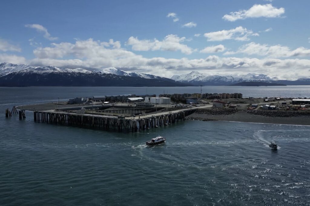
Past the Homer Harbor at the very end of The Spit is Land’s End, a resort and restaurant located right next to the ferry. I have never stayed at the resort, but the restaurant is higher end. My family brought us here several times growing up to have a “fancy” meal every now and then. The end of The Spit wraps around the outside of the resort where you can fish, watch boats float by, and have unobstructed views of the surrounding mountains.
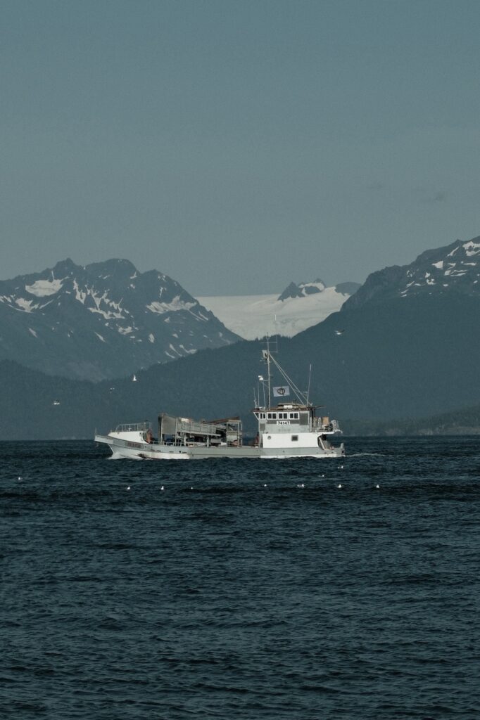
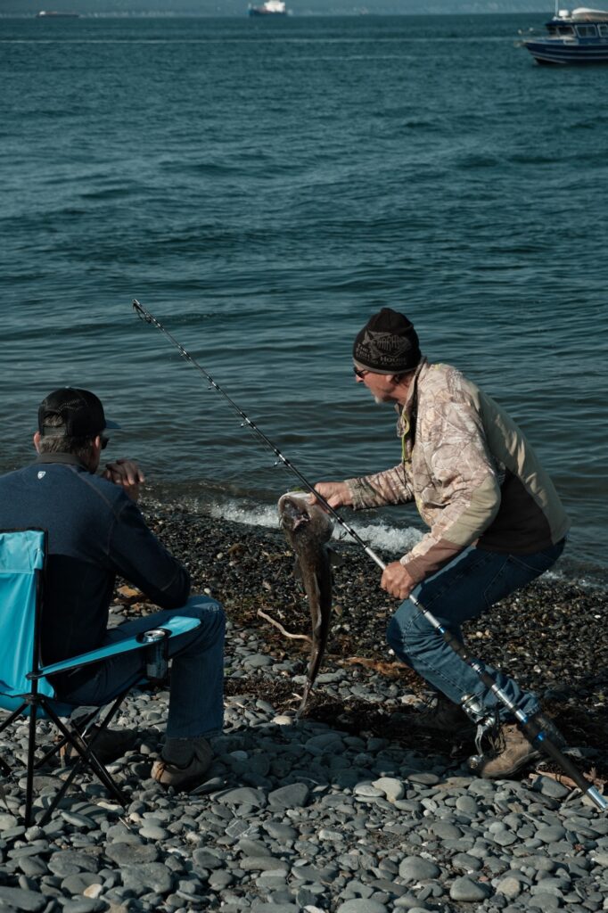
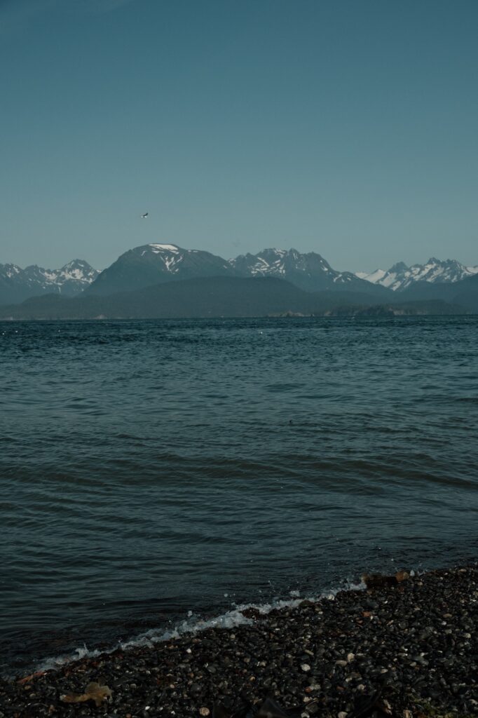
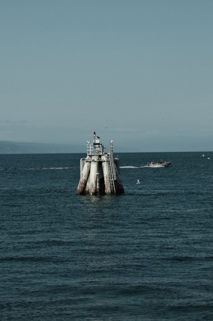
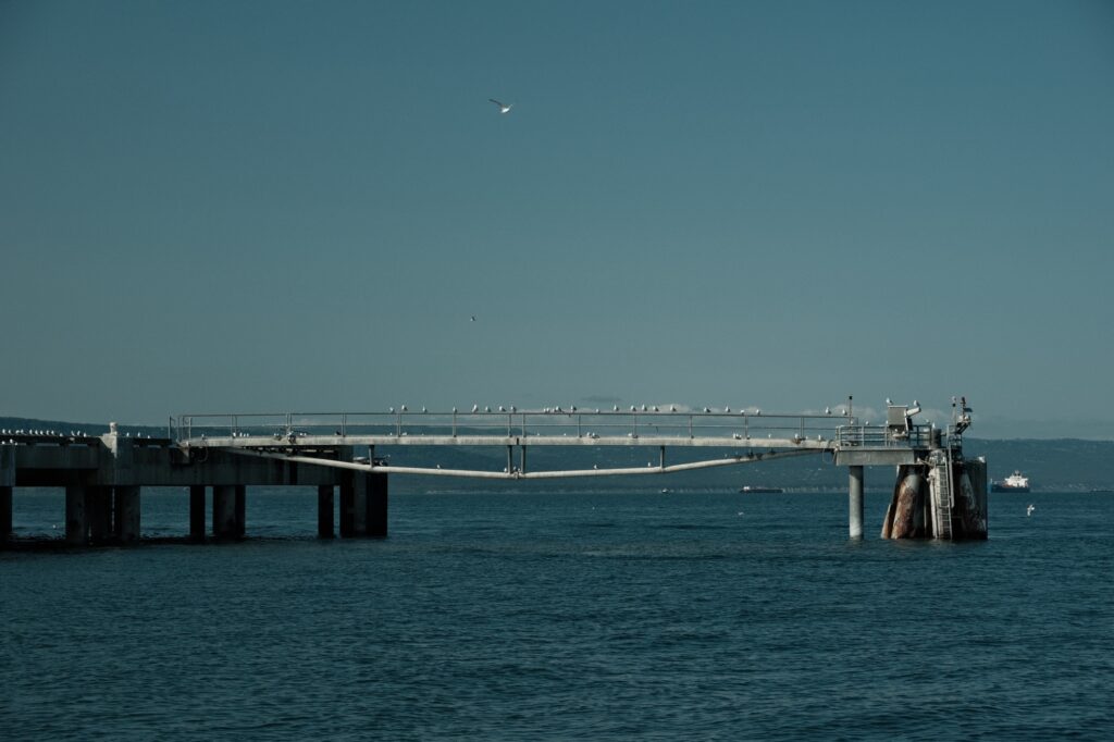
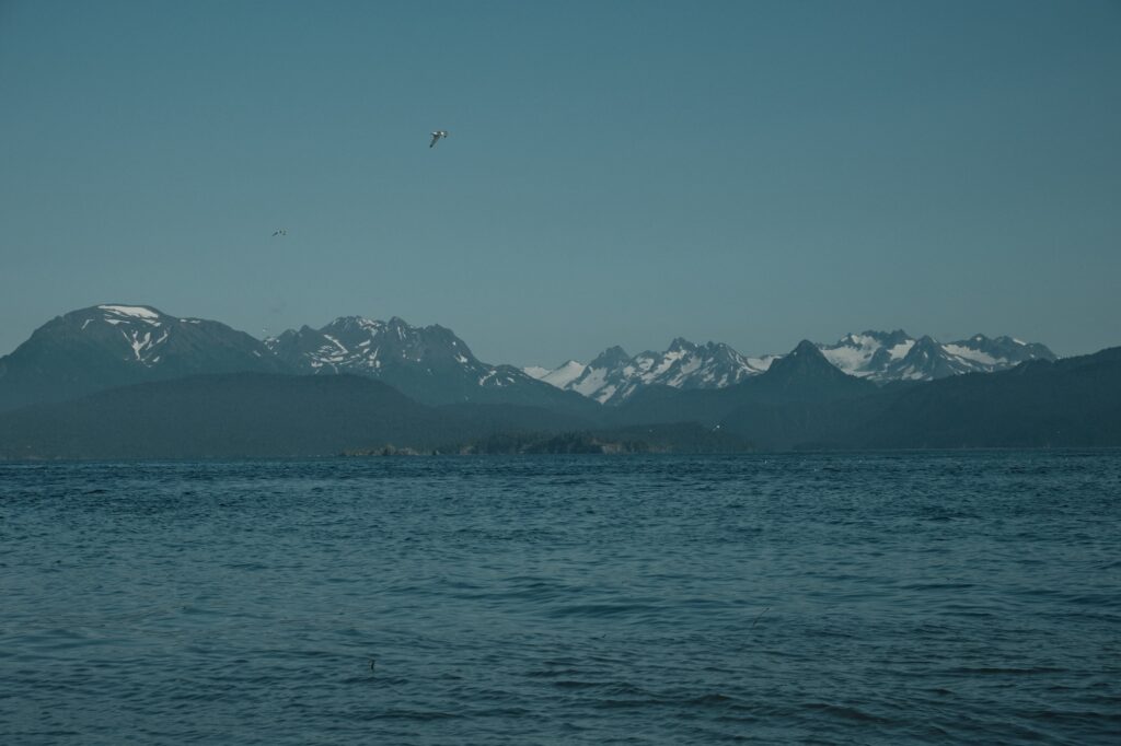
So, there you have it, an overview of Southcentral Alaska from one of its very own previous residents. Hopefully this guide gave you a good starting point for planning your own trip to Southcentral Alaska. It is definitely one of the more beautiful parts of Alaska and is worth being added to your bucket list. I have only scratched the surface of its many hidden gems in this post. You will have to explore Southcentral Alaska to find gems of your own!
Note for the reader: I share these locations so that others can see beautiful places and enjoy nature as much as I do. Please be respectful of the outdoors and what condition it is in when you visit. Don’t go off trail, leave no trace, and pack out what you came in with.
