The Best Stops Along the Oregon Coast
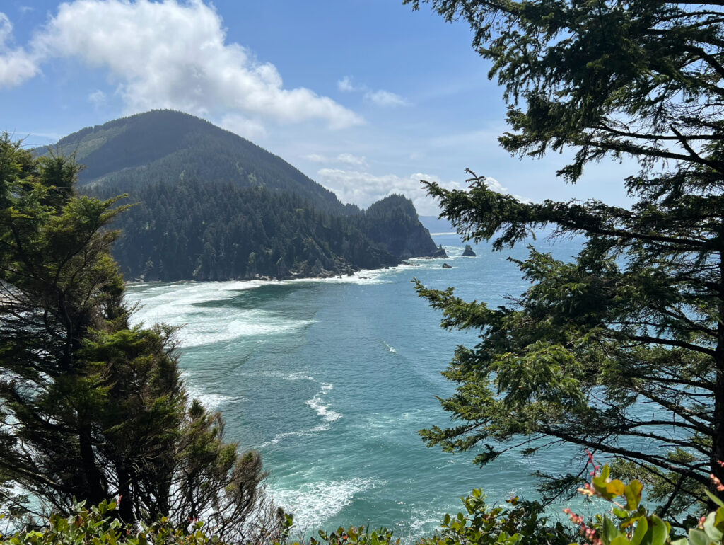
The Oregon Coast will always hold a special place in my heart because it is the first place that I drove to and explored solo. I also grew up next to the ocean, so being near it felt like I was home. This trip spurred my love for photography and traveling whenever I can, even if I have to go alone. There is something so freeing and powerful about traveling solo. You can do things on your own terms and don’t have to compromise with anyone else. To this day, I still solo travel a majority of the time. I have a post about how to stay safe as a solo traveler here if you would like to start traveling alone too.
I spent about six days traveling along the Oregon Coast (including travel time to and from where I live) on Highway 101. I traveled along the coast in mid-May and got super lucky with weather and tides. It was sunny a majority of the time and there happened to be negative tides my entire trip. I spent hours researching some of the best places to stop along the coast so that I could map out my trip and which towns to sleep in. The last thing that I wanted was to be in the middle of an unfamiliar state and not know where I was sleeping for the night. Since this was my first solo road trip, I did not camp because I didn’t feel comfortable doing so alone. I packed a cooler full of food for my breakfasts and lunches, so I was only spending money on dinner, hotels, a couple of day passes, a souvenir, and gas. These are the stops that I made from north to south as well as where I slept each night:
Day 1
- Drove down to northern Oregon
- Fort Stevens State Park
- Slept at The Seashore Inn on the Beach in Seaside
Day 2 (I wanted to do Ecola State Park this day, but they were closed when I went)
- Cannon Beach
- Hug Point
- Neahkahnie Viewpoint
- Cape Falcon in Oswald West State Park
- Tillamook Creamery
- Cape Meares
- Slept at Netarts Surf Inn in Netarts
Day 3
- Short Beach
- Cape Lookout State Park
- Cape Kiwanda
- Drift Creek Falls
- Slept at Trollers Lodge in Depoe Bay
Day 4
- Devils Punchbowl Arch
- Yaquina Head Lighthouse
- Cape Perpetua
- Sea Lion Caves
- Slept at this Airbnb near Coos Bay (I splurged a little on this one)
Day 5
- Cape Arago Highway
- Oregon Islands National Wildlife Refuge & Face Rock State Scenic Viewpoint
- Slept at SureStay Plus by Best Western in Gold Beach
Day 6
- Samuel H. Boardman State Scenic Corridor
- Drove home
Fort-stevens
Fort Stevens State Park
Fort Stevens State Park was a Civil War-era military fort established in 1863. The original earthen fort was built to keep British and Confederate gunboats from entering the mouth of the Columbia River. In 1975, the site was officially designated as a state park. Two points of interest in the park are Battery Russell and the Wreck of the Peter Iredale.
Battery Russel
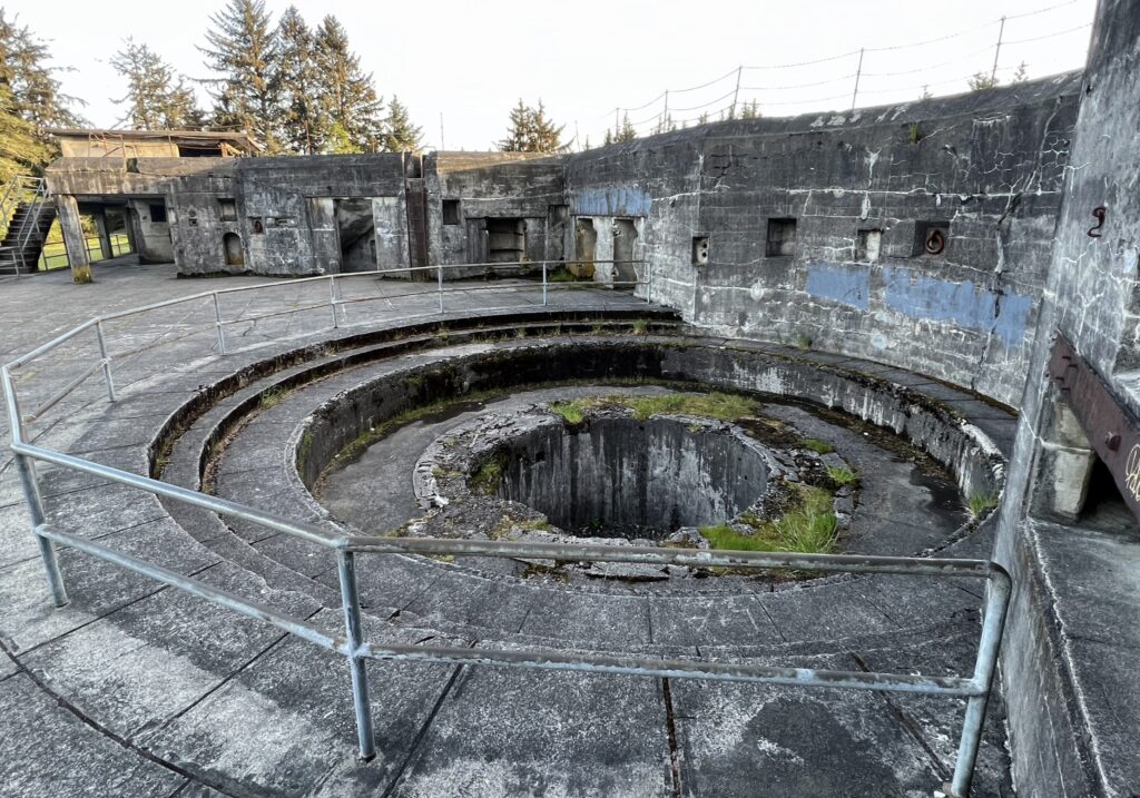
Battery Russell was finished in 1904 and remained operational until the end of 1944. It was built south of the other batteries, facing the ocean, to expand the fort’s network of artillery. Each of Battery Russel’s two 10 inch rifles were manned by a team of 35 men. A well-trained gun crew could fire a 617 pound shell up to 8 miles away, once per minute.
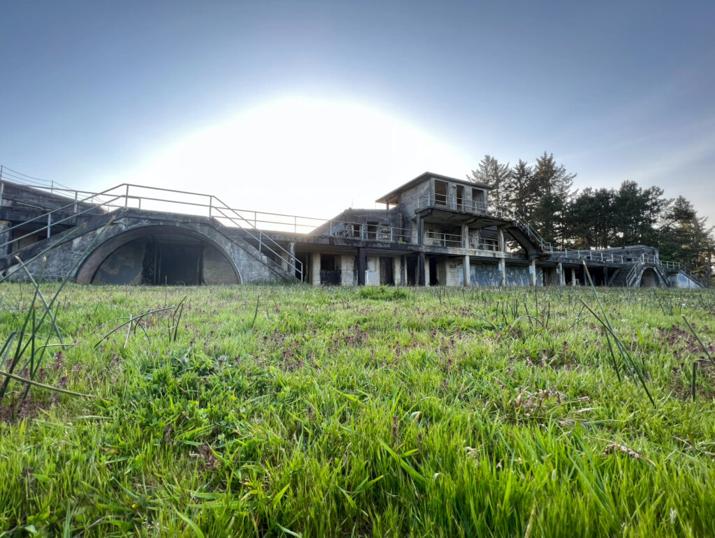
Walking around this battery, I was honestly a little creeped out and had a weird feeling the whole time. It didn’t help that the sun was near setting and that I was the only one walking around the battery.
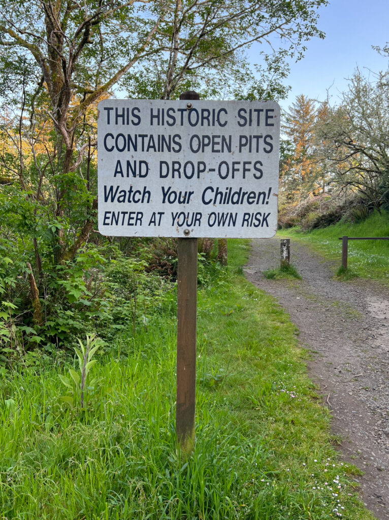
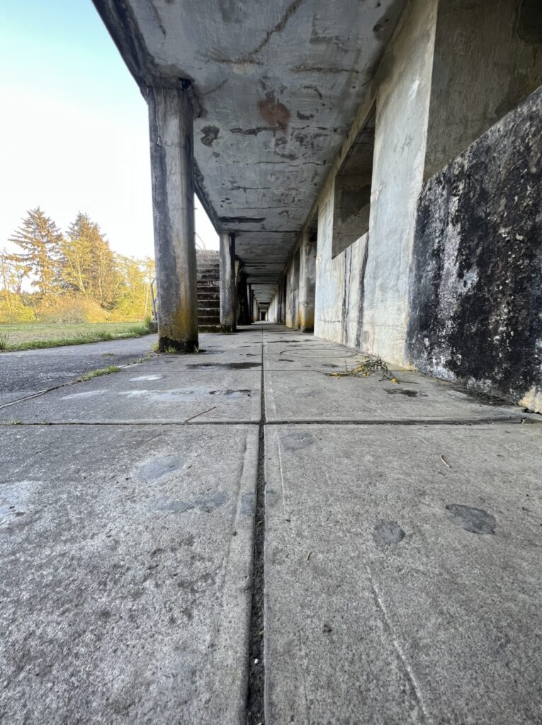
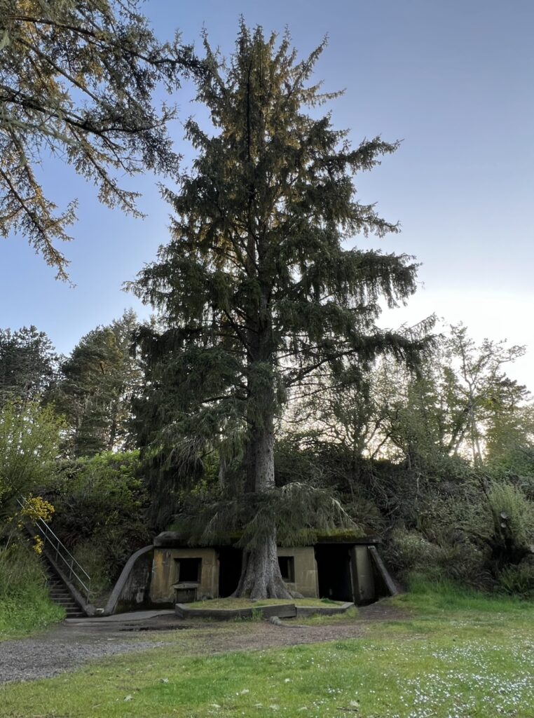
After exploring this battery, I looked up ghost stories surrounding it. I read a few stories that included sightings of men dressed WWII-era military uniforms, eerie feelings, and orbs of light. You can read more about this here.
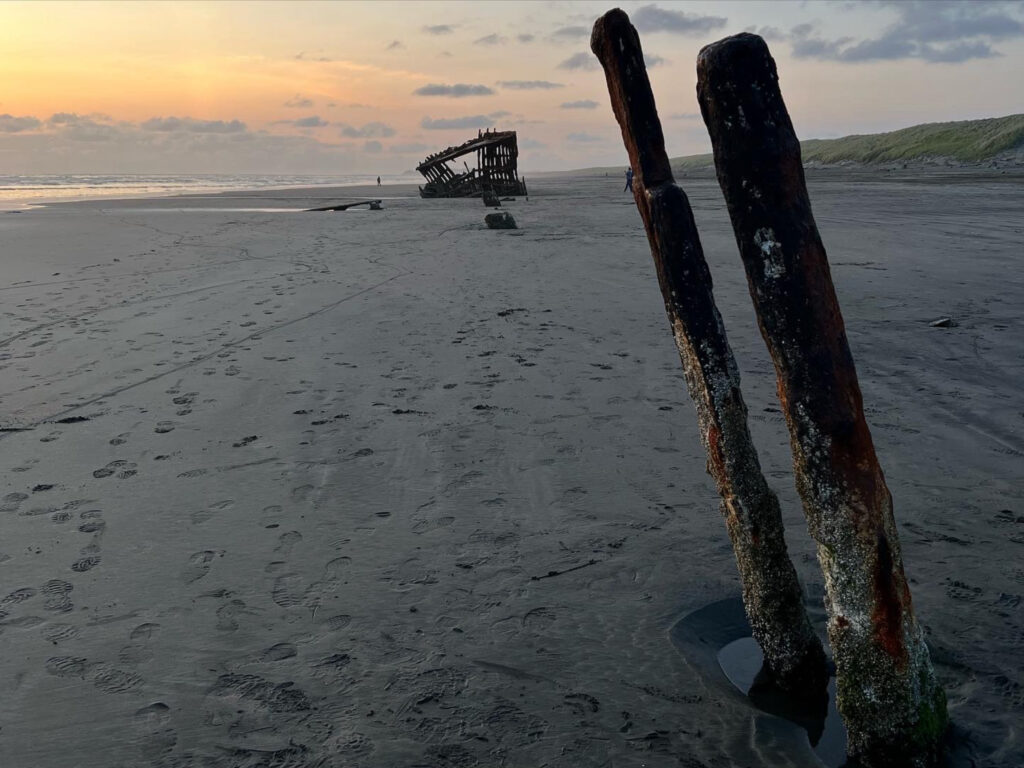
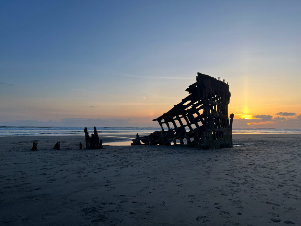
Wreck of the Peter Iredale
On September 26, 1906, the Iredale left Mexico and sailed to Portland where it was supposed to pick up wheat for the United Kingdom. As it neared the mouth of the Columbia River, the ship was swept up in strong currents and ran aground at Clatsop Beach. It hit so hard that three of it’s masts snapped on impact. None of the crew were injured, but the ship has been left abandoned ever since. The ship has been broken up by waves, wind, and sand over the years.
cannon beach
Cannon Beach
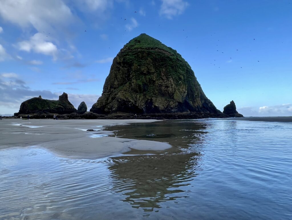
Honestly, the only reason I wanted to go to Cannon Beach was to see the famous rock featured in The Goonies, Haystack Rock. The Goonies was one of my comfort movies growing up and I watched it multiple times when I was sick. This area is gorgeous and there are so many tide pools at low tide (there are signs all over saying not to walk on them). I recommend going early in the morning to beat the crowds.
Hug Point
Hug Point
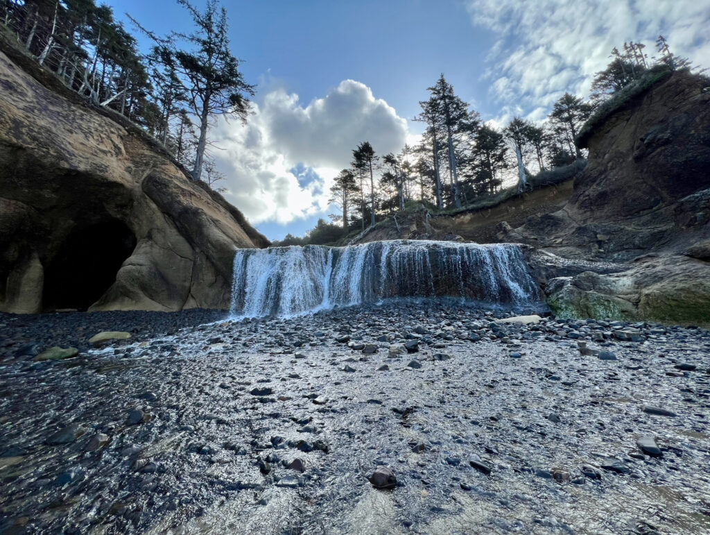
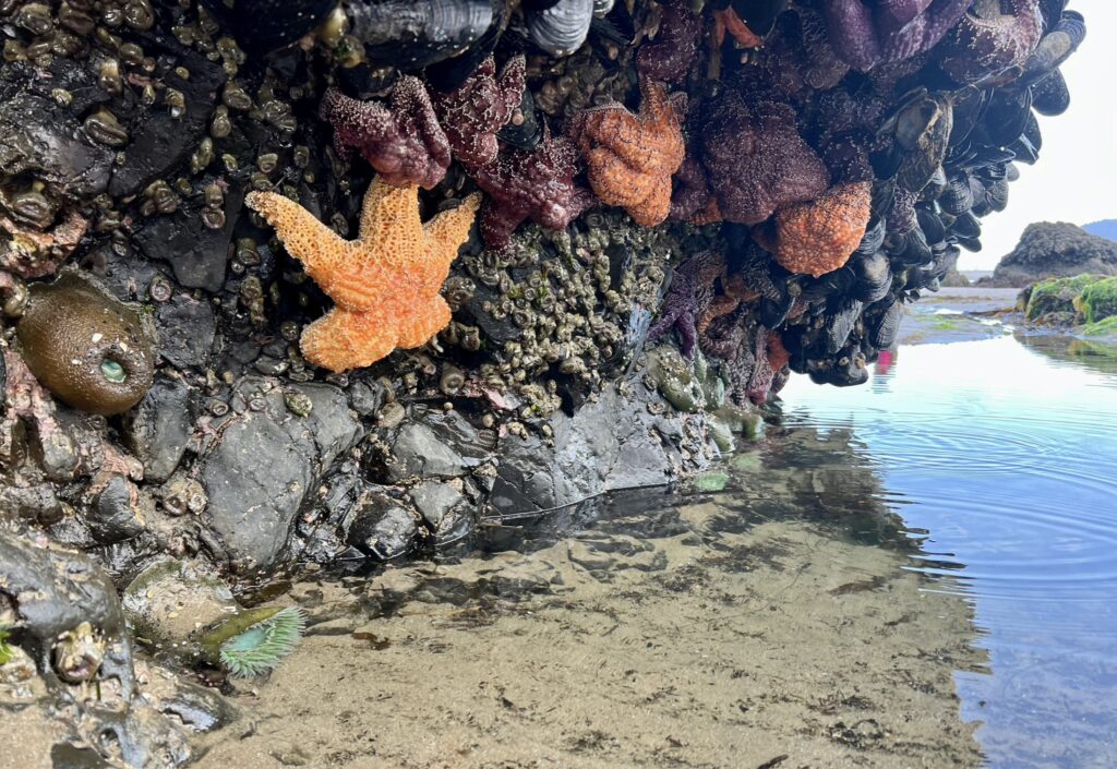
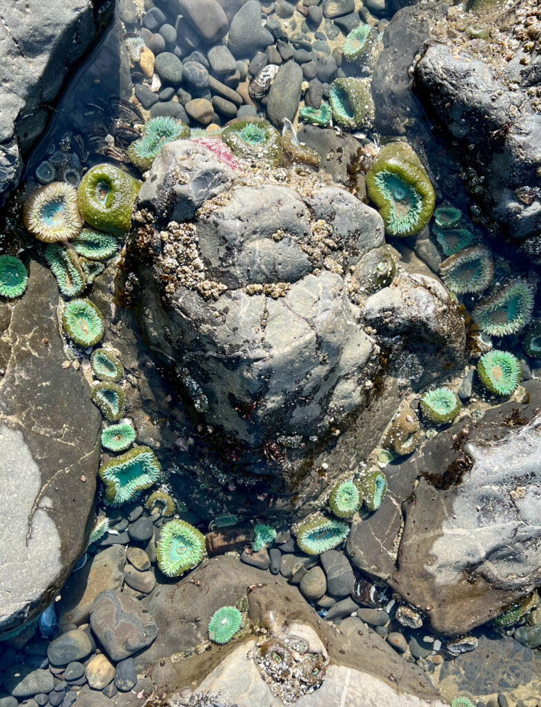
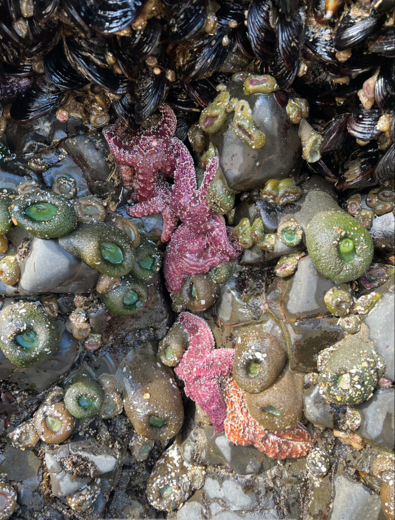
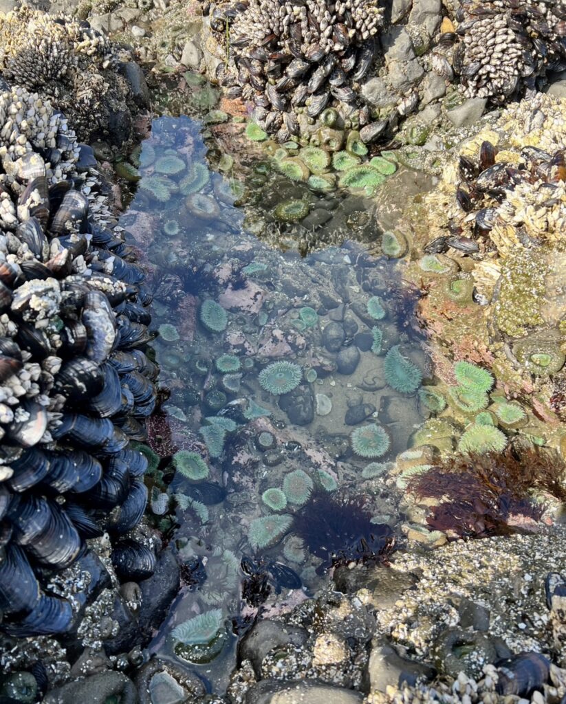
This was a unique beach with a short waterfall, shallow cave, and several tide pools. I spent a good amount of time here walking around looking into the tide pools. I saw a lot more sea creatures in them here than I did at Cannon Beach (I’m assuming it’s because less people come here).
Neahkahnie Viewpoint
Neahkahnie Viewpoint
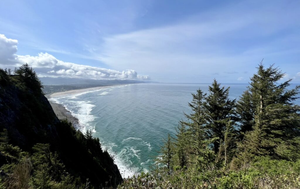
This mountain summit will give you one of the best views along the Oregon Coast. The best part about this viewpoint is that it is right off the highway.
Cape falcon
Cape Falcon
This trail is my favorite one along the coast. I think that this is because I didn’t plan to do this hike and it exceeded the zero expectations that I had. Since Ecola State Park was closed, I had extra time and decided to look up hikes in Oswald West State Park. This one peaked my interest because it is a moderately rated coastal hike. It is 5 miles round-trip, but honestly it didn’t feel like it was 5 miles because it wasn’t too difficult and I was fully immersed in the old-growth forest around me. This hike was so muddy that I gave up on keeping my boots clean. Make sure you download a map on Google Maps or carry a physical map with you because the cell service in this park is extremely spotty. The trailhead is not obviously marked, so map out the route beforehand.
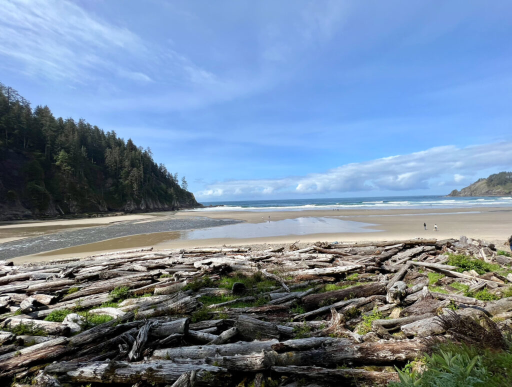
At about 0.5 miles into the trail, you will come to a junction to either continue on to Cape Falcon to the right or go down to Short Sand Beach to the left. Short Sand Beach is an extremely popular surf spot. I recommend making the short detour to the beach on your way back. As you continue up the trail to Cape Falcon, you will get glimpses of Short Sand Beach.
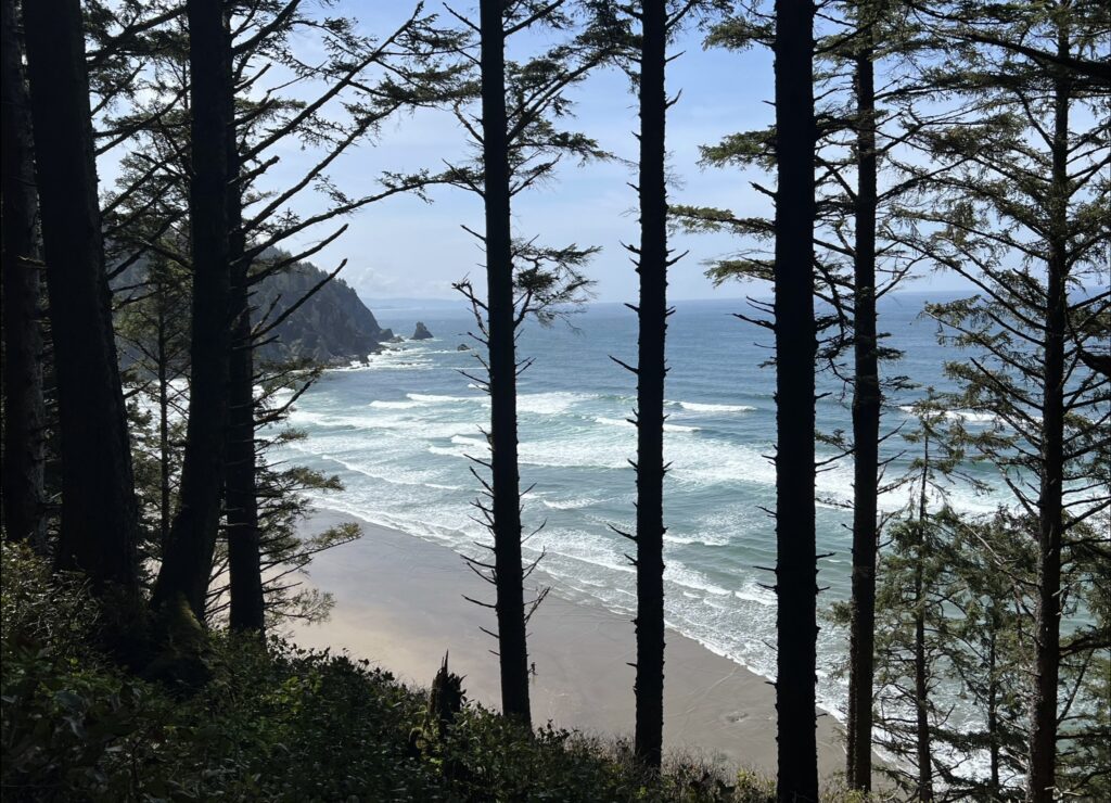
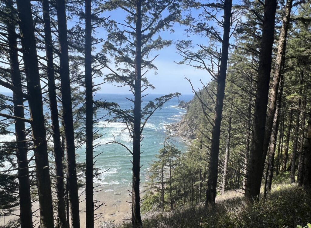
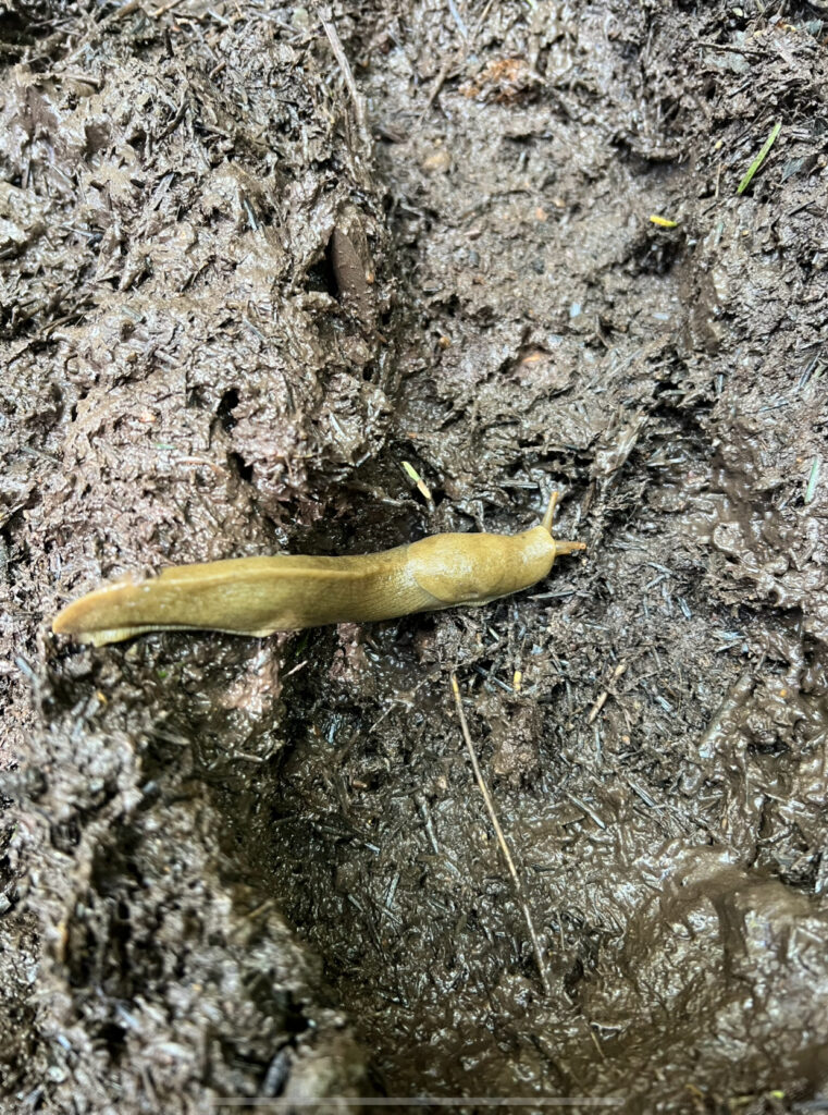
This old-growth forest is made up of large spruce trees. As you hike through the forest you will pass lush vegetation, small streams, and maybe even some wildlife. I found a banana slug while I was hiking. These slugs are adorable.
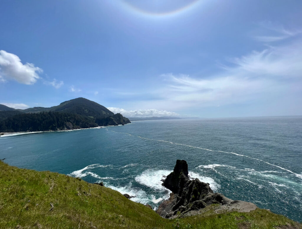
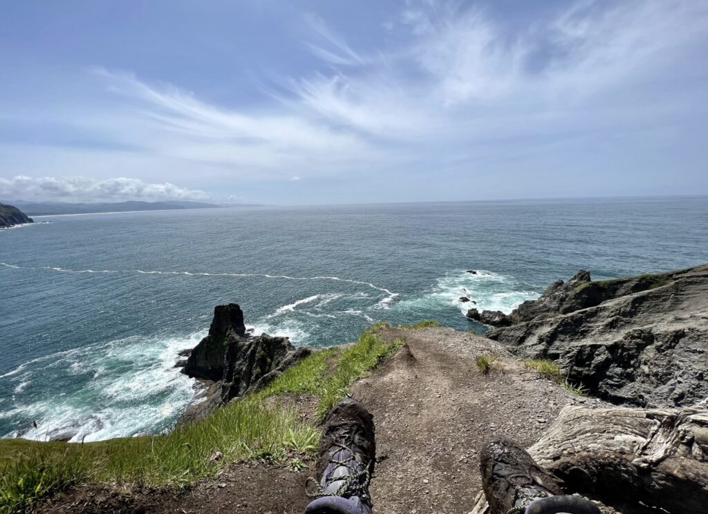
When I reached the end of Cape Falcon, I had the entire cape to myself. I was able to take in the views and enjoy a snack in solitude. It is a far drop to the ocean, so be careful when you are sitting near the edge of the cape’s cliffside.
tillamook
Tillamook Creamery
In my opinion, Tillamook Creamery was very underwhelming. I was lucky that it wasn’t crowded when I went because I wouldn’t have wanted to wait in line to get inside. It seemed like this was a popular tourist spot in the summer because the parking lot was HUGE. I do love Tillamook products and it was fun to spend about 30 minutes walking around without the crowds. I had to get some ice cream straight from the source, of course.

Cape Meares
Cape Meares
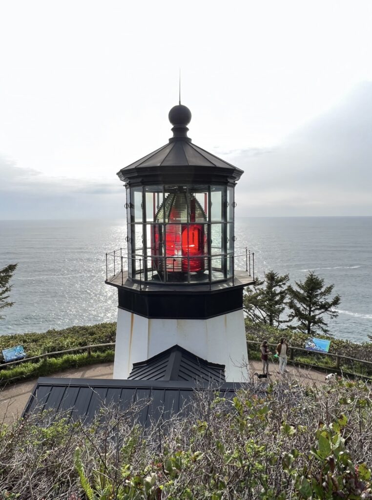
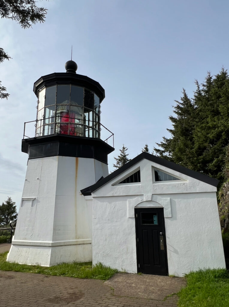
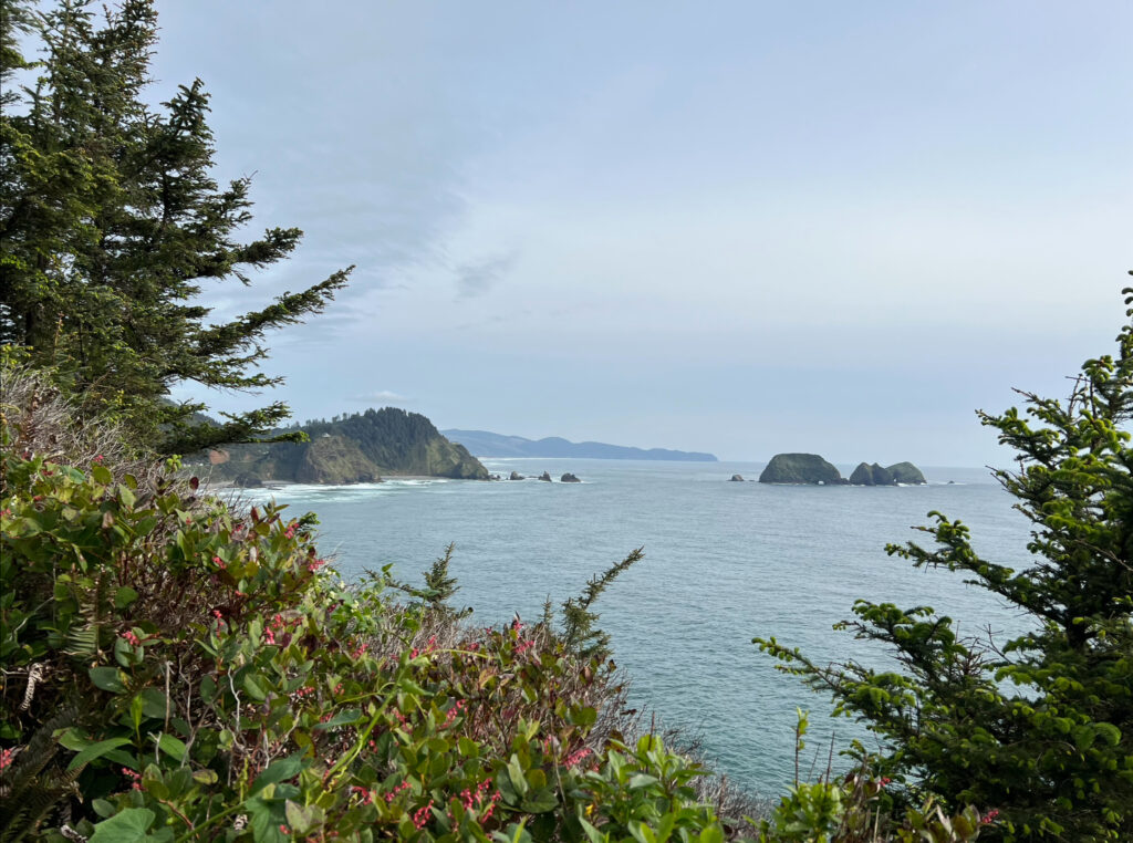
Cape Meares is on the Three Capes Scenic Route, which includes Cape Kiwanda and Cape Lookout. Cape Meares Lighthouse is the shortest lighthouse on the Oregon Coast and features a kerosene-powered lens. From the parking lot, there is a 0.5 mile paved loop that goes down to the lighthouse and back. Octopus Tree can also be found near the parking lot. There are several other trails in this area that I did not have the energy to do after a day full of activities.
Short Beach
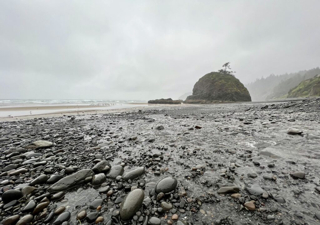
Short Beach is one of the lesser known beaches in Oregon. The 1,000 meter beach features a small sea stack and waterfalls that pour from forested cliffs. You can find agates and jasper amongst the rocks on the beach. To get down to the beach, you will park in the small parking lot up the hill at the marked trailhead. The path down is fairly short and contains wooded steps. This path is only about 20 years old and was created by locals after multiple people were injured while climbing down the muddy hillside.
Cape Lookout State Park
Cape Lookout State Park
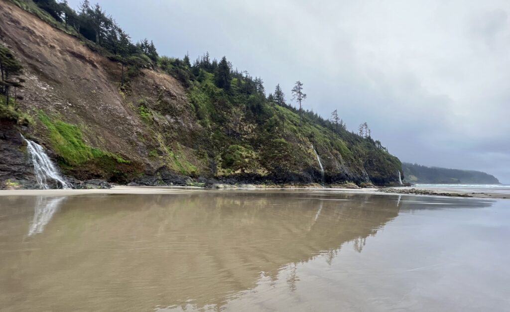
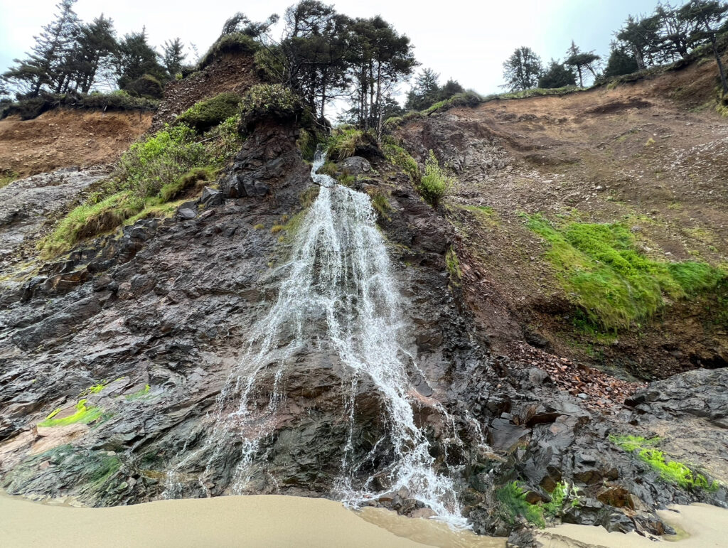
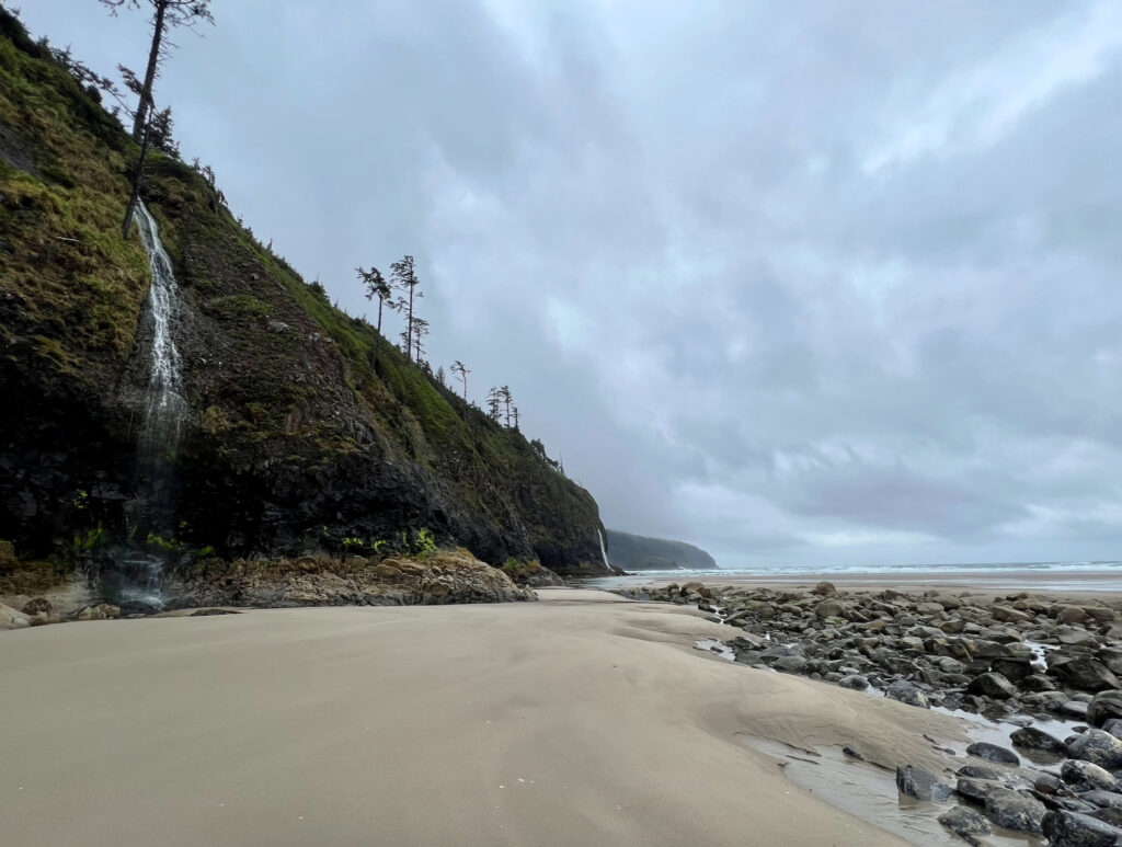
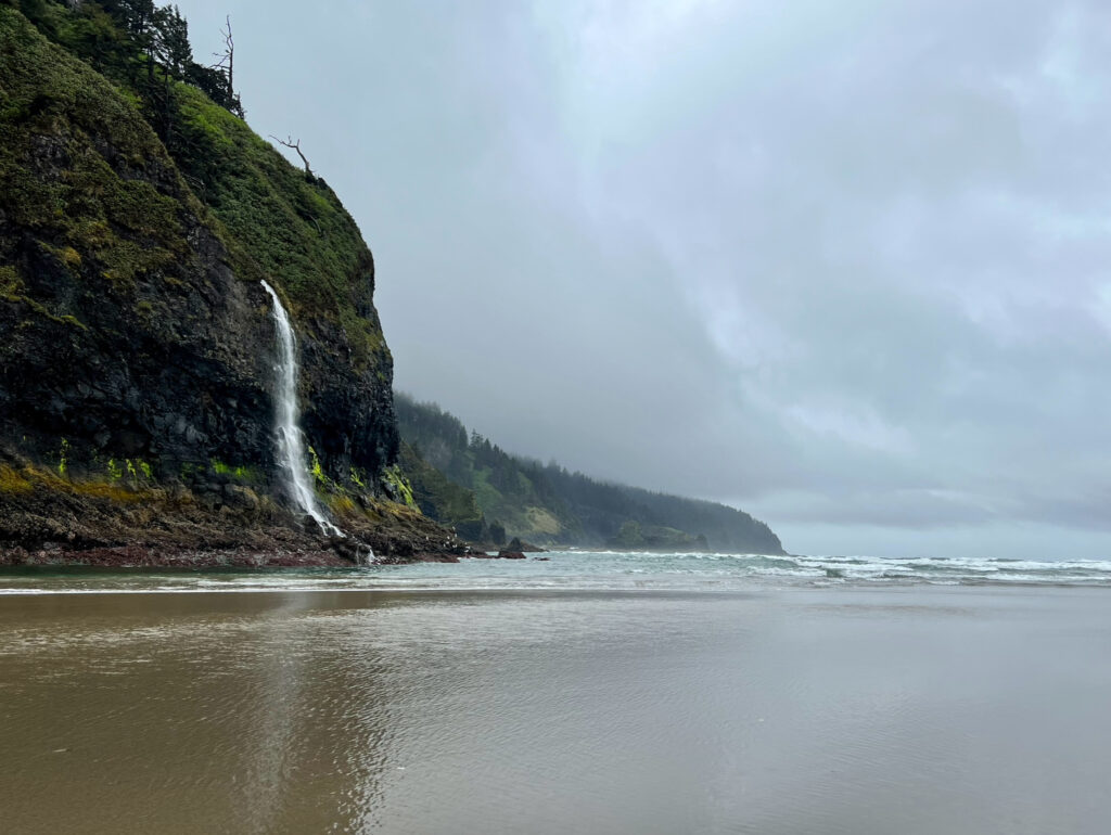
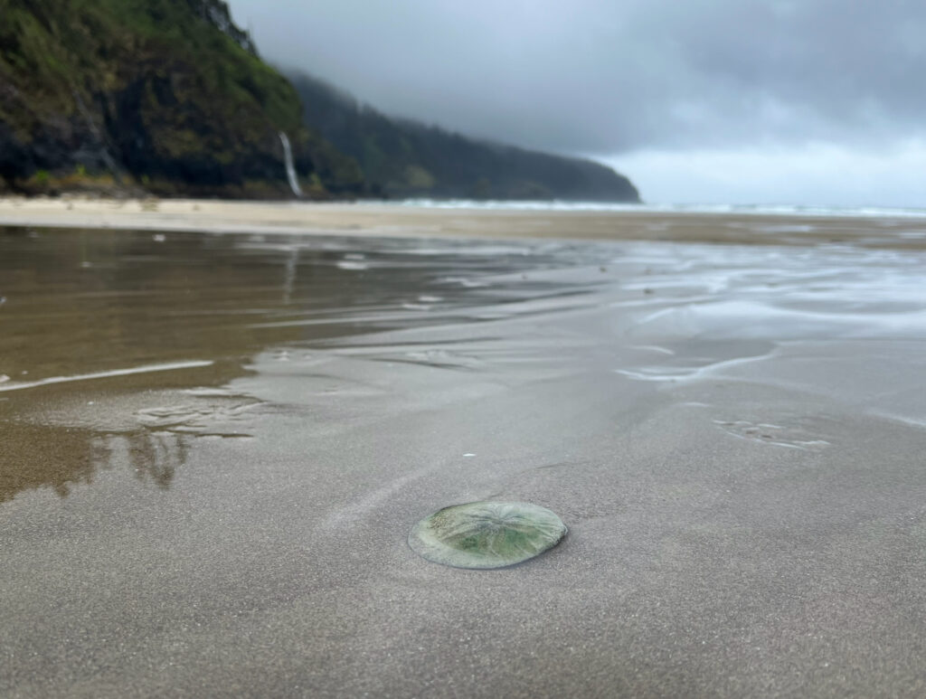
When I went to Short Beach and Cape Lookout, it was a rainy, foggy day. This was the first day that I had to pull out my rain gear. Cape Lookout was more exposed than Short Beach, so I was also battling light winds in addition to the rain. While weather like this isn’t very fun to be in, it makes for a moody, scenic setting that can’t be beat. There is a 4.7 mile trail that leads out to Cape Lookout. I wasn’t able to do this trail because it was closed due to downed trees and a broken bridge. I took a wet stroll along the beach instead. The series of waterfalls cascading down the cliffside can be found on the left side of the beach. I walked as far as I could out to the furthest waterfall.
Cape Kiwanda
Cape Kiwanda
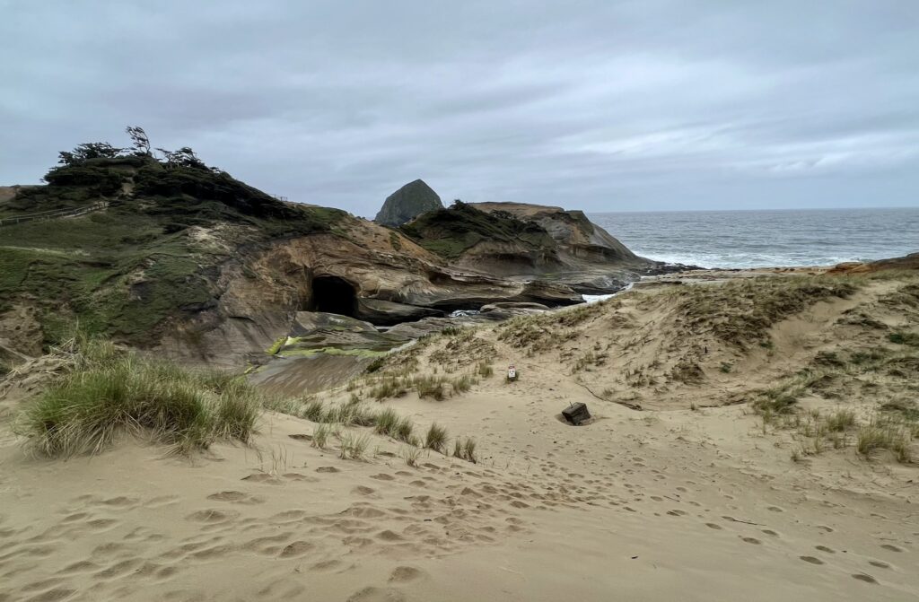
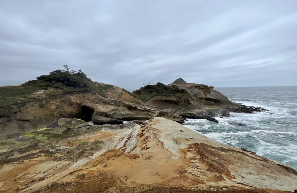
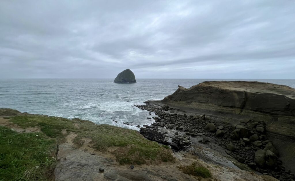
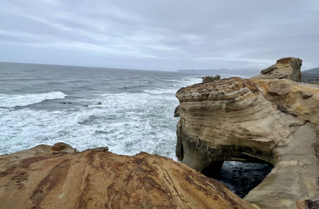
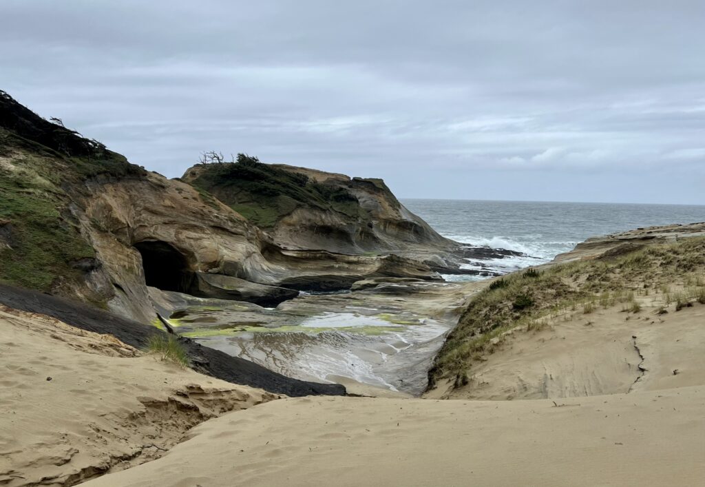
Out of all of the capes on the Three Capes Scenic Route, Cape Kiwanda was my least favorite. To access the cape, you had to park in the middle of Pacific City along the beach. It felt too public and exposed compared to Cape Kiwanda and Cape Lookout. The other two capes felt more private and secluded. Plus, I love being surrounded by the forest. That being said, Cape Kiwanda is just a short walk from the parking lot and is still worth checking out. Wear footwear that you won’t mind getting sandy. You’ll have to scale up the sand dune to get to the top of the cape.
Drift Creek Falls
Drift Creek Falls
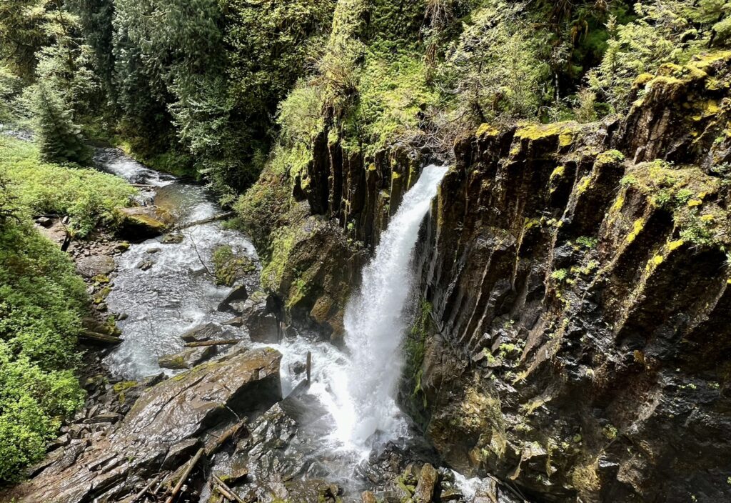
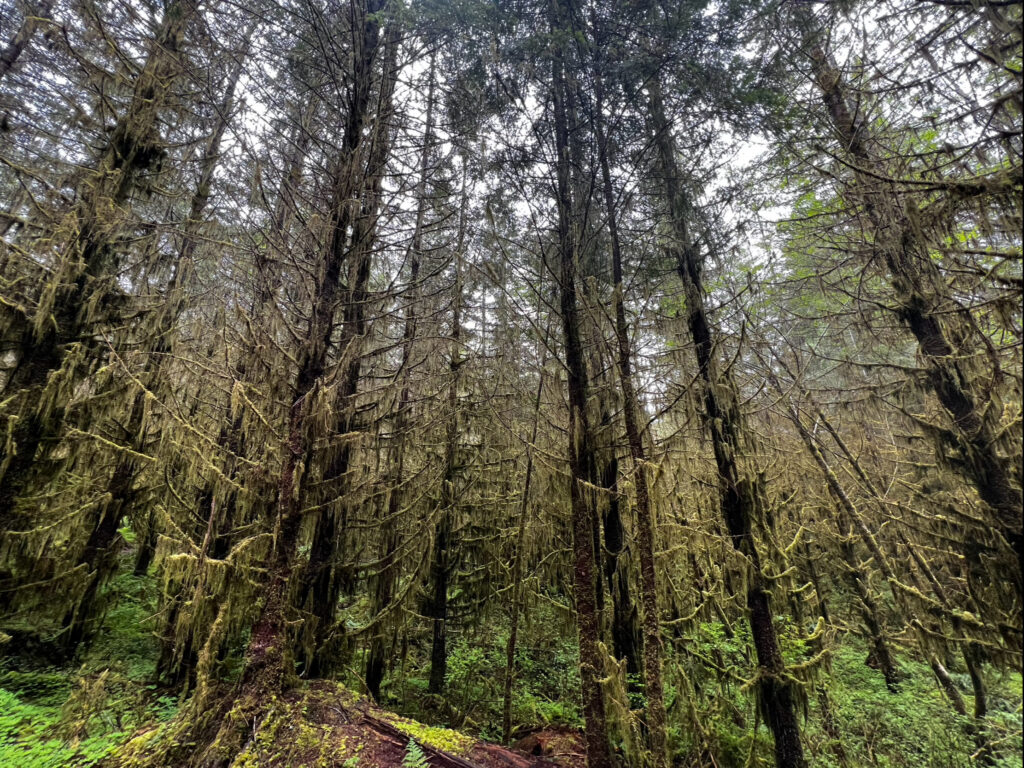
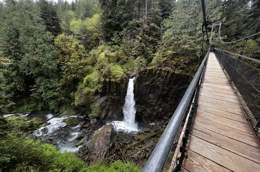
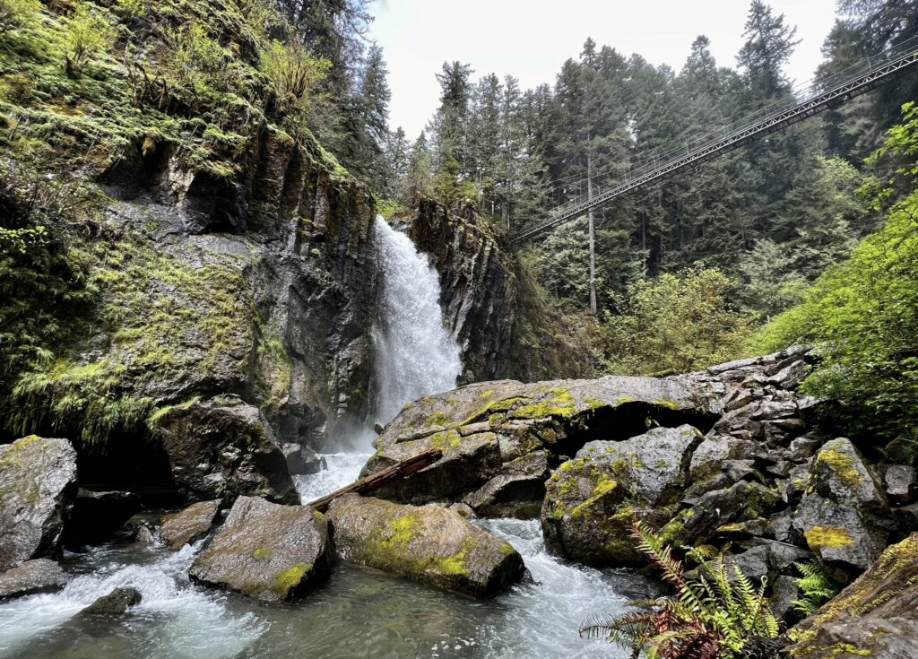
You may have heard about Drift Creek Falls on social media as it has become increasingly popular over the past few years. Drift Creek Falls is located basically in the middle of nowhere on a forest service road. Be sure to map out the route beforehand because you will not have service up this road. The hike to the falls is 3.1 miles and is fairly easy, although it can get muddy. Most of this hike you will be surrounded by a lush coastal forest full of greenery and moss.
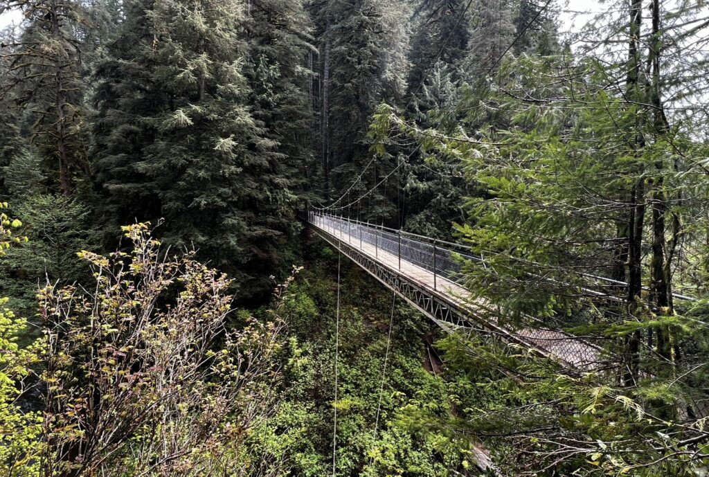
You will know you are close to the end of the trail when you reach the 240 foot long suspension bridge. This bridge hangs 100 feet above the canyon floor. If you are scared of heights like I am, crossing this bridge can be a heart pounding experience. The bridge is very secure though and being surrounded by the gorgeous views the canyon has to offer almost makes you forget how high in the air you are.
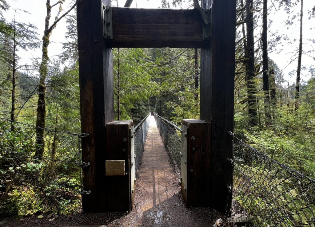
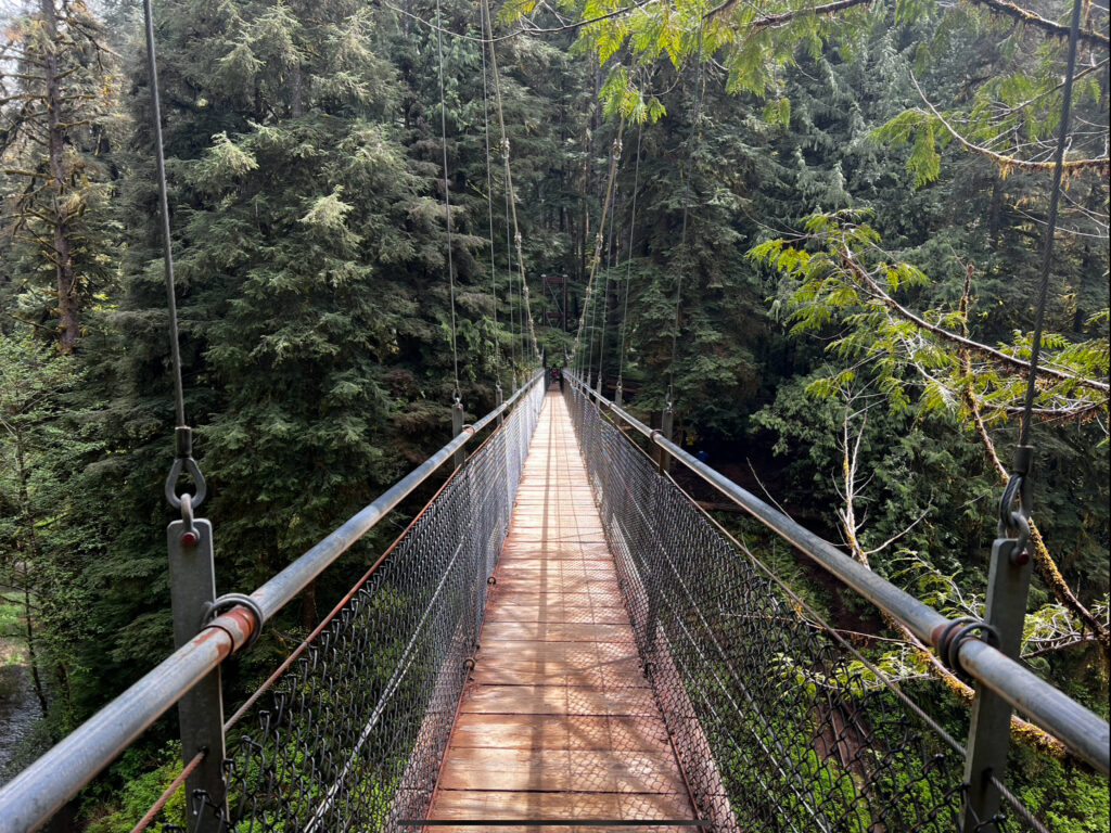
Once you brave the bridge crossing, you can hike down to the lower viewpoint of the Drift Creek Falls. You just have to continue along the trail and hike down a small, steep hill.
devils punchbowl
Devils Punchbowl Arch
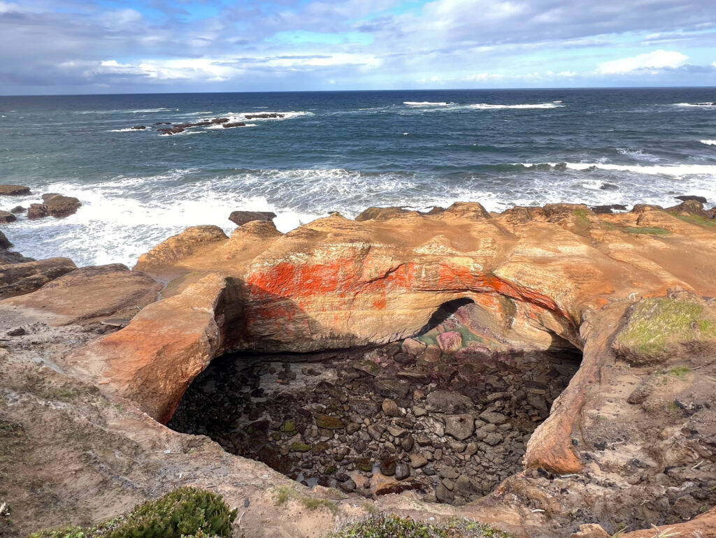
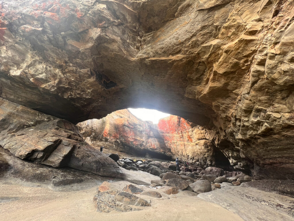
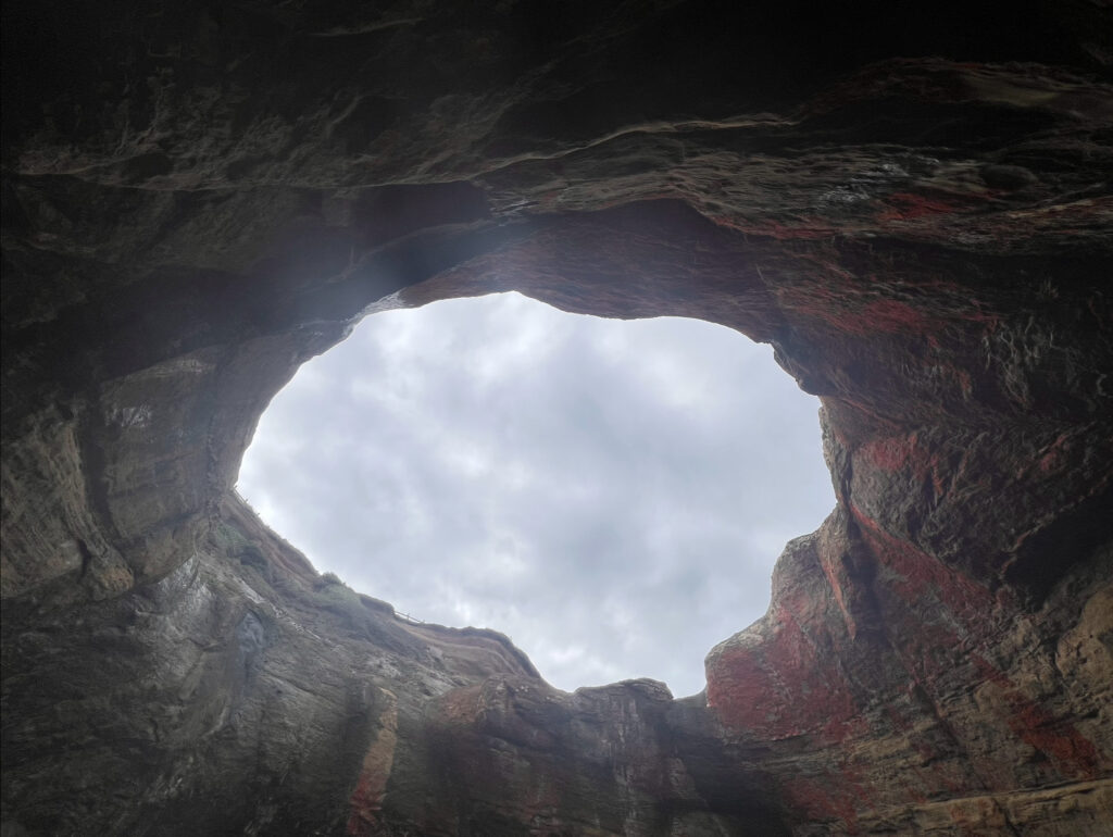
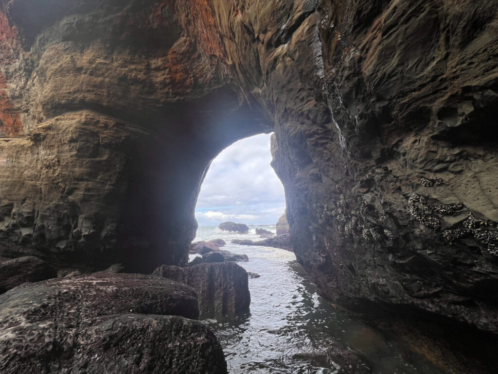
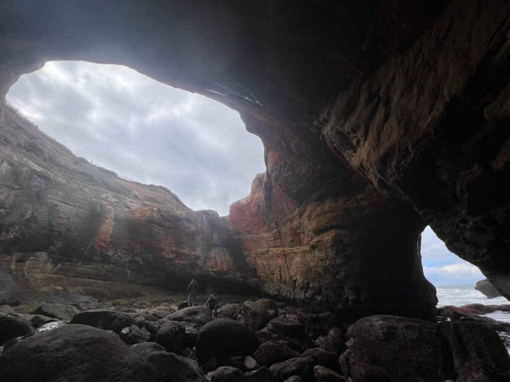
Devils Punchbowl is one of the most unique geological structures I’ve ever seen. It is assumed that this bowl was created ages ago from the collapsing of two sea caves. Waves enter the bowl and violently churn, swirl, foam, and continue to slowly shape it to this day. I arrived first thing in the morning at low tide. As you can see in the picture above the bowl was empty of seawater. I’d seen pictures that others posted from inside the bowl, so my goal was to get down inside it while the tide was low. DO NOT try to attempt this when the tide is coming in or is high, it is extremely dangerous. I found parking by Otter Crest Beach, just a short drive north of the bowl. You can access the inside of the bowl by walking south along this beach. You have to do a little climbing onto rocks that might still be wet from the ocean, so take it slow or you might slip and hurt yourself.
Yaquina Head Lighthouse
Yaquina Head Lighthouse
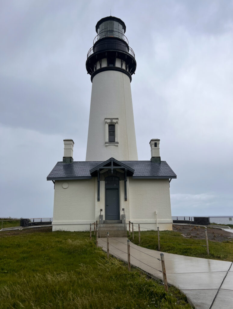
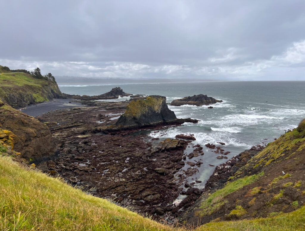
Out of all of the stops that I made along the coast, this was my least favorite one. Why? Because it was extremely crowded (as I have mentioned multiple times, I’m not a huge fan of crowds) and Cobble Beach was in a depressing state. There were signs everywhere saying not to walk on the reefs and rocks (similar signs to Haystack Rock). It was evidence of how crowded this spot is and how much damage humans can do to nature. The only reason I am sharing this spot is because it is easily accessible and is a popular place to stop. I only stayed here long enough to look at the lighthouse and take a quick walk down to the beach.
Cape Perpetua
Cape Perpetua
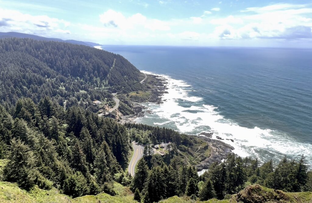
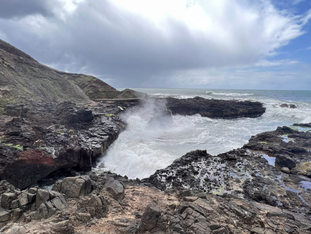
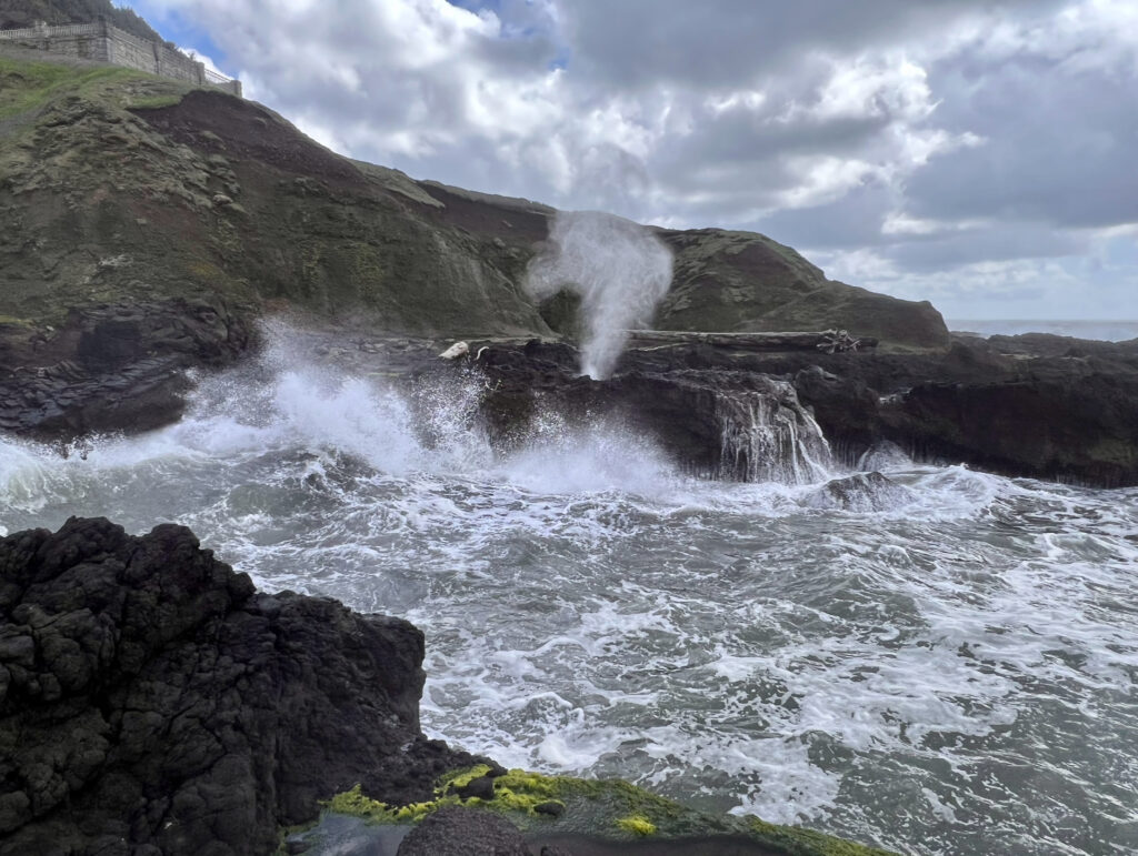
Cape Perpetua is home to a few famed spots along the Oregon Coast, including the view in the picture above and Thor’s Well. It is one of the most beautiful places along the coast and was one of my favorite places that I stopped at. The Cape Perpetua Lookout is the highest viewpoint accessible by car on the Oregon Coast. This lookout towers at 800 feet and has short 0.2 mile loop that goes around it for full views of the coast. If you are looking to get in a workout, there is also a steep 2.8 mile roundtrip hike up to the lookout from the visitor center. The visitor center is the access point to other hikes and is where you can purchase a $5 day pass for the area. More information about each trail can be found here. The only “true” trail that I did was the 2 mile Giant Spruce Trail.
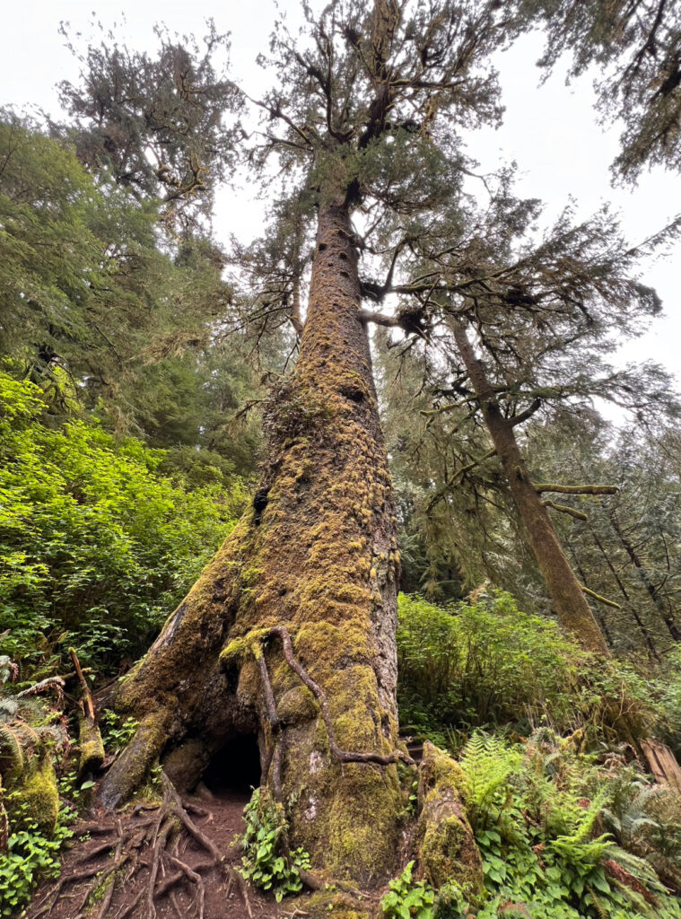
The hike out to this Giant Spruce a very easy walk. The spruce is over 450 years old, 185 feet tall, and has a circumference of 40 feet. After hiking this trail, I parked at Devil’s Churn and walked out to Spouting Horn. This walk allowed me to see Devil’s Churn, Cape Cove Beach, Thor’s Well, Cook’s Chasm, and Spouting Horn. You can park at each area individually, but I didn’t want to have to move my car more than once and preferred to walk along the coast. This route was a short and easy 1.4 miles roundtrip. When visiting these spots along the coast, I highly recommend going at high tide or when the tide is coming to near high tide. This will give you the most wave action and allow you to see seawater shoot into the air. I spent a while at each spot watching waves crashing against the rocks.
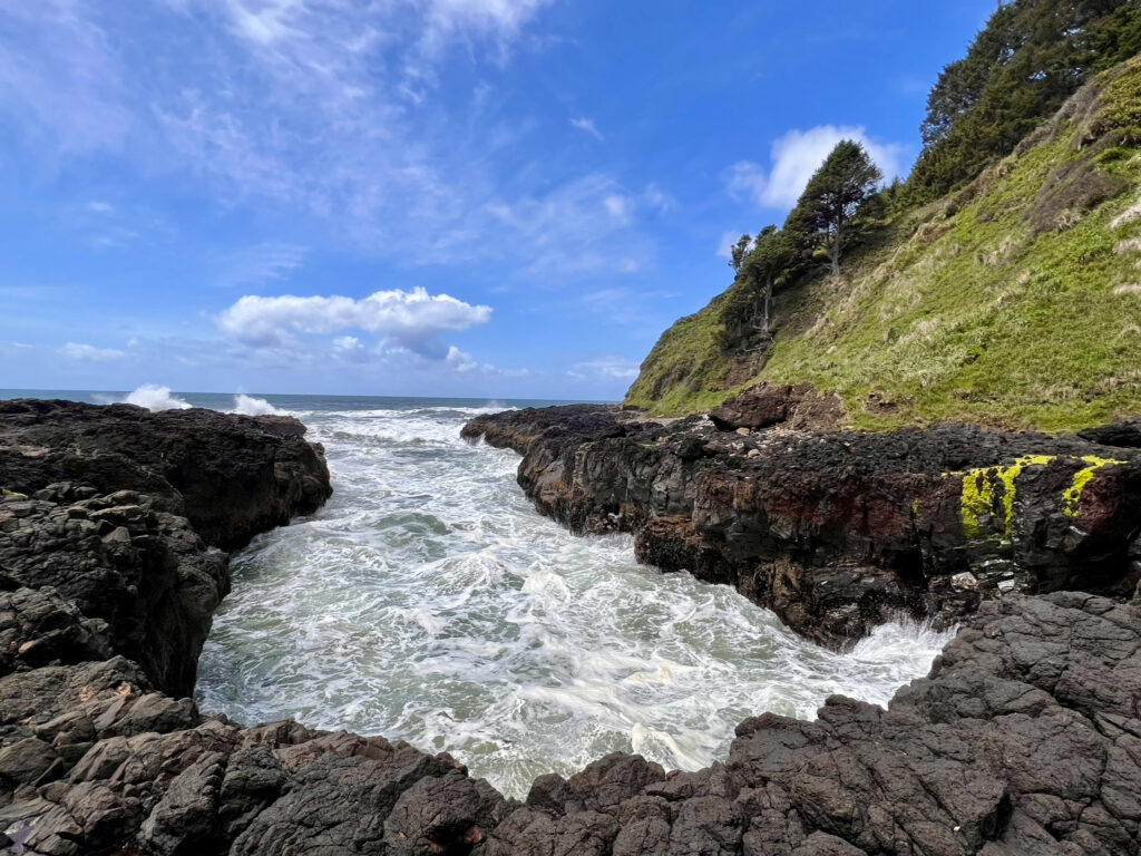
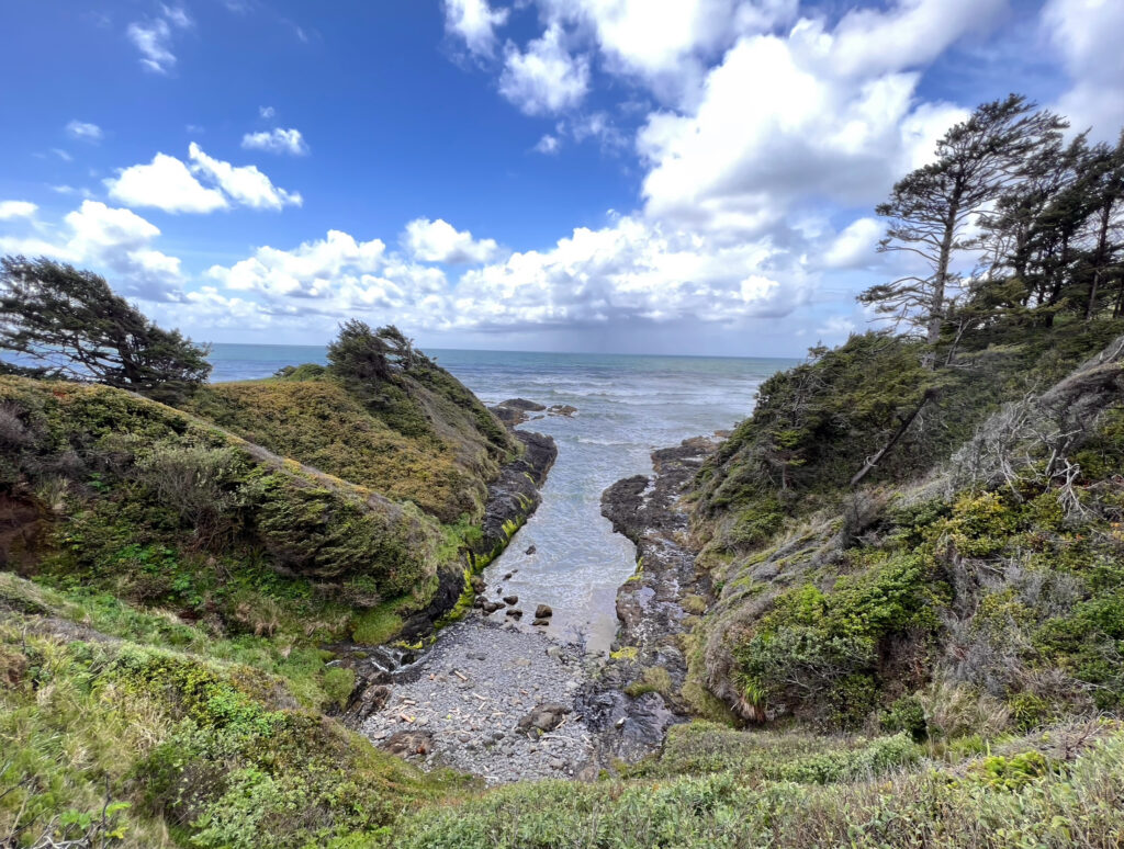
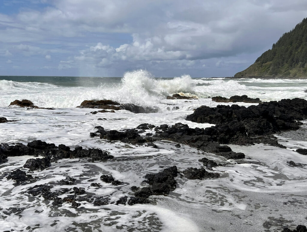
Out of all of the spots at Cape Perpetua, my absolute favorite was Spouting Horn at Cook’s Chasm. This was the first time I had ever seen an ocean geyser. As incoming waves funneled seawater and air into Spouting Horn’s cave, pressure would build and explode into a fountain of mist. The sound of this phenomenon is similar to the noise whales make when coming up to the surface for air. It was mesmerizing to watch and listen to. I spend about an hour watching waves shoot through the geyser.
sea lion
Sea Lion Caves
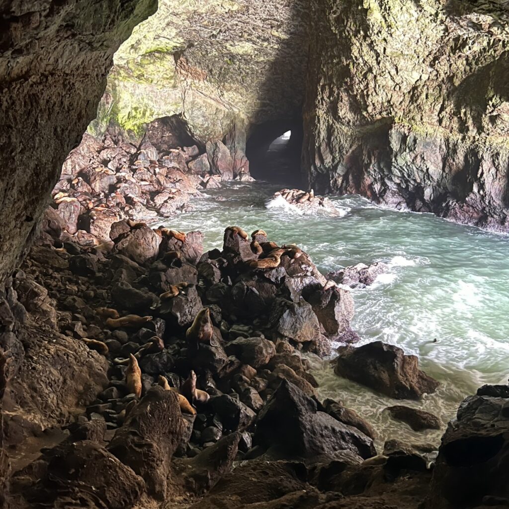
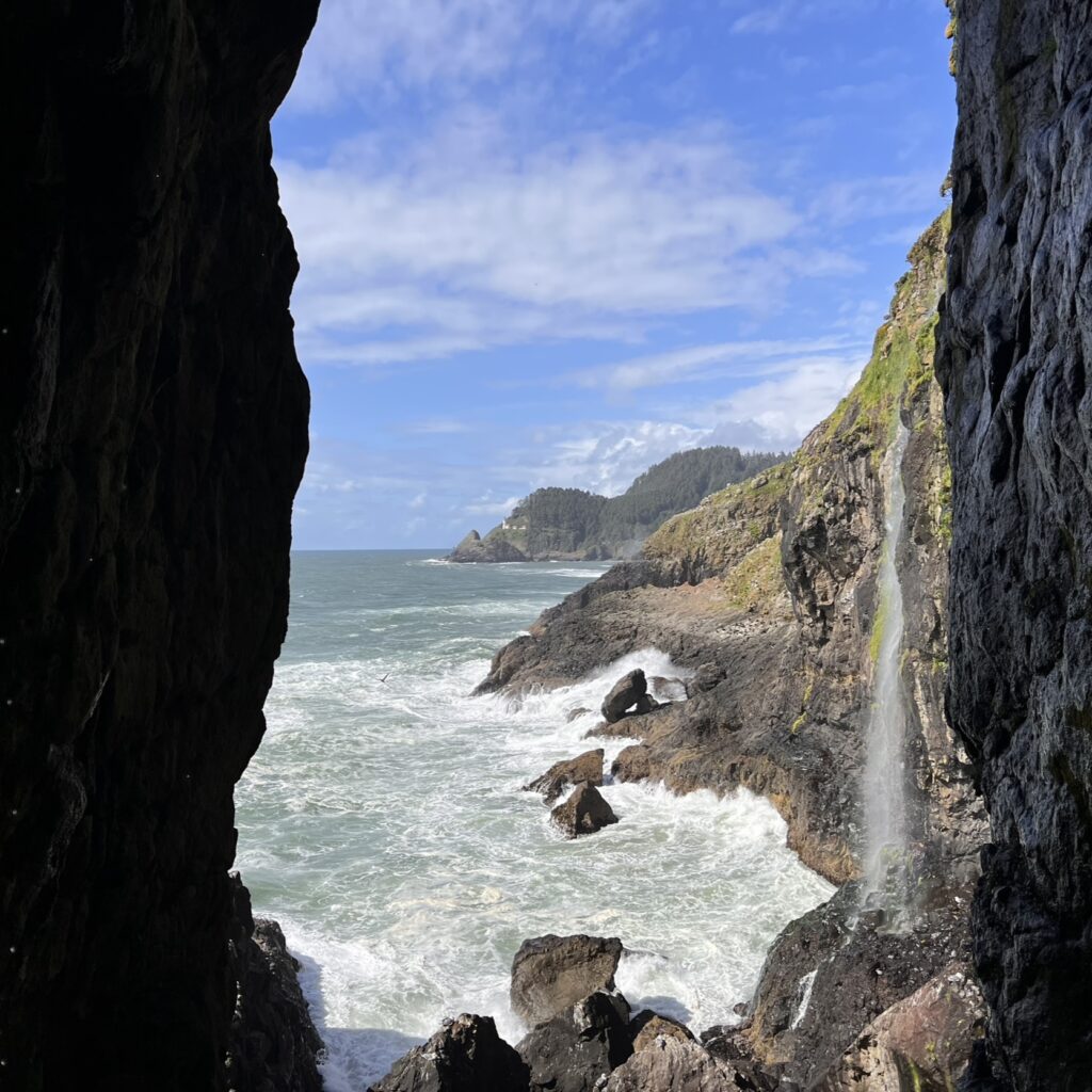
The Sea Lion Caves is a connected system of sea caves and caverns open to the Pacific Ocean. This spot is the largest sea cave in America. Sea lions are inside this cave during the spring and winter months. During summer, they can be found on the rocky ledges just outside the cave. It costs $14 to take the 208 foot elevator ride down to the caves to see the sea lions. The viewing area isn’t very large, but there is plenty to look at on this self guided tour.
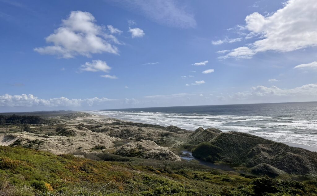
Cape Arago Highway
Cape Arago Highway
The Cape Arago Scenic Highway is a 14-mile road connecting three state parks. Explore tide pools in the protected cove of Sunset Bay, admire the sandstone cliffs at Shore Acres, and or watch sea lions barking at Cape Arago. If you’re in the mood for hiking, the parks are connected by the Oregon Coast Trail and there are plenty of other hiking options too. There are also many other viewpoints along this highway, so keep your eyes peeled.
Sunset Bay State Park
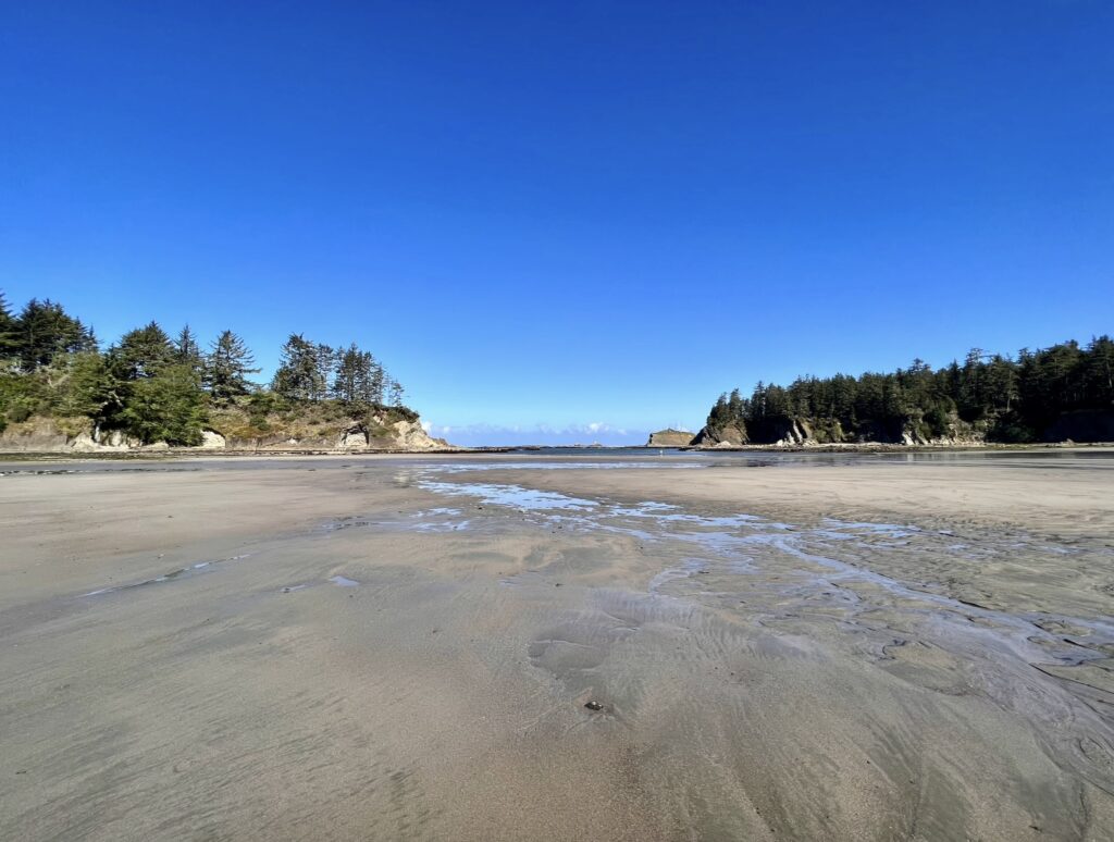
Sunset Bay State Park is the closest of the state parks to the Cape Arago Lighthouse. The lighthouse is on an island and is not accessible to the public. According to local legend, the protected cove may once have been a hideout for pirate ships.
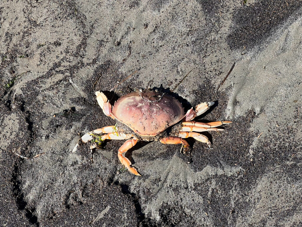
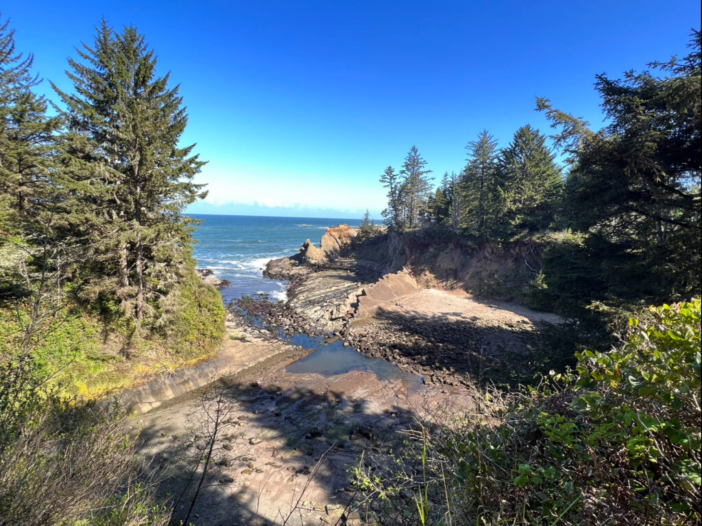
Shore Acres State Park
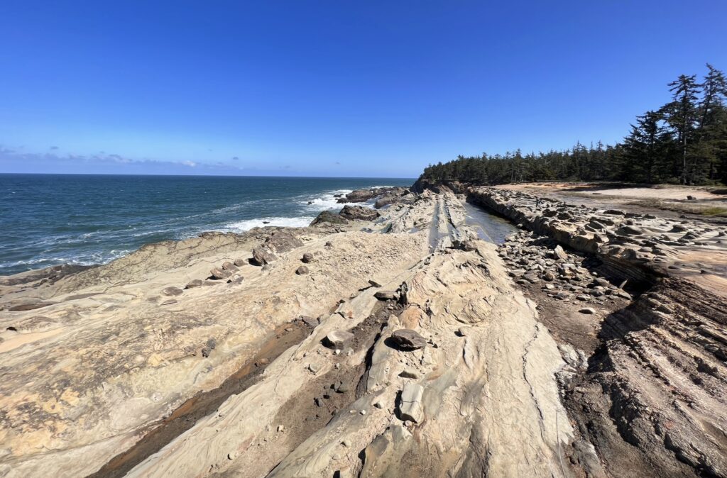
Shore Acres State Park was once the sprawling estate of lumber baron Louis J. Simpson, who built a summer home here as a gift to his wife. Where Simpson’s mansion once stood is now an enclosed observatory that looks out over the coast. Shore Acres Garden is a legacy of the Simpson estate and has been maintained by skilled gardeners throughout the years. There are many flowers in this garden from the spring to fall months. This is where I saw my first ever hummingbird. Along with the short walk through the garden, there is a 1.2 mile loop that takes you around the coastline and through the forest from the parking lot.
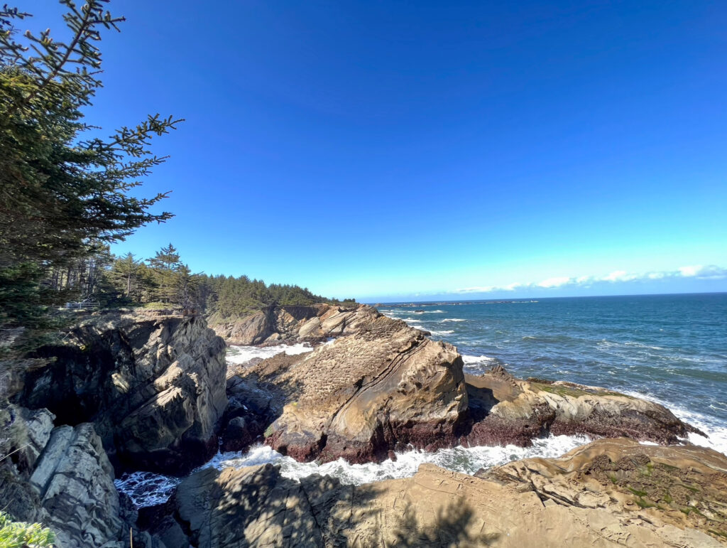
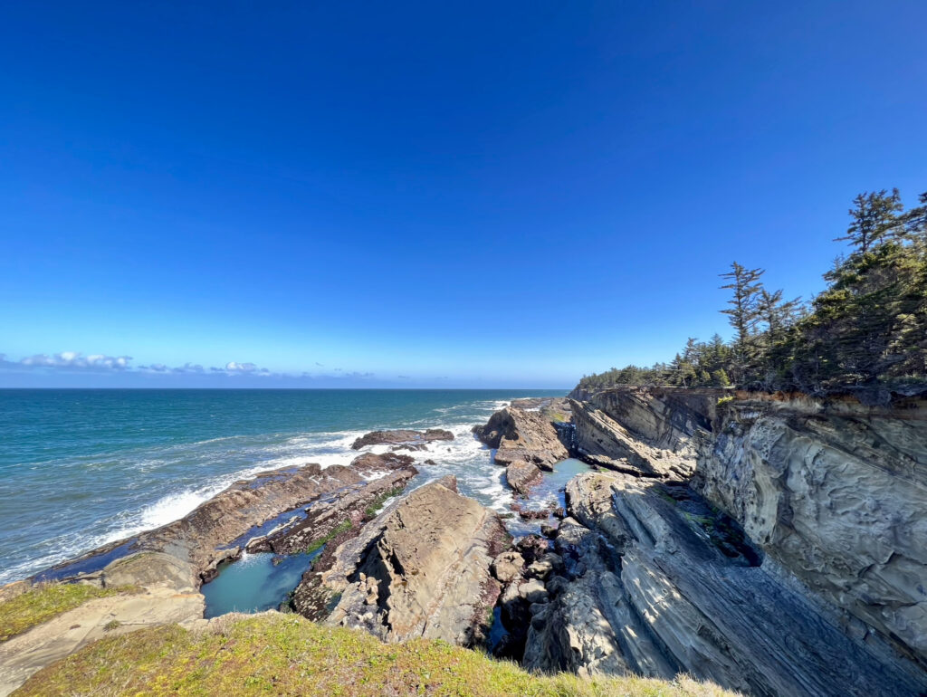
Cape Arago State Park
The Cape Arago Highway ends at Cape Arago State Park. This is one of the best places on the Oregon Coast to see wildlife, particularly seals and sea lions. While I was exploring the cliffside at this park, I could hear sea lions barking from an island in Middle Cove.
face rock
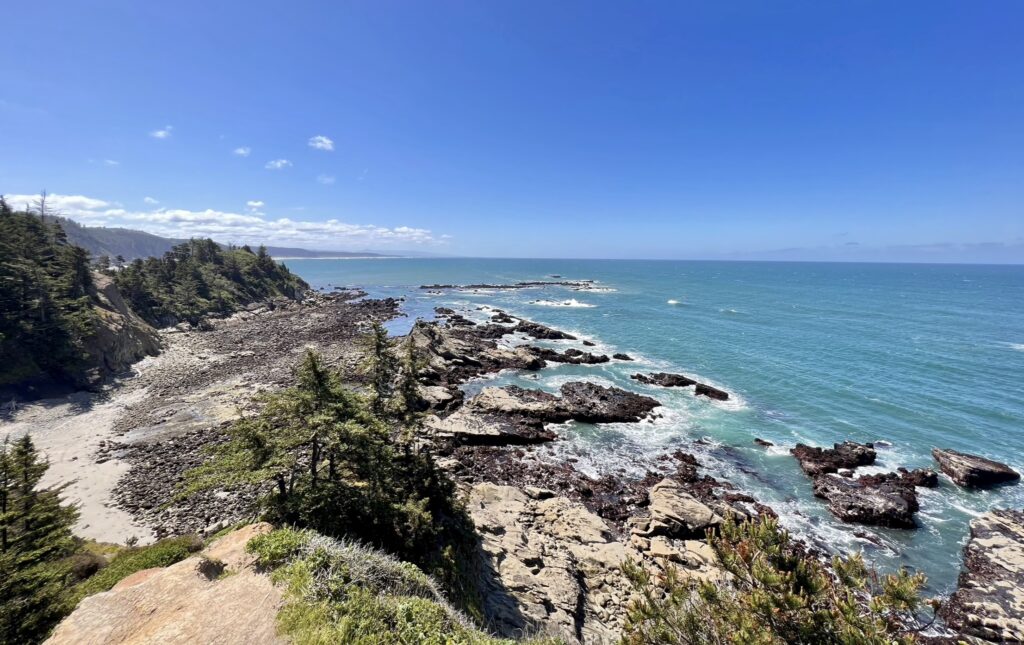
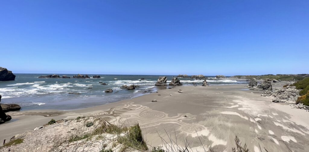
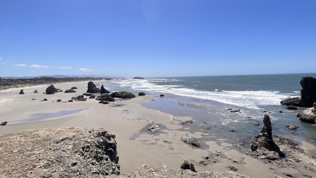
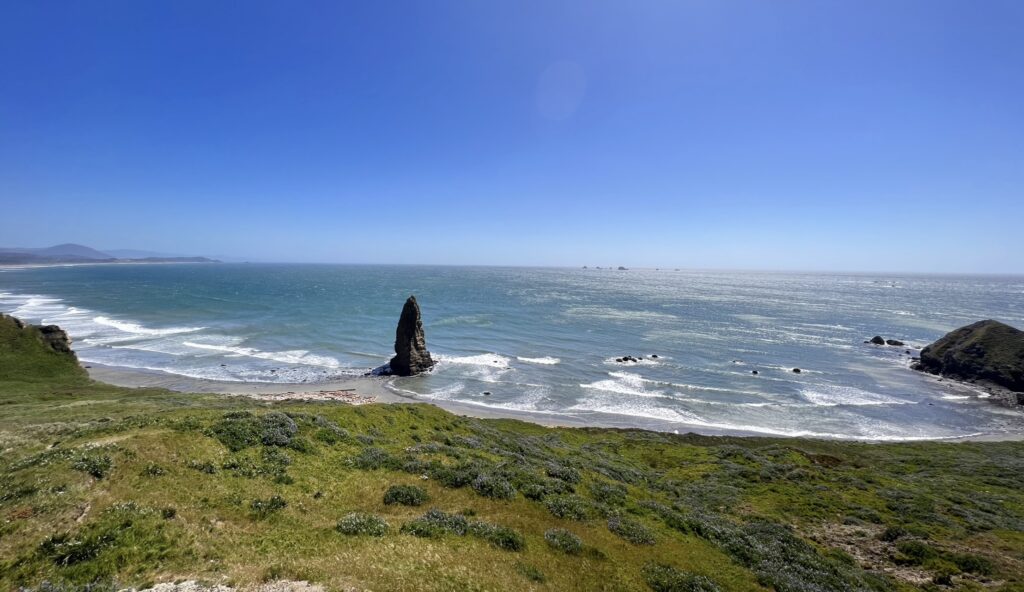
Oregon Islands National Wildlife Refuge & Face Rock State Scenic Viewpoint
These two beaches are just a two minute drive from each other. I didn’t explore much at either place because it was SUPER windy and I was exhausted by the time I got here. I didn’t go onto the beaches themselves and just looked at each area from the viewpoints.
Samuel H. Boardman State Scenic Corridor
Samuel H. Boardman State Scenic Corridor
Samuel H. Boardman State Scenic Corridor is 12 miles long and thickly forested along steep and rugged coastline with a few small sandy beaches. There are so many gems along this corridor that you could spend multiple days exploring it. I only stopped at a handful of places, but the ones that I did see were breathtaking.
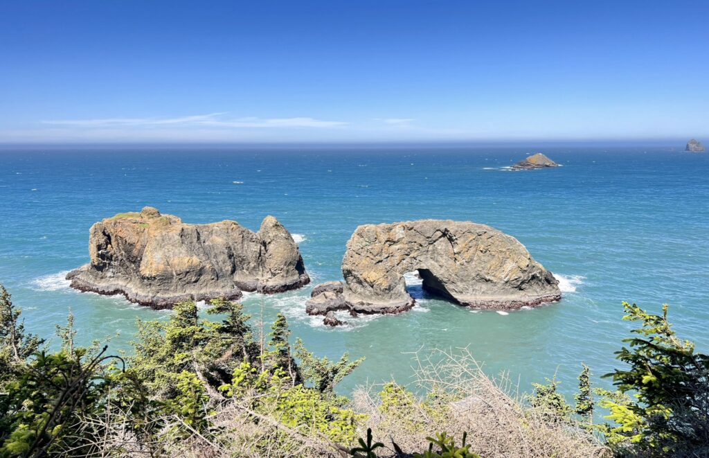
Arch Rock State Park
A short path from the parking lot leads to an overlook featuring this series of offshore sea stacks and islands. The stop at Arch Rock was a quick and easy one for this beautiful view.
Secret Beach
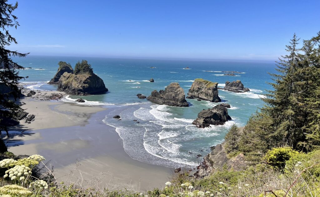
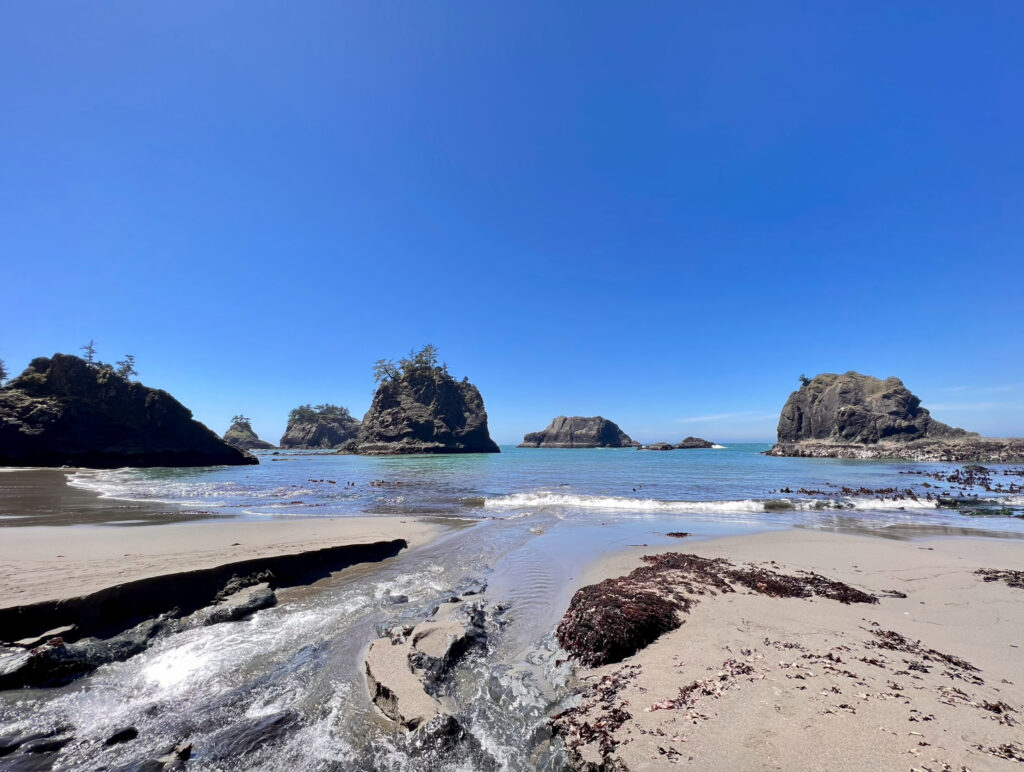
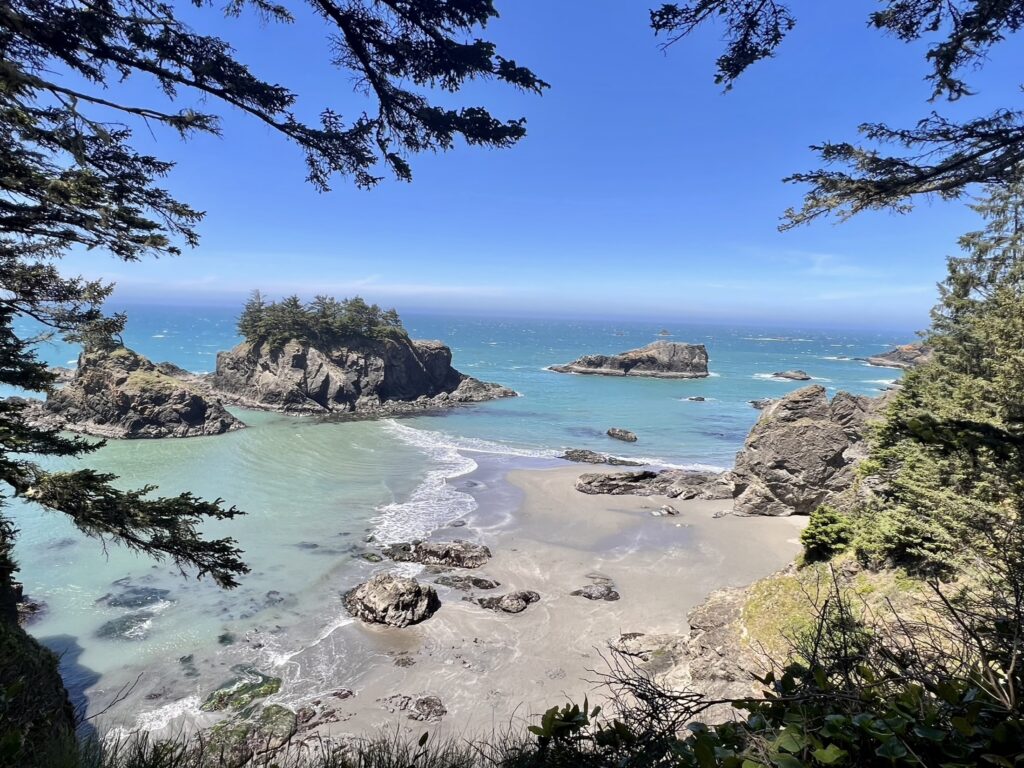
Secret Beach isn’t so secret anymore, but it is a little tough to find. There is a small gravel parking area for it 1/3 mile south of milepost 34 on Highway 101. The walk down to the beach is steep, but short. Just know that you can only reach most of the beach at low tide. Once you reach the beach you are greeted by a river flowing into the ocean and a sandy beach. There are sea stacks, tunnels, and tide pools throughout this beach.
Thunder Rock Cove
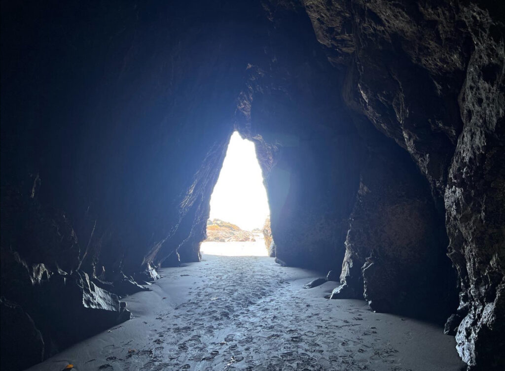
When a large wave enters the cove, it wraps around into a sea cave on the cliff. Large amounts of water and surrounding air are forced into the back of the cave, creating pressure. When the wave hits the back, forces on the air and water cannot push any further. This results in a thundering sound from the wave and air being thrust backwards. On a calm day this sound is still audible with the occasional wave, but it is much more pronounced during large swells and storms.
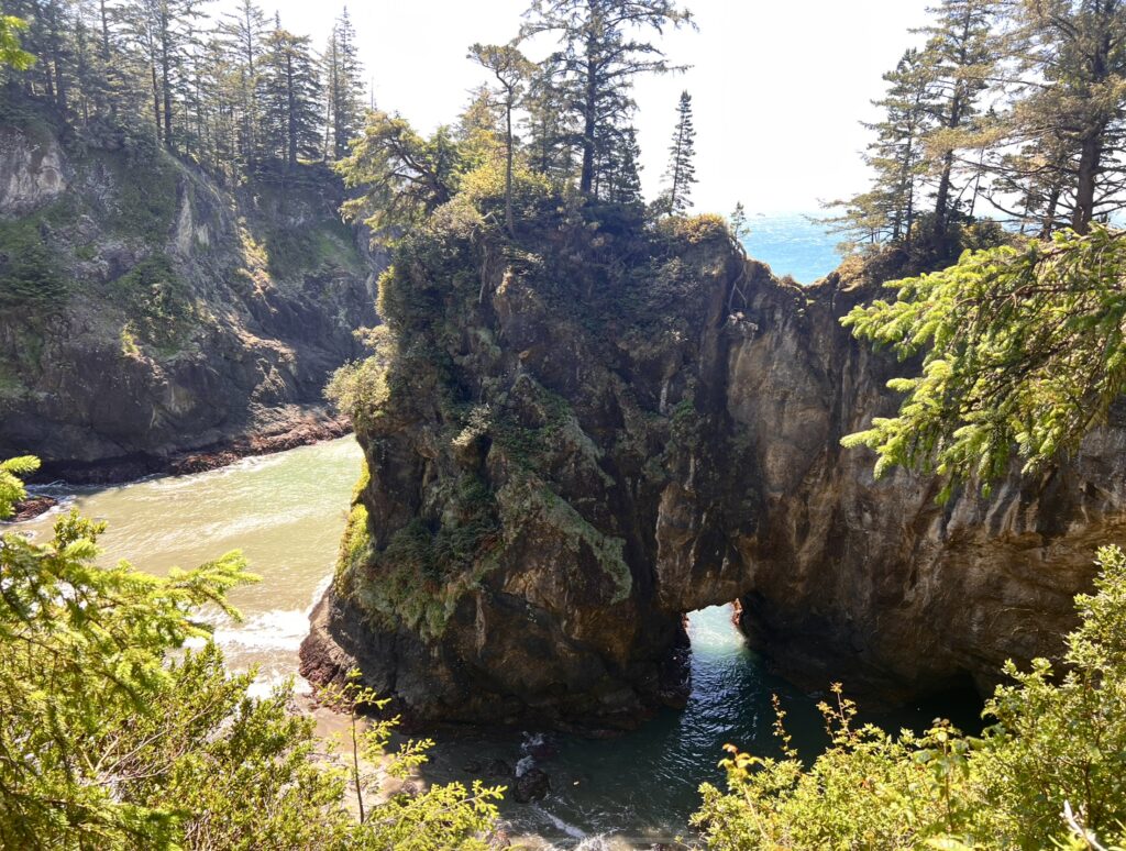
Finding the small parking lot for the cove is a little difficult. It can be found between Secret Beach and the Natural Bridges. The hike out to the cove is a short 0.8 miles. If you walk just a little further past the cove you will have views of Seal Cove to the left and Secret Beach to the right.
Natural Bridges
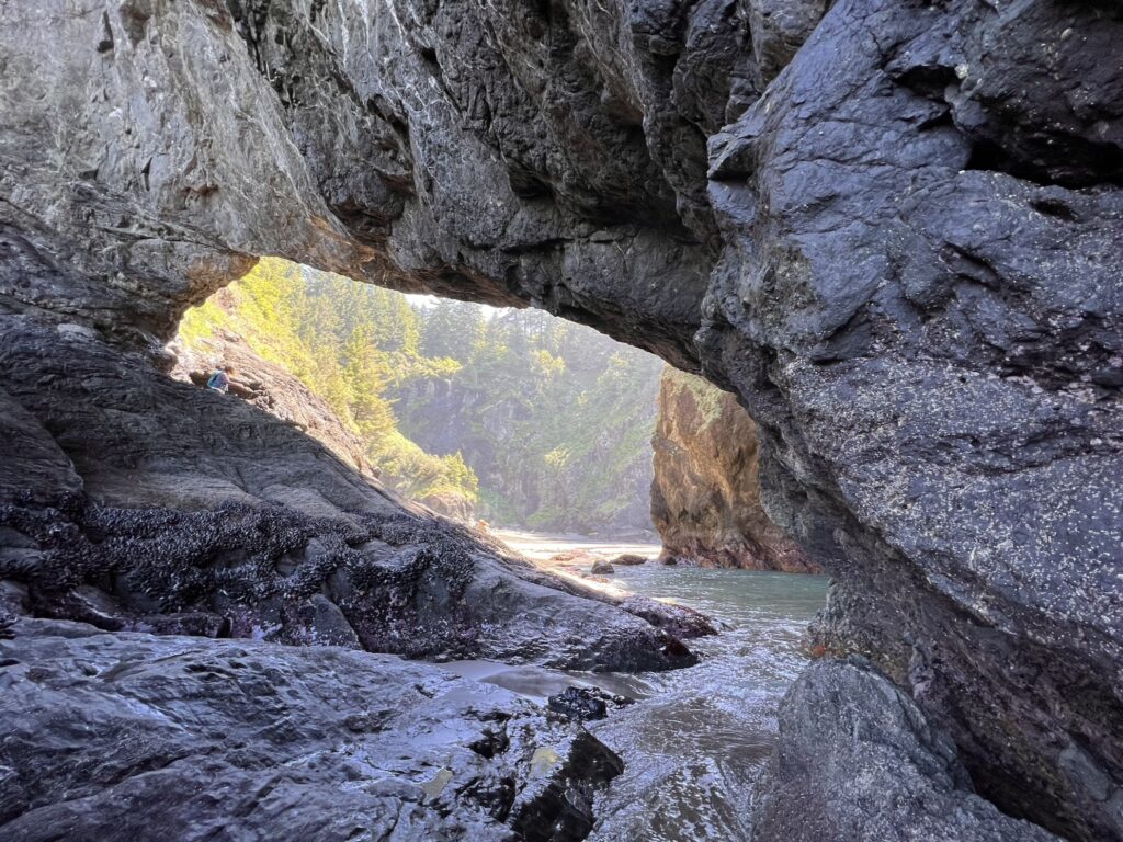
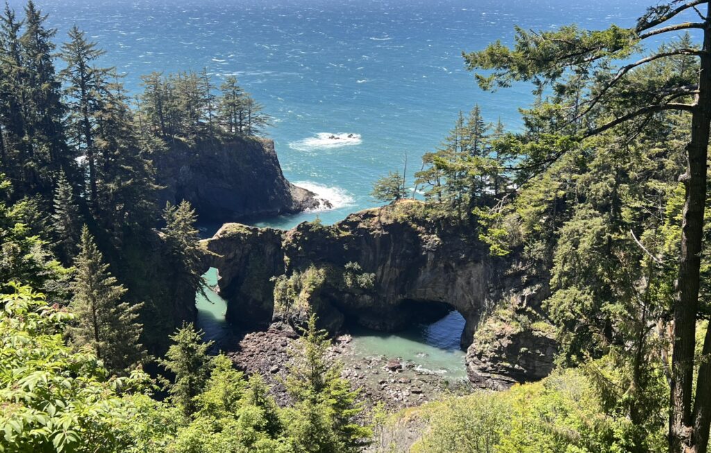
Natural Bridges is probably the most popular spot along the corridor. Located just a short walk from the parking lot, the top viewpoint is on a large wooded platform that offers the perfect view of the bridges. There are two trails that lead down to the bridges themselves that allow you to walk over them. It is extremely dangerous to do so and is only recommended for experienced hikers with appropriate hiking gear. If the rocks are wet and slippery from a rainy day, I would not attempt to cross the bridges at all. There has been a few deaths from people attempting to cross over the bridges, so proceed with caution. While I was here I did see an EMT truck. I am assuming this is from someone injuring themselves on the trail and not from someone who slipped on the bridges (I hope). I didn’t do this trail because I didn’t want to take the risk to cross the bridges while I was alone.
Cape Ferrelo Viewpoint
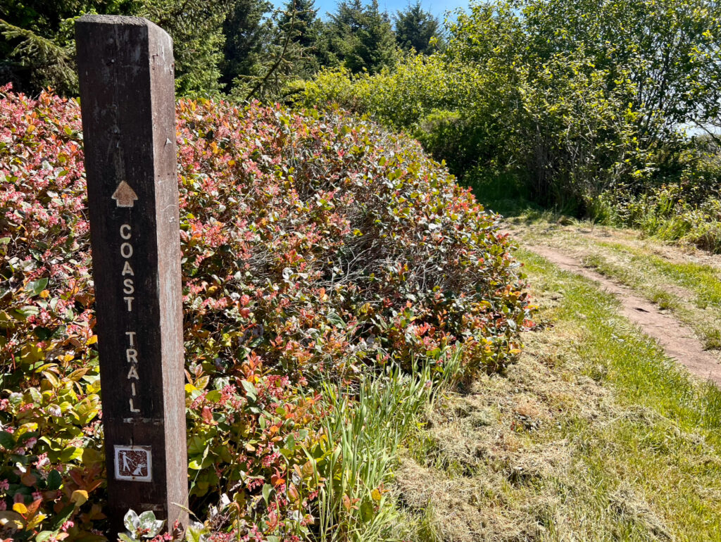
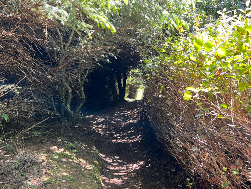
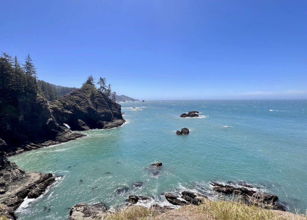
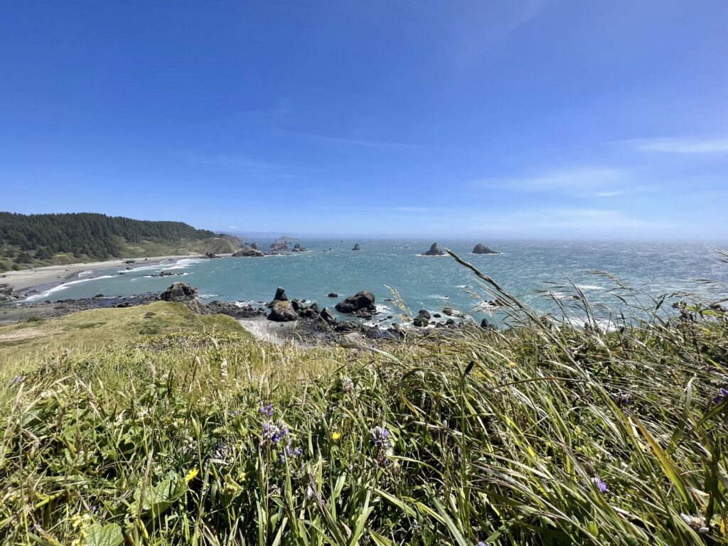
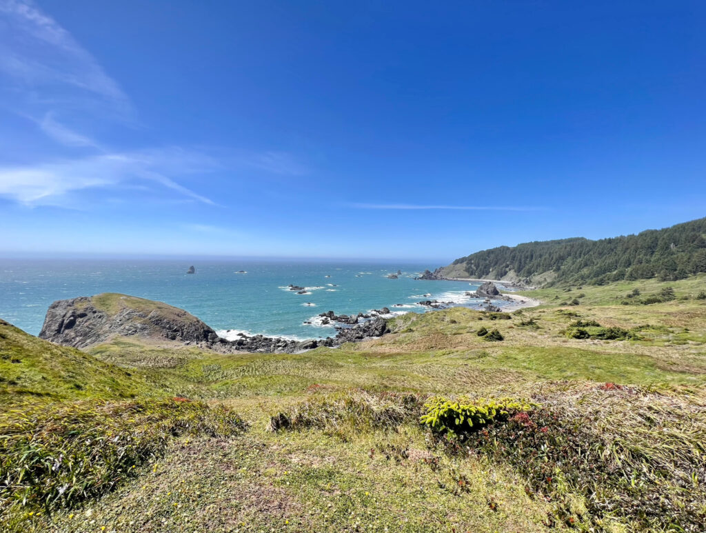
Cape Ferrelo Viewpoint is a short 1 mile hike that leads to a grassy, windswept cape with expansive views of the Oregon coast. It was most definitely windswept the day that I went as I was battling the wind the whole time. This was one of my favorite stops along the corridor because I had the entire cape to myself.
Note for the reader: I share these locations so that others can see beautiful places and enjoy nature as much as I do. Please be respectful of the outdoors and what condition it is in when you visit. Don’t go off trail, leave no trace, and pack out what you came in with.
