The Best Waterfalls in the Columbia River Gorge (Oregon Side)
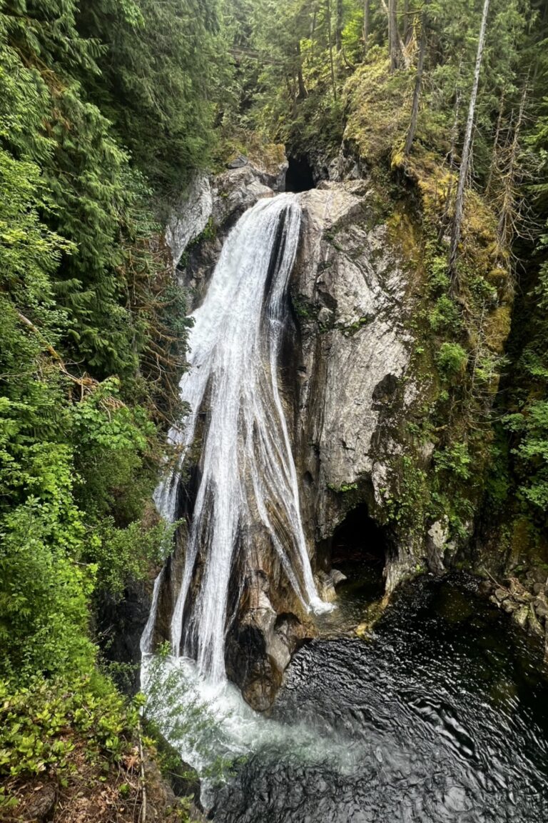
Carved by the great Missoula Floods, the Columbia River Gorge is a stunning landscape full of breathtaking vistas and abundant waterfalls. There are over 70 waterfalls on the Oregon side alone. The main reason why I made a trip to the Columbia River Gorge was to see as many waterfalls as I could in five days. I visited the gorge at the end of April specifically, so that I could see the waterfalls at their peak flow. Waterfalls in the Pacific Northwest are most powerful in the spring months of April and June due to being fueled by snowmelt from the winter months. While this post focuses on waterfalls that I saw on the Oregon side of the Columbia River Gorge, you can read my post about waterfalls on the Washington side of the gorge here. You can also read about one of the best wildflower hikes in the gorge here. The waterfalls that I saw in order from west to east on the Historic Columbia River Hwy are:
- Latourell Falls
- Shepperd’s Dell Falls
- Bridal Veil Falls
- Wahkeena Falls & Fairy Falls
- Multnomah Falls
- Horsetail Falls & Ponytail Falls
- Elowah Falls
- Wahclella Falls
- Starvation Creek State Park
All pictures in this post were taken on my Fujifilm X-T5. I used three different recipes from the FujiXWeekly app:



Latourell Falls
Latourell Falls
Recipe used – Emulsion ‘86
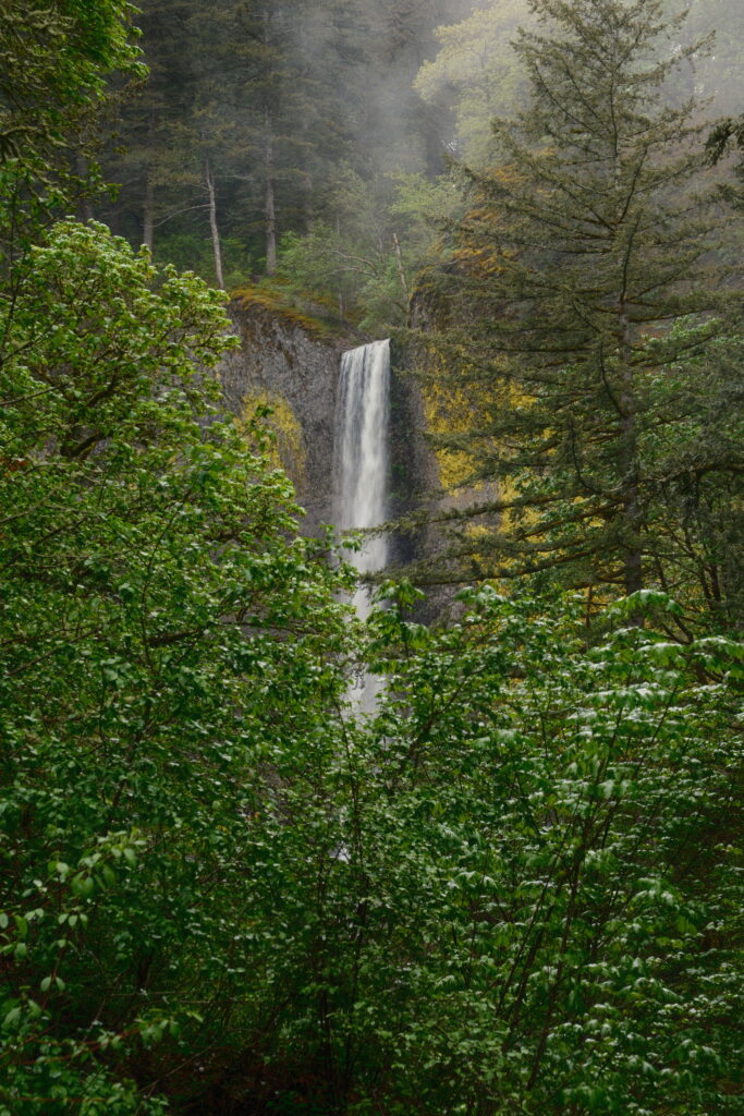
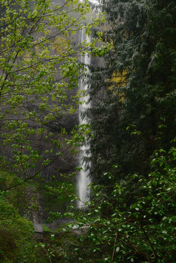
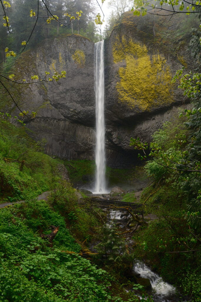
Latourell Falls Trail was under construction when I visited. The trail loops around the top of Latourell Falls and Upper Latourell Falls. Even though I wasn’t able to do this trail, I was still able to see Latourell Falls. It is visible from the parking lot through the trees. The base of the waterfall is a five minute walk round-trip from the parking lot.
shepperd
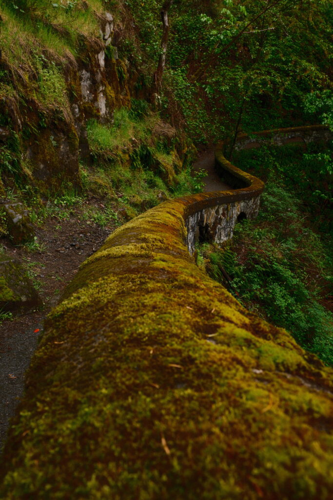
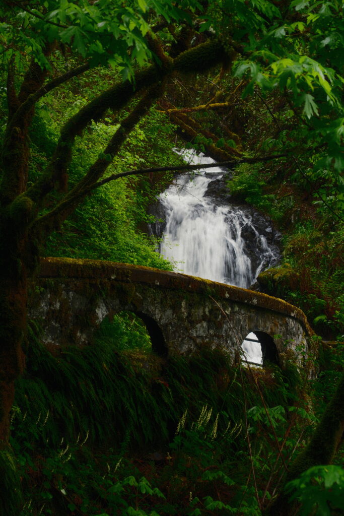
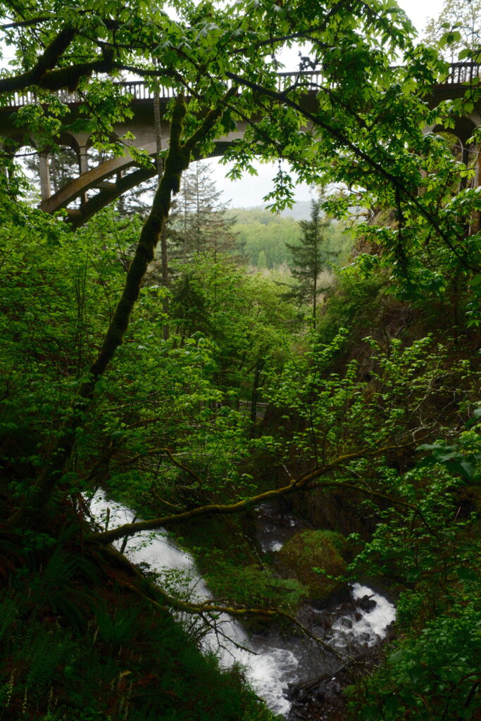
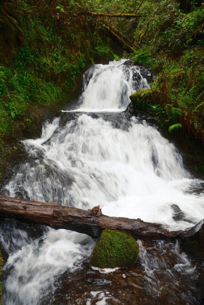
Shepperd’s Dell Falls
Recipe used – Emulsion ‘86
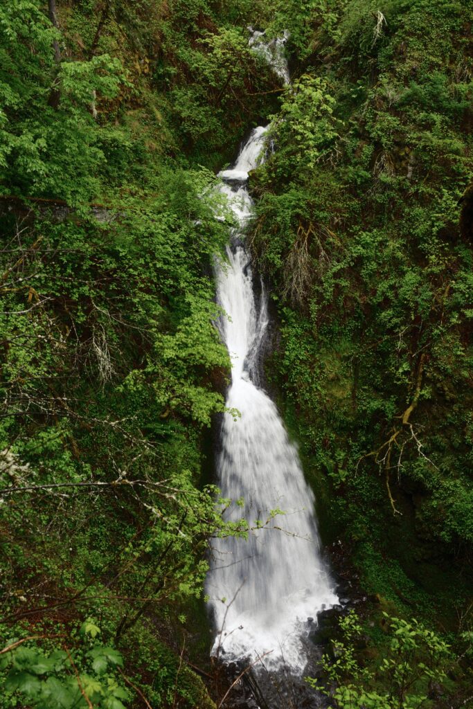
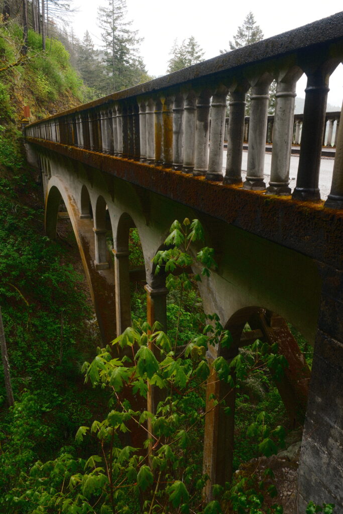
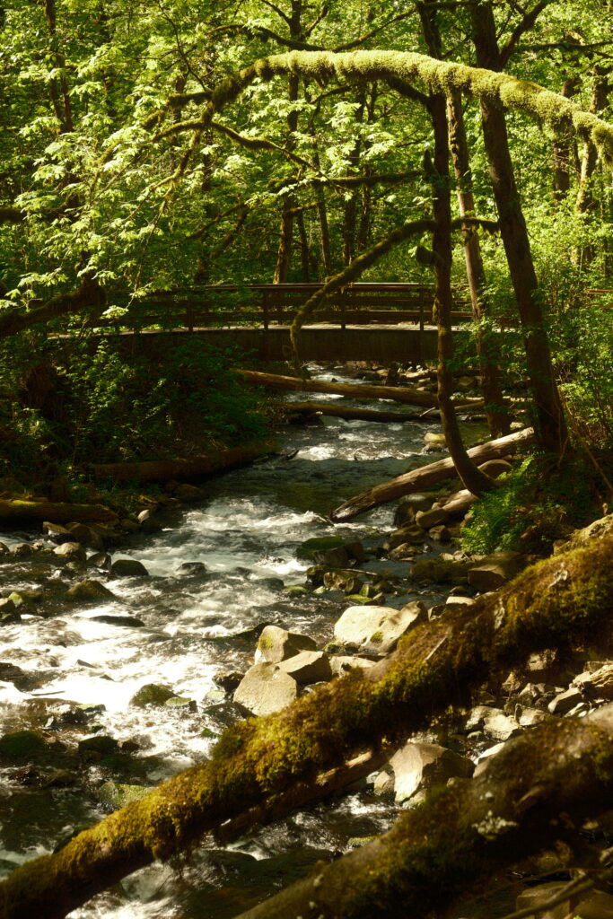
Parking for Shepperd’s Dell Falls sneaks up on you. The tiny parking lot can only hold a few cars and is located a short drive east of Latourell Falls just after the bridge. The path to this waterfall is a three minute walk round-trip. Shepperd’s Dell was one of my favorite waterfalls because the cobble stone railing paired with the bridge in the background reminded me of something you would see in the European countryside.
bridal
Bridal Veil Falls
Recipe used – 1970’s Summer
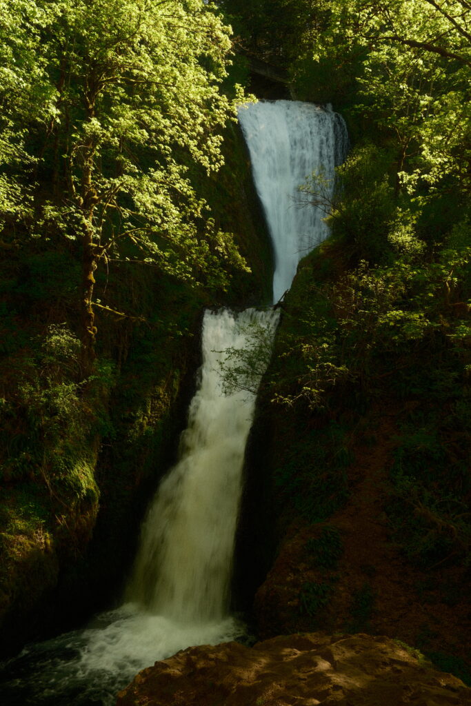
Bridal Veil Falls is located at the site of an old lumber mill in a virtual ghost town. It is a slightly steep, but short, 2/3 mile walk round-trip. If you’re looking for views of the Columbia River, there is an overlook loop trail that is only half a mile long. Bridal Veil is tucked back in a lush forest hidden under the Historic Columbia River Hwy. It flows over mossy basalt in two tiers, a drop of about 120 feet altogether.
Wahkeena
Wahkeena Falls & Fairy Falls
Recipe used – Summer of 1960
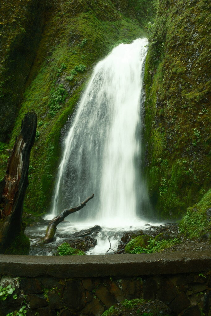
Wahkeena Falls is another short hike located 0.2 miles from the parking lot. You can get super close to this one, as it is located right off the paved path.
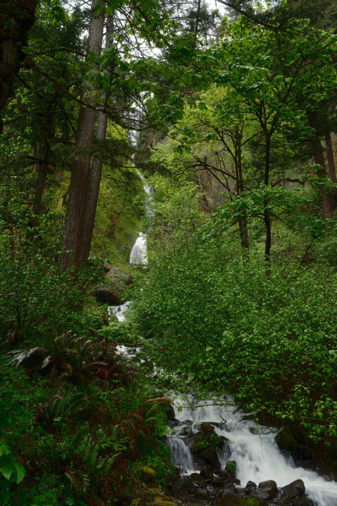
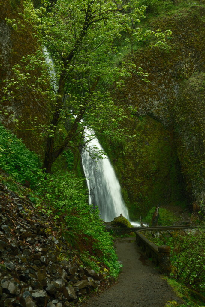
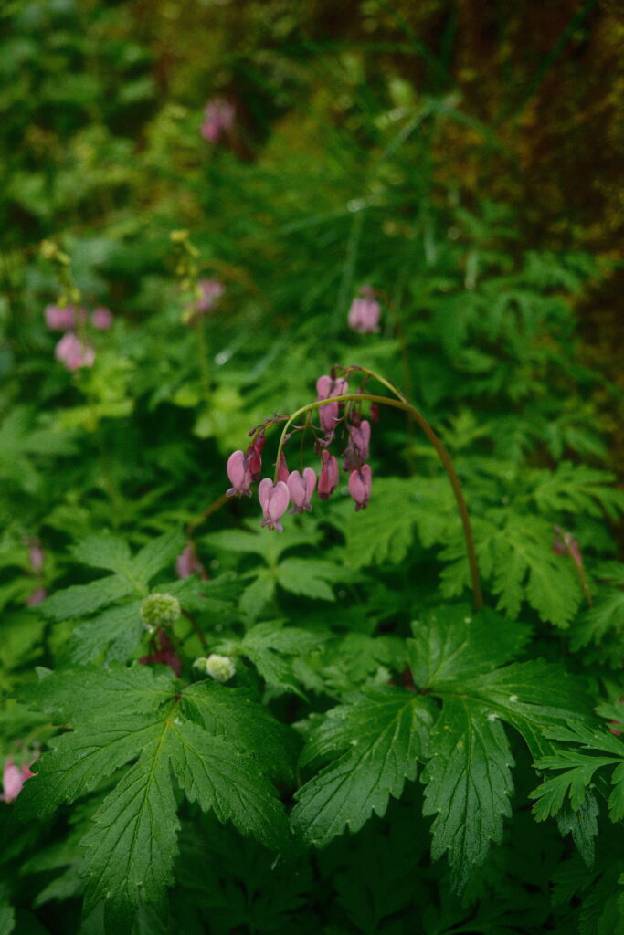
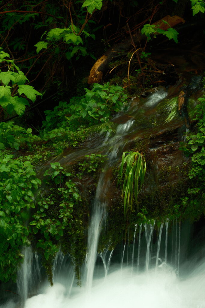
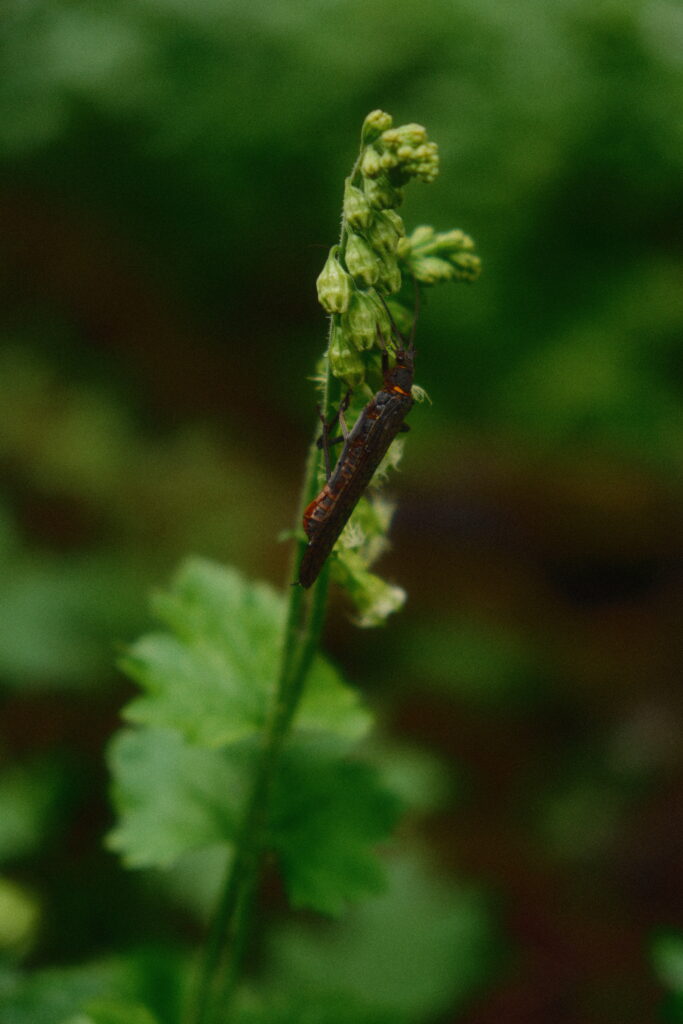
This wasn’t my final stop though. I continued hiking up the hill to reach my final destination and one of my favorite waterfalls in the gorge, Fairy Falls. While the hike to Fairy Falls is only about 2 miles round-trip, it is very steep. I had to stop a few times to catch my breath. After you pass Wahkeena Falls, you will start climbing multiple paved switchbacks up the steep hill. Once you reach the top of the hill, the trail continues on your left and becomes unpaved. This section of the trail was fairly easy, but there is one steep spot next to a large log that can get muddy. After climbing the hill, you just have to walk a little further and you’ll see Fairy Falls.
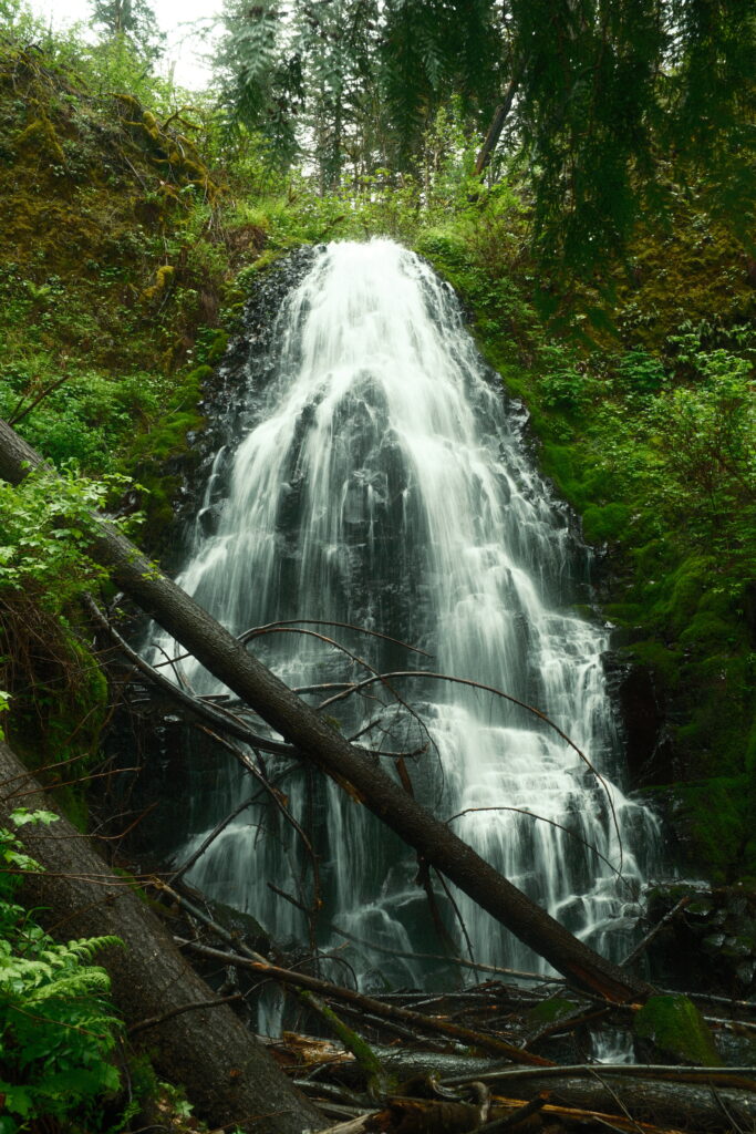
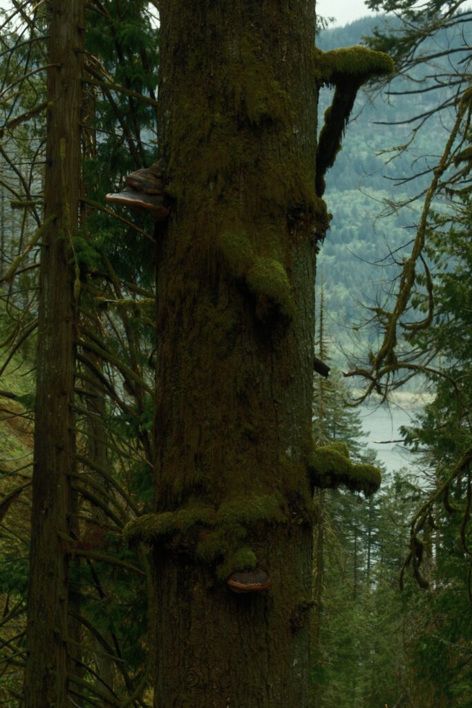
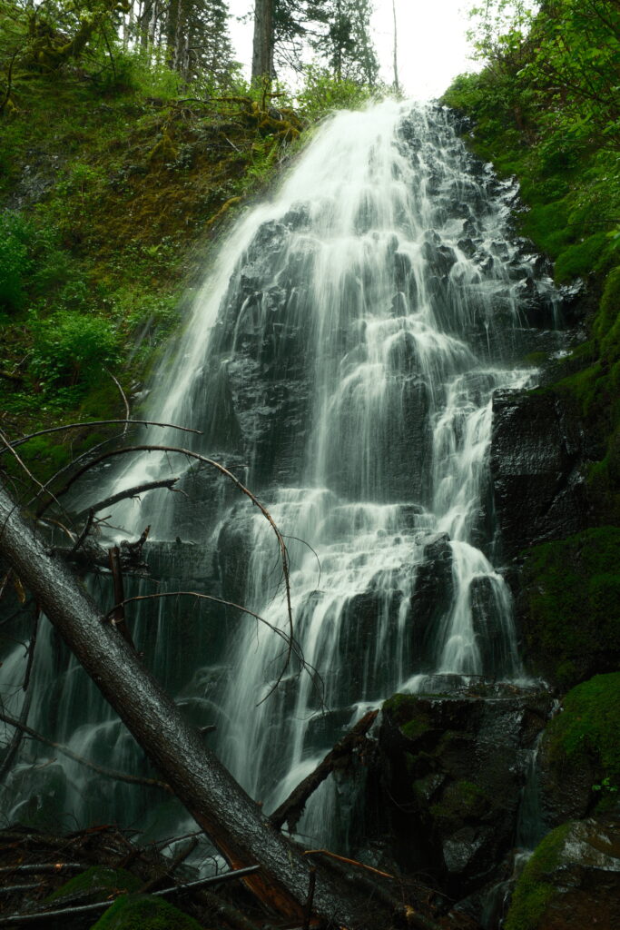
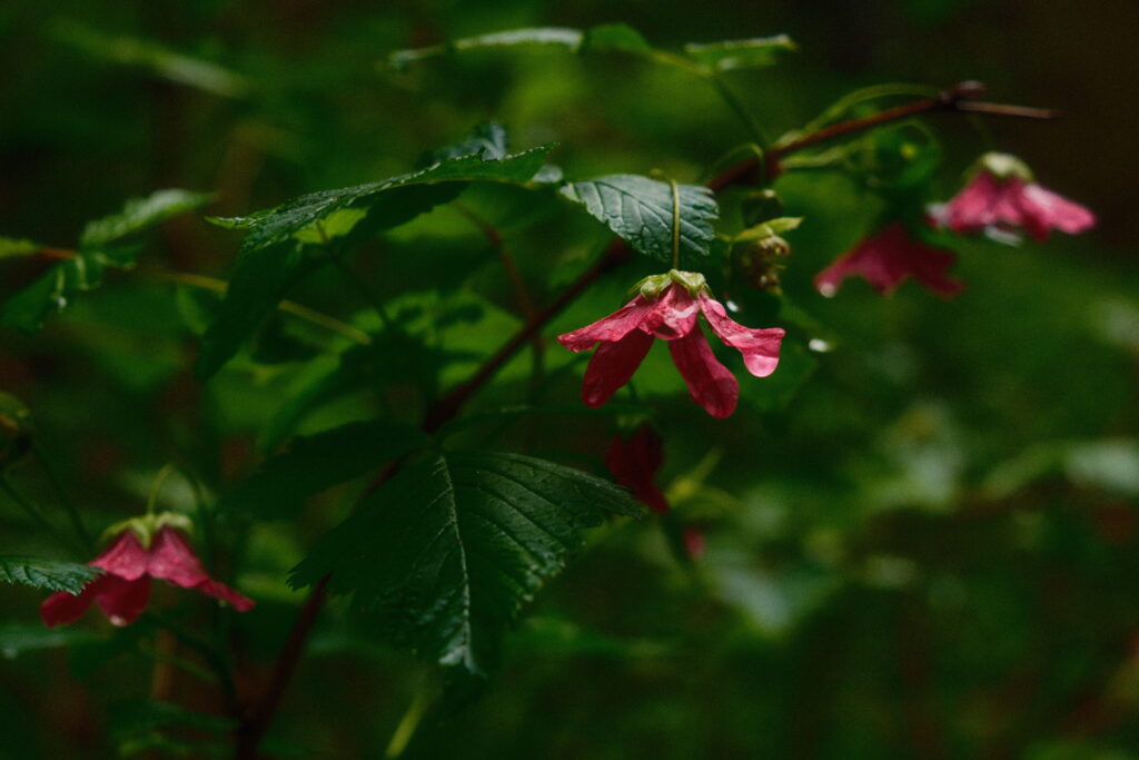
I think the reason I loved this waterfall so much is because I’m a huge fan of the fantasy genre. So, the fact that it was named Fairy Falls appealed to me. Gazing upon this waterfall and walking through the surrounding area definitely made me feel like I was in my own fantasy world.
Multnomah
Multnomah Falls
Recipe used – Emulsion ‘86
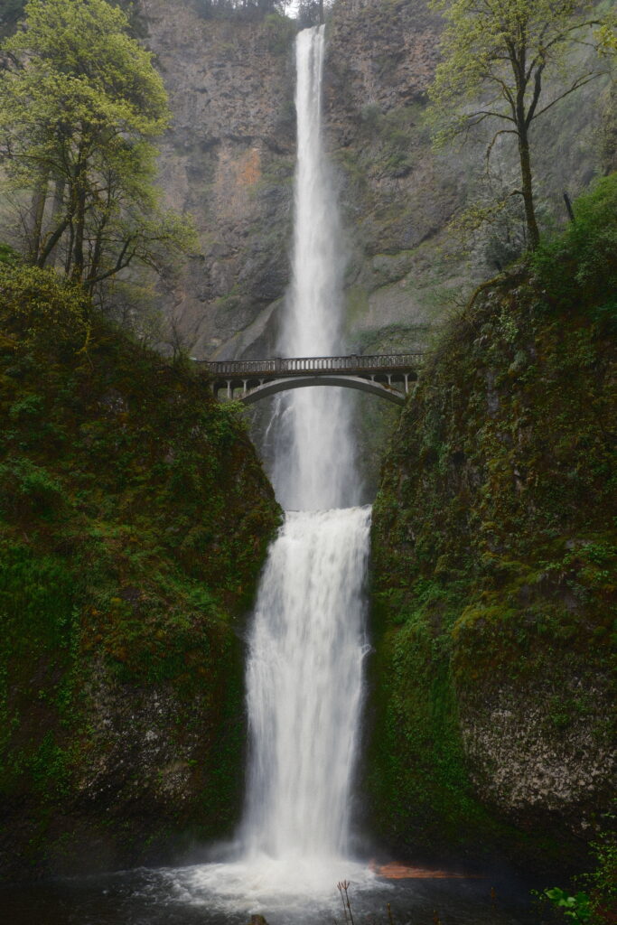
Multnomah Falls is the most visited natural recreation site in the Pacific Northwest with more than 2 million visitors every year. What would a trip to the Columbia River Gorge be without gazing upon this massive waterfall? It is Oregon’s tallest waterfall at 620 feet. I got here early in the morning to beat the crowds. There was only a couple of other people here when I arrived and I was able to park in the parking lot that’s directly across the street. There is a trail that leads up to the bridge and past it to other waterfalls, but I didn’t do this trail.
horsetail
Horsetail Falls & Ponytail Falls
Recipe used – Summer of 1960
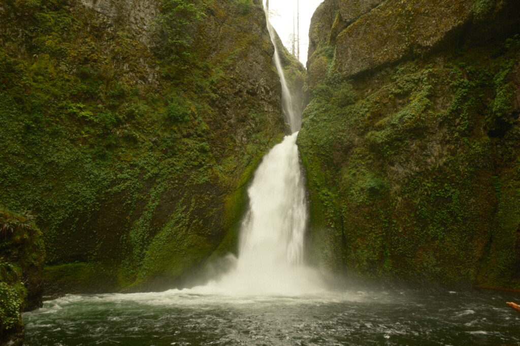
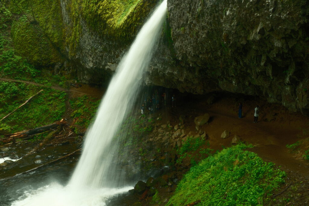
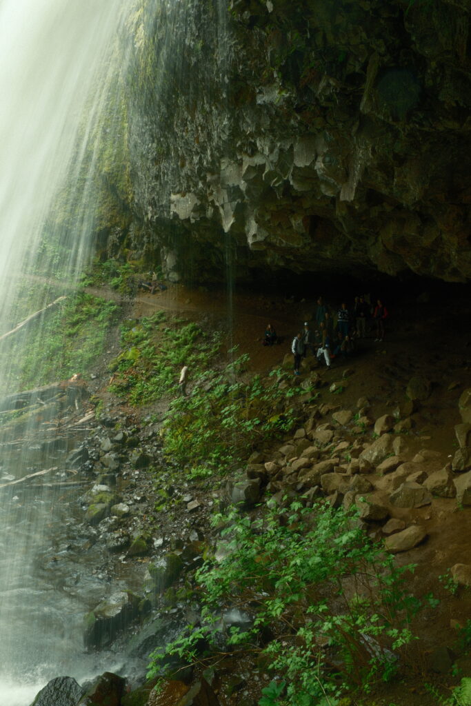
Horsetail Falls can be seen right off the side of the road. After a short stop at Horsetail Falls, the trail to Ponytail Falls is on your left. The hike to Ponytail Falls is about 1 mile round-trip and has a steady incline. When you first look at it, Ponytail Falls looks like a near replica of Horsetail Falls.
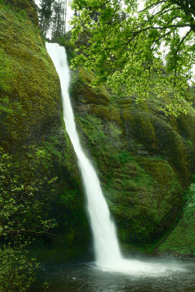
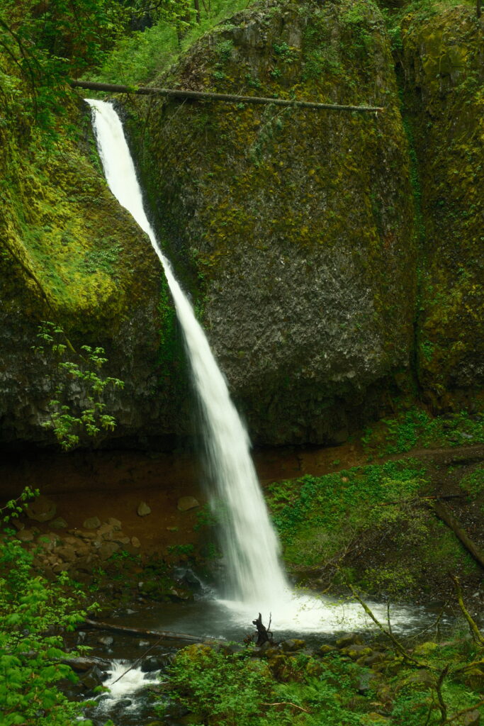
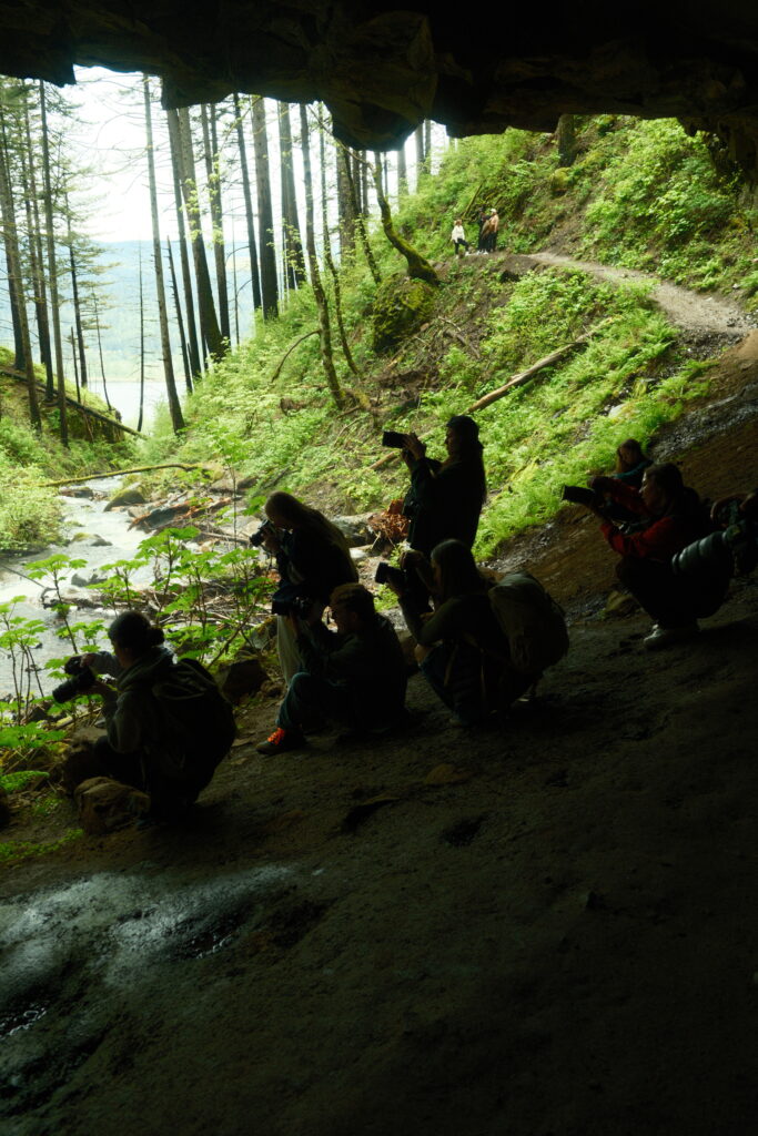
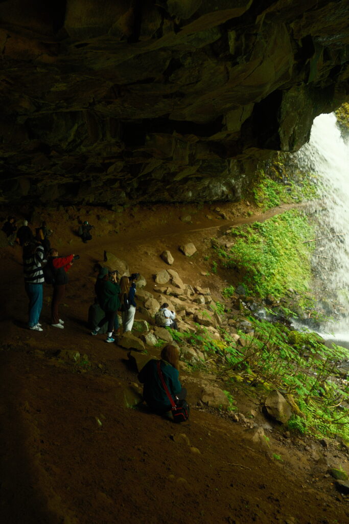
Can you spot the difference? It is hard to tell from the pictures, but Ponytail is half the height of Horsetail. Unlike with Horsetail, you can walk behind Ponytail in a naturally eroded cavern.
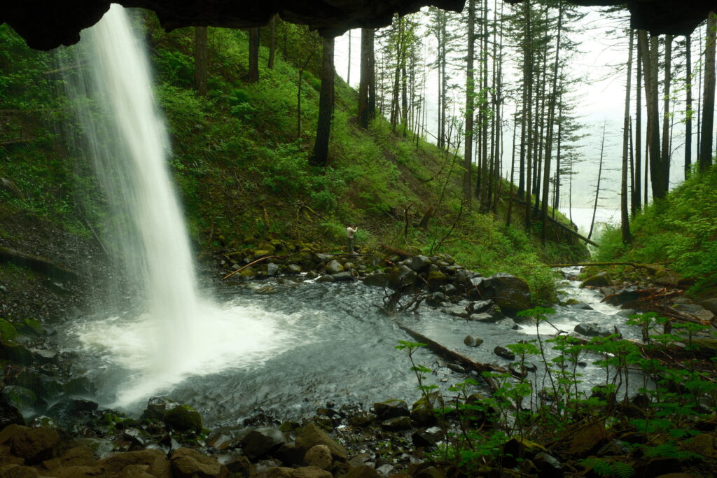
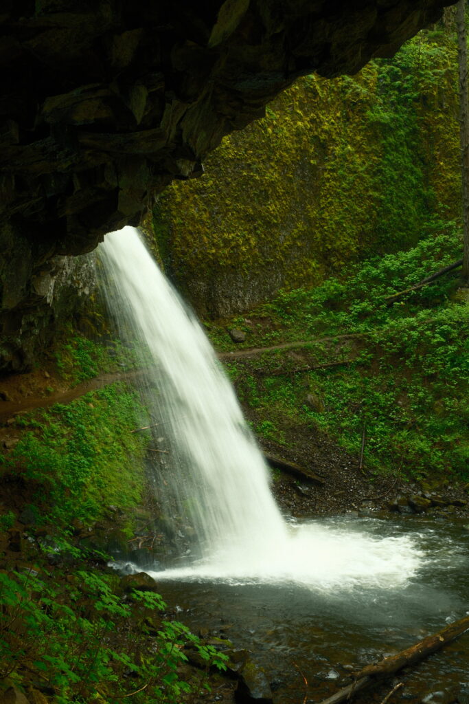
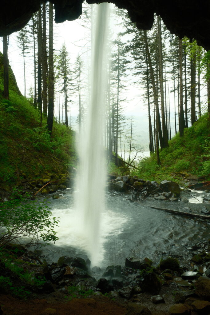
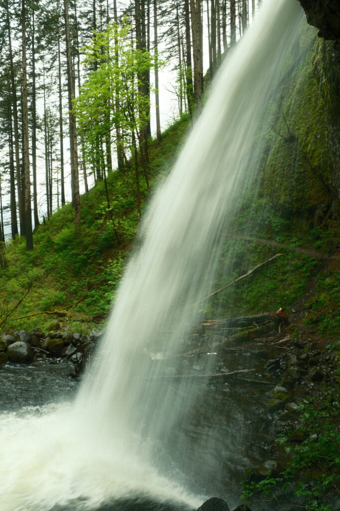
When I was there, there was some type of photography class going on. There was a bunch of photographers with their cameras out. It was kind of funny watching everyone point their cameras in the same direction. I was able to blend in with the crowd for once.
Elowah
Elowah Falls
Recipe used -Emulsion ‘86
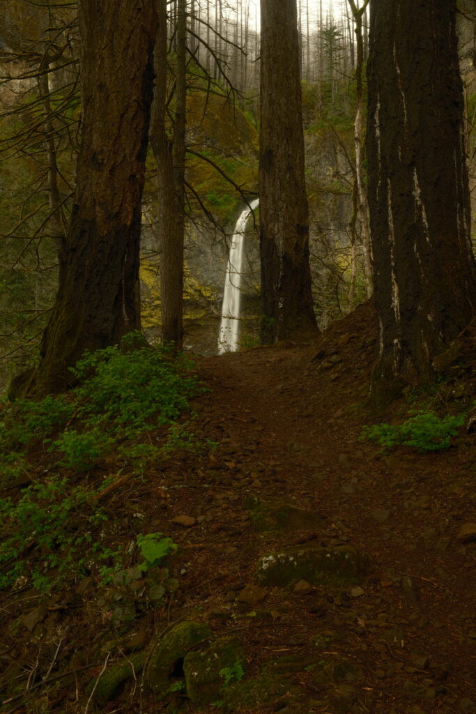
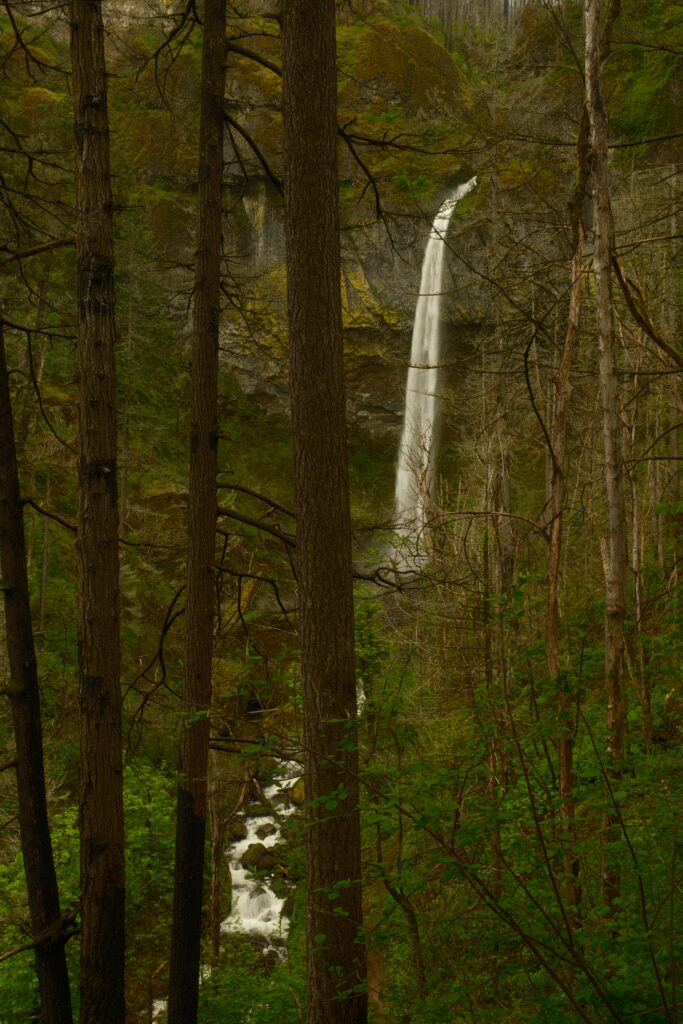
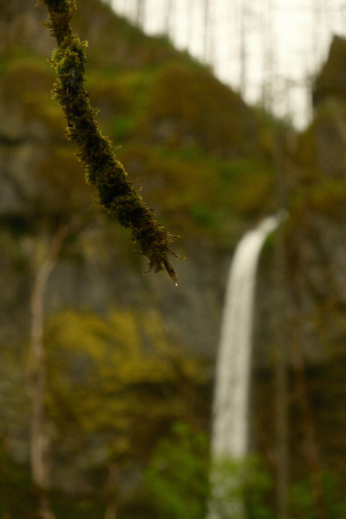
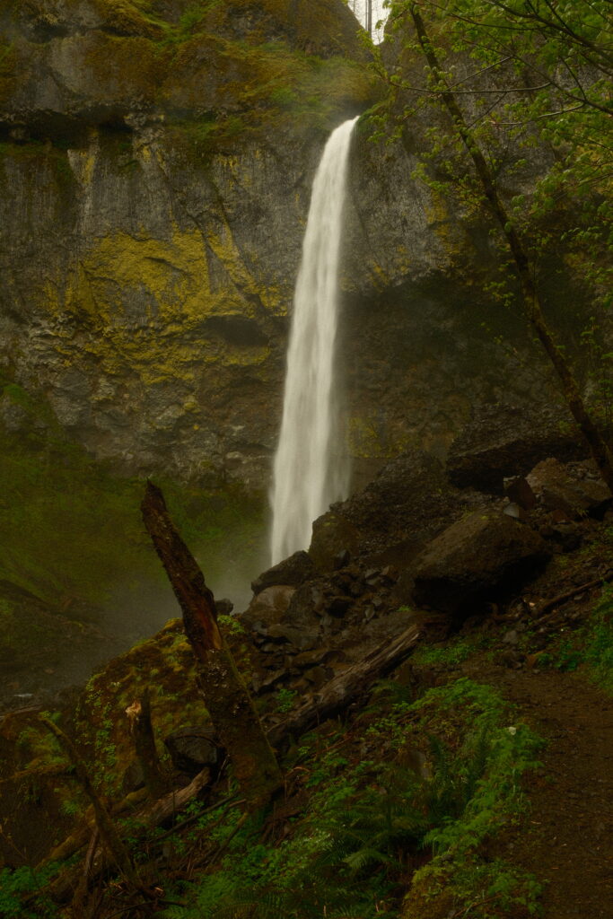
Elowah isn’t as popular as the other waterfalls, but is definitely worth a visit. I only saw two other people on my hike there. When I got to the waterfall, I had it all to myself. The hike is an easy 1.6 miles round-trip. To get to Elowah Falls, take a left when there is a split in the trail. The trail to the right leads you to the Upper Falls, but it might be closed like it was when I was there. When you have your first view of the falls, you’ll start to go down a small hill on switchbacks. There will be continuous view of Elowah through the trees. Once you reach the base of the waterfall there are large rocks on the side that you can climb on to get better views. Since I went when the waterfalls were at the peak flow, Elowah was creating a lot of mist. I had to put my rain jacket on and I put my camera away because I didn’t want to get it wet.
wahclella
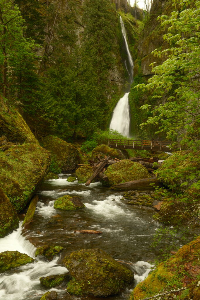
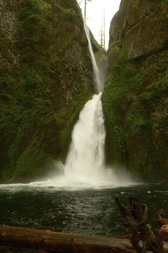
Wahclella Falls
Recipe used – Emulsion ‘86
This easy 2.4 mile hike to Wahclella Falls was my favorite on the Oregon side of the gorge. Listening to the trickle of Tanner Creek while being surrounded by green rainforest vegetation made for a very soothing and grounding hike. You will pass your first waterfall, Munra Falls, after about half a mile.
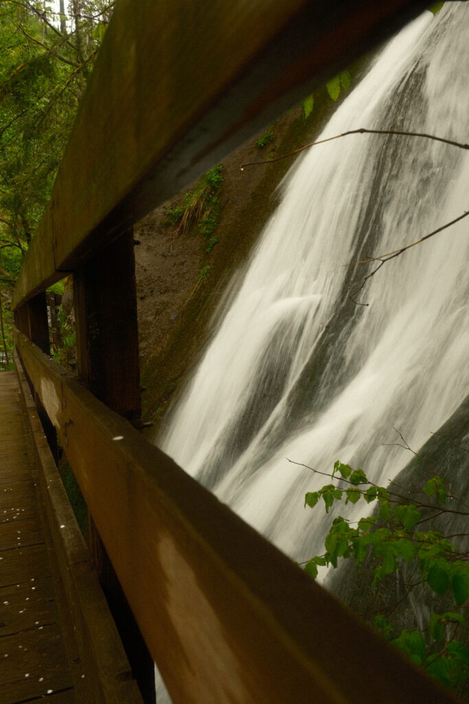
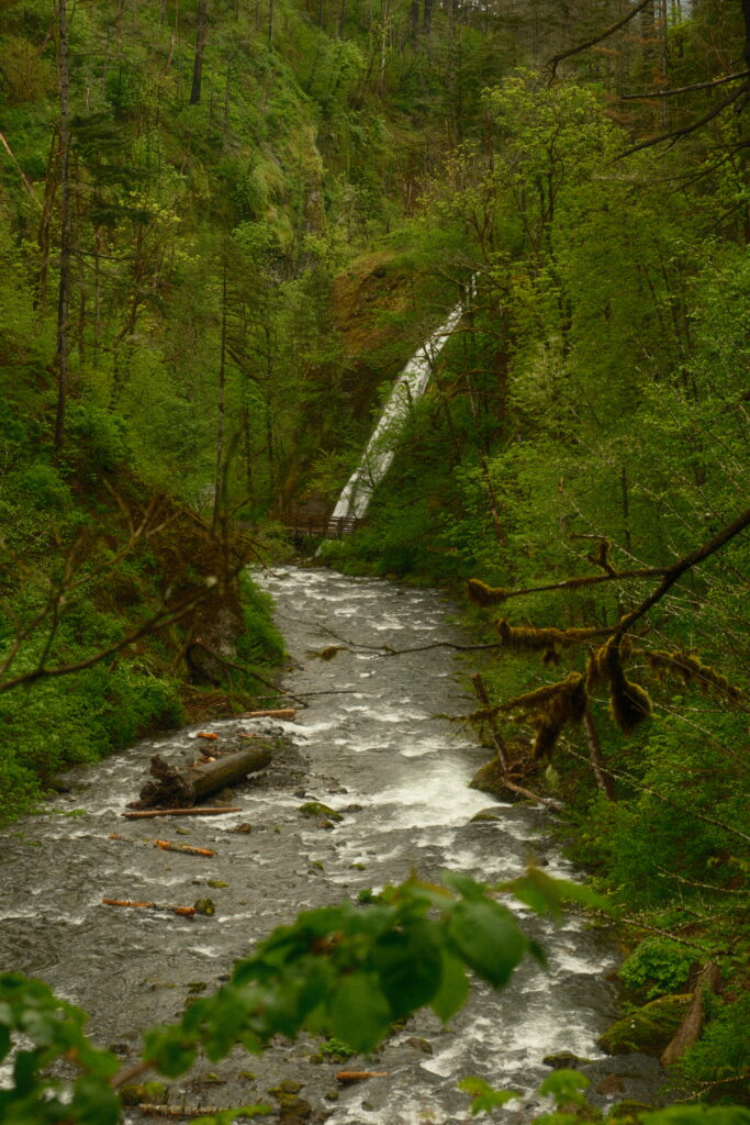
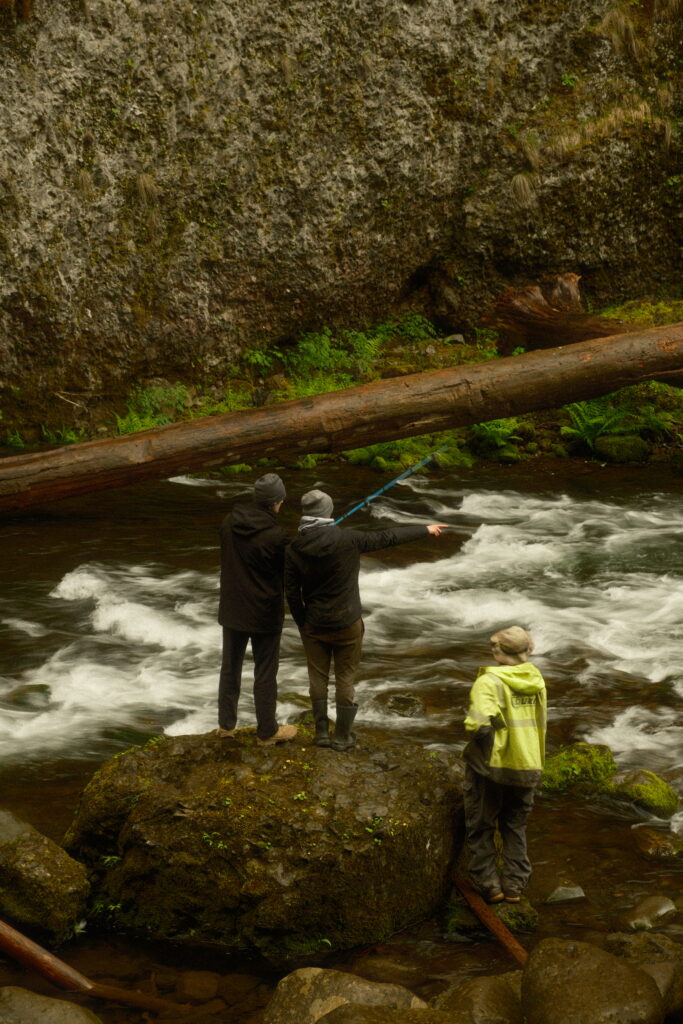
After walking further on this trail, it will split into two. One path leads upwards and the other path leads downwards. Both paths connect in a loop to Wahcella Falls, so it doesn’t matter which path you take. I chose to go down because I didn’t want to walk up a hill (I did this hike on my last day and was exhausted). From the split in the trail, Wahcella isn’t much further. When I reached the waterfall, it wasn’t too crowded. I was able to enjoy a snack in peace and stared at the waterfall for about 30 minutes. There was a couple of people fishing too, which was fun to watch.
Starvation
Starvation Creek State Park
Recipe used – 1970’s Summer
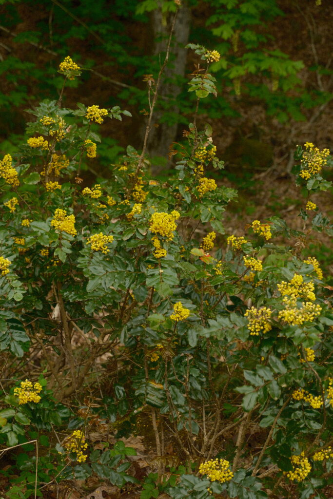
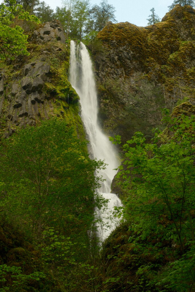
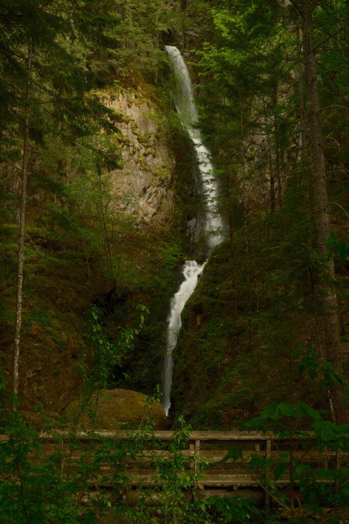
Starvation Creek State Park consists of four waterfalls within a 1.6 mile out-and-back journey. Most of this path is paved and flat, so seeing these waterfalls is high reward for minimal effort. The only downside to this trail is that you will be walking right next to the highway, so it can get noisy in certain sections of the trail.
Starvation Creek Falls
Starvation Creek Falls is 0.1 miles to the left of the parking lot. There are two theories on the origin of the name Starvation Creek. It is said that a party of overland pioneers nearly starved here from a lack of provisions. This place was also called Starveout after two Union Pacific Railroad trains were stalled in the area by heavy snows in the winter of 1884-1885.
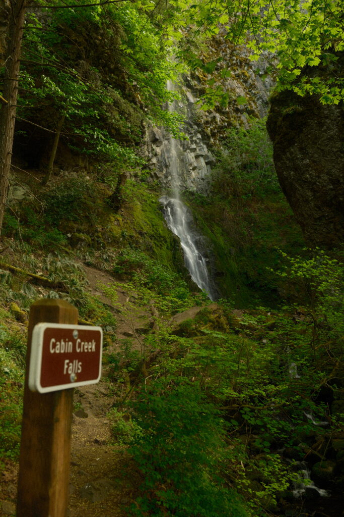
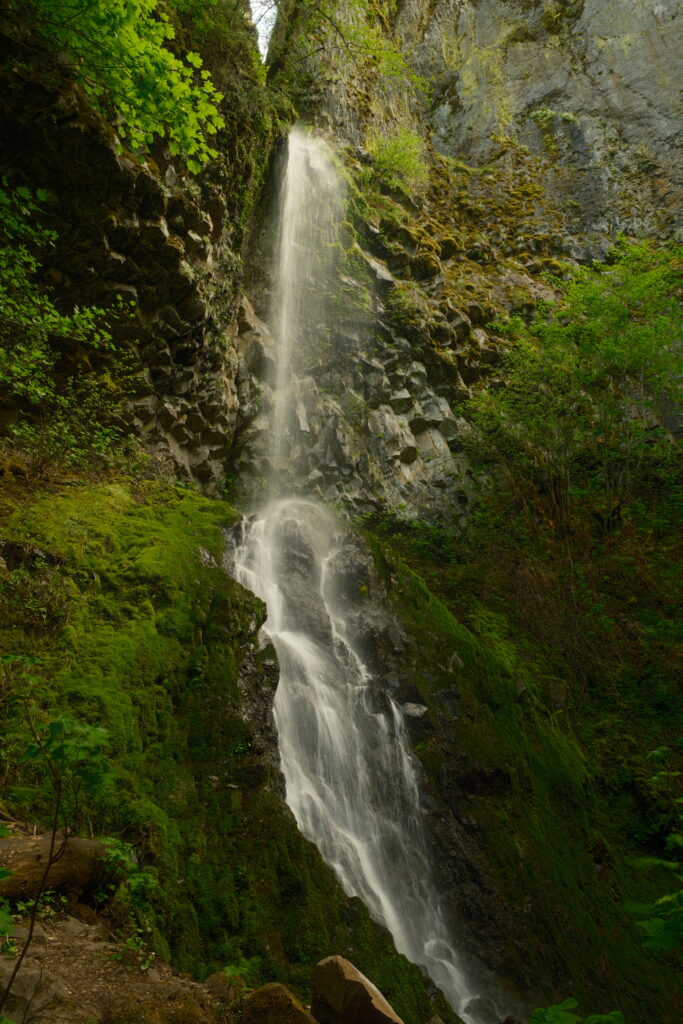
Cabin Creek Falls
Cabin Creek Falls is 0.3 miles from the parking lot. This waterfall cascades 220 feet into a small amphitheater between the cliff and a huge boulder. Though the noise of traffic is loud on the trail leading up to this waterfall, the mood here is quiet and almost serene.
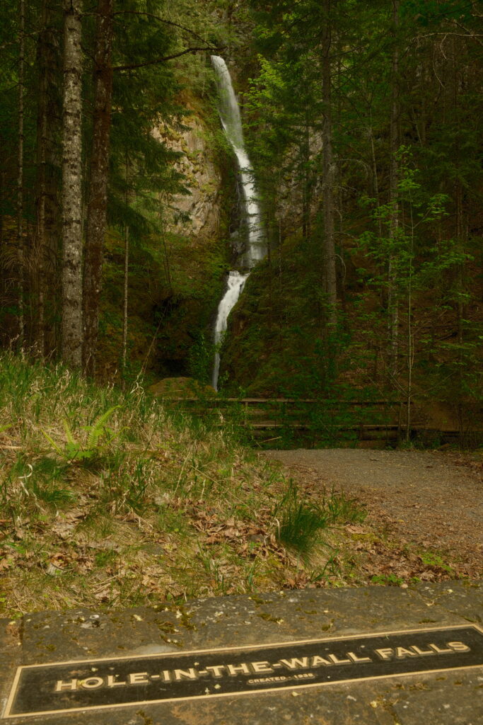
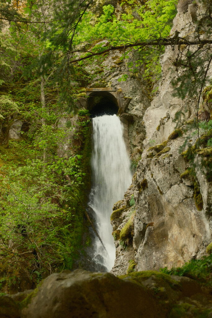
Hole-in-the-Wall Falls
Hole-in-the-Wall Falls is another 0.3 miles past Cabin Creek Falls. This waterfall is unique because it was created by maintenance crews. There was an ongoing flooding problem at Warren Creek. In 1938, highway supervisors decided that best way to get rid of the problem was to remove the creek. A pipe-like channel was blasted through the rock and Hole-in-Wall-Falls was born.
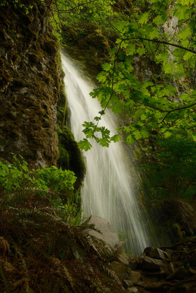
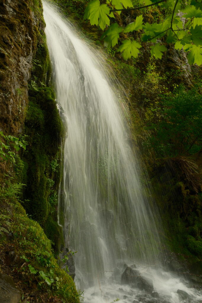
Lancaster Falls
Lancaster Falls is the last waterfall of the four and is just 0.2 miles past Hole-in-the-Wall Falls. This section of the trail is not paved, but it is not very difficult to walk on. Lancaster Falls is the smallest one of the four waterfalls. This trail continues past Lancaster up to Mount Defiance.
Note for the reader: I share these locations so that others can see beautiful places and enjoy nature as much as I do. Please be respectful of the outdoors and what condition it is in when you visit. Don’t go off trail, leave no trace, and pack out what you came in with.
